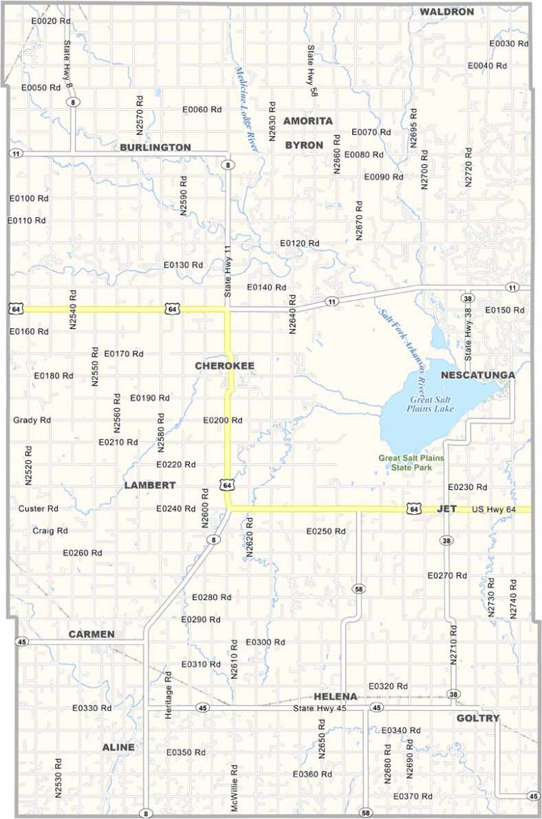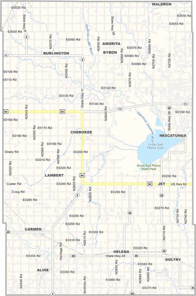
Alfalfa County Map, Oklahoma

Alfalfa County, Oklahoma

Alfalfa County is in the northern reaches of Oklahoma, a place with fields of wheat. The county got its name from a type of hay, if you can believe it.

Cherokee, the county seat, is not a metropolis by any means. It's small-town Oklahoma at its finest, and the farmers here work hard, real hard.

But there's more to this place than just agriculture. The Great Salt Plains are a sight to behold, and you can come here to dig for selenite crystals. It's one of the only places in the world where you can find these hourglass-shaped gems.
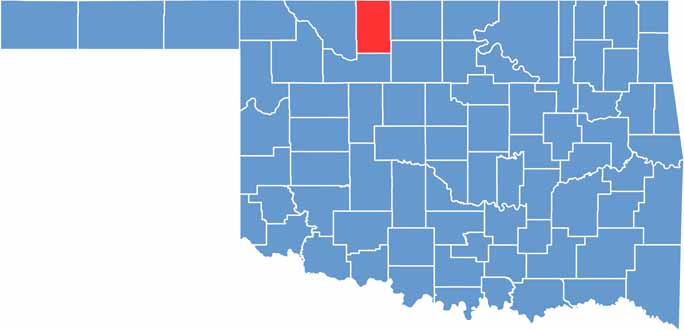

Location map of Alfalfa County, Oklahoma
CategoryDetails
County NameAlfalfa County
County SeatCherokee
EtymologyNamed after William H. "Alfalfa Bill" Murray, ninth Governor of Oklahoma
Cities, Towns, and CommunitiesCherokee, Goltry, Carmen, Burlington
Interstates and HighwaysU.S. Highway 64, State Route 8, State Route 11
FIPS Code40-003
Total Area1,051 square miles (land and water)
Adjacent CountiesHarper County, Kansas (Northeast), Grant County (East), Garfield County (Southeast), Major County (South), Woods County (West), Barber County, Kansas (Northwest)
Time ZoneCentral Time Zone
StateOklahoma
Coordinates36.7012° N, 98.1810° W
Major LandmarksSalt Plains National Wildlife Refuge, Alfalfa County Fairgrounds
PopulationApproximately 5,500
Scroll to Top