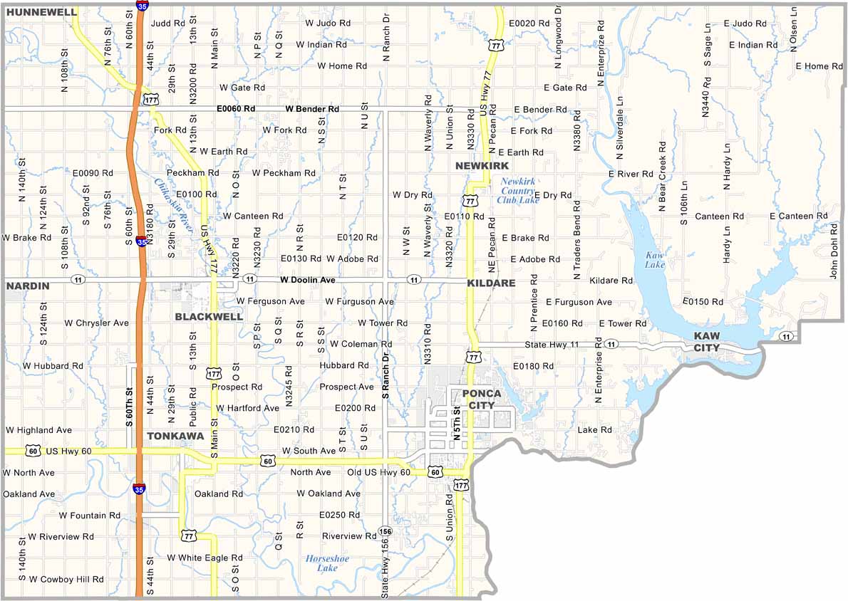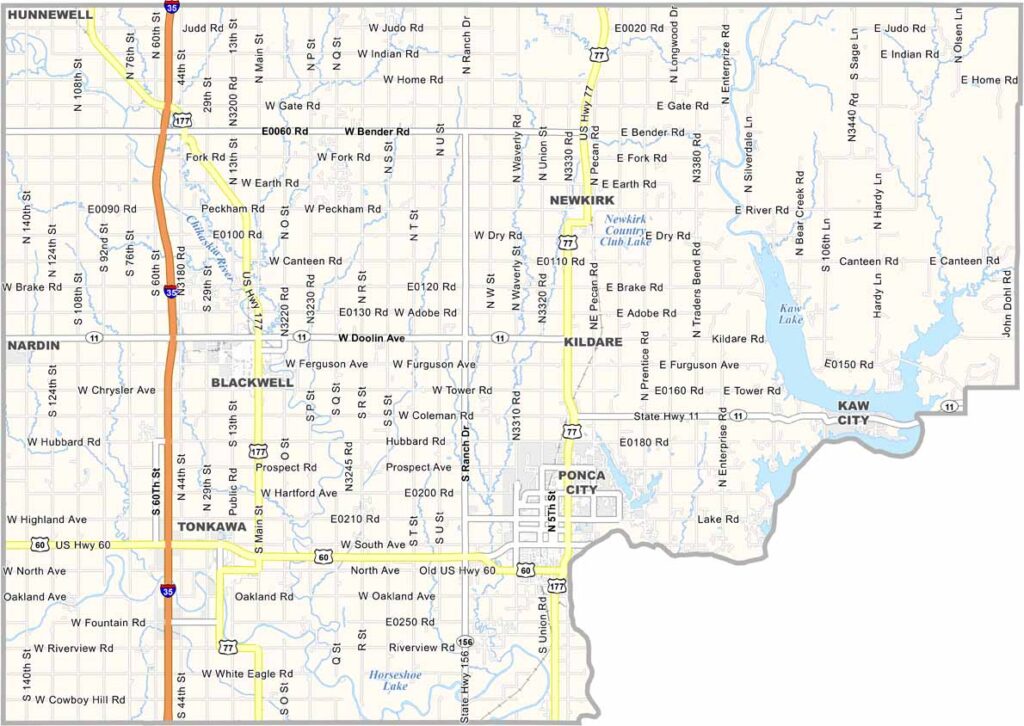
Kay County Map, Oklahoma

Kay County, Oklahoma

Kay County is up in north-central Oklahoma, bordering Kansas. Ponca City is the largest town, but Newkirk is the county seat. Oil put it on the map, and there's a bit of everything here.

History runs deep here, and Kay County is home to the Ponca Nation. There's culture too, and the Marland Mansion is a sight to behold.

Agriculture remains vital, with crops like wheat, corn, and soybeans. People in this county are resilient. They've weathered plenty of storms, both literal and figurative.
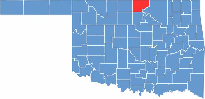

Location map of Kay County, Oklahoma
CategoryDetails
County NameKay County
County SeatNewkirk
EtymologyNamed after original designation of county "K"
Cities, Towns, and CommunitiesPonca City, Newkirk, Blackwell, Tonkawa, Kaw City, Braman, Kildare
Interstates and HighwaysInterstate 35, U.S. Highway 60, U.S. Highway 77, U.S. Highway 177
FIPS Code40-071
Total Area (Land and Water)945 square miles (920 sq mi land, 25 sq mi water)
Adjacent Counties (and Direction)Cowley County, Kansas (North), Garfield County (Southwest), Grant County (West), Noble County (South), Osage County (East), Sumner County, Kansas (North)
Time ZoneCentral Time Zone (CST)
StateOklahoma
Coordinates36°49'N, 97°08'W
Major LandmarksKaw Lake, Marland Mansion, Standing Bear Park, Pioneer Woman Museum
PopulationApproximately 42,000
Scroll to Top