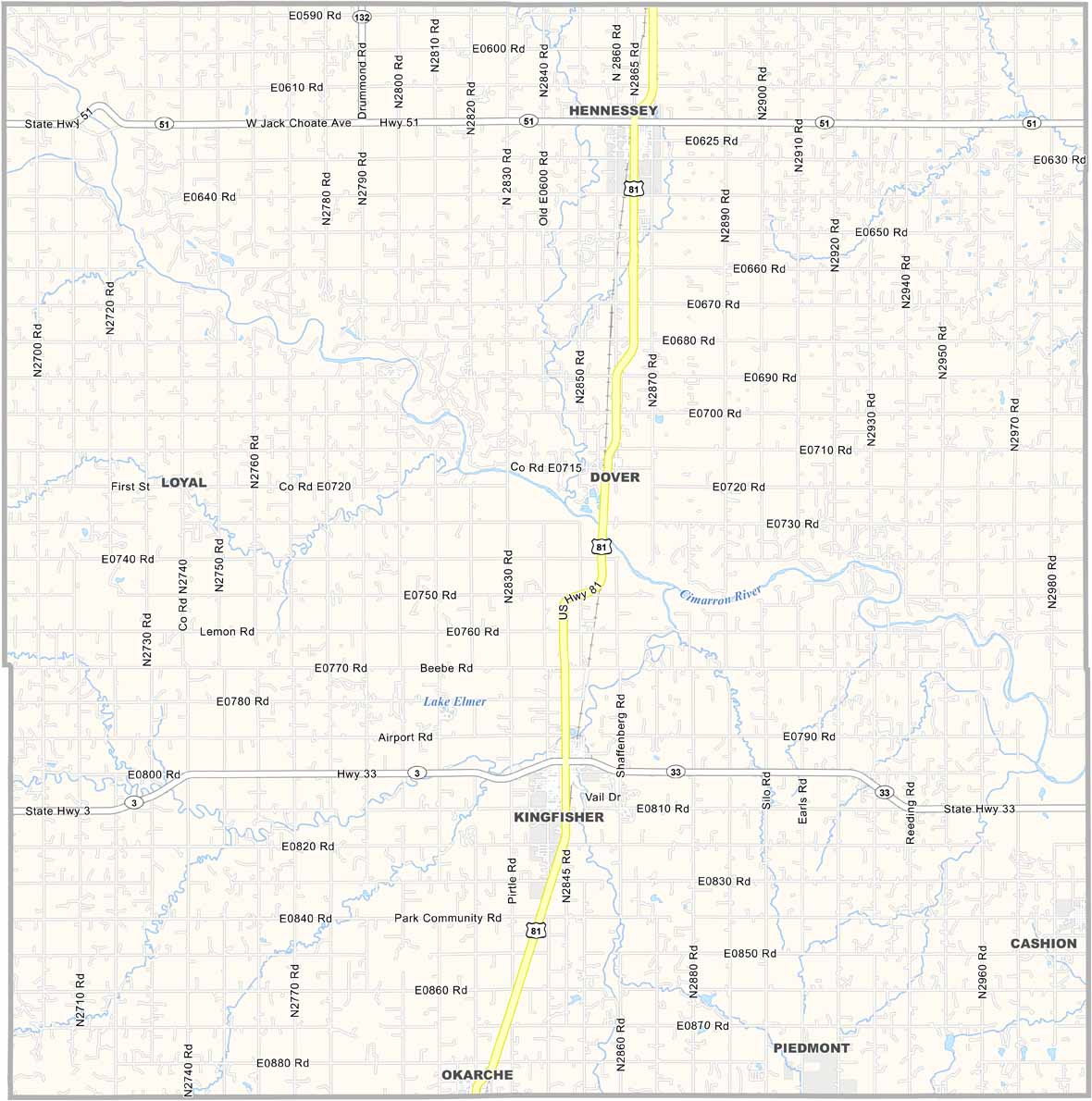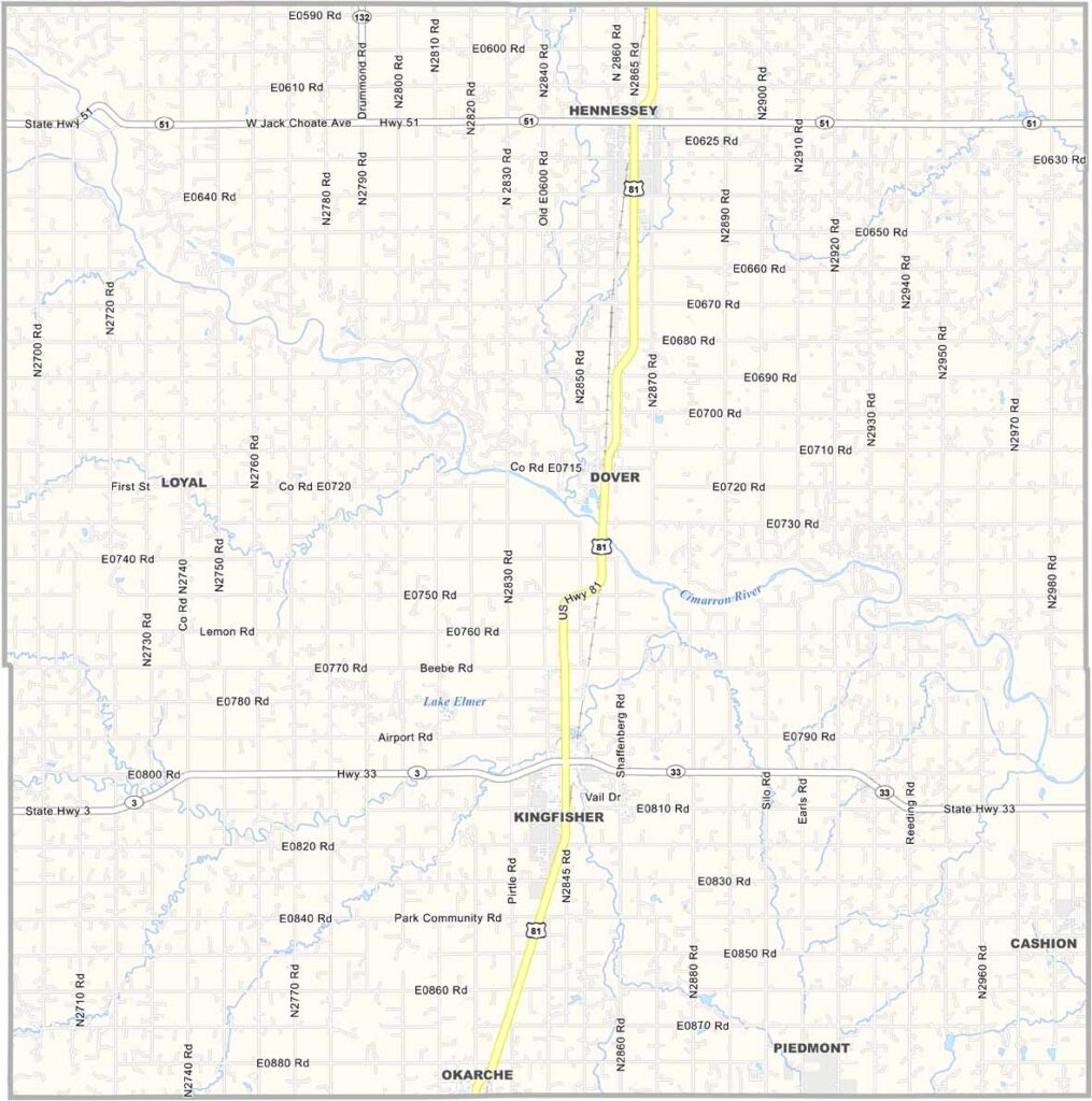
Kingfisher County Map, Oklahoma

Kingfisher County, Oklahoma

Kingfisher County sits in central Oklahoma, right in the heart of the state. The town of Kingfisher serves as the county seat in the south-central region of the county.

This place has seen its share of excitement, as it was part of the famous Land Run of 1889. Oil and gas have played a big role here, and you can still see pump jacks around.

But it's not all about fossil fuels, because agriculture is a major player too. The people here are proud of their heritage, and they celebrate it every year with the Kingfisher County Free Fair.
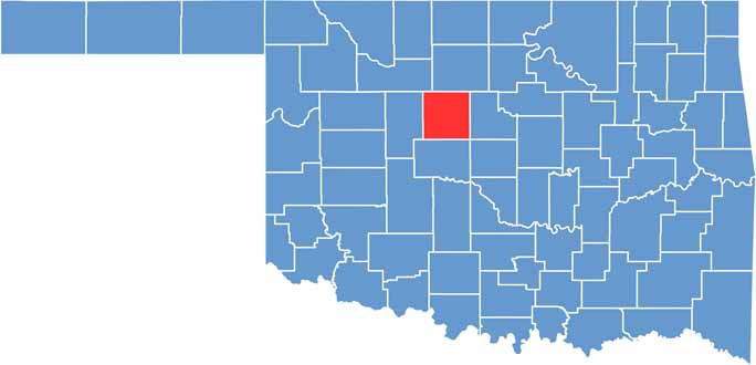

Location map of Kingfisher County, Oklahoma
CategoryDetails
County NameKingfisher County
County SeatKingfisher
EtymologyNamed after the town of Kingfisher, which was named for the Kingfisher Creek
Cities, Towns, and CommunitiesKingfisher, Hennessey, Dover, Okarche, Cashion, Loyal, Omega, Lacey
Interstates and HighwaysU.S. Highway 81, State Highway 3, State Highway 33
FIPS Code40-073
Total Area (Land and Water)906 square miles (898 sq mi land, 8 sq mi water)
Adjacent Counties (and Direction)Garfield County (North), Logan County (East), Canadian County (South), Blaine County (West), Major County (Northwest), Oklahoma County (Southeast)
Time ZoneCentral Time Zone (CST)
StateOklahoma
Coordinates35°51'N, 97°56'W
Major LandmarksChisholm Trail Museum, Seay Mansion, Kingfisher Park
PopulationApproximately 16,000
Scroll to Top