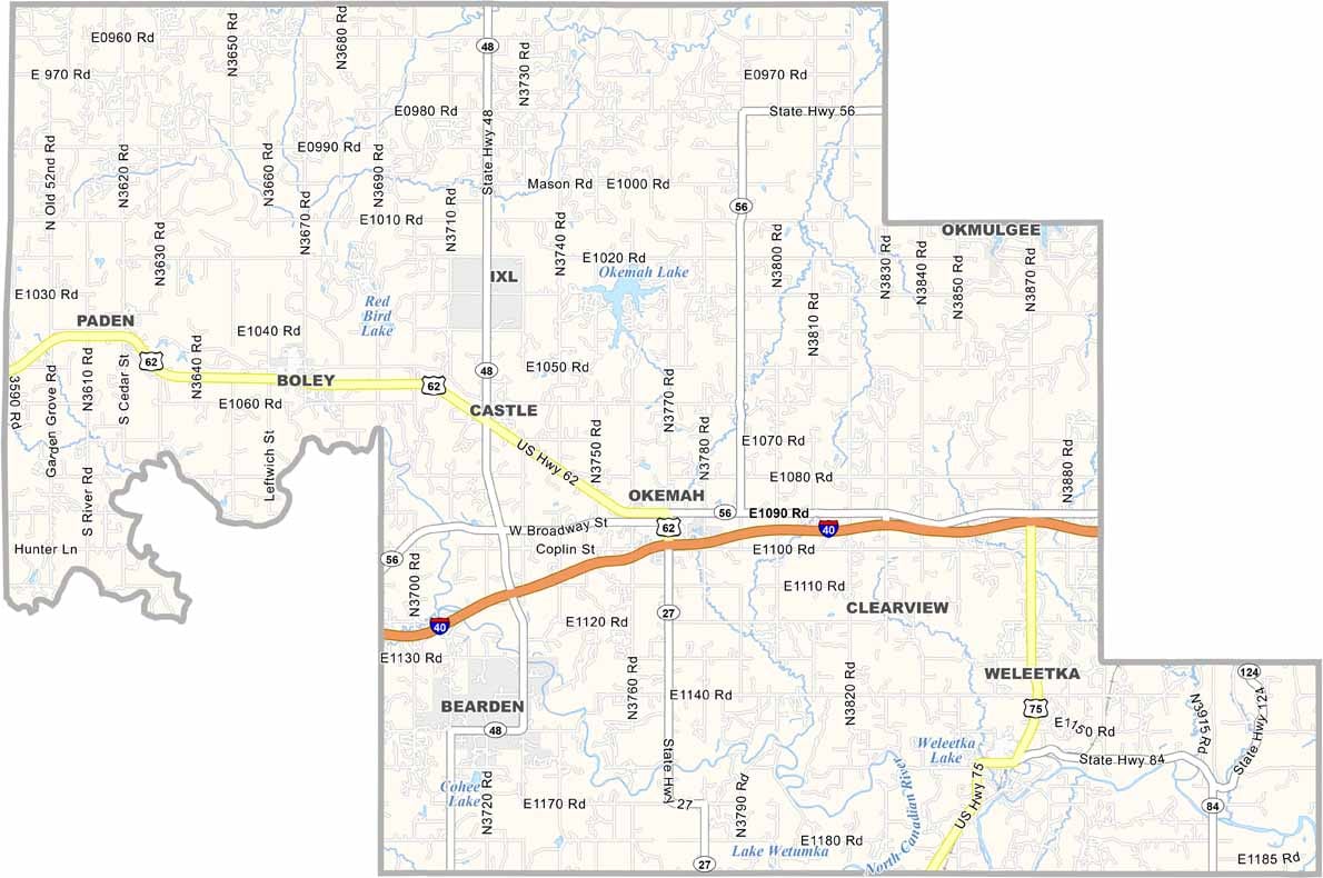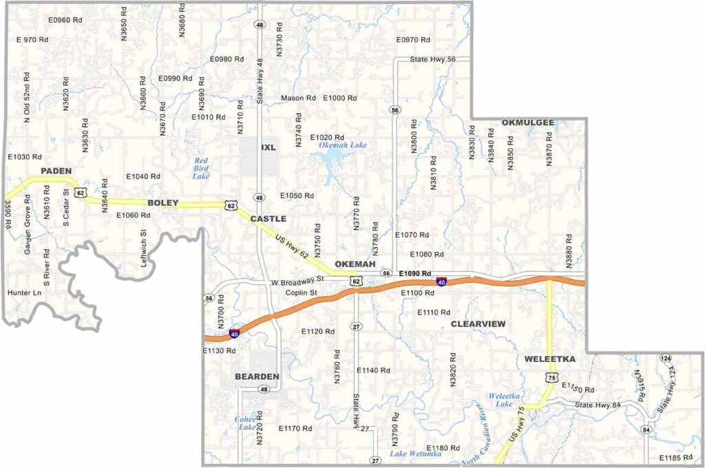
Okfuskee County Map, Oklahoma

Okfuskee County, Oklahoma

Okfuskee County is right in the heart of Oklahoma. It's named after a Creek Indian town. Woody Guthrie, the famous folk singer, was born here in Okemah, the county seat.

The county has seen its share of ups and downs, with oil booms and busts shaping its history. Today, it's mostly rural, and agriculture is the backbone of the local economy.

The North Canadian River cuts through the county, making it a favorite spot for fishing and kayaking. The annual Woody Guthrie Folk Festival also draws music lovers from all over.
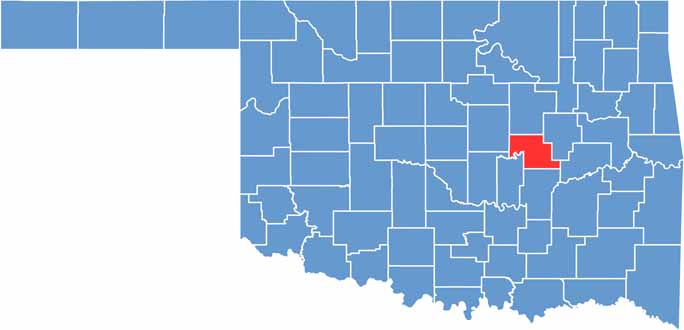

Location map of Okfuskee County, Oklahoma
CategoryDetails
County NameOkfuskee County
County SeatOkemah
EtymologyNamed after a Muscogee (Creek) tribe town
Cities, Towns, and CommunitiesOkemah, Paden, Weleetka, Boley, Clearview, Castle
Interstates and HighwaysInterstate 40, U.S. Highway 62, U.S. Highway 75, State Highway 27
FIPS Code40-107
Total Area (Land and Water)629 square miles (619 sq mi land, 10 sq mi water)
Adjacent Counties (and Direction)Creek County (North), Okmulgee County (East), McIntosh County (Southeast), Hughes County (South), Seminole County (Southwest), Pottawatomie County (Southwest), Lincoln County (West)
Time ZoneCentral Time Zone (CST)
StateOklahoma
Coordinates35°29'N, 96°20'W
Major LandmarksWoody Guthrie Statue and Murals, Okfuskee County Historical Society Museum, Okemah Lake
PopulationApproximately 11,000
Scroll to Top