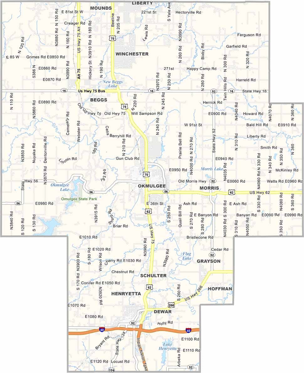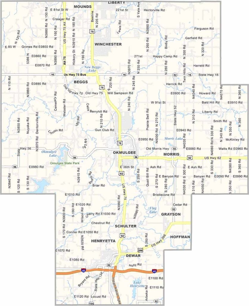
Okmulgee County Map, Oklahoma

Okmulgee County, Oklahoma

Okmulgee County lies in east-central Oklahoma. It was once the capital of the Creek Nation, and that history is still alive here. The county seat, Okmulgee, has some impressive Art Deco architecture that's worth a look.

Deep Creek runs through Okmulgee County, carving out beautiful scenery. Pecan orchards are common here, and the locals are proud of their annual Pecan Festival.

Oil played a big role in the county's past. These days, it's more about agriculture and small businesses. Lake Okmulgee and the surrounding state park are favorite spots for fishing and camping.
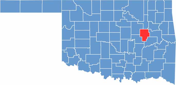

Location map of Okmulgee County, Oklahoma
CategoryDetails
County NameOkmulgee County
County SeatOkmulgee
EtymologyNamed after a Muscogee (Creek) town, meaning "boiling water"
Cities, Towns, and CommunitiesOkmulgee, Henryetta, Beggs, Morris, Dewar, Grayson, Hoffman
Interstates and HighwaysU.S. Highway 75, U.S. Highway 62, U.S. Highway 266, State Highway 16
FIPS Code40-111
Total Area (Land and Water)702 square miles (697 sq mi land, 5 sq mi water)
Adjacent Counties (and Direction)Tulsa County (North), Wagoner County (Northeast), Muskogee County (East), McIntosh County (Southeast), Okfuskee County (Southwest), Creek County (Northwest)
Time ZoneCentral Time Zone (CST)
StateOklahoma
Coordinates35°37'N, 95°58'W
Major LandmarksOkmulgee Lake and Park, Creek Council House Museum, Dripping Springs State Park
PopulationApproximately 36,000
Scroll to Top