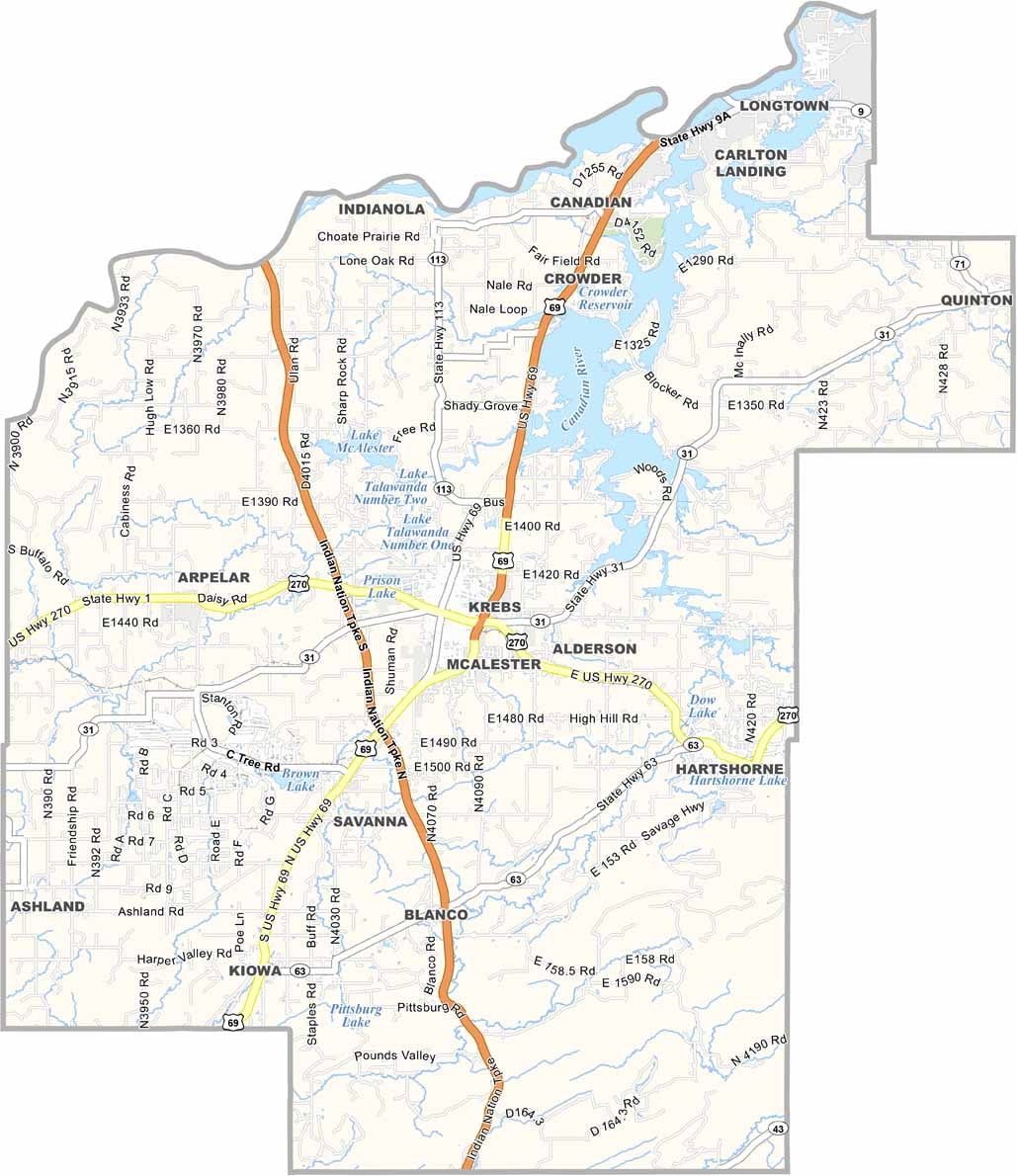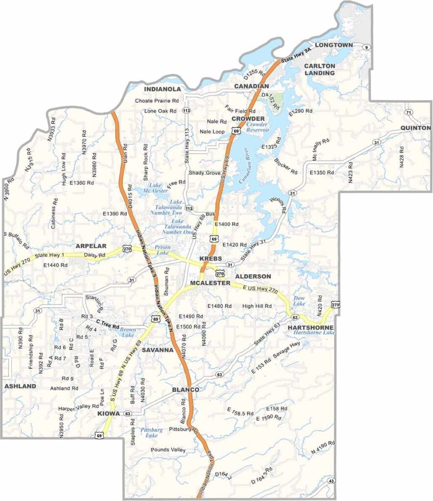
Pittsburg County Map, Oklahoma

Pittsburg County, Oklahoma

Pittsburg County sits in southeastern Oklahoma, with rolling hills and dense forests covering much of the area. At more than 1,300 square miles, it’s one of the state’s largest counties.

McAlester, the county seat, has a rich history connected to coal mining. In fact, the area was once known as the “Coal Capital of Oklahoma.”

The landscape combines prairies and woodlands, while Lake Eufaula provides plenty of opportunities for fishing and boating. Arrowhead State Park is popular with golfers and hikers. And if prisons happen to interest you, the Oklahoma State Penitentiary is located here.
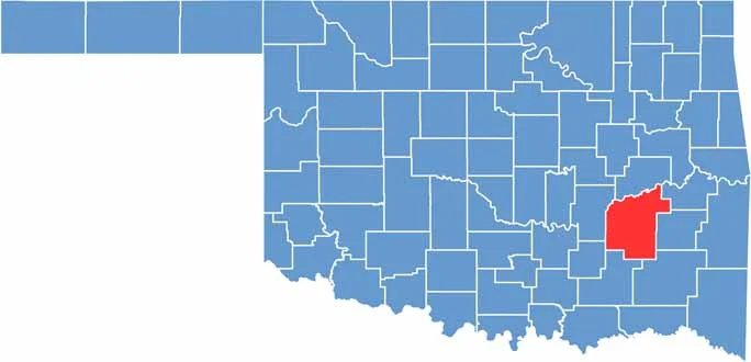

Location map of Pittsburg County, Oklahoma
CategoryDetails
County NamePittsburg County
County SeatMcAlester
EtymologyNamed after Pittsburgh, Pennsylvania
Cities, Towns, and CommunitiesMcAlester, Krebs, Hartshorne, Quinton, Kiowa, Savanna, Haileyville, Canadian
Interstates and HighwaysU.S. Highway 69, U.S. Highway 270, State Highway 31, State Highway 1
FIPS Code40-121
Total Area (Land and Water)1,378 square miles (1,305 sq mi land, 73 sq mi water)
Adjacent Counties (and Direction)McIntosh County (North), Haskell County (Northeast), Latimer County (East), Pushmataha County (Southeast), Atoka County (South), Coal County (Southwest), Hughes County (West)
Time ZoneCentral Time Zone (CST)
StateOklahoma
Coordinates34°56’N, 95°41’W
Major LandmarksArrowhead State Park, Eufaula Lake, McAlester Army Ammunition Plant, Pittsburg County Courthouse
PopulationApproximately 44,000
Scroll to Top