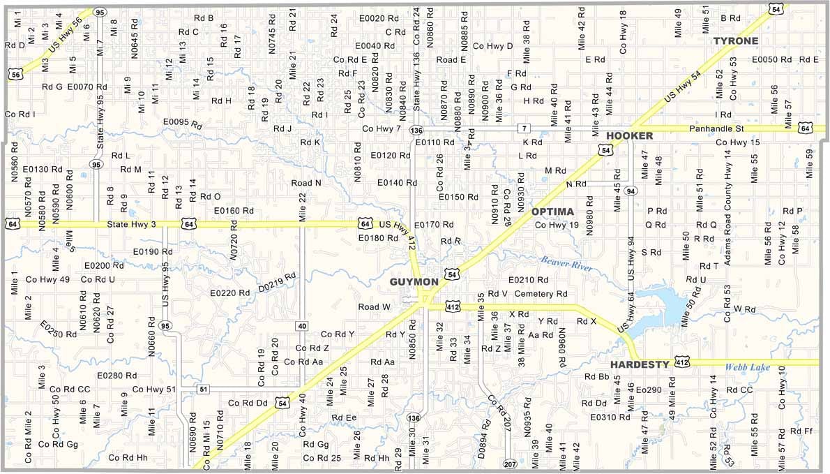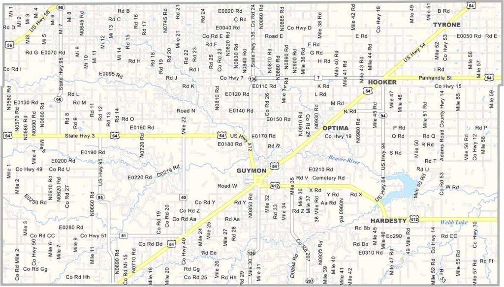
Texas County Map, Oklahoma

Texas County, Oklahoma

Texas County sits in the Oklahoma Panhandle. You won’t have to guess which state it borders—Texas lies to the south, while Kansas is to the north and Colorado is to the northwest.

Guymon serves as the county seat and is the only major city in the area. The local economy revolves around agriculture and energy, with wheat fields and wind turbines spread across the landscape. The climate is extremely dry, but heavy rain can bring flash flooding.

The county is huge and ranks among the largest counties in Oklahoma. Crossing it by car can take a while. Winters bring blizzards across the plains, while summers are hot and windy. Despite the harsh conditions, the people here are known for being tough and friendly.
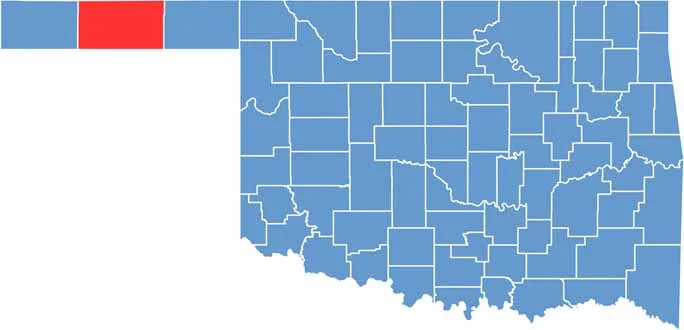

Location map of Texas County, Oklahoma
CategoryDetails
County NameTexas County
County SeatGuymon
EtymologyNamed after the state of Texas
Cities, Towns, and CommunitiesGuymon, Hooker, Goodwell, Tyrone, Hardesty, Optima, Texhoma
Interstates and HighwaysU.S. Highway 54, U.S. Highway 64, U.S. Highway 412, State Highway 3
FIPS Code40-139
Total Area (Land and Water)2,049 square miles (2,042 sq mi land, 7 sq mi water)
Adjacent Counties (and Direction)Stevens County, Kansas (North), Seward County, Kansas (Northeast), Beaver County (East), Ochiltree County, Texas (Southeast), Hansford County, Texas (South), Sherman County, Texas (Southwest), Cimarron County (West), Morton County, Kansas (Northwest)
Time ZoneCentral Time Zone (CST)
StateOklahoma
Coordinates36°40’N, 101°30’W
Major LandmarksOptima National Wildlife Refuge, No Man’s Land Museum, Lake Carl Etling
PopulationApproximately 21,000
Scroll to Top