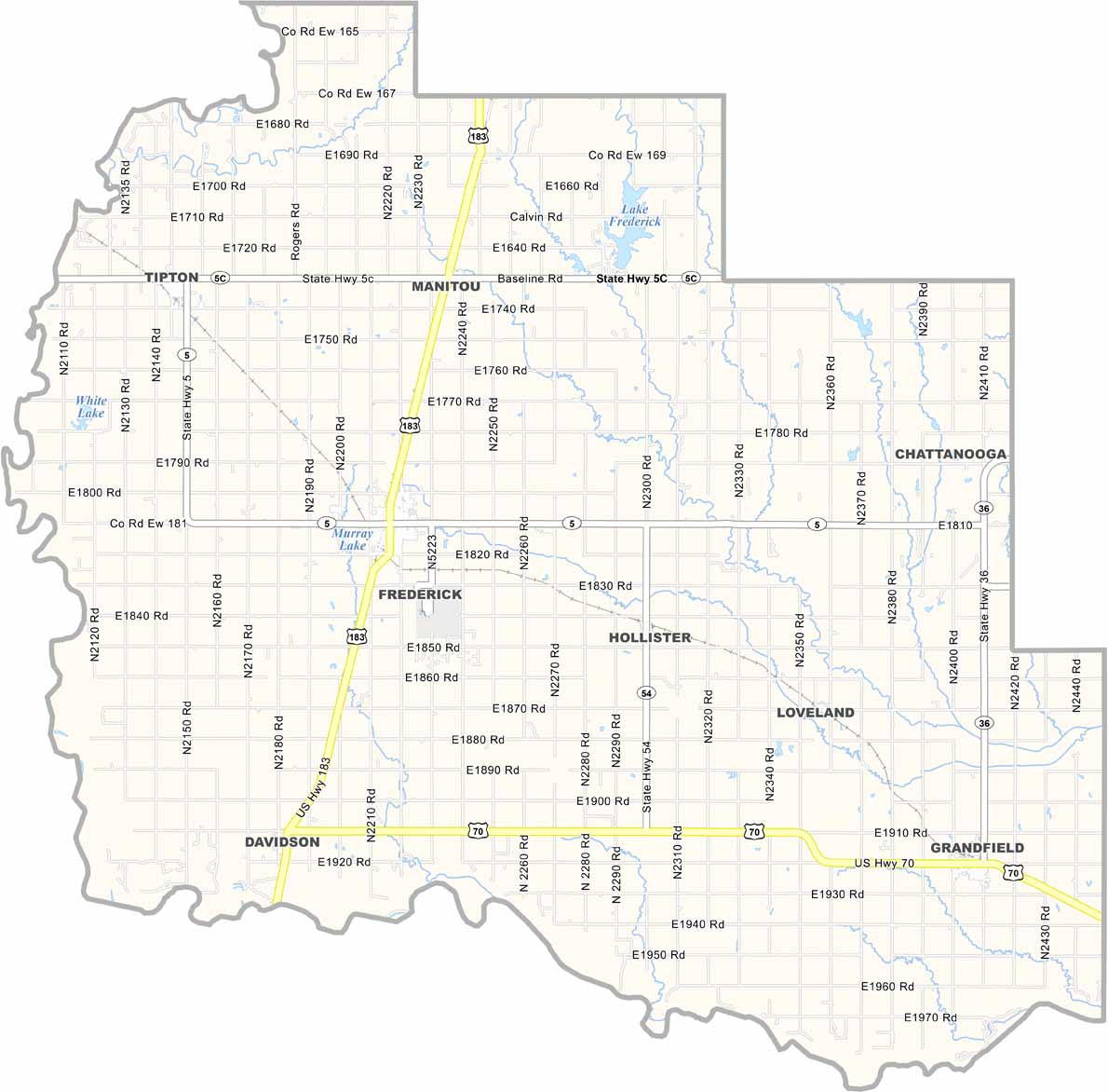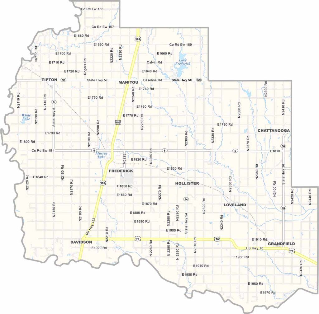
Tillman County Map, Oklahoma

Tillman County, Oklahoma

Tillman County sits in southwestern Oklahoma along the Texas border. It’s largely farm country, with plenty of wheat fields spread across the landscape and cattle grazing on open pastures.

Frederick serves as the county seat and has a classic small-town feel. Red dirt roads wind across the countryside. Summers can be blazing hot, while winters are sometimes surprisingly chilly.

Despite its rural character, Tillman County has a rich history. Native American tribes once traveled these lands. Today, the county blends long-standing traditions with modern agriculture. The Red River forms its southern border with Texas.
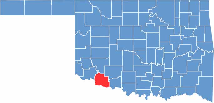

Location map of Tillman County, Oklahoma
CategoryDetails
County NameTillman County
County SeatFrederick
EtymologyNamed after Senator Benjamin R. Tillman of South Carolina
Cities, Towns, and CommunitiesFrederick, Tipton, Grandfield, Davidson, Loveland, Hollister
Interstates and HighwaysU.S. Highway 183, U.S. Highway 70, State Highway 5, State Highway 36
FIPS Code40-141
Total Area (Land and Water)879 square miles (871 sq mi land, 8 sq mi water)
Adjacent Counties (and Direction)Kiowa County (North), Comanche County (Northeast), Cotton County (East), Wichita County, Texas (South), Wilbarger County, Texas (Southwest), Jackson County (Northwest)
Time ZoneCentral Time Zone (CST)
StateOklahoma
Coordinates34°22’N, 98°59’W
Major LandmarksHackberry Flat Wildlife Management Area, Pioneer Townsite Museum, Tillman County Courthouse
PopulationApproximately 7,000
Scroll to Top