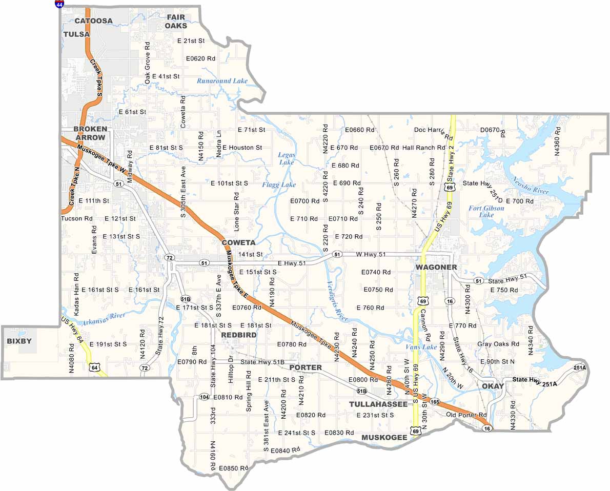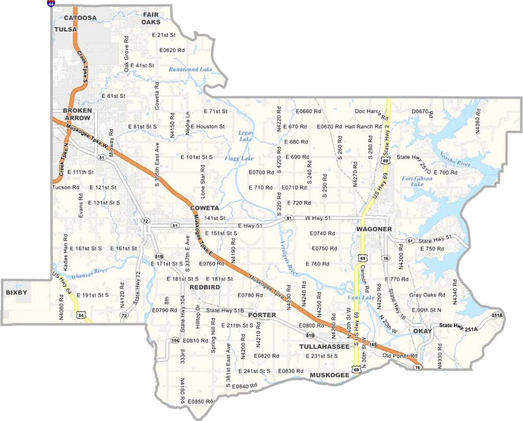
Wagoner County Map, Oklahoma

Wagoner County, Oklahoma

Wagoner County stretches across northeastern Oklahoma, where the prairies meet the foothills of the Ozarks. The county has deep ties to the Cherokee Nation, and that influence is still visible today.

Lake living is at its best here, and Fort Gibson Lake is the largest body of water in the county. Three major rivers also run through the area: the Arkansas River, the Verdigris River, and the Neosho River.

Wagoner is the county seat, while Coweta is growing quickly as Tulsa expands eastward. Agriculture remains important to the local economy, thanks to rich, fertile soil, and pecan orchards dot the countryside. Wagoner County offers a slower pace of life, but it is far from sleepy.
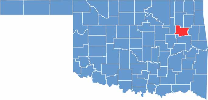

Location map of Wagoner County, Oklahoma
CategoryDetails
County NameWagoner County
County SeatWagoner
EtymologyNamed after Bailey P. Waggoner, attorney of the Missouri Pacific Railroad
Cities, Towns, and CommunitiesWagoner, Coweta, Broken Arrow (partial), Catoosa (partial), Porter, Redbird
Interstates and HighwaysU.S. Highway 69, State Highway 51, State Highway 72, State Highway 16
FIPS Code40-145
Total Area (Land and Water)591 square miles (562 sq mi land, 29 sq mi water)
Adjacent Counties (and Direction)Rogers County (Northwest), Mayes County (Northeast), Cherokee County (East), Muskogee County (South), Tulsa County (West)
Time ZoneCentral Time Zone (CST)
StateOklahoma
Coordinates35°57’N, 95°22’W
Major LandmarksFort Gibson Lake, Sequoyah State Park, Whitehorn Cove, Hefner Mansion
PopulationApproximately 85,000
Scroll to Top