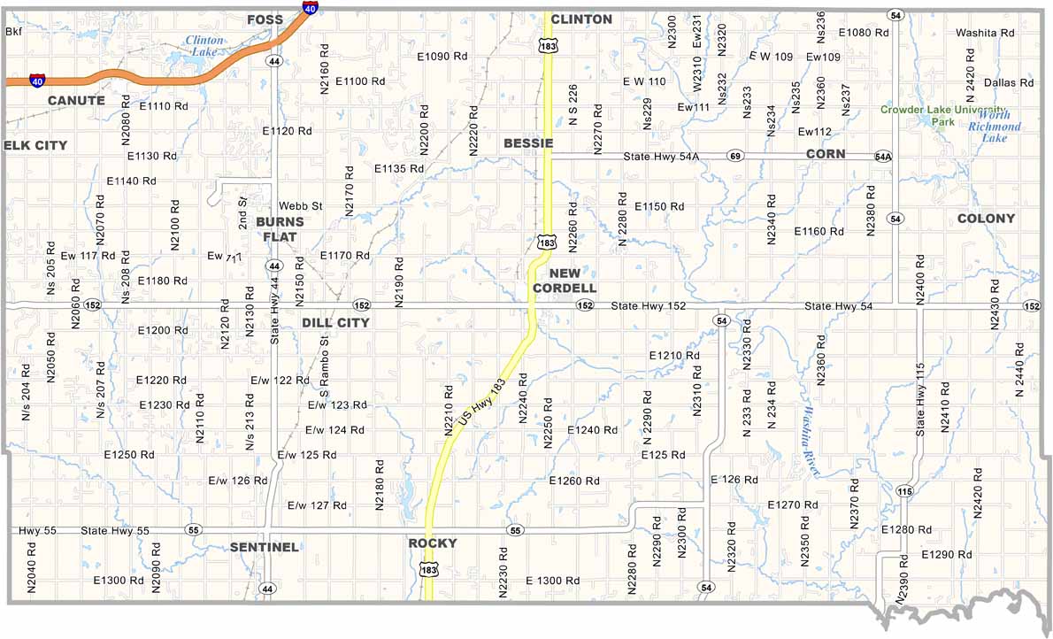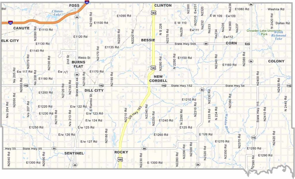
Washita County Map, Oklahoma

Washita County, Oklahoma

Western Oklahoma's Washita County is cattle country, pure and simple, dominated by wide open spaces. New Cordell, the county seat, has barely 3,000 residents.

There is more here than first appears. Green spaces are not plentiful, but Crowder Lake University Park offers canoeing and picnic areas.

Agriculture drives the local economy, with wheat and cotton as the main cash crops. Oil and gas production has picked up in recent years. Washita County embraces its rural roots while keeping an eye on the future.
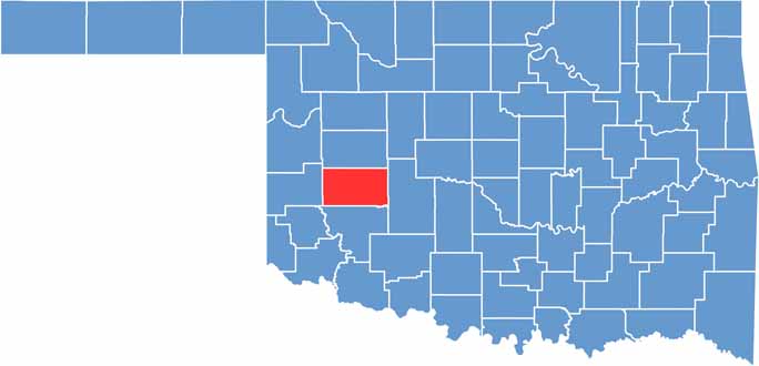

Location map of Washita County, Oklahoma
CategoryDetails
County NameWashita County
County SeatCordell
EtymologyNamed after the Washita River that flows through the county
Cities, Towns, and CommunitiesCordell, Burns Flat, Sentinel, Dill City, Rocky, Corn
Interstates and HighwaysU.S. Highway 183, State Highway 44, State Highway 55
FIPS Code40-149
Total Area (Land and Water)1,009 square miles (1,003 sq mi land, 6 sq mi water)
Adjacent Counties (and Direction)Custer County (North), Caddo County (East), Kiowa County (South), Beckham County (West)
Time ZoneCentral Time Zone (CST)
StateOklahoma
Coordinates35°17’N, 99°00’W
Major LandmarksFoss State Park, Great Plains State Park, Washita Battlefield National Historic Site
PopulationApproximately 11,000
Scroll to Top