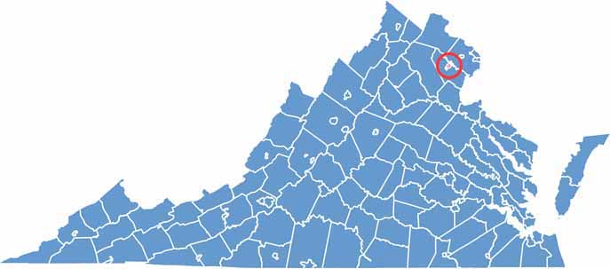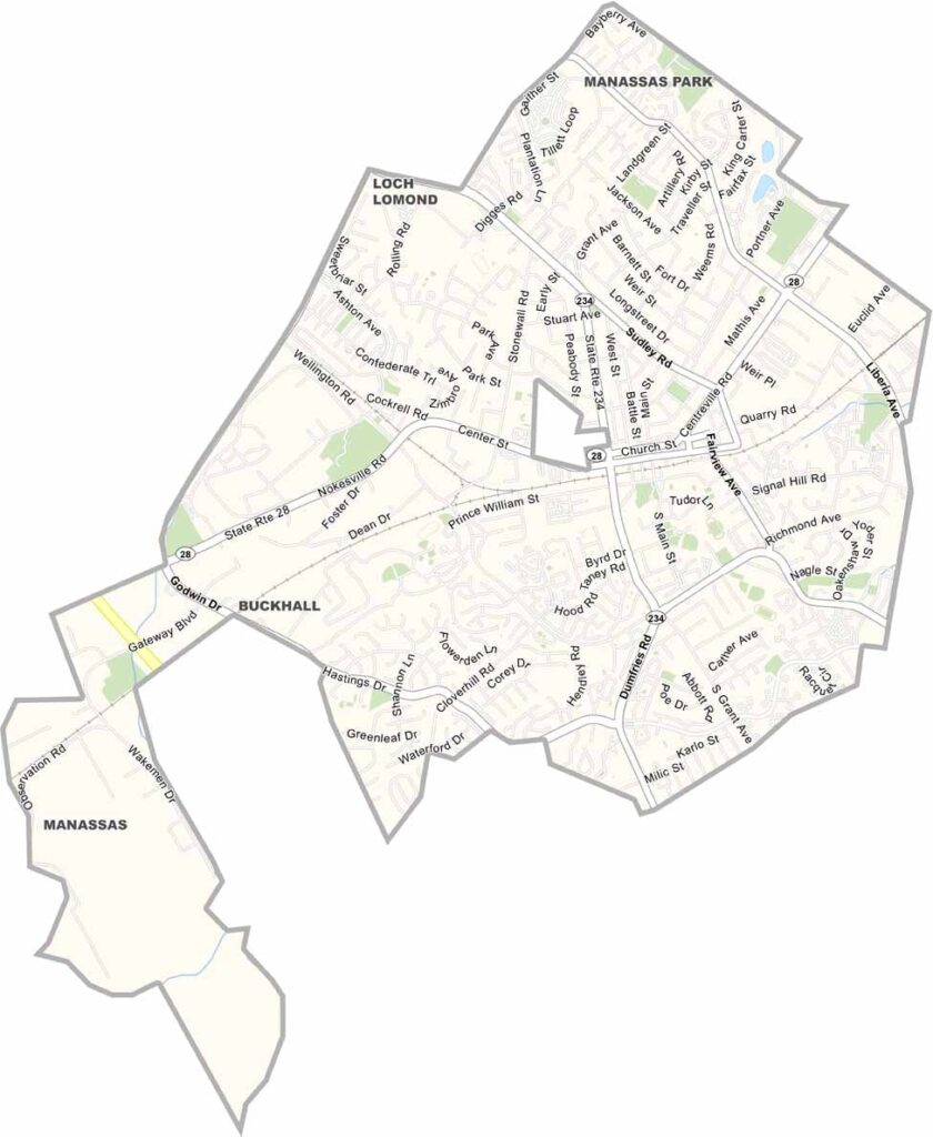
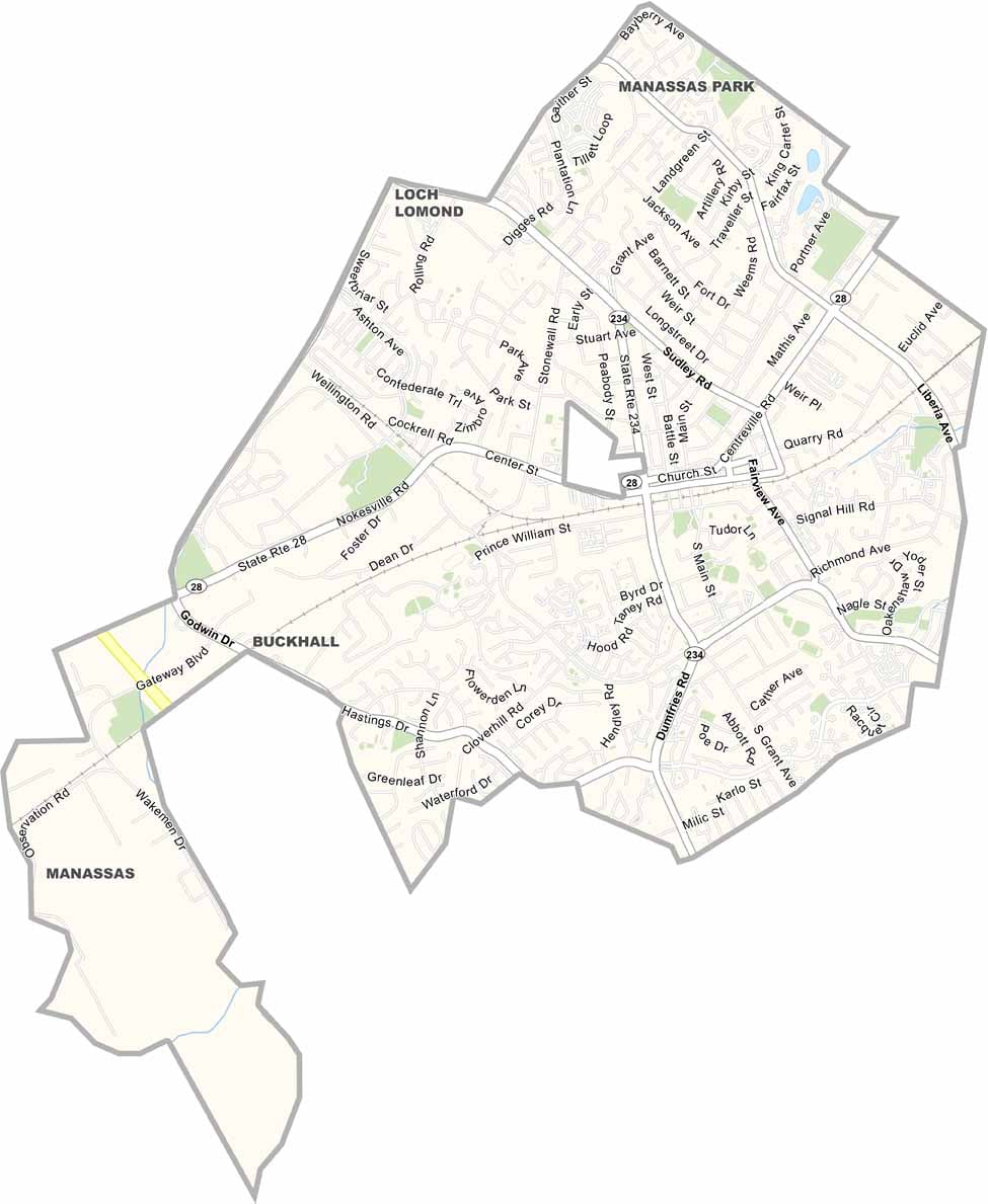
Manassas is an independent city in Northern Virginia, located about 30 miles southwest of Washington, D.C., in the Piedmont region. Its convenient location provides easy access to major highways and makes it an important community within the Washington metropolitan area.
The city covers roughly 9.5 square miles and is completely surrounded by Prince William County. U.S. Route 28 serves as one of its main transportation routes, connecting Manassas with nearby communities and major roadways.
Manassas is especially well known for its Civil War history. The First and Second Battles of Bull Run were fought nearby, and the Manassas National Battlefield Park preserves these important historic sites.