
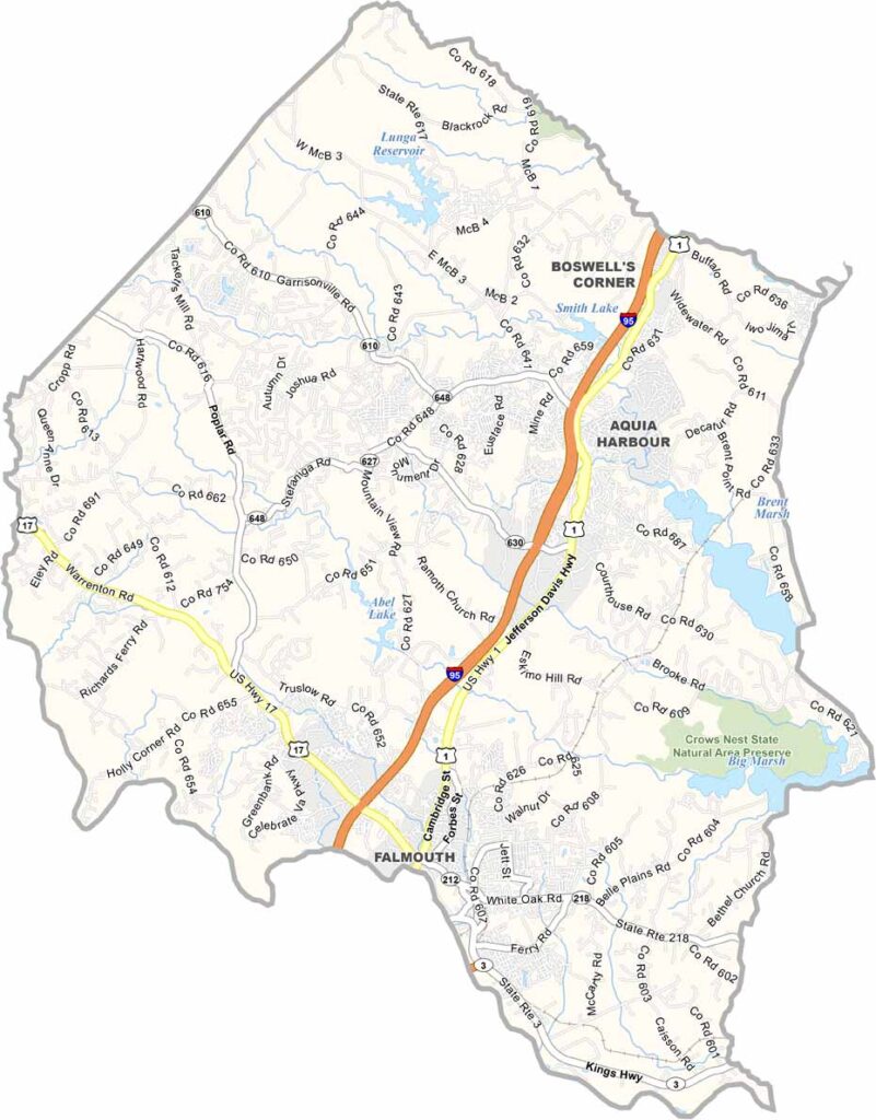
Stafford County is located just south of Washington, D.C. It dates back to 1664, making it one of Virginia’s oldest counties. The Potomac and Rappahannock Rivers border the county.
History buffs will appreciate that George Washington grew up at Ferry Farm in Stafford. The county is growing quickly, with new developments appearing throughout the area. Even so, there are still plenty of open spaces and parks to enjoy.History buffs will appreciate that George Washington grew up at Ferry Farm in Stafford. The county is growing quickly, with new developments appearing throughout the area. Even so, there are still plenty of open spaces and parks to enjoy.
Stafford serves as the county seat and a hub of activity. Its location offers easy access to D.C., making commuting convenient while still providing enough distance to escape the city’s hustle and bustle. The people here are friendly and down-to-earth. If you’re a craft beer fan, check out the local breweries, which are making quite a name for themselves.
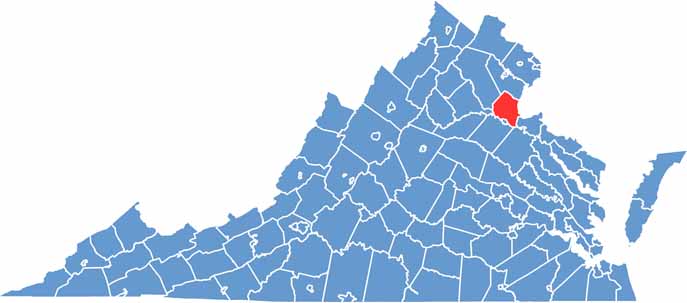
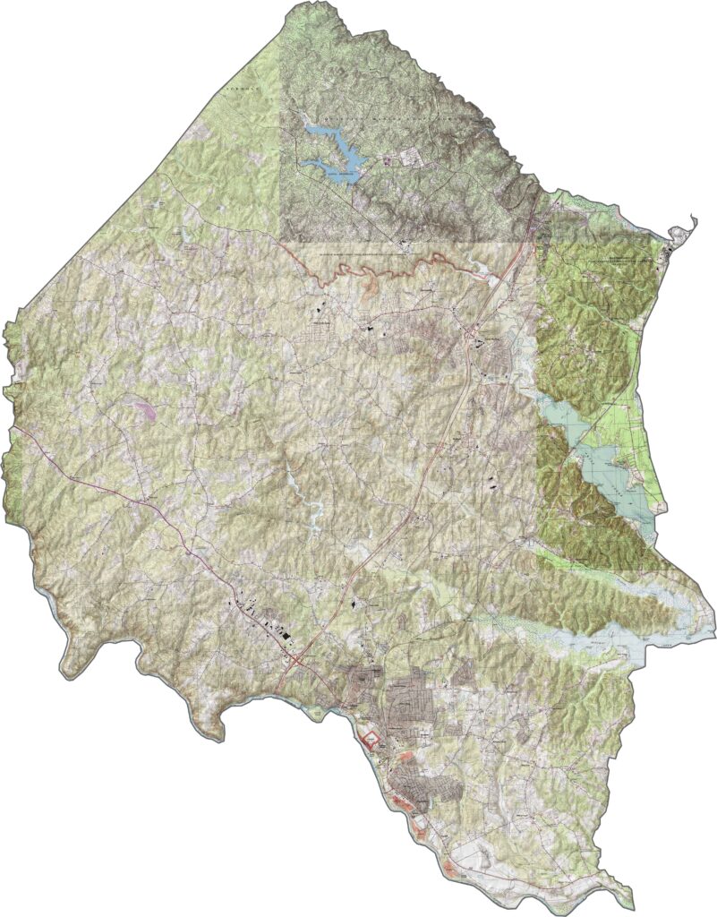
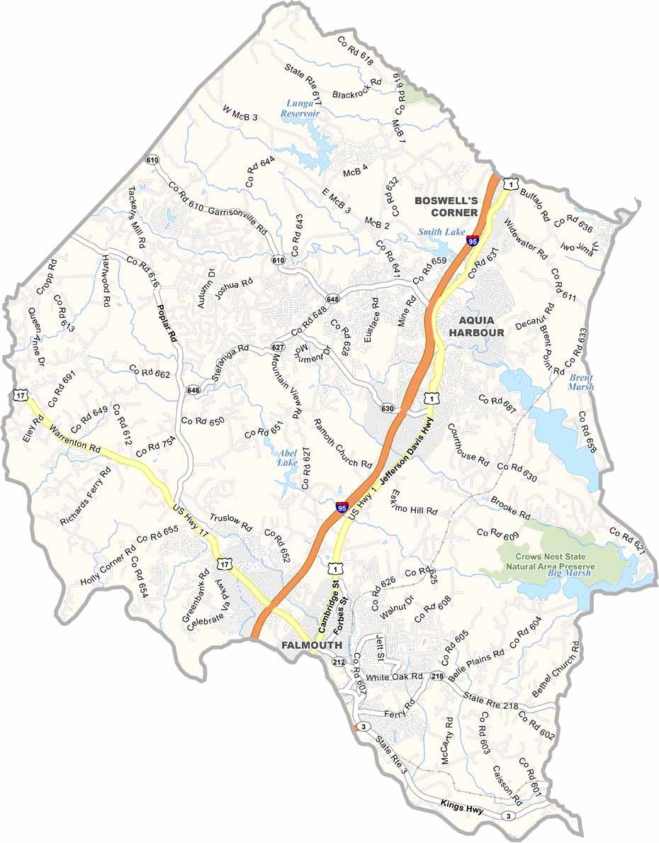
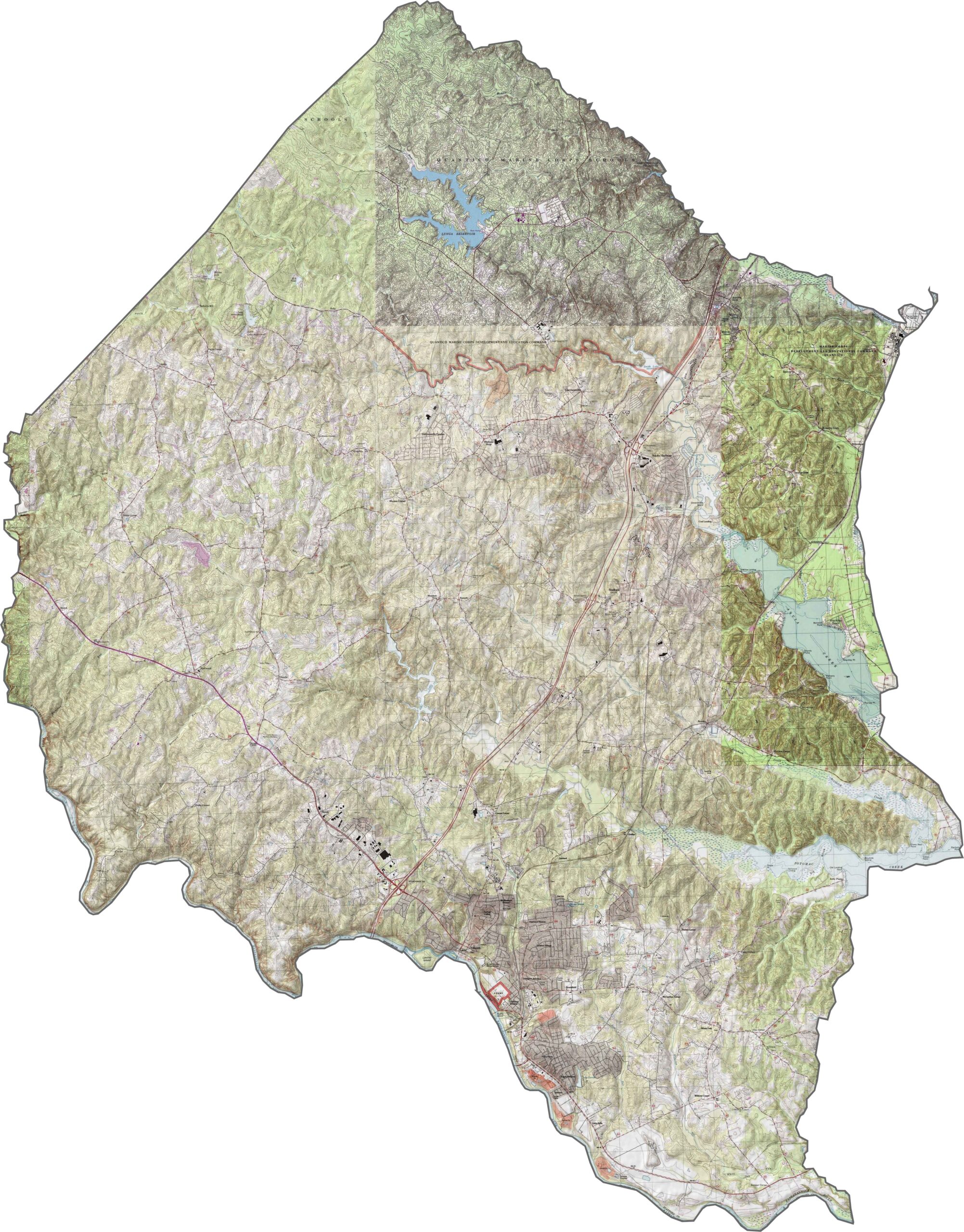
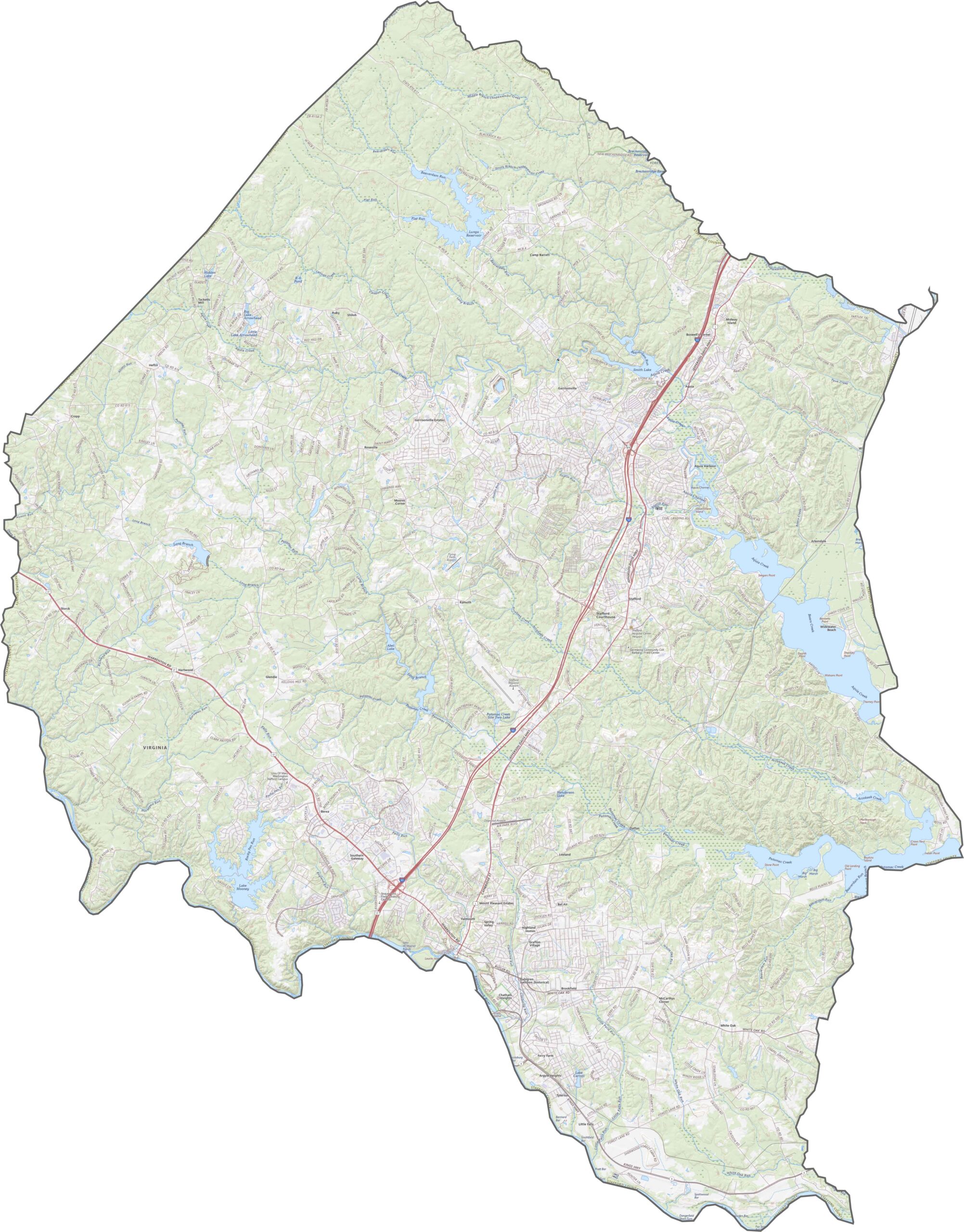
Stafford County gradually slopes toward the Potomac River. The terrain is mostly low and rolling, with shallow ridges and broad creeks. Aquia Creek is a notable feature, winding through the county before reaching the river. Lunga Reservoir also stands out in the north-central part of the county.
Interstate 95 runs directly through Stafford County. Smaller highways branch off from this main corridor, with some heading toward the Potomac and others winding through wooded areas. Our zoom tool provides a clear view of everything from interchanges to back roads.
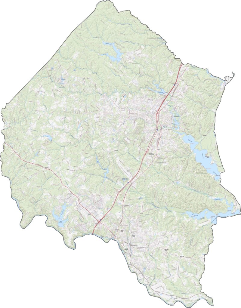
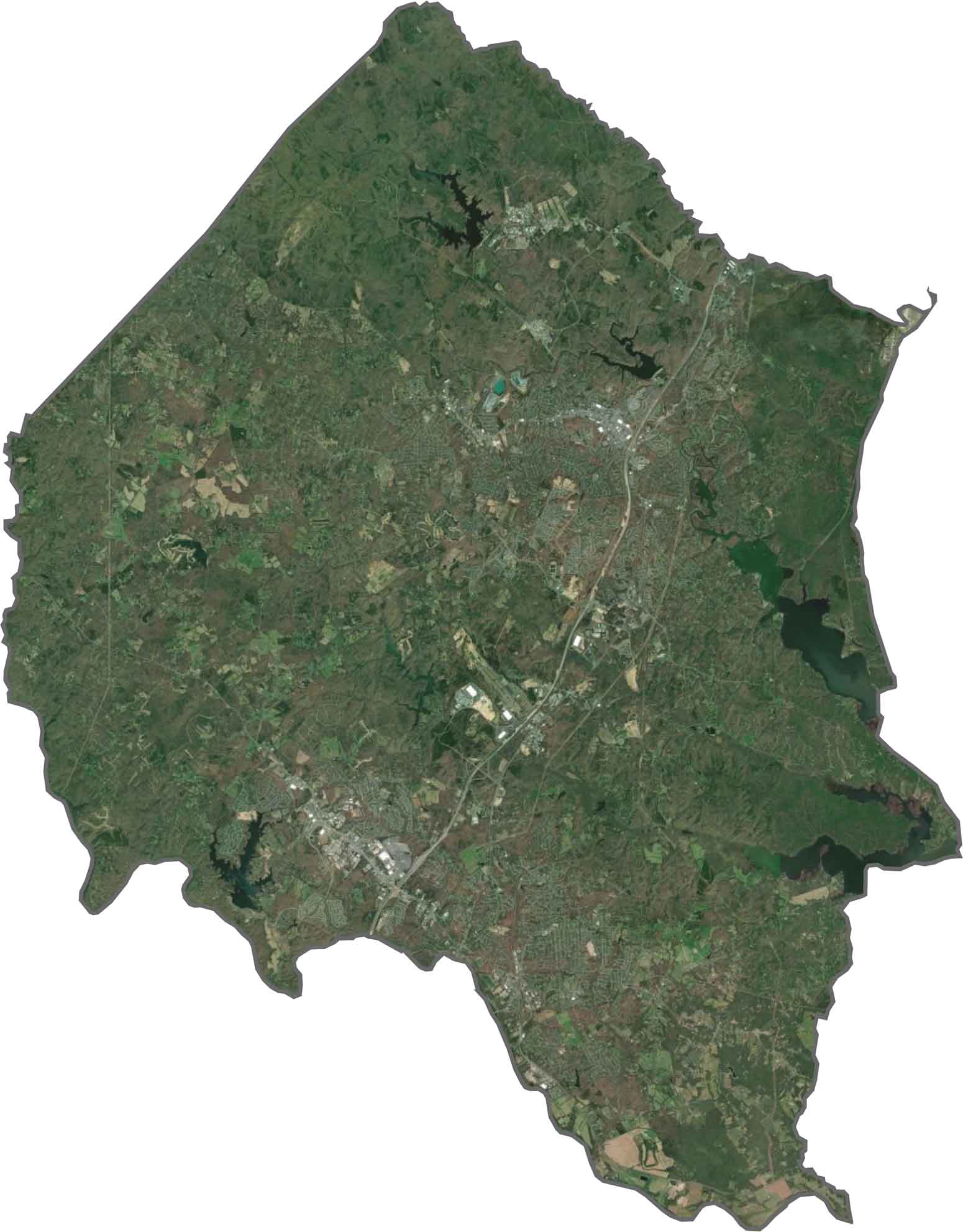
Stafford County combines suburban development with large areas of forest. Major subdivisions are concentrated near I-95, while thick wooded patches remain between them. The Potomac River forms the eastern edge, with creeks and small lakes adding blue across the landscape.
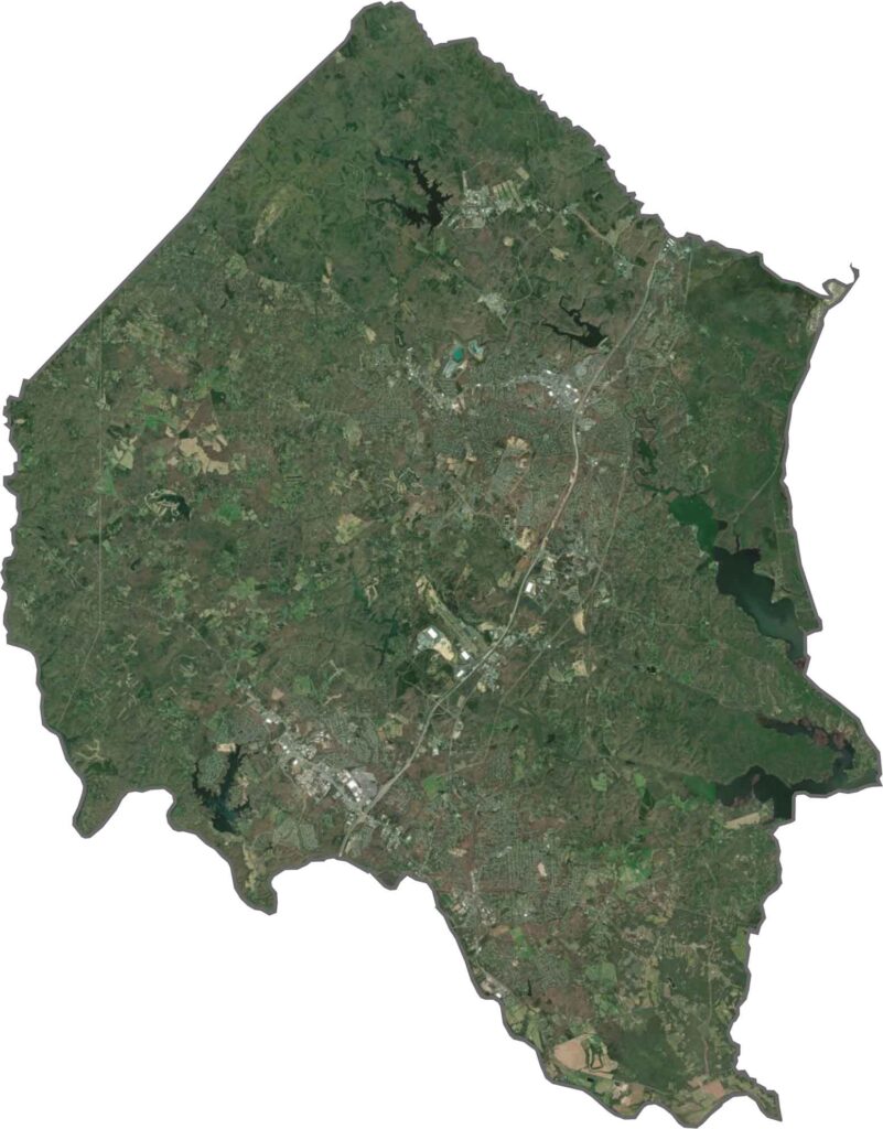
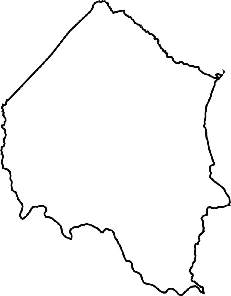
Stafford County has a broad, slightly jagged outline. It stretches east to the Potomac River, which forms a natural border with Maryland. The river curves sharply along the edge, giving Stafford County its distinctive eastern boundary.


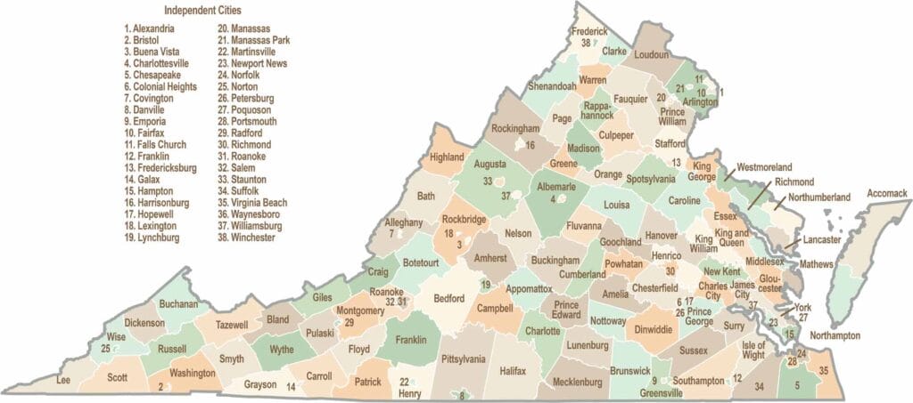
Virginia’s 95 counties bring together old-school roots, winding mountain roads, and Civil War history. One county is known for peanuts, another for presidents. Some feel distinctly rural, while others sit closer to the action around the nation’s capital.