
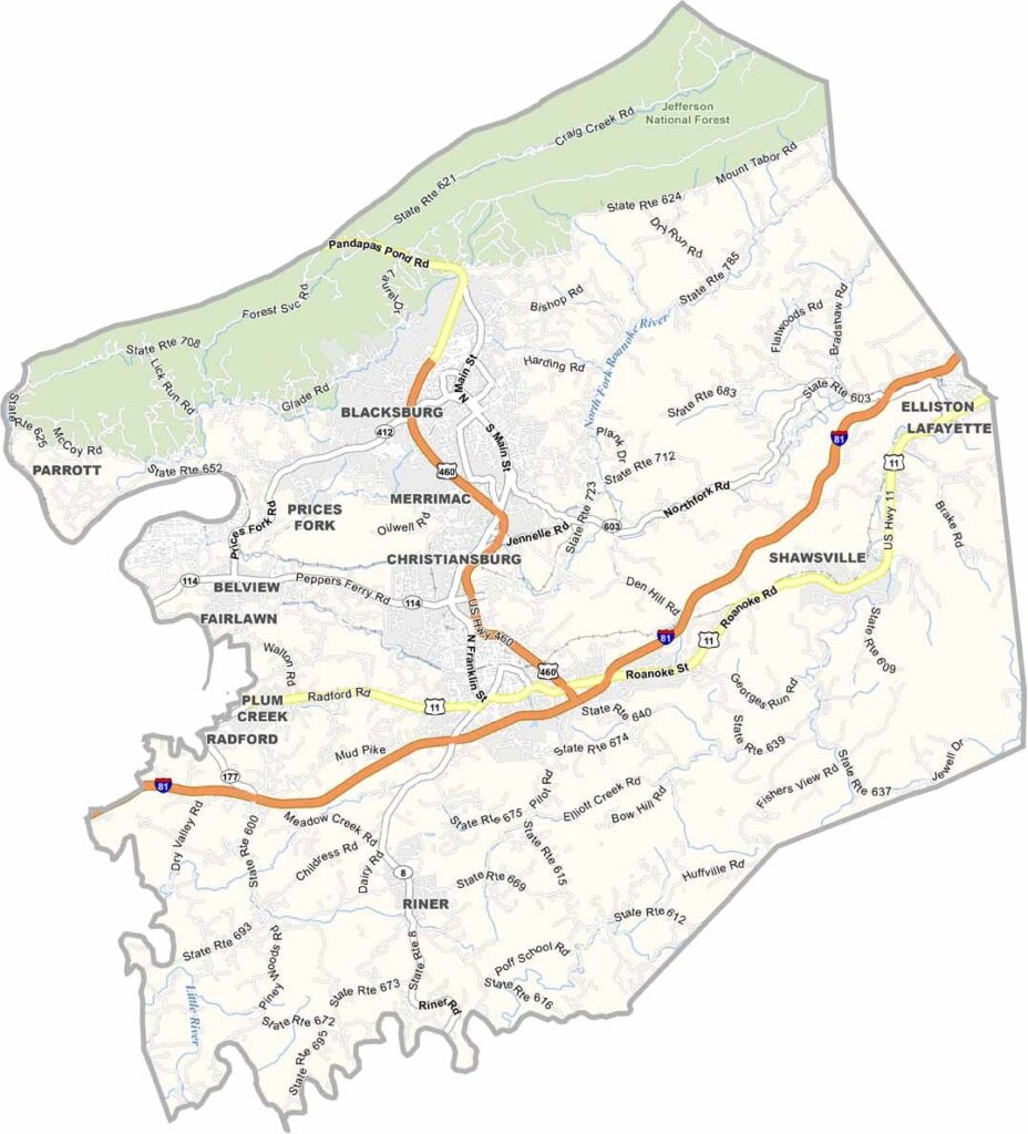
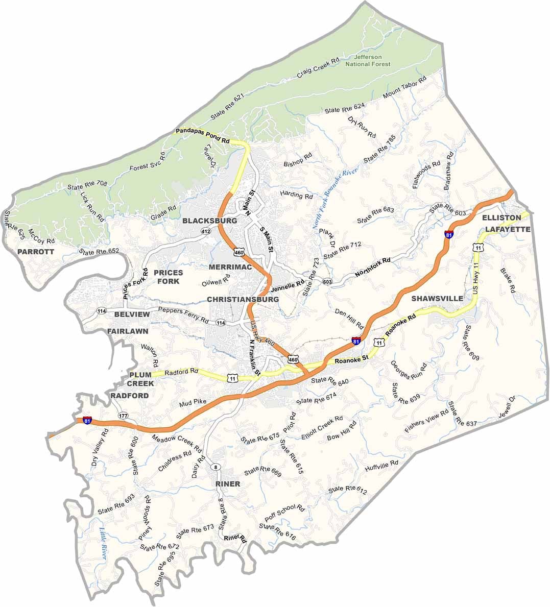
Montgomery County sits in the heart of Southwest Virginia’s New River Valley. It’s a place where old and new come together in some surprising ways. Blacksburg is home to Virginia Tech, giving the college town plenty of energy and a strong focus on innovation.
Just down the road, Christiansburg offers small-town charm with a touch of modern life. Despite its name, the New River is actually one of the oldest rivers in the United States. It runs through the county, providing great spots for fishing and kayaking.
History runs deep here, with the county playing a role in both the Revolutionary and Civil Wars. These days, it’s better known for high-tech research than battlefields. The mix of rural scenery and academic energy makes Montgomery County an interesting place.
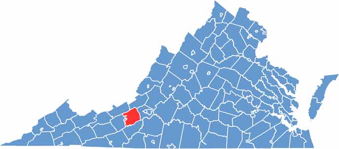
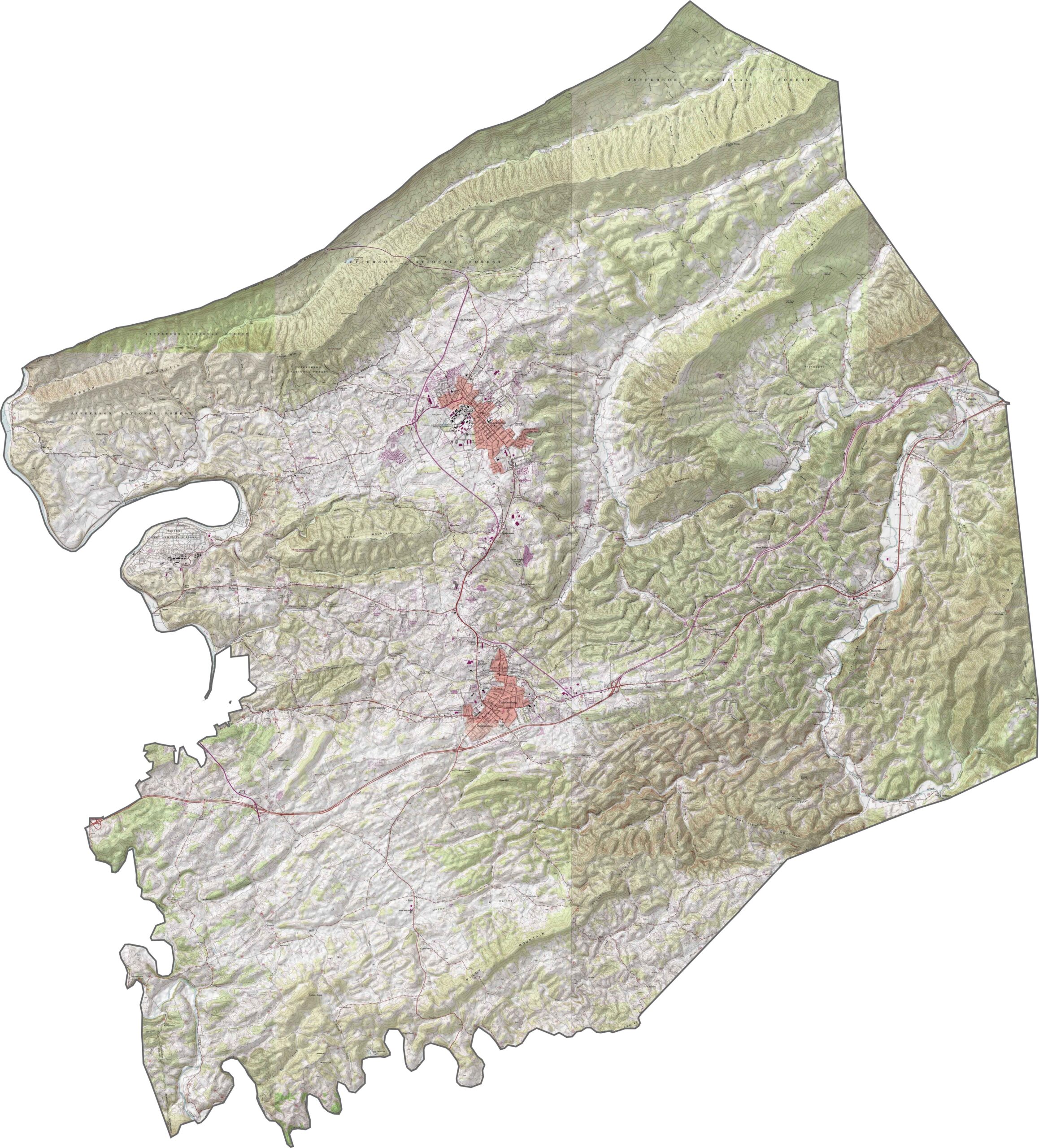
Montgomery County sits in the Appalachian highlands, where the terrain rises and falls across long mountain ridges. The Brush Mountain–Price Mountain ridge is one of the area’s defining features. Use our zoom tool below to explore the terrain in greater detail.
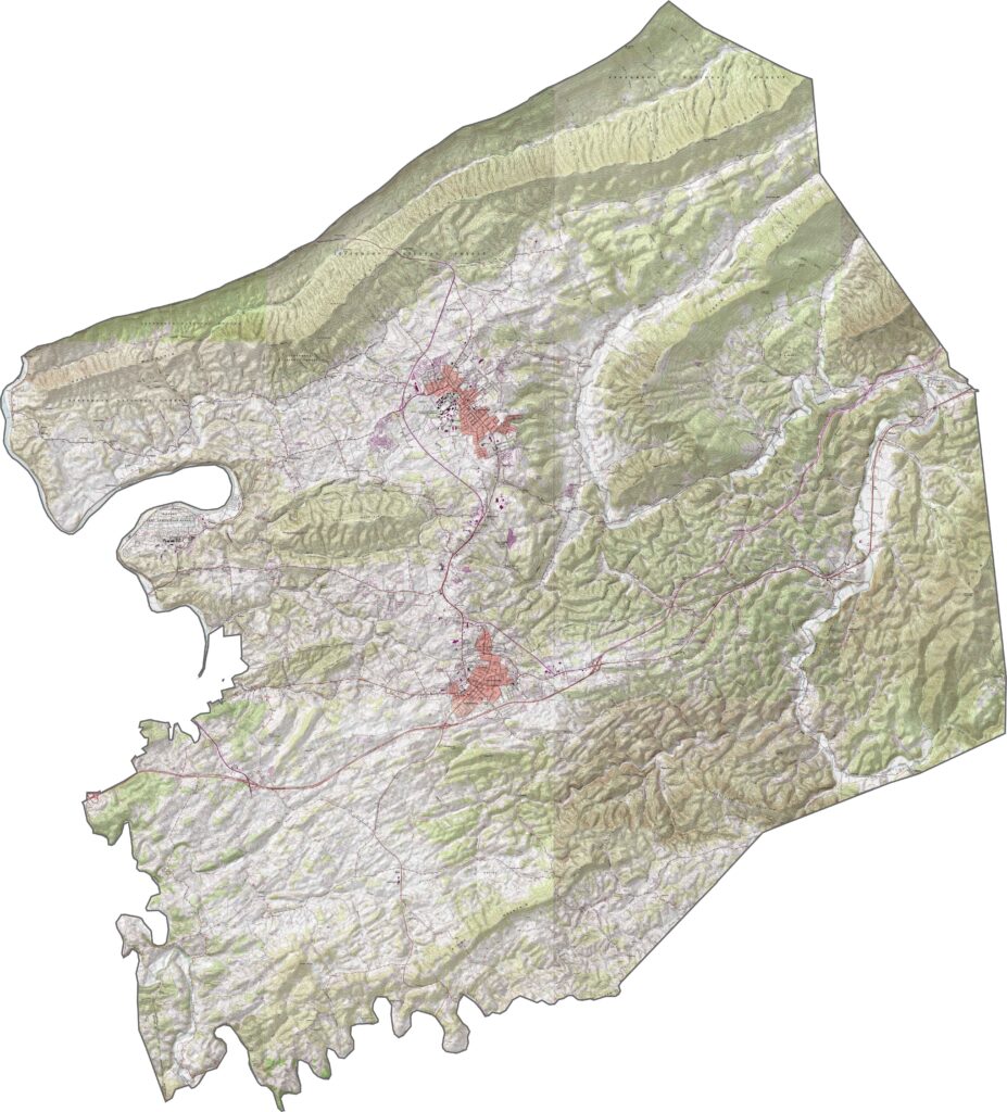
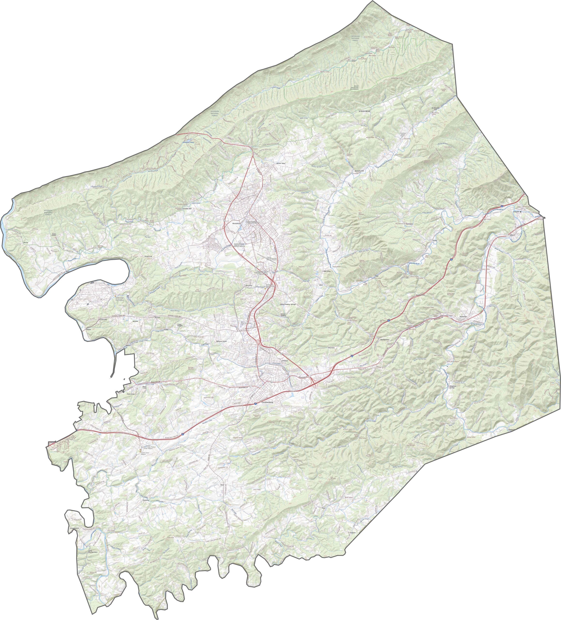
Despite the mountainous terrain, major roads are an important part of Montgomery County. Interstate 81 follows the valley floor, curving through the New River Valley. Use our map below to take a closer look at the main routes.
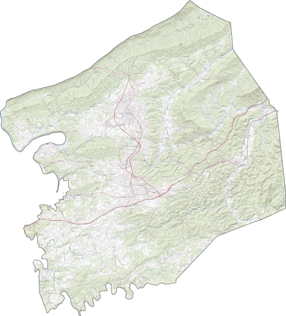
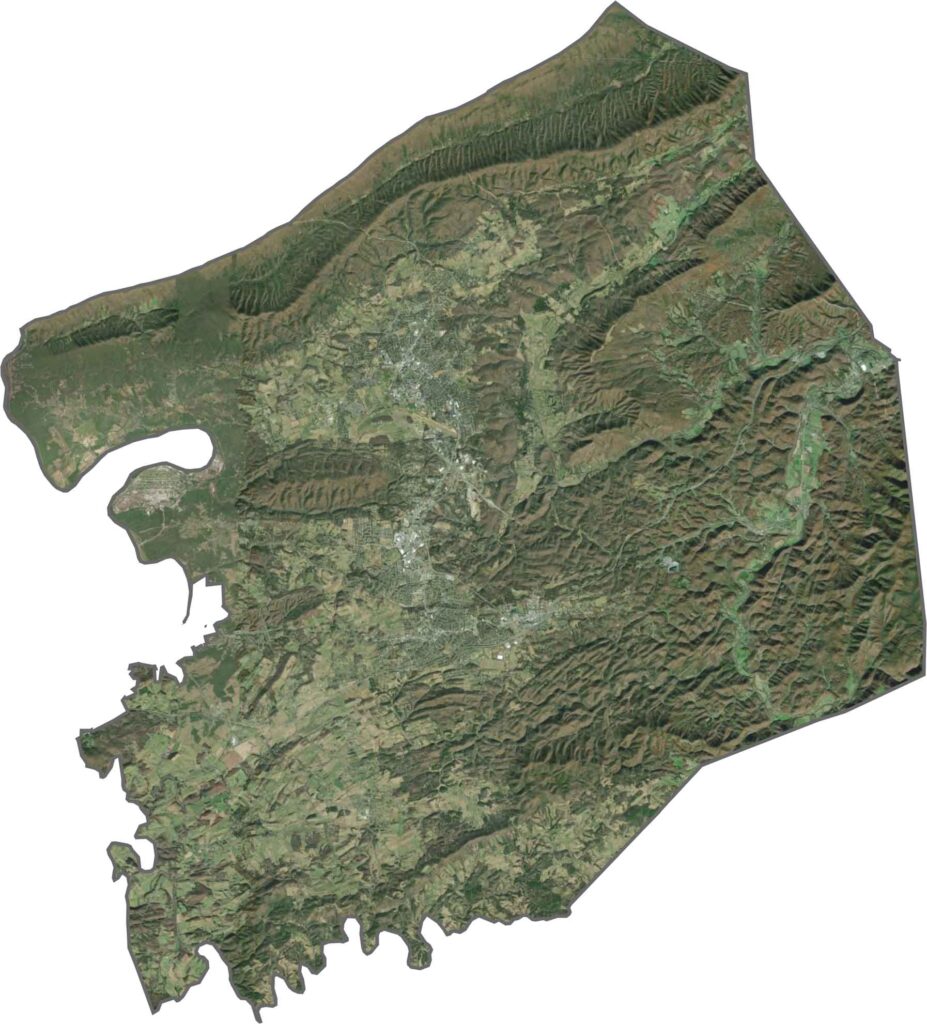
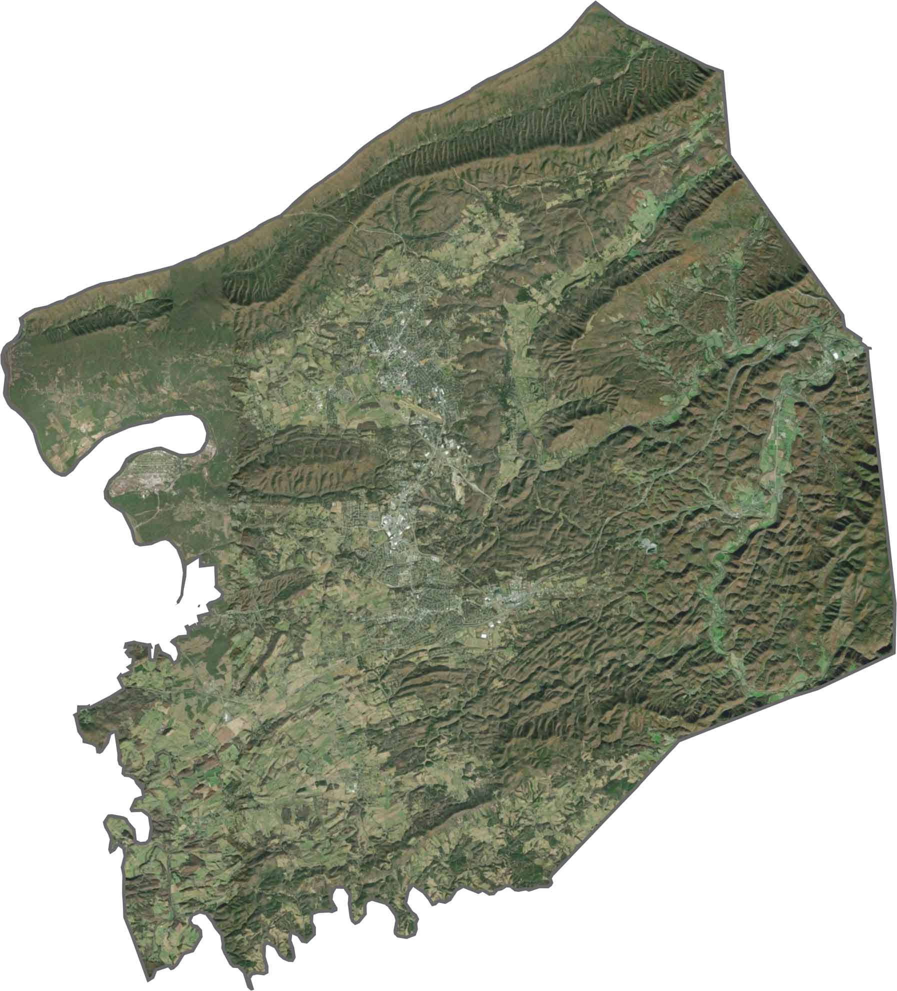
From above, Montgomery County appears heavily covered in green. Forests dominate the landscape, with scattered clearings for farms and communities. Blacksburg stands out with its dense urban core, while much of the surrounding area is made up of hills and wooded terrain.
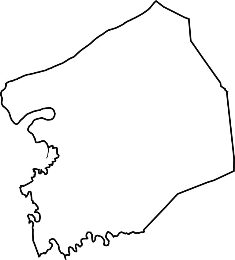
Montgomery County has a long, irregular shape. The New River forms part of the western edge, creating several curved sections along the boundary. The county does not border another state, although it sits relatively close to West Virginia.
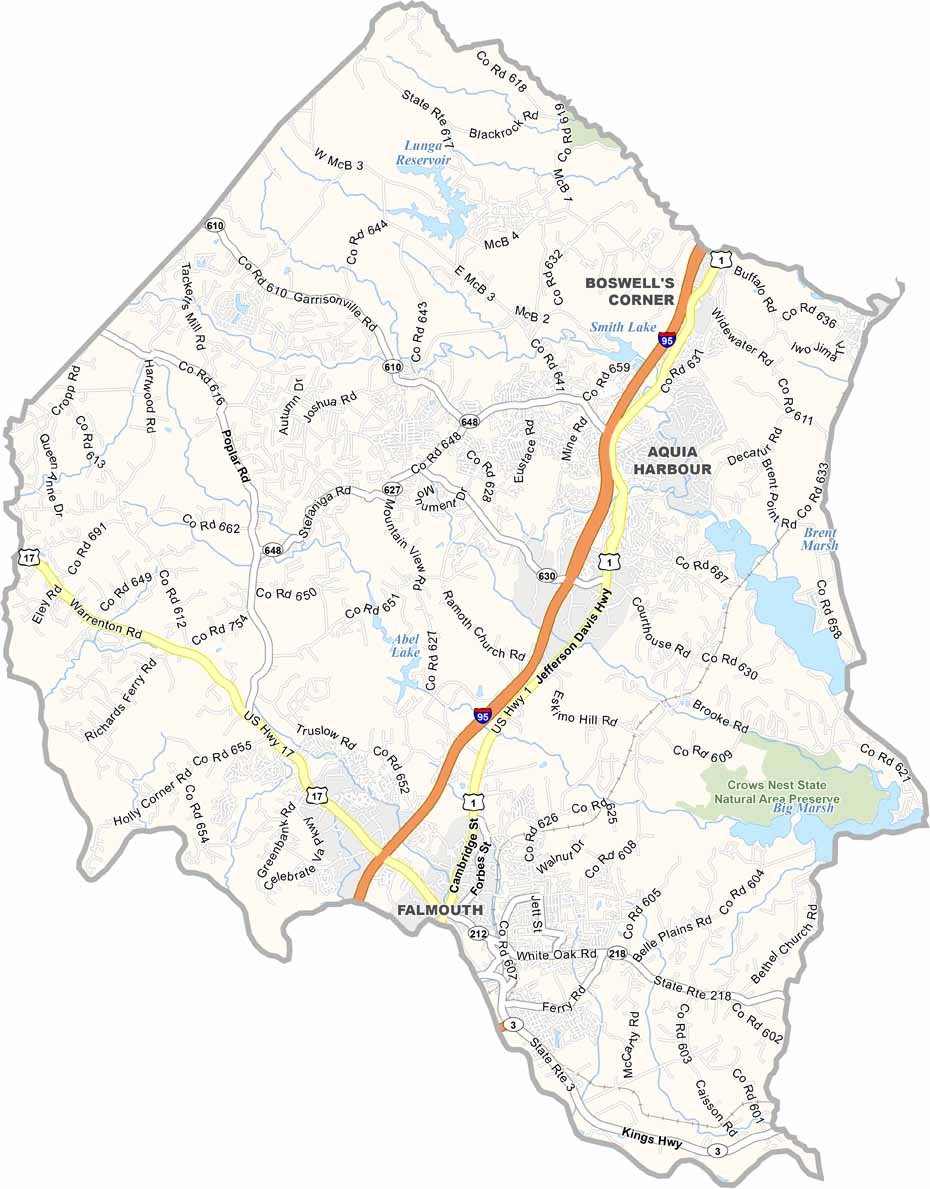
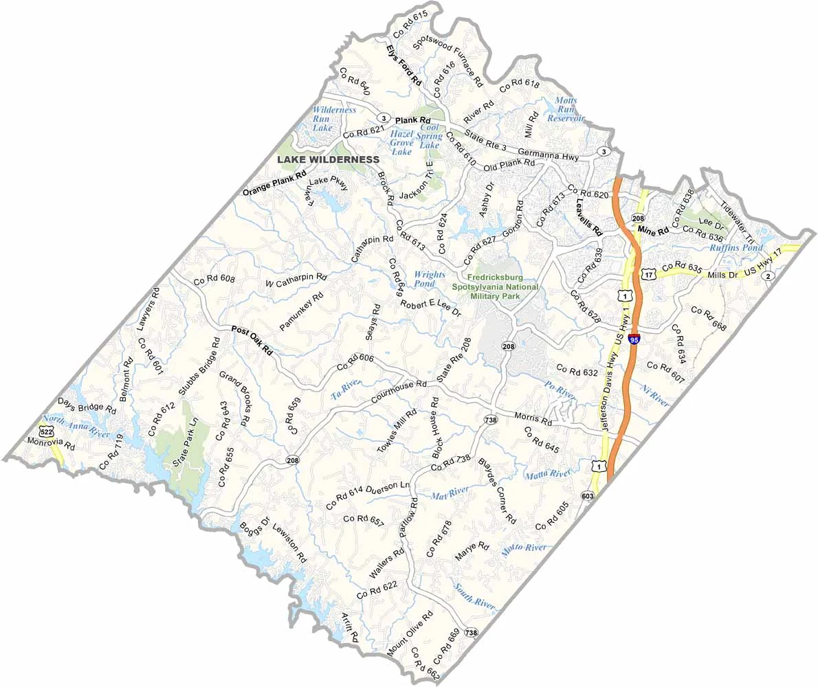


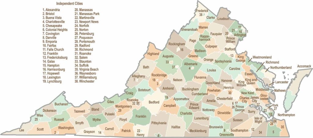
Virginia’s 95 counties bring together old-school roots, winding mountain roads, and Civil War history. One county is known for peanuts, another for presidents. Some feel distinctly rural, while others sit closer to the action around the nation’s capital.