
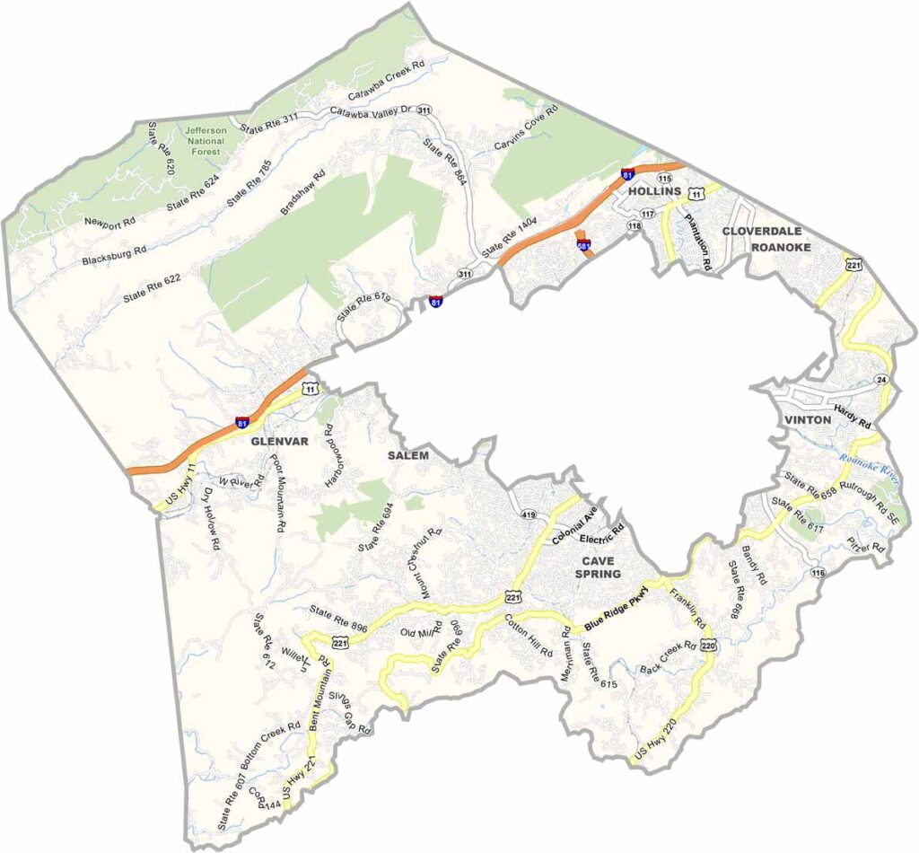
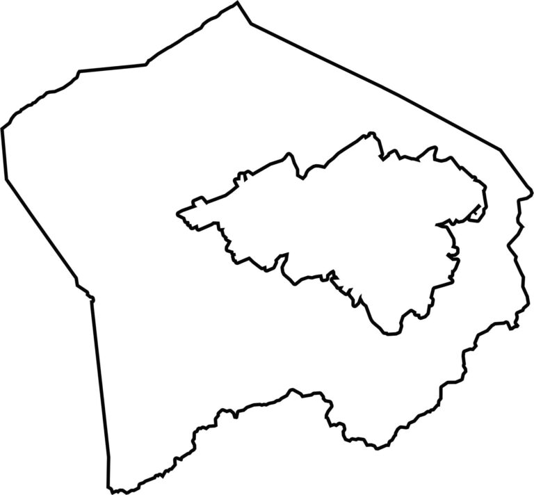
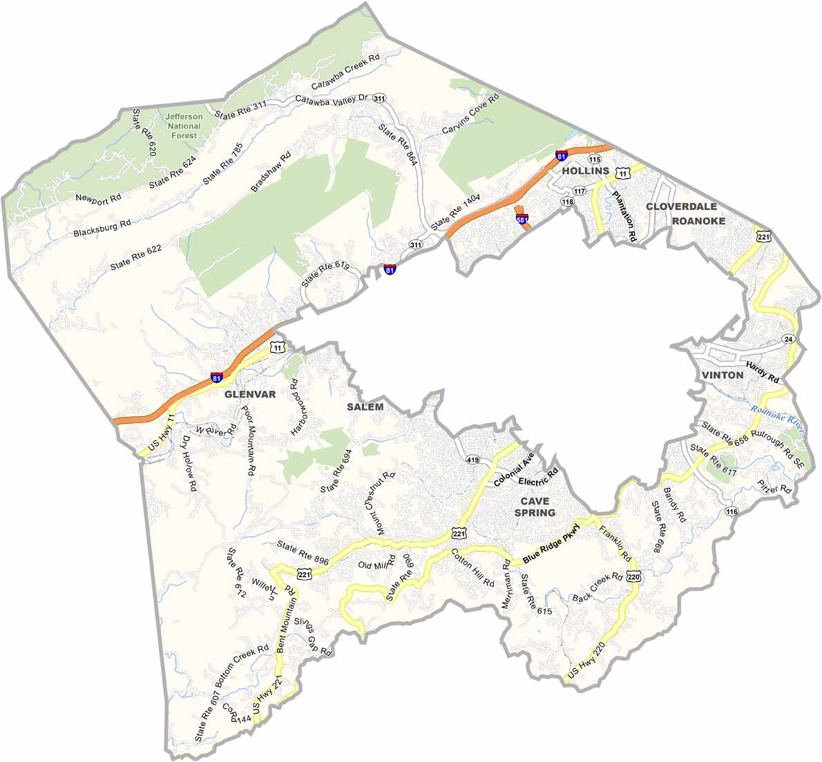
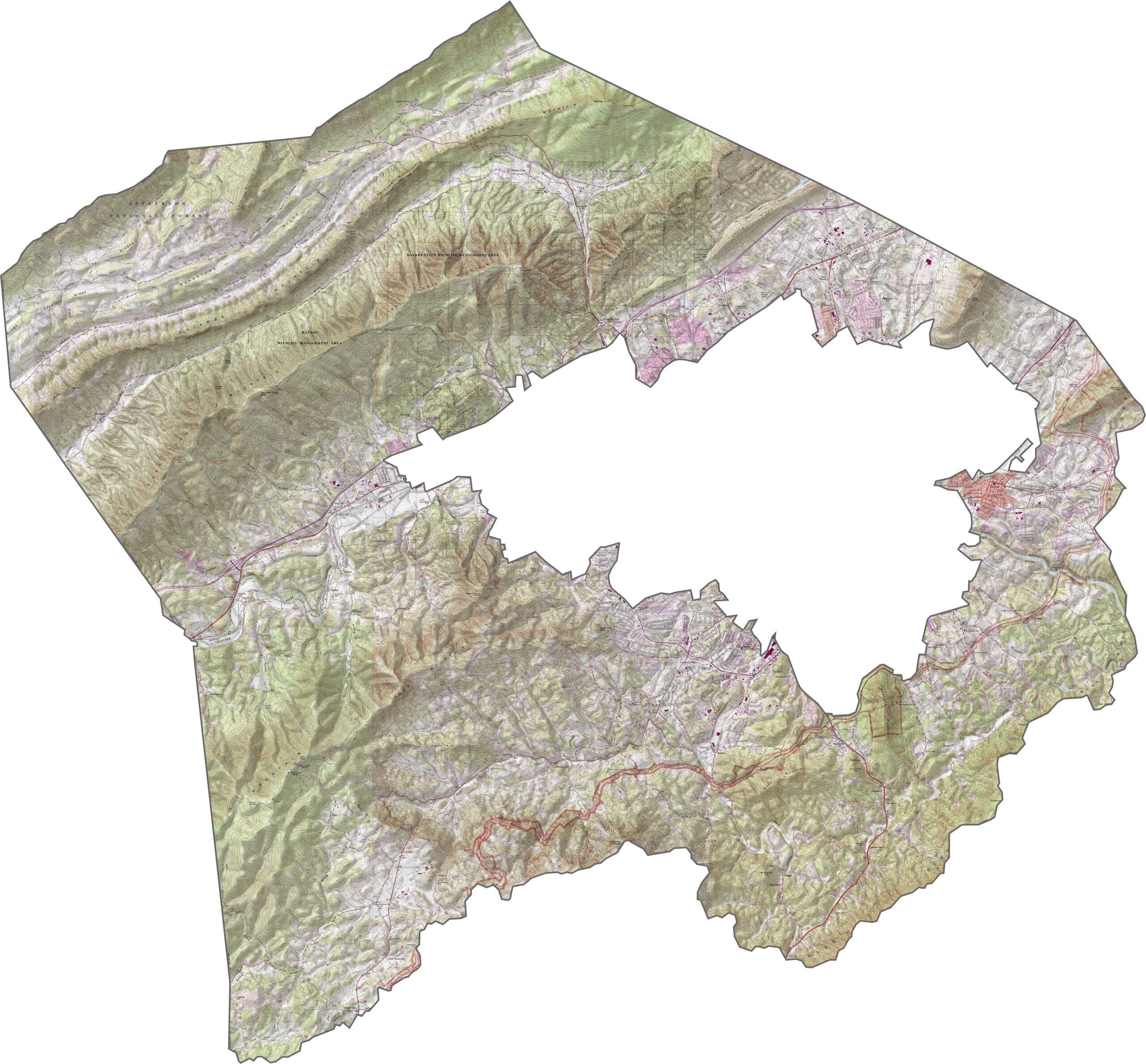
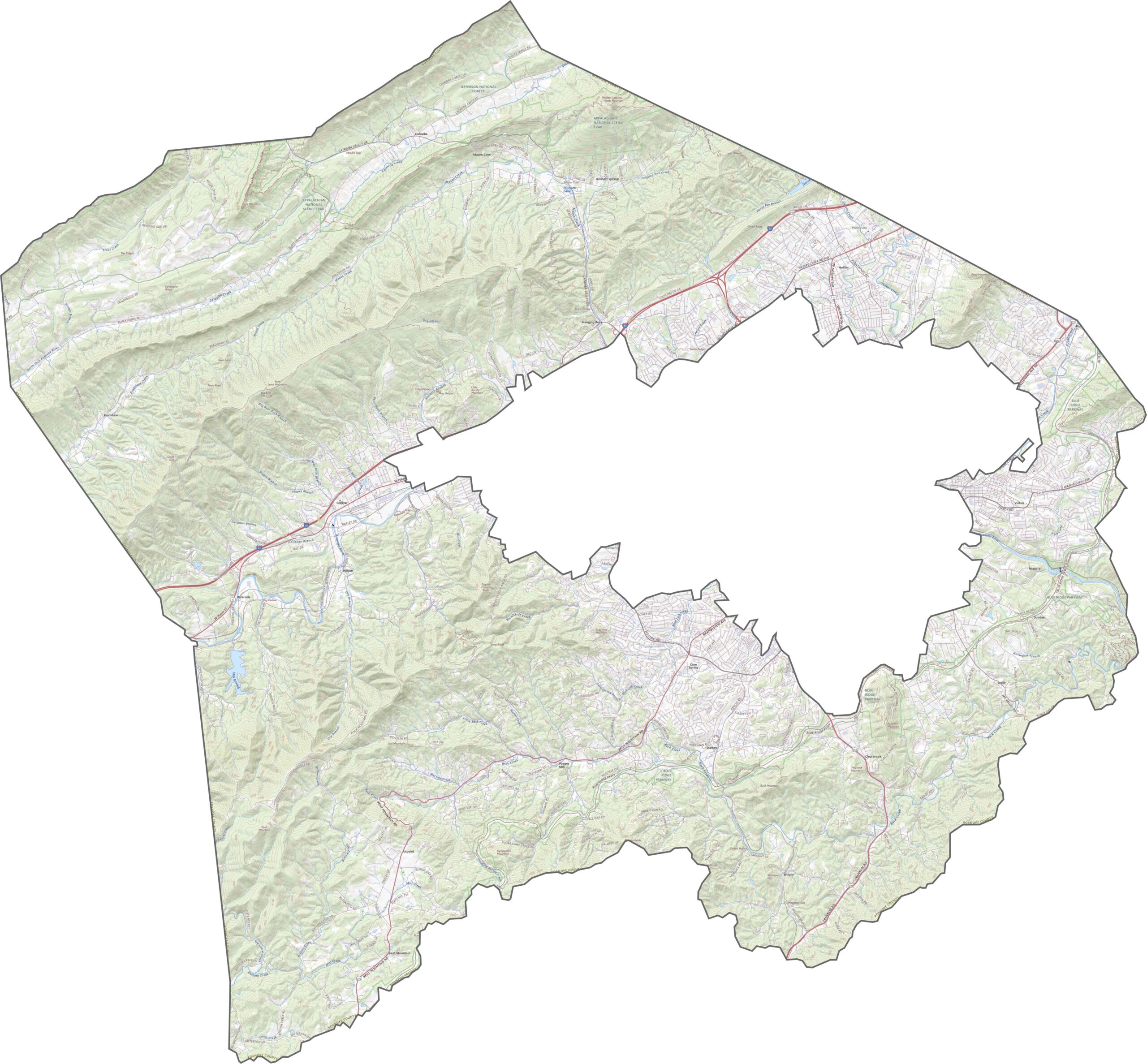
The Blue Ridge Mountains create a scenic backdrop for Roanoke County, which wraps around the independent city of Roanoke. On our map, the city almost looks like a cardboard cutout.
The Appalachian Trail runs along the county’s western edge, attracting hikers from around the world. The iconic Mill Mountain Star is hard to miss and is lit up every night. Explore Center also offers hands-on science activities for both kids and adults.
Vinton hosts the popular Dogwood Festival each spring. Then there’s Cave Spring, another community known for its, well, cave and spring. Roanoke County schools consistently rank among Virginia’s best. The Blue Ridge Parkway also offers some unforgettable Sunday drives.
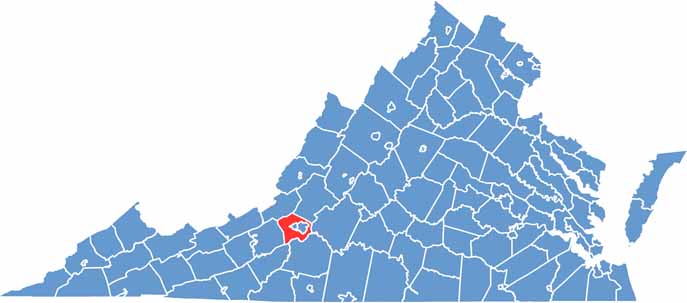
Roanoke County is a land of long, rugged ridges. The Blue Ridge and Allegheny Mountains run through the area, while the Roanoke Valley cuts between the hills and creates a broad, livable corridor.
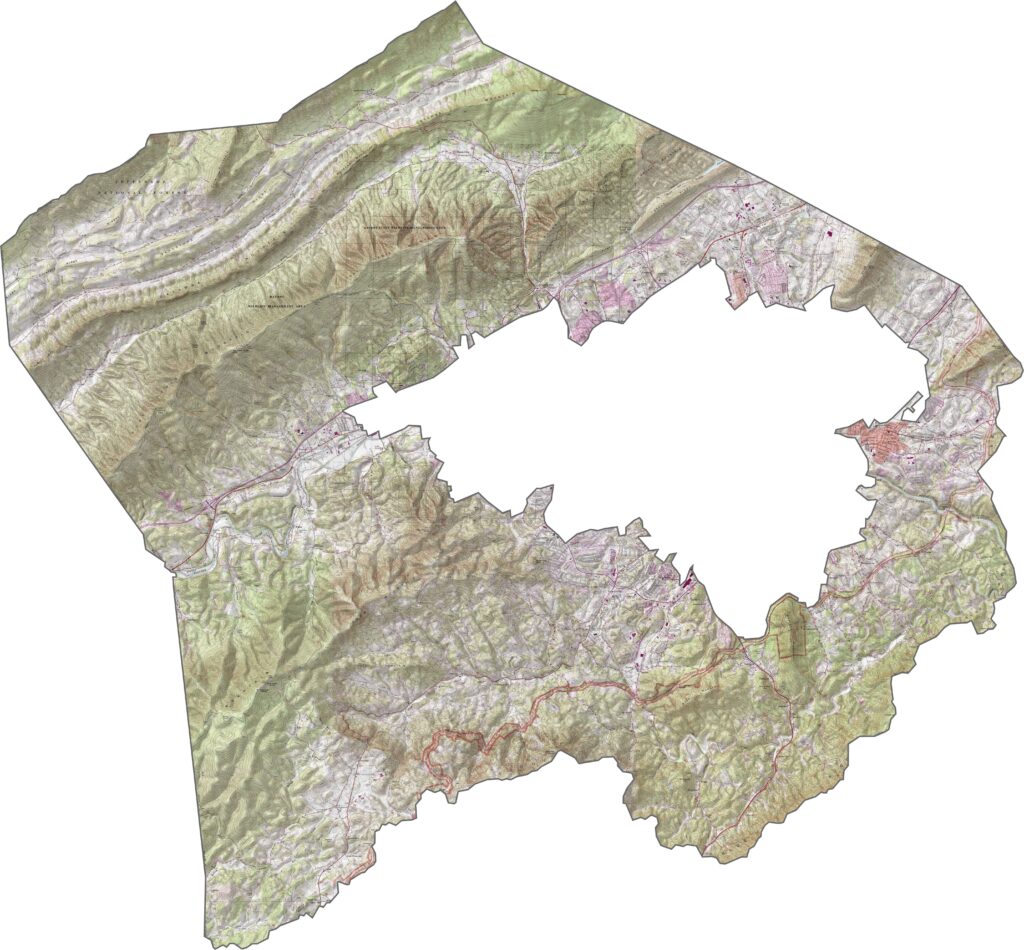
Interstate 81 winds through the valley, following the lower elevations. It’s a major route, but U.S. Highways 221 and 11 are also important connections. Use our zoom tool to explore the highways and roads throughout the county.
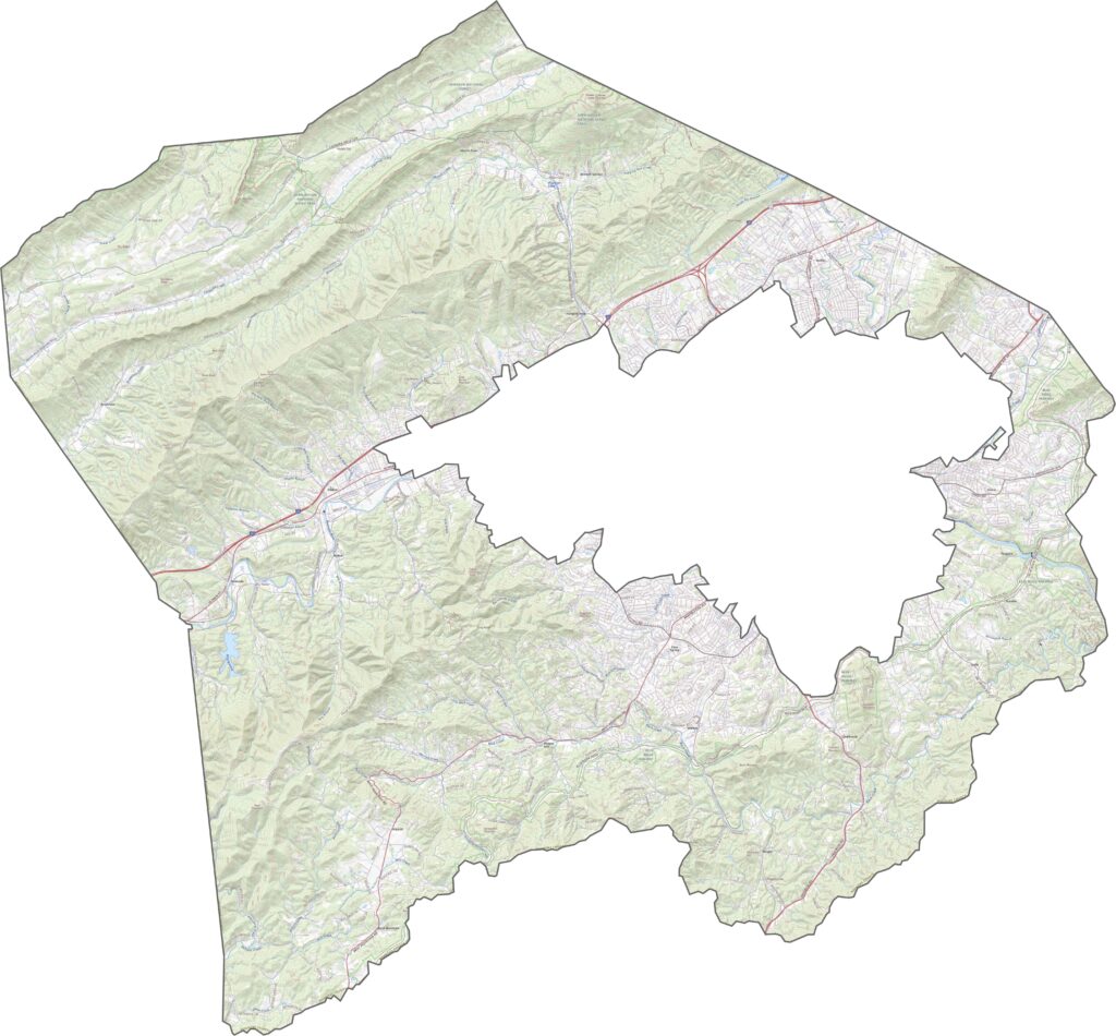
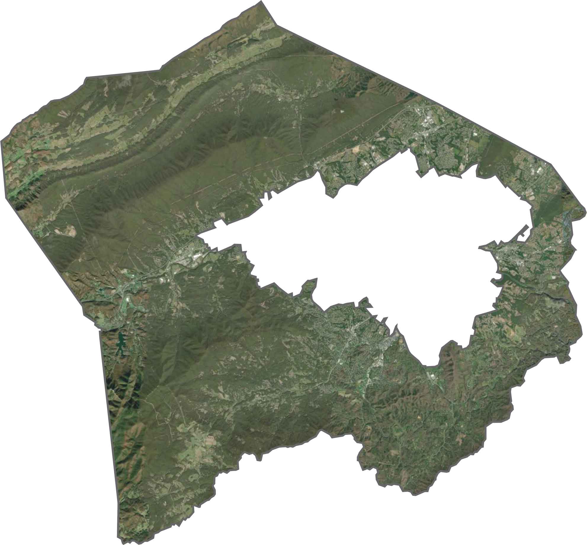
From above, Roanoke County is a mix of green mountain ridges and developed valleys. Forests cover the hills, while the valley floor near the city is filled with roads, homes, and businesses. One thing is clear—the greenery is everywhere.
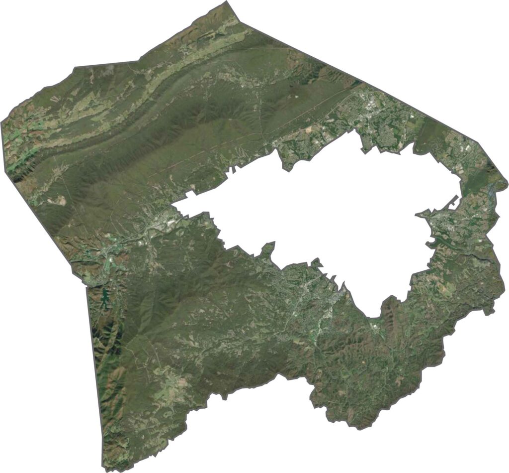
Roanoke County has a shape that resembles a donut. It surrounds the independent city of Roanoke without including it. Mountains make up much of the county’s boundaries.
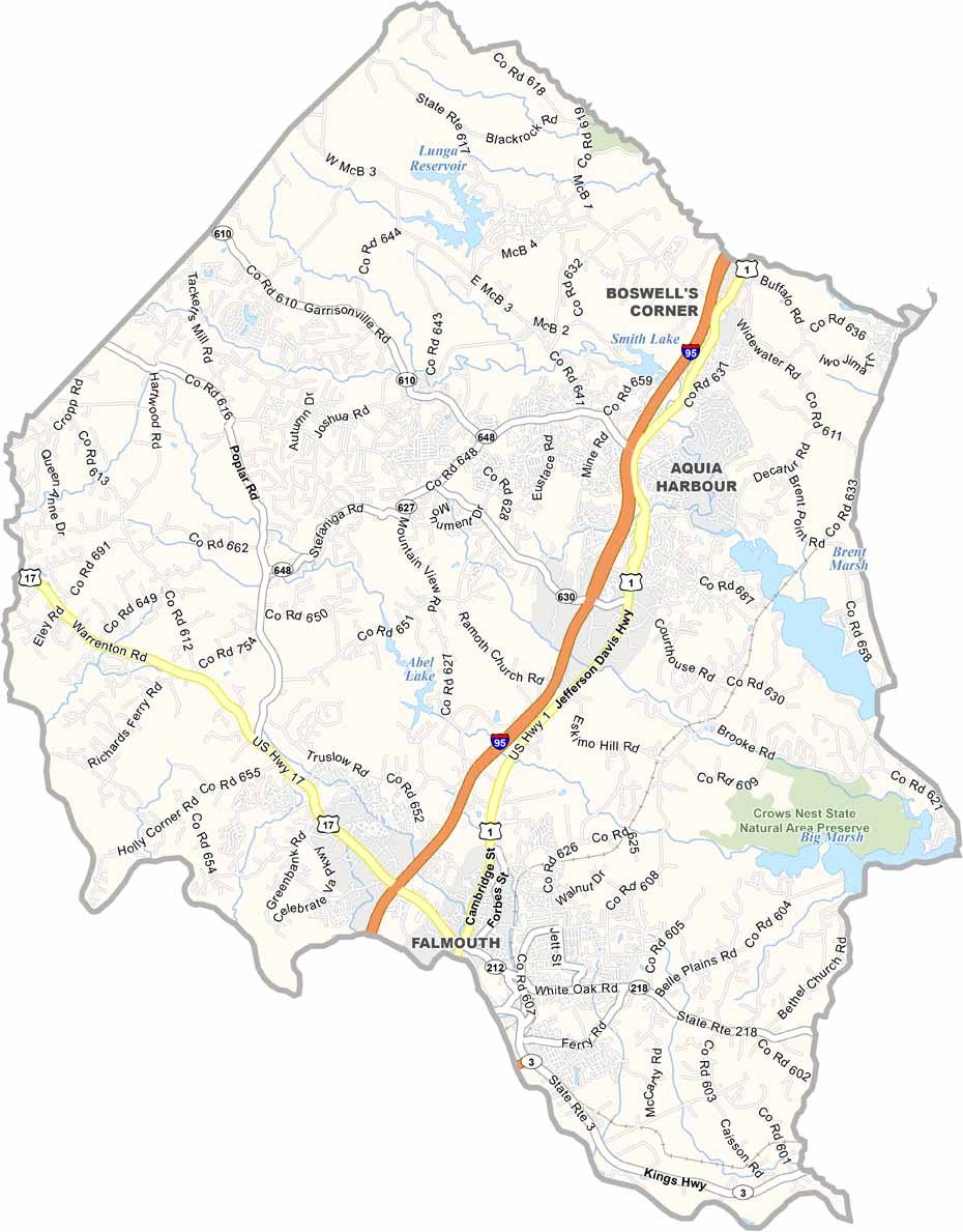
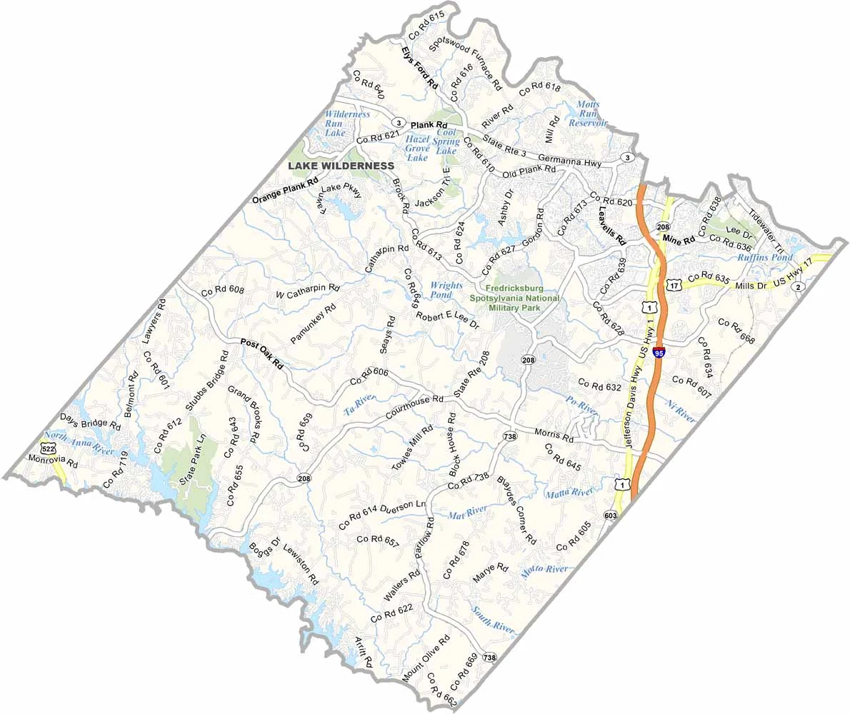


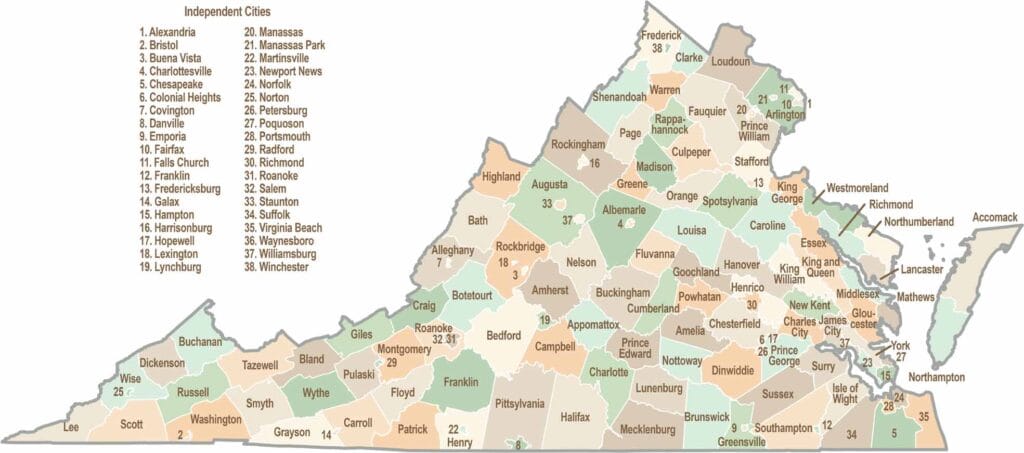
Virginia’s 95 counties bring together old-school roots, winding mountain roads, and Civil War history. One county is known for peanuts, another for presidents. Some feel distinctly rural, while others sit closer to the action around the nation’s capital.