
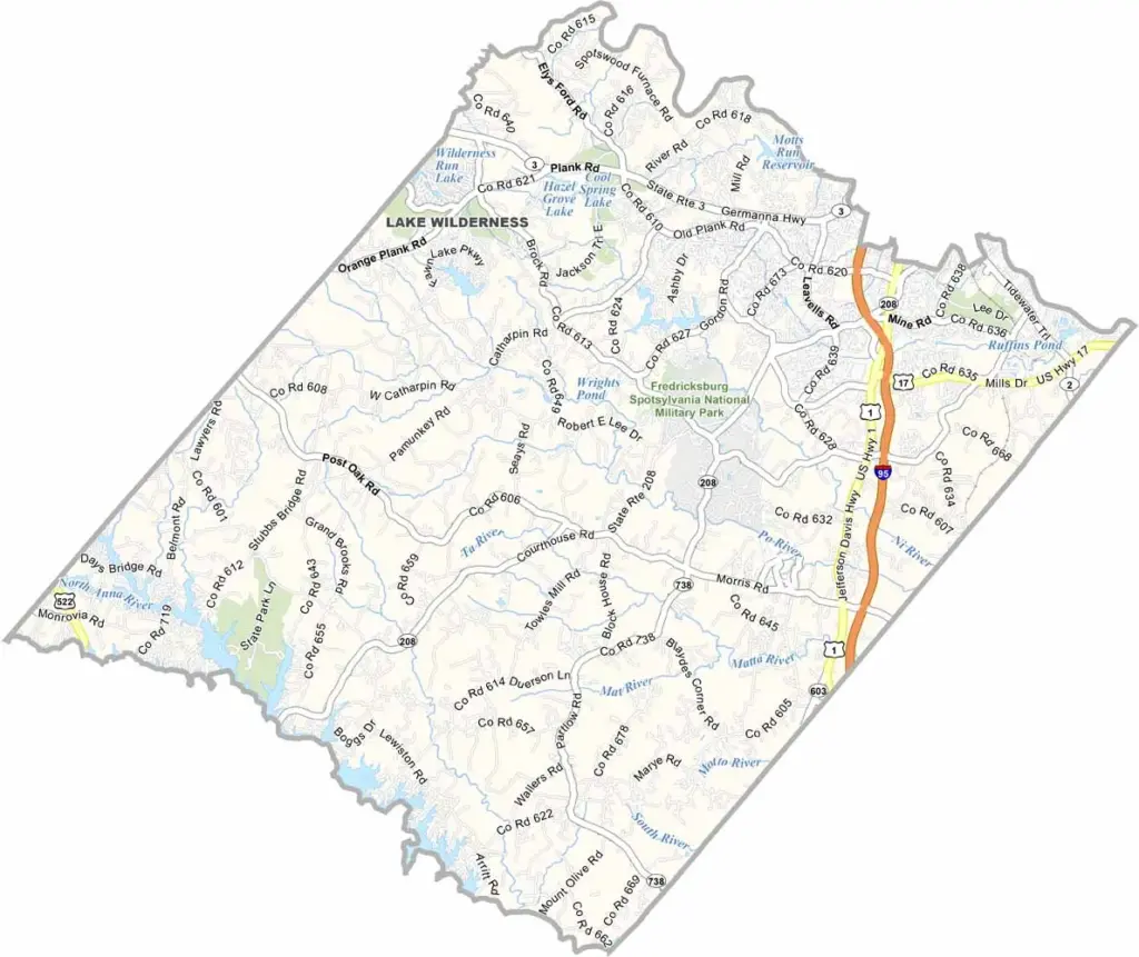
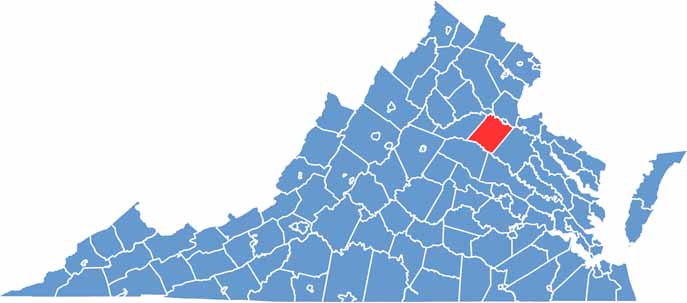
Spotsylvania County is located in central Virginia, about halfway between Washington, D.C., and Richmond. The county has seen plenty of action throughout its history, with four major Civil War battles fought here.
But don’t think it’s stuck in the past. Spotsylvania is growing quickly, with new neighborhoods appearing throughout the area. The county seat, Spotsylvania Courthouse, is small but full of history. You can’t miss the cannons sitting on the courthouse lawn.
Lake Anna is a major attraction, offering great opportunities for boating and fishing. The more developed areas also have plenty of shopping and dining options. Wine lovers are in luck too, with several vineyards located throughout the county. It’s a place that manages to keep one foot in the past while moving steadily into the future.
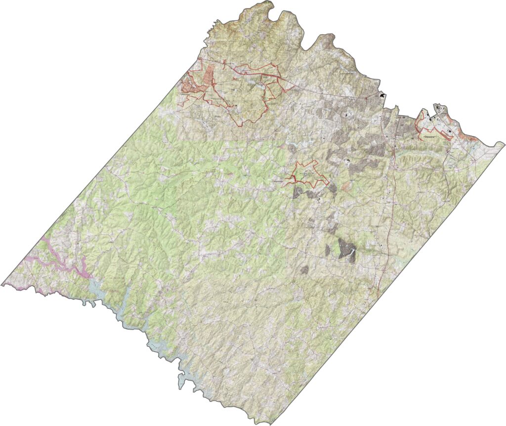
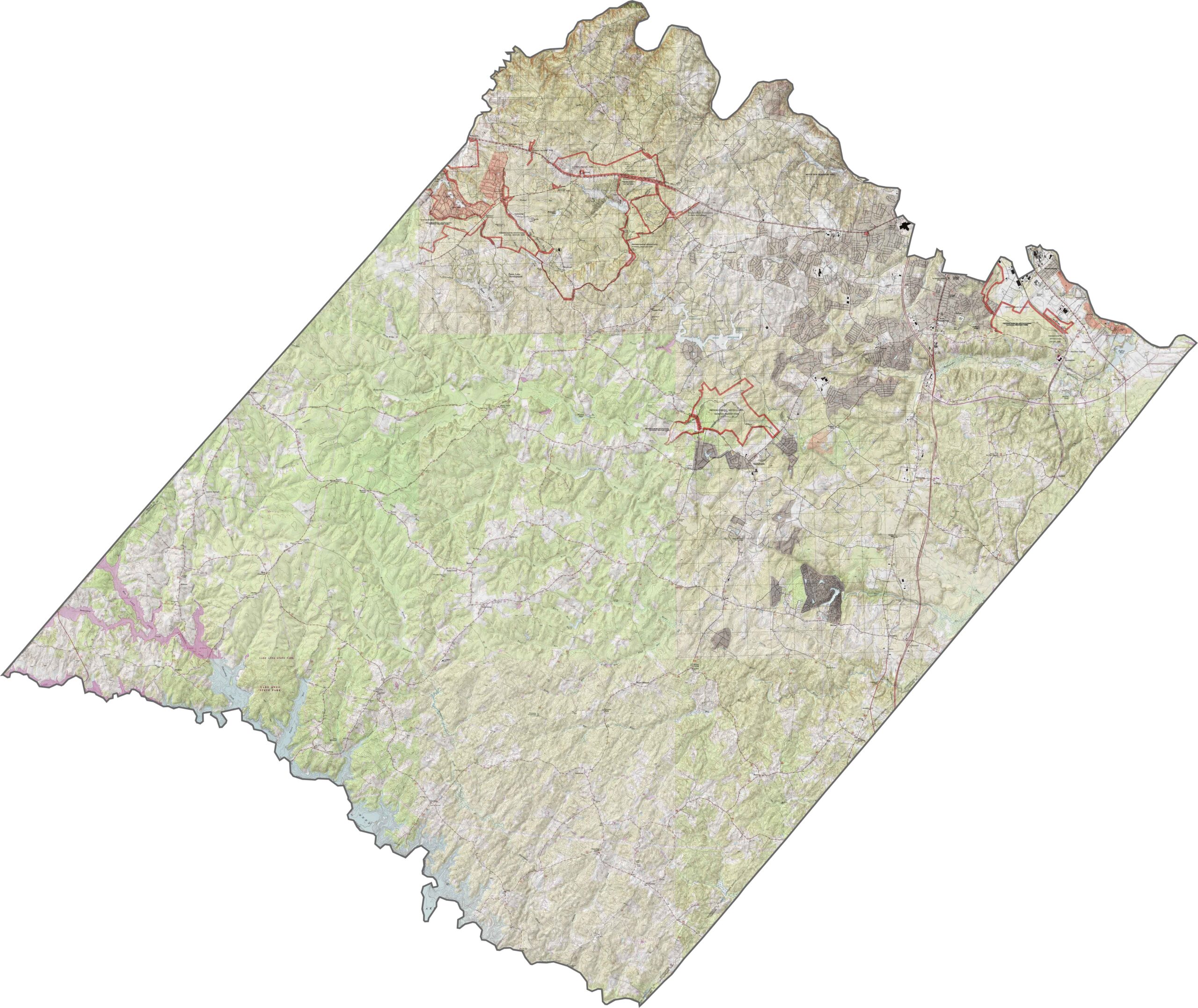
Spotsylvania County has a varied landscape, with hillier terrain in the western part of the county. As you move east, the land gradually becomes flatter and lower in elevation. There are no major mountains, but the changes in elevation are still noticeable.
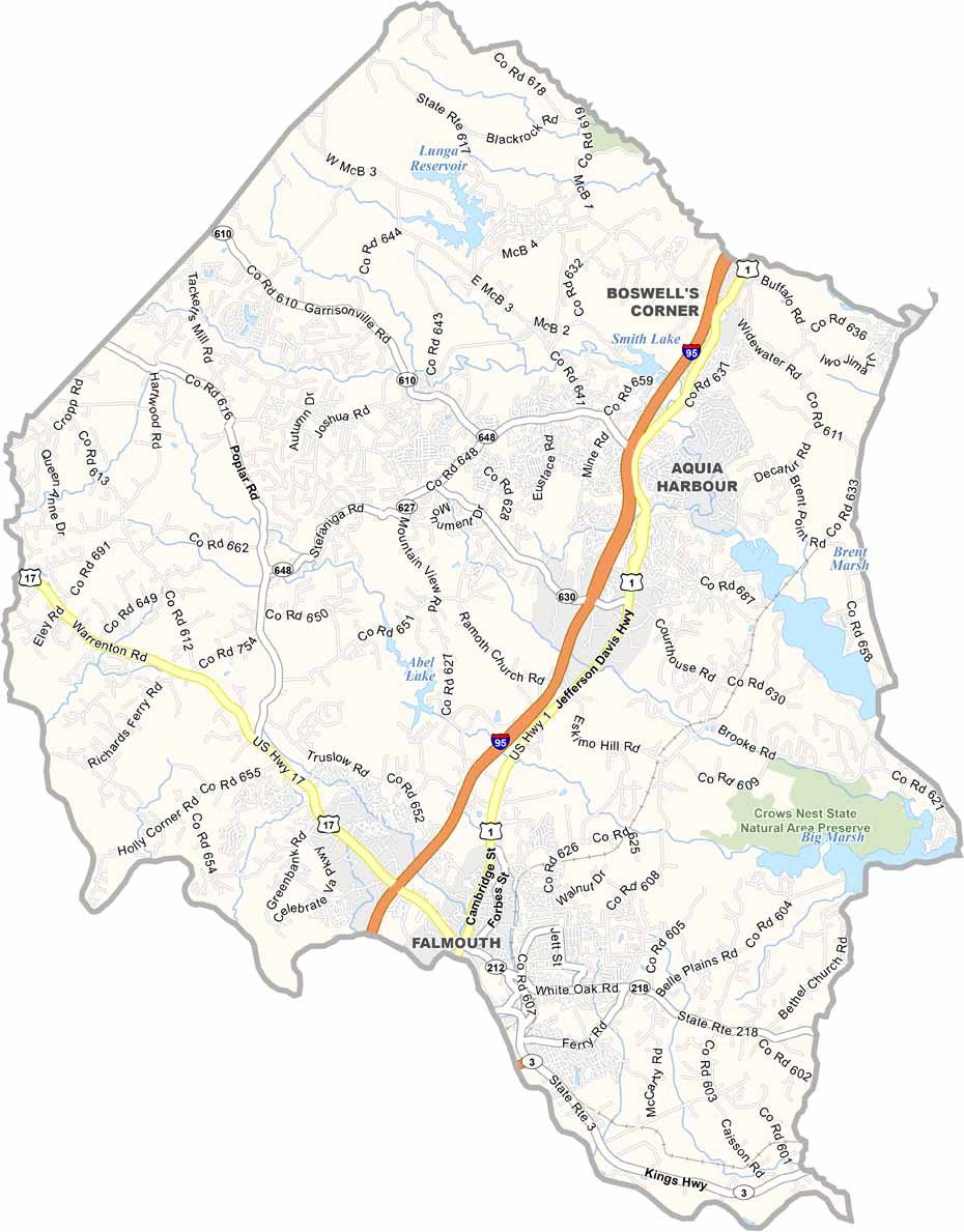
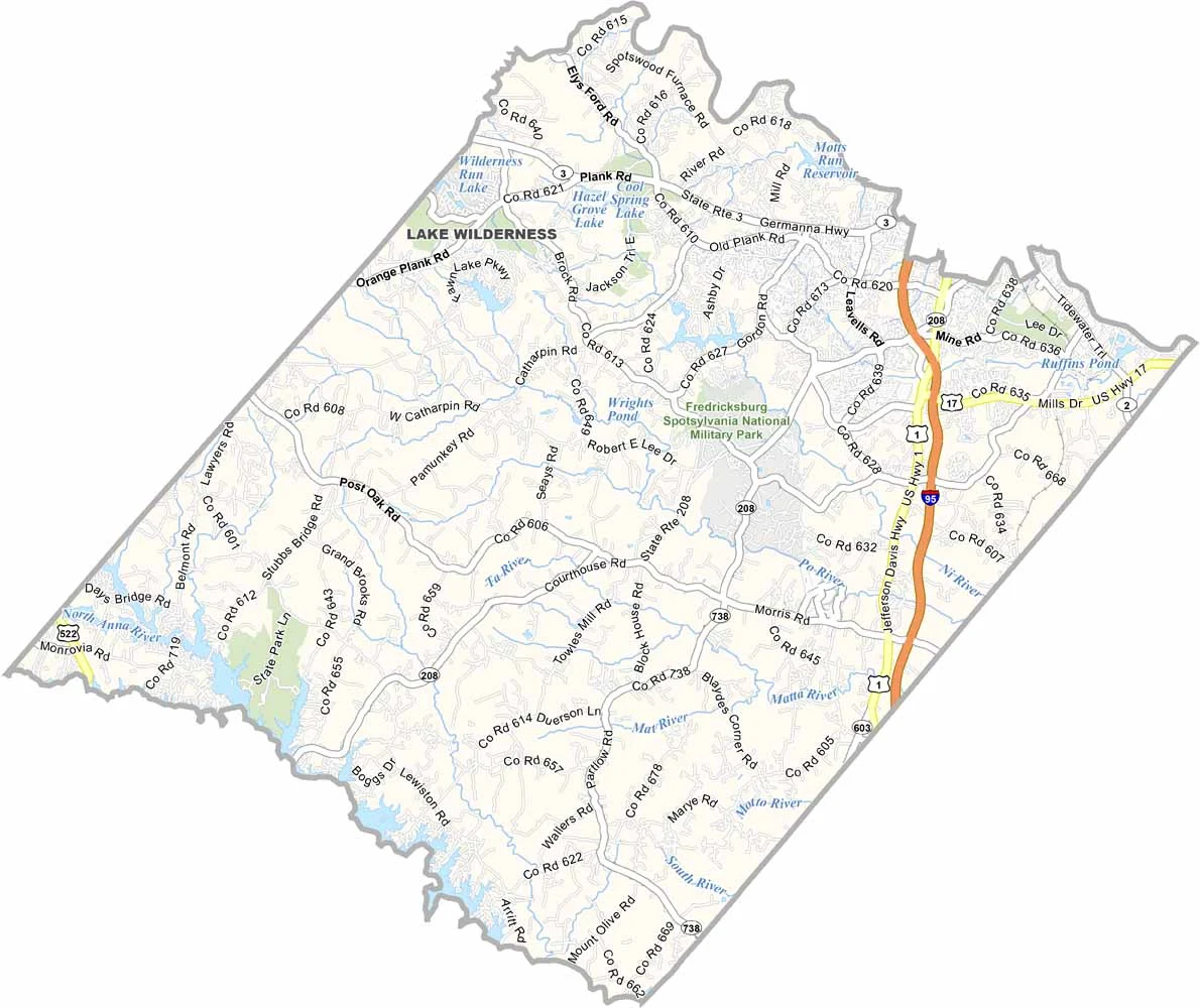
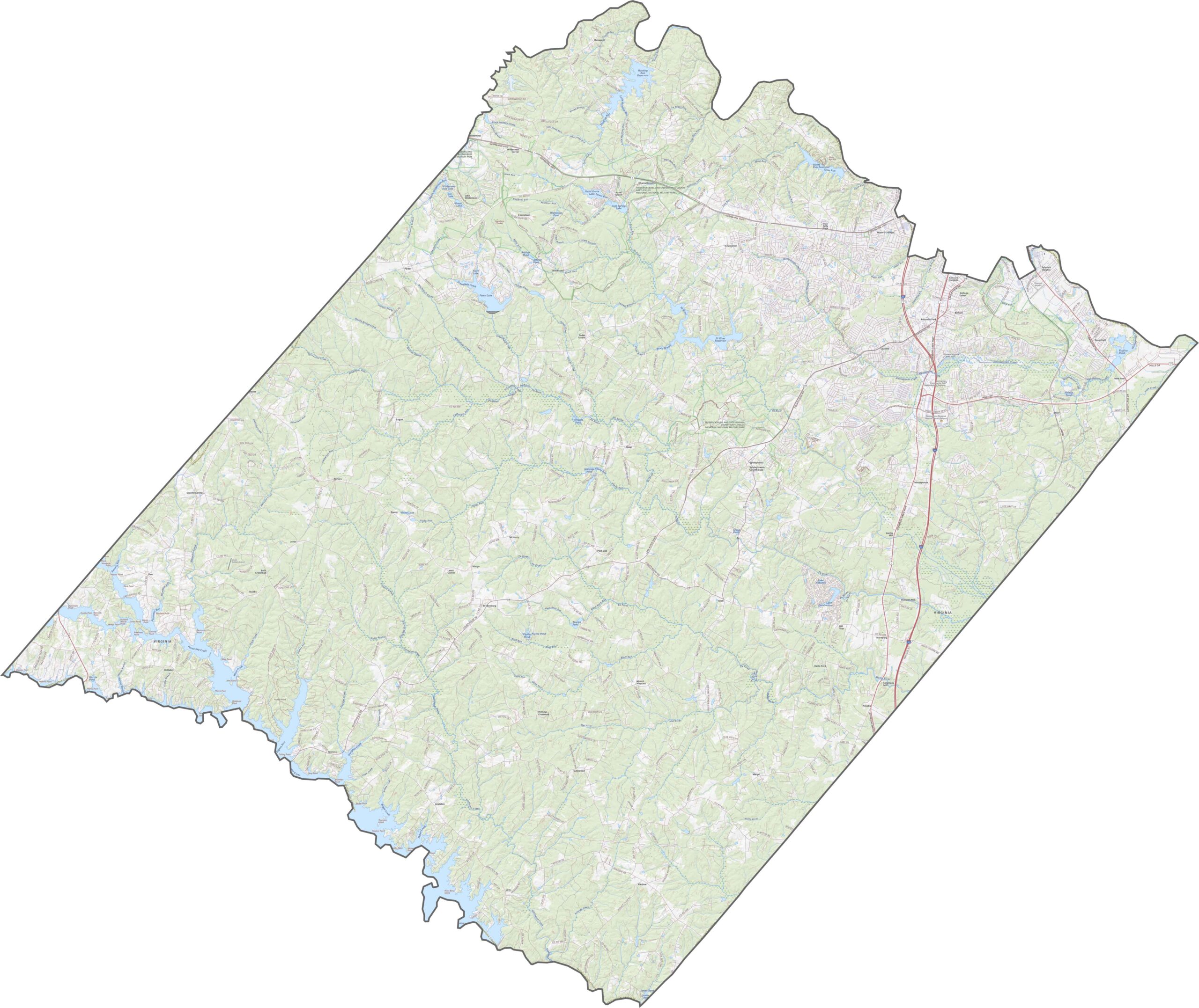
Several major routes run through Spotsylvania County, including Interstate 95 along the eastern side. Farther west, the roads become more winding and curvy. Traffic is heavier around Fredericksburg, while the outer areas tend to be quieter.
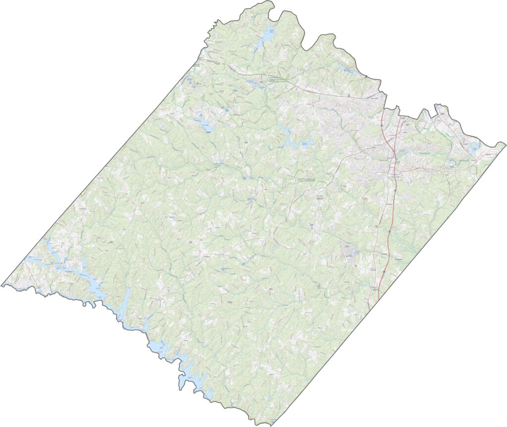
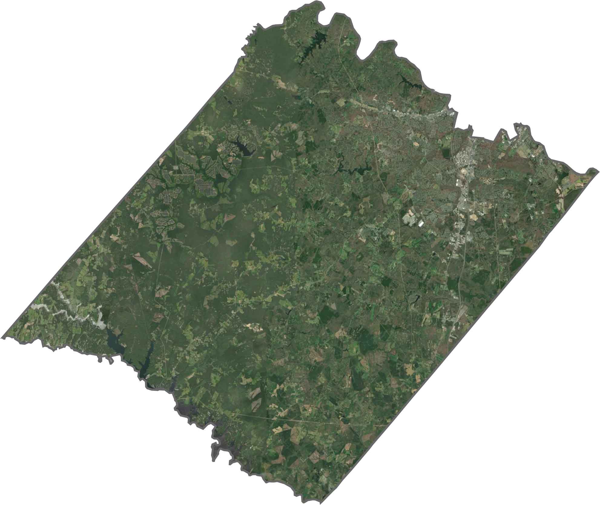
The county shows a clear contrast from east to west. Suburban neighborhoods and shopping centers are concentrated near the interstate, while forests and farmland become more common farther west. Lakes and reservoirs appear deep blue, with open fields breaking up the wooded areas.
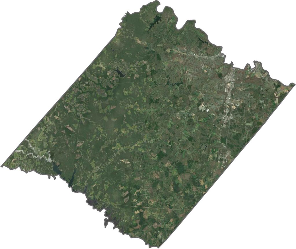
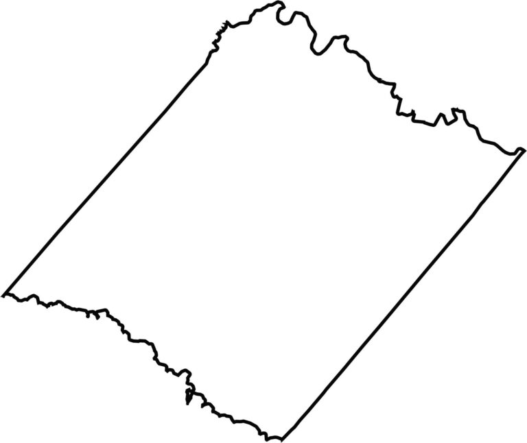
Spotsylvania County has an unusual shape, almost like a piece of paper with both ends torn off. The northern border follows part of the Rappahannock River, while Lake Anna helps shape the southern side. The western and eastern edges are relatively straight.


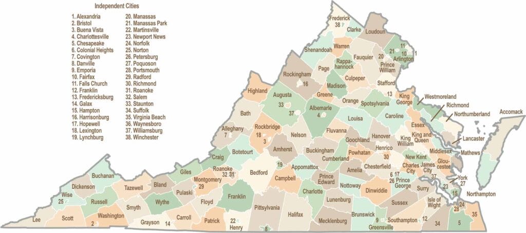
Virginia’s 95 counties bring together old-school roots, winding mountain roads, and Civil War history. One county is known for peanuts, another for presidents. Some feel distinctly rural, while others sit closer to the action around the nation’s capital.