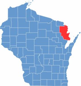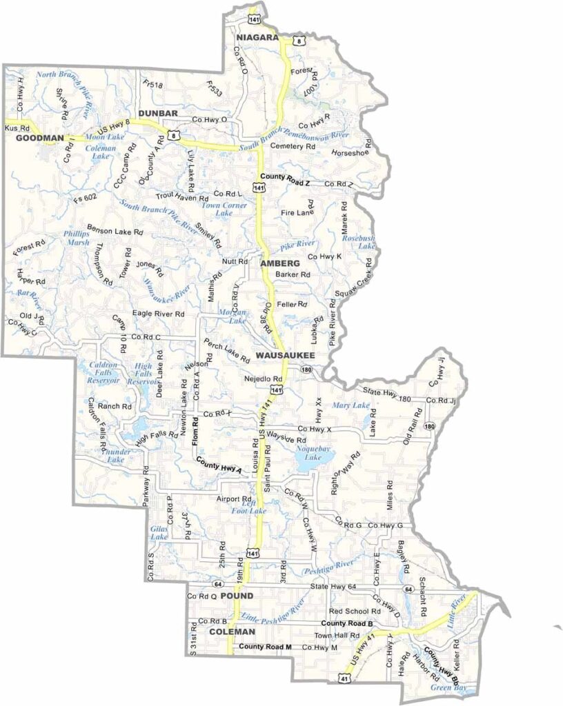
Marinette County sits in the northeastern corner of Wisconsin, where thick forests meet the water. The county is home to more than 230,000 acres of county forest, so there’s certainly no shortage of trees around here.
The Menominee River forms the border with Michigan’s Upper Peninsula, creating excellent opportunities for kayaking and other water activities. Marinette, the county seat, sits near the river’s mouth along Green Bay. Fishing and logging have long been important parts of the local economy, carrying on traditions that go back generations.
Lakes and waterfalls are scattered throughout the county, adding even more to its natural beauty. Winters are long, cold, and snowy, while summers are short but enjoyable. It’s a place where getting away from busy city life comes naturally. For anyone who loves the outdoors, Marinette County offers plenty to explore.