
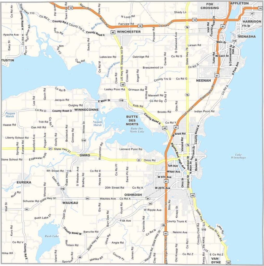
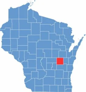
Winnebago County is located in east-central Wisconsin and is known for its scenic waterways, rich history, and vibrant communities. The county’s eastern edge is defined by Lake Winnebago, the largest lake entirely within Wisconsin. The lake is a major destination for boating, fishing, and outdoor recreation, and it is especially famous for its annual sturgeon fishing season.
The county’s largest city, Oshkosh, is internationally recognized for hosting the renowned EAA AirVenture Oshkosh, one of the world’s largest aviation events. Oshkosh is also known for its historic connection to the iconic OshKosh B’gosh clothing brand. Nearby, Neenah and Menasha, often referred to as the “Twin Cities of the Fox Valley,” feature charming historic neighborhoods, cultural attractions, and a thriving arts community.
Paper manufacturing has played a major role in the county’s development and continues to be an important part of the local economy. Winnebago County also has a rich Native American heritage, with several ancient effigy mounds preserving the history of the region’s early inhabitants.
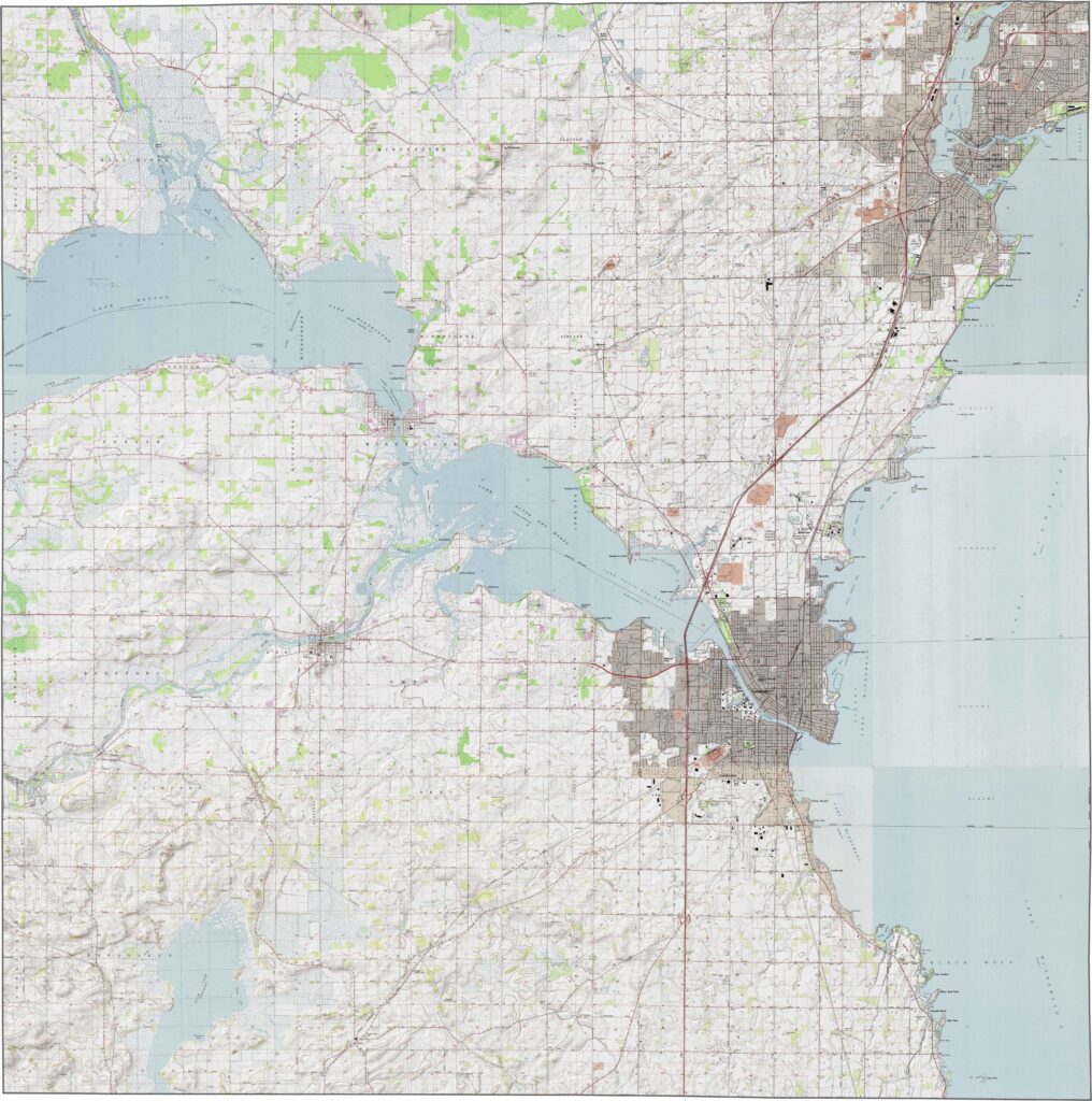
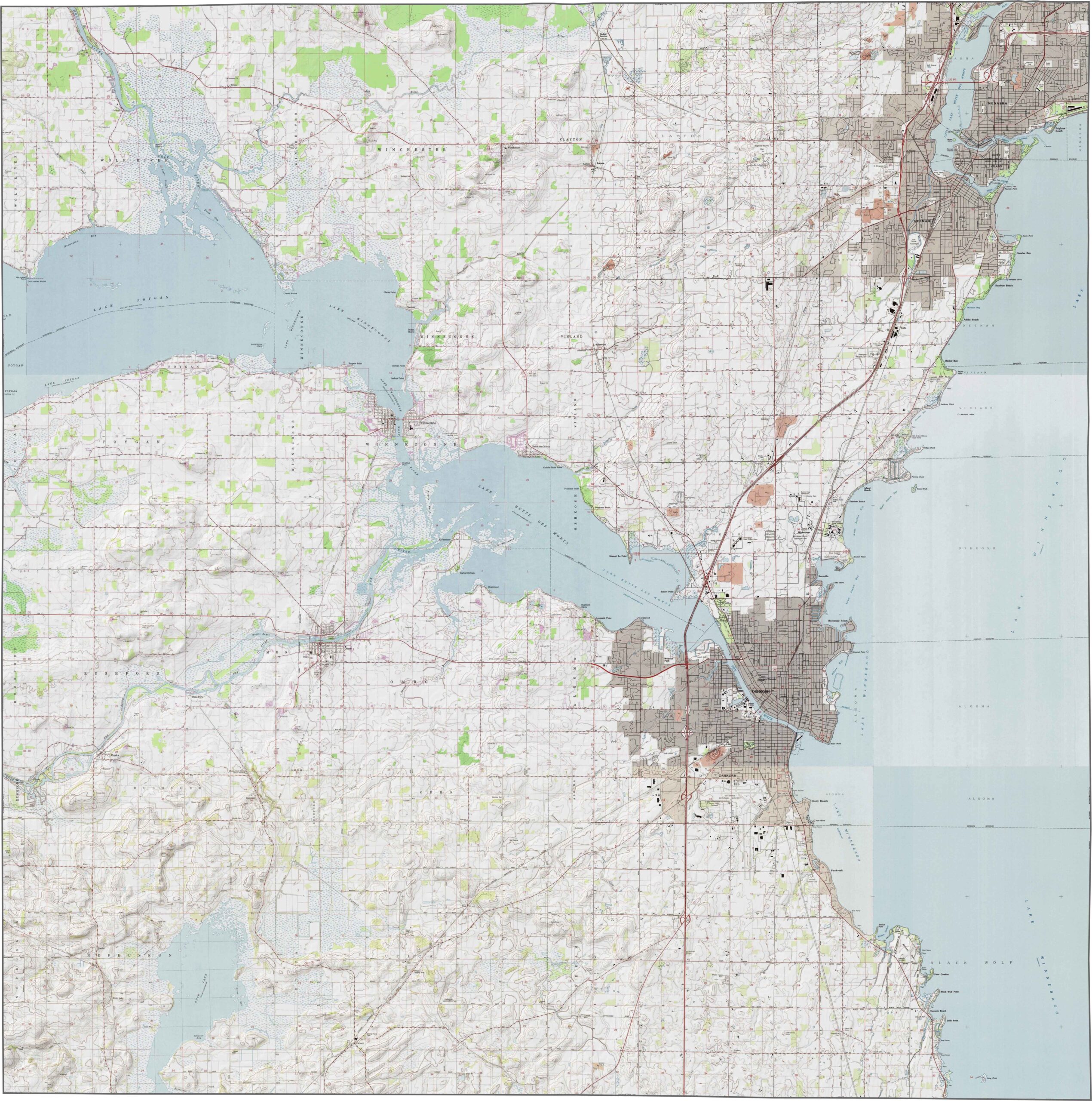
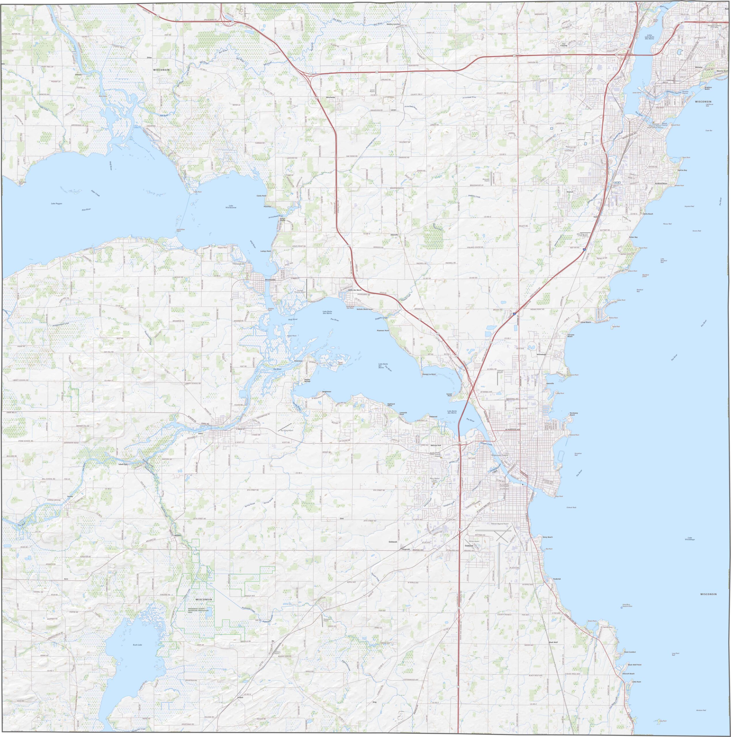
The Winnebago County topographic map highlights the county’s generally flat and low-lying terrain in east-central Wisconsin. The most prominent feature is Lake Winnebago, which occupies much of the county’s eastern side and significantly influences the local landscape. Beyond the shoreline, the terrain consists primarily of open, gently rolling land with minimal elevation changes.Other important water features include Lake Butte des Morts and Lake Poygan, both of which are part of the larger Fox–Wolf River system. These lakes, along with Lake Winnebago, help shape the county’s geography and provide valuable opportunities for recreation, wildlife habitat, and water-based activities.
The Winnebago County road map highlights the county’s well-developed transportation network. Interstate 41 (I-41) runs through the center of the county and serves as the primary route for travel and commerce throughout the region. Additional state and local highways connect communities along the lakeshore and provide access to cities and towns such as Oshkosh, Neenah, and Omro.These transportation corridors make it easy to travel between residential areas, business districts, recreational destinations, and neighboring counties. Use our interactive zoom tool to explore the complete road network and view transportation routes across Winnebago County in greater detail.
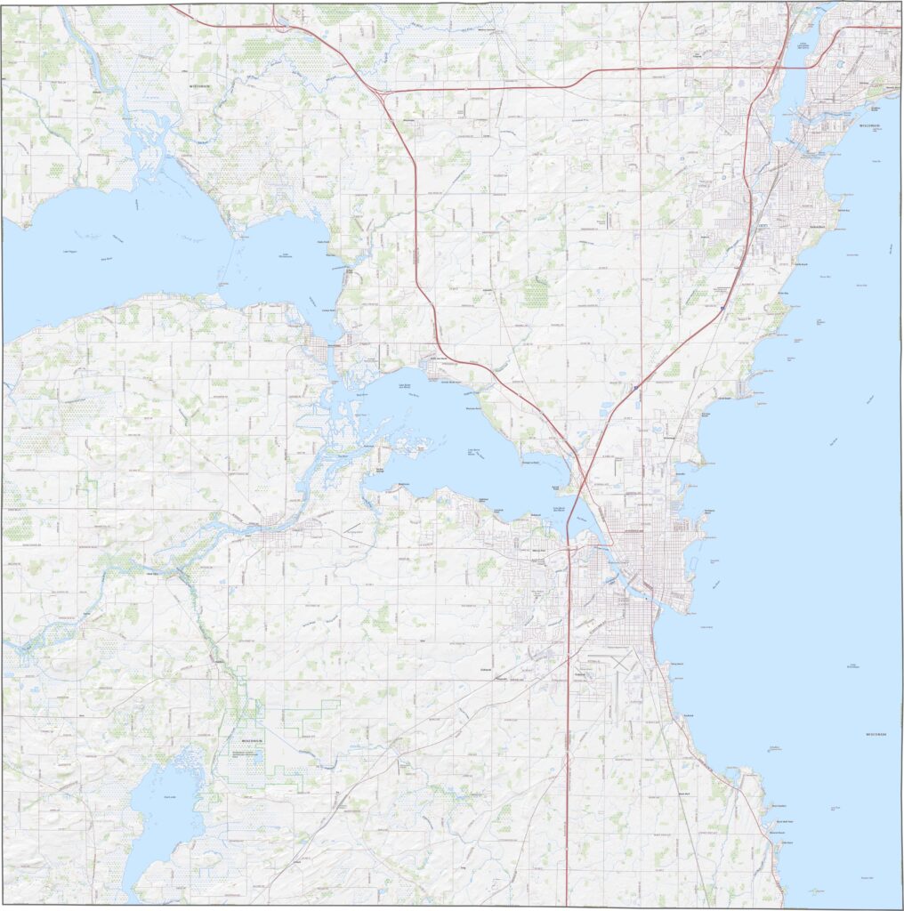
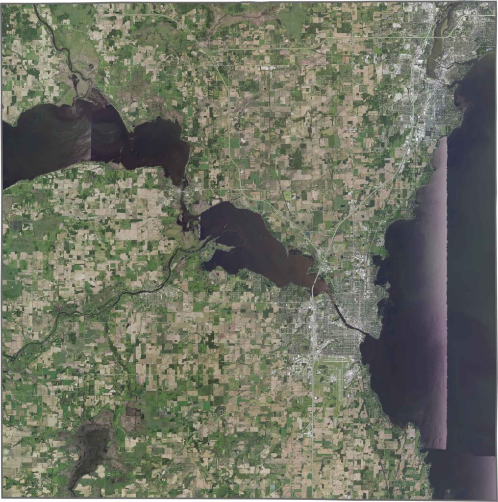
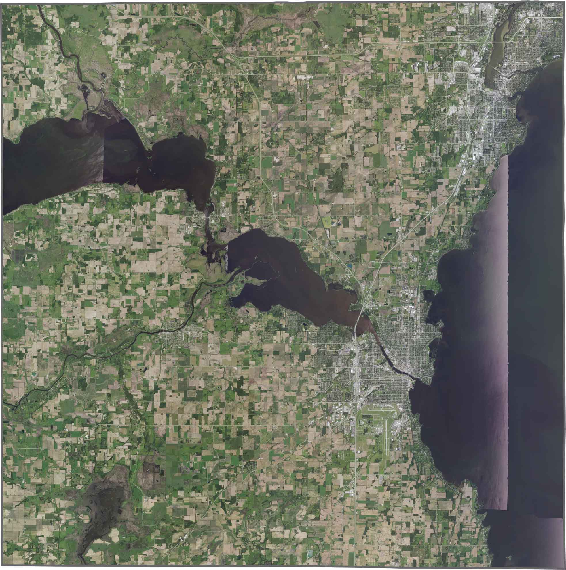
The Winnebago County satellite map is dominated by Lake Winnebago, which covers much of the county’s eastern side and stands out as a large, deep-blue feature visible from space. Along the lake’s western shoreline, Oshkosh appears as the county’s largest urban center, with residential neighborhoods, commercial areas, and transportation corridors clearly visible.Beyond the city, the landscape transitions into a diverse mix of agricultural fields, wetlands, marshes, and smaller communities. This combination of water, farmland, and developed areas highlights the varied land use and natural beauty that characterize Winnebago County.
The Winnebago County outline map shows a county that closely follows the western shoreline of Lake Winnebago. While the lake is a defining feature of the region, the county’s eastern boundary does not trace the shoreline and instead follows a straight survey line. Overall, Winnebago County has a fairly regular, almost square-shaped outline, reflecting the organized land survey patterns common throughout Wisconsin.







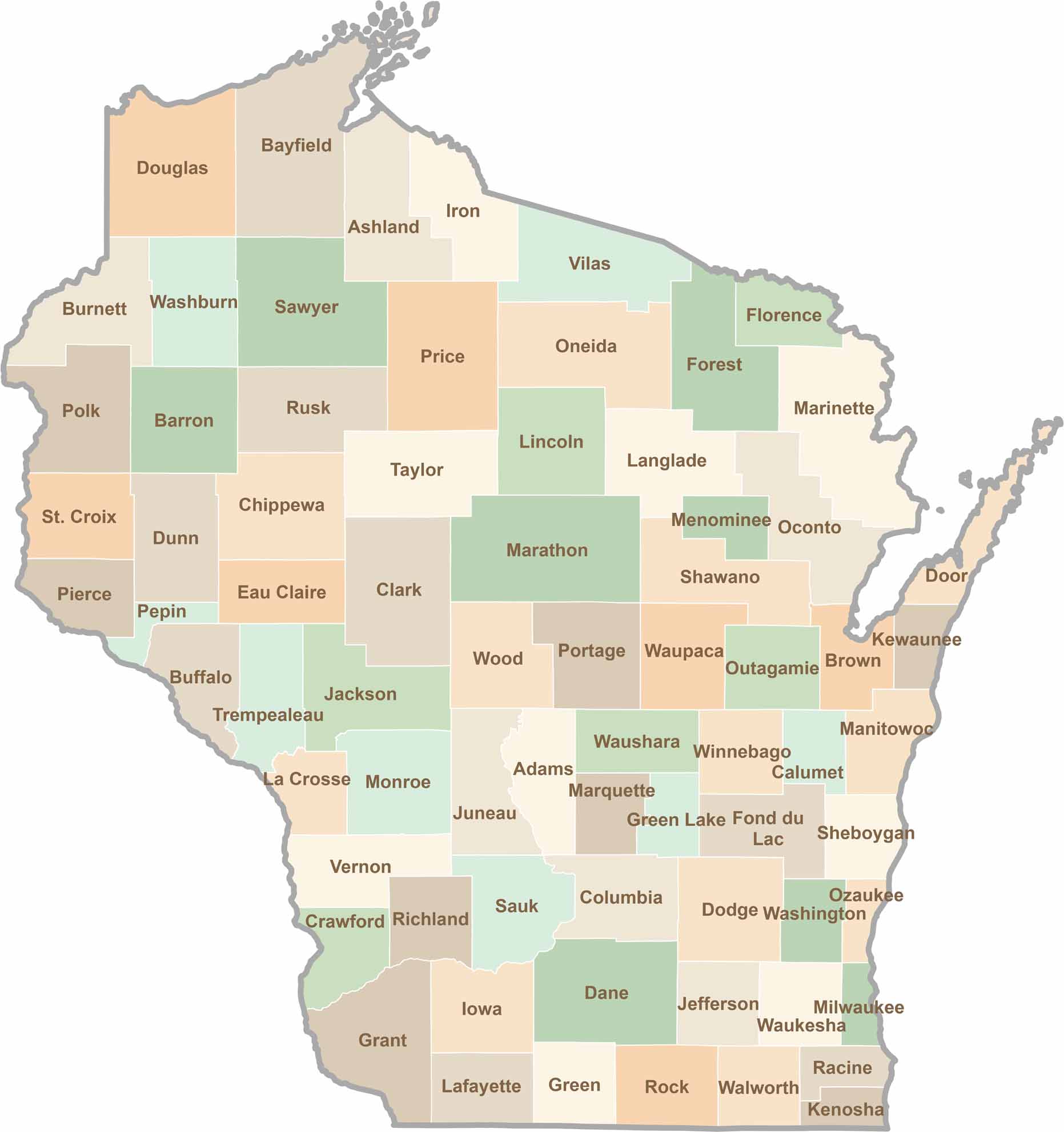
Wisconsin is known for its beer, cheese, and proud traditions, but the state’s 72 counties offer far more than familiar stereotypes. From the scenic shorelines of Lake Michigan and Lake Superior to sprawling dairy farms, dense forests, rolling bluffs, and picturesque river valleys, Wisconsin features an incredible variety of landscapes and communities.Each county has its own unique character, history, and attractions.