
Sheboygan County, Wisconsin is located along the western shore of Lake Michigan and is one of the top destinations in eastern Wisconsin for beaches, outdoor recreation, and waterfront attractions. Often called the "Malibu of the Midwest," the county is famous for its freshwater surfing, scenic shoreline, and vibrant coastal communities. The Sheboygan River flows through the county, adding to its natural beauty and recreational opportunities.
Outdoor enthusiasts can relax on the sandy beaches and rolling dunes of Kohler-Andrae State Park, enjoy boating, fishing, hiking, and kayaking, or experience the county’s renowned surfing conditions on Lake Michigan. Sheboygan County is also celebrated for its rich culinary traditions, especially its famous bratwurst, making it a favorite destination for food lovers and local festivals.
Visitors can play championship golf at the world-renowned Whistling Straits course, explore creative exhibits at the John Michael Kohler Arts Center, or visit Plymouth, proudly known as the "Cheese Capital of the World." With its stunning lakeshore, outdoor adventures, cultural attractions, and family-friendly destinations, Sheboygan County is one of the best places to visit in Wisconsin.
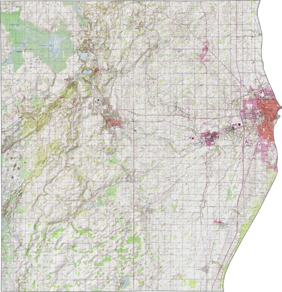
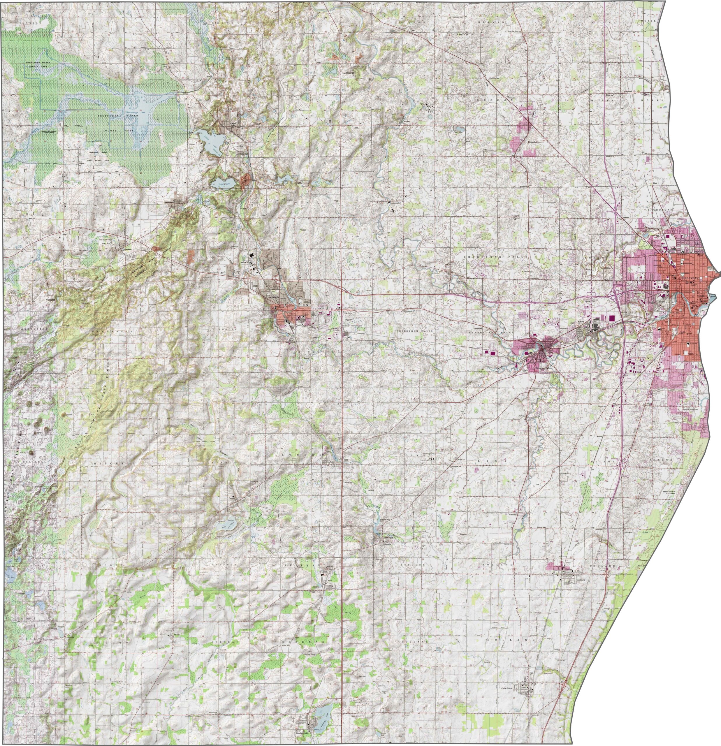
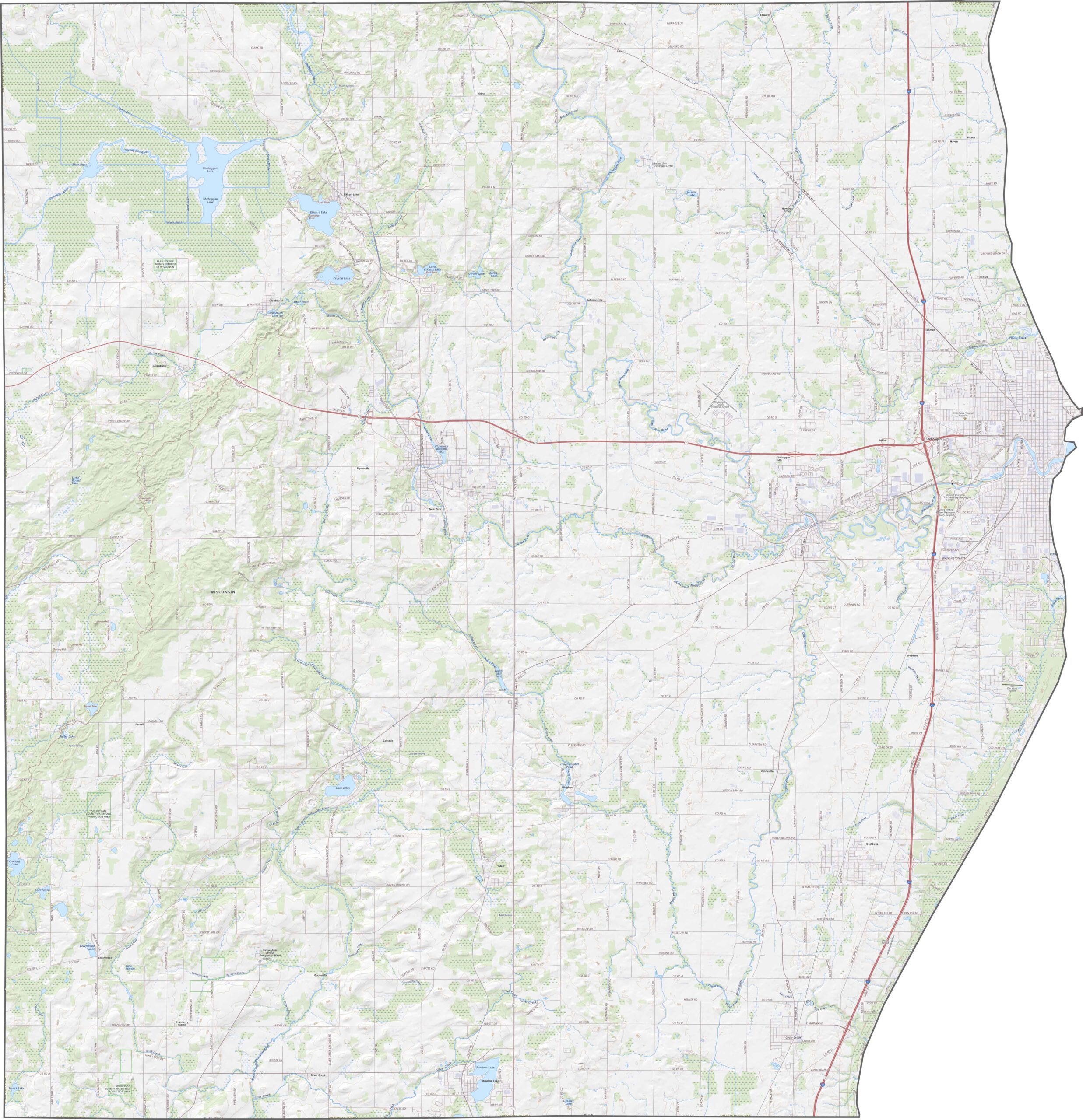
Sheboygan County features a diverse landscape of Lake Michigan shoreline, gently rolling inland hills, and glacial terrain. The Kettle Moraine in the western part of the county adds scenic ridges, forests, and kettle lakes, while the Sheboygan River flows through the heart of the county before emptying into Lake Michigan. This combination of beaches, river valleys, woodlands, and rolling countryside makes Sheboygan County a popular destination for hiking, biking, fishing, and outdoor recreation in eastern Wisconsin.
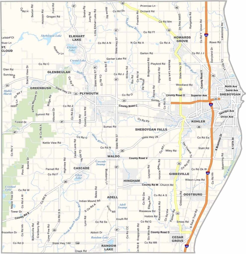
Interstate 43 is the primary highway serving Sheboygan County, running north-south near the Lake Michigan shoreline and providing convenient access to Milwaukee, Green Bay, and surrounding communities. A network of U.S. highways, state highways, and local roads connects the county’s cities, parks, beaches, and rural areas, making travel easy for residents and visitors. Outside the City of Sheboygan, traffic is generally light, allowing for scenic drives along the lakeshore and through the countryside. Use the interactive map below to explore Sheboygan County’s highways, road network, and major attractions.
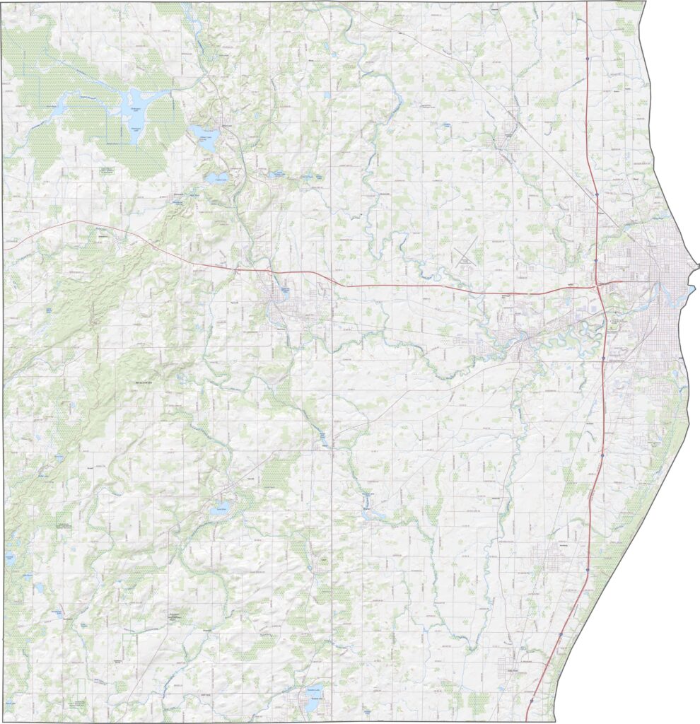
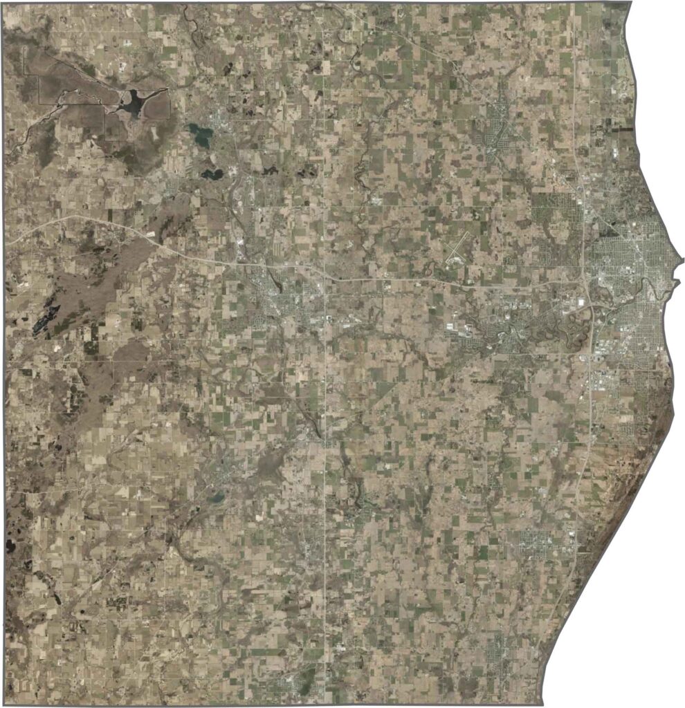
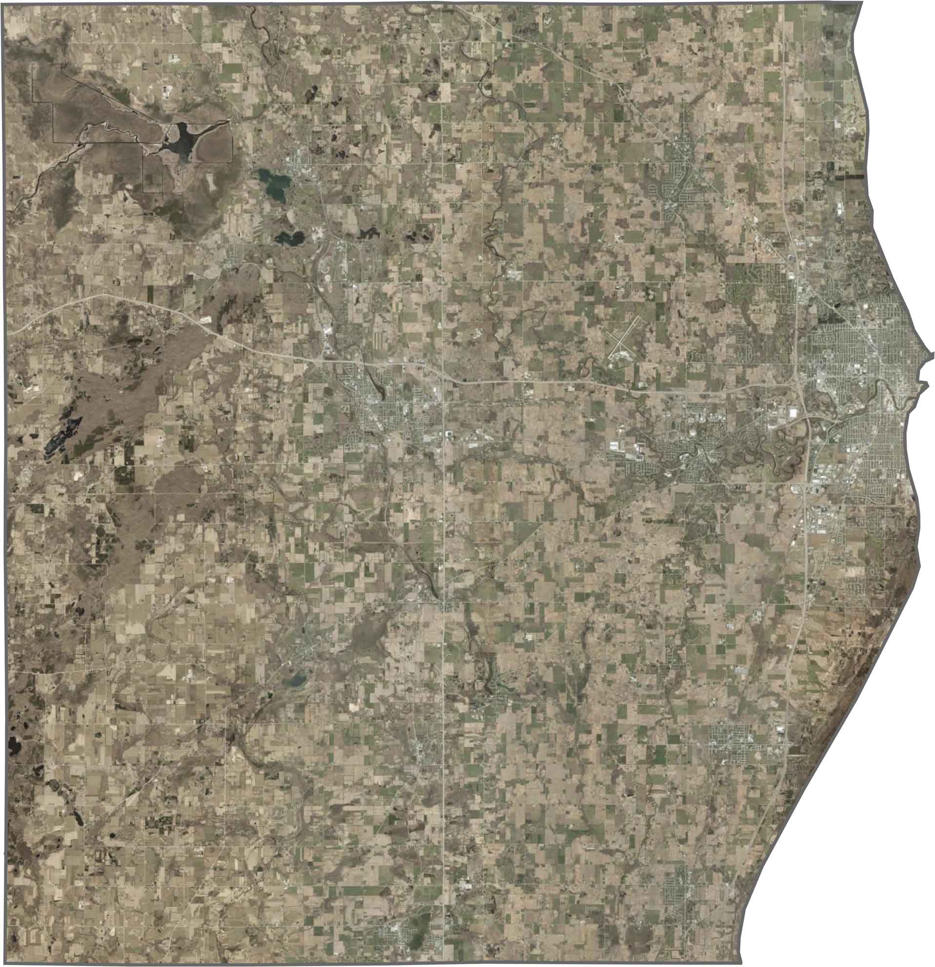
The satellite view of Sheboygan County highlights its scenic Lake Michigan shoreline, with the City of Sheboygan standing out along the eastern edge due to its dense residential, commercial, and industrial development. Inland, the landscape transitions into a mix of fertile farmland, forests, and rolling countryside, while the wooded ridges of the Kettle Moraine add natural beauty to the western portion of the county. This combination of lakeshore, green spaces, and agricultural land showcases the county’s diverse landscape and outdoor appeal.
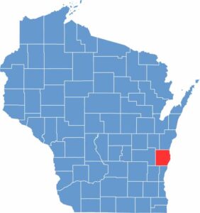
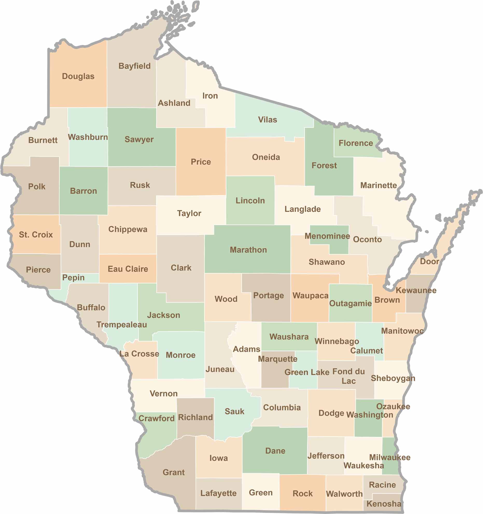
Sheboygan County is located in eastern Wisconsin, with its entire eastern border defined by the shoreline of Lake Michigan. The county borders Manitowoc, Calumet, Fond du Lac, Washington, and Ozaukee counties, making it an important part of Wisconsin’s Lake Michigan region. Its combination of a natural lakeshore boundary and land borders with neighboring counties gives Sheboygan County a distinctive shape and easy access to both coastal and inland destinations.







Wisconsin is known for its beer, cheese, and proud traditions, but the state’s 72 counties offer far more than familiar stereotypes. From the scenic shorelines of Lake Michigan and Lake Superior to sprawling dairy farms, dense forests, rolling bluffs, and picturesque river valleys, Wisconsin features an incredible variety of landscapes and communities.Each county has its own unique character, history, and attractions.