
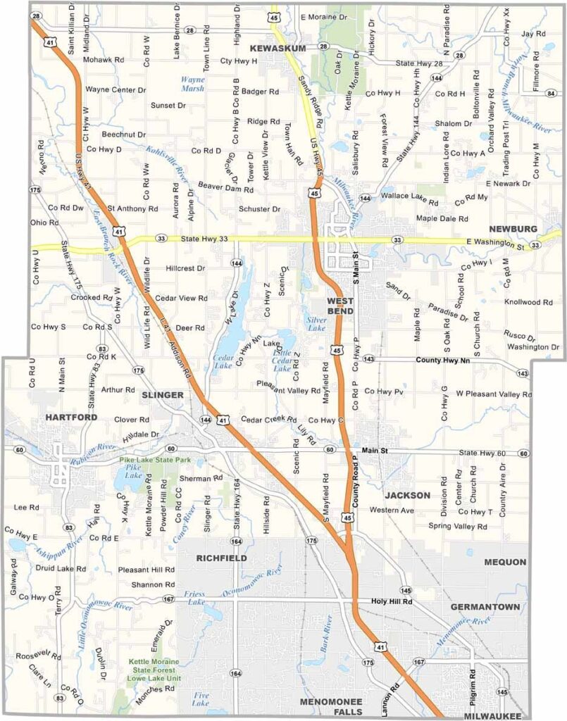
Washington County, Wisconsin is located in southeastern Wisconsin, just north of Milwaukee, and offers a perfect blend of scenic countryside, thriving communities, and outdoor recreation. The county is known for its rolling farmland, charming small towns, and the beautiful Kettle Moraine State Forest, making it a popular destination for nature lovers and weekend travelers.
The City of West Bend, the county seat, serves as the cultural and commercial center of Washington County, while communities like Germantown, Hartford, and Slinger provide a welcoming small-town atmosphere. Rich German heritage is reflected in the county’s historic churches, local festivals, traditional cuisine, and community celebrations that have been preserved for generations.
Visitors can explore the Museum of Wisconsin Art in West Bend, enjoy boating, fishing, and swimming at Big Cedar Lake, or hit the slopes at Little Switzerland during the winter months. With its parks, lakes, hiking trails, cultural attractions, and convenient location near Milwaukee, Washington County is one of the best places to visit and experience the natural beauty of southeastern Wisconsin.
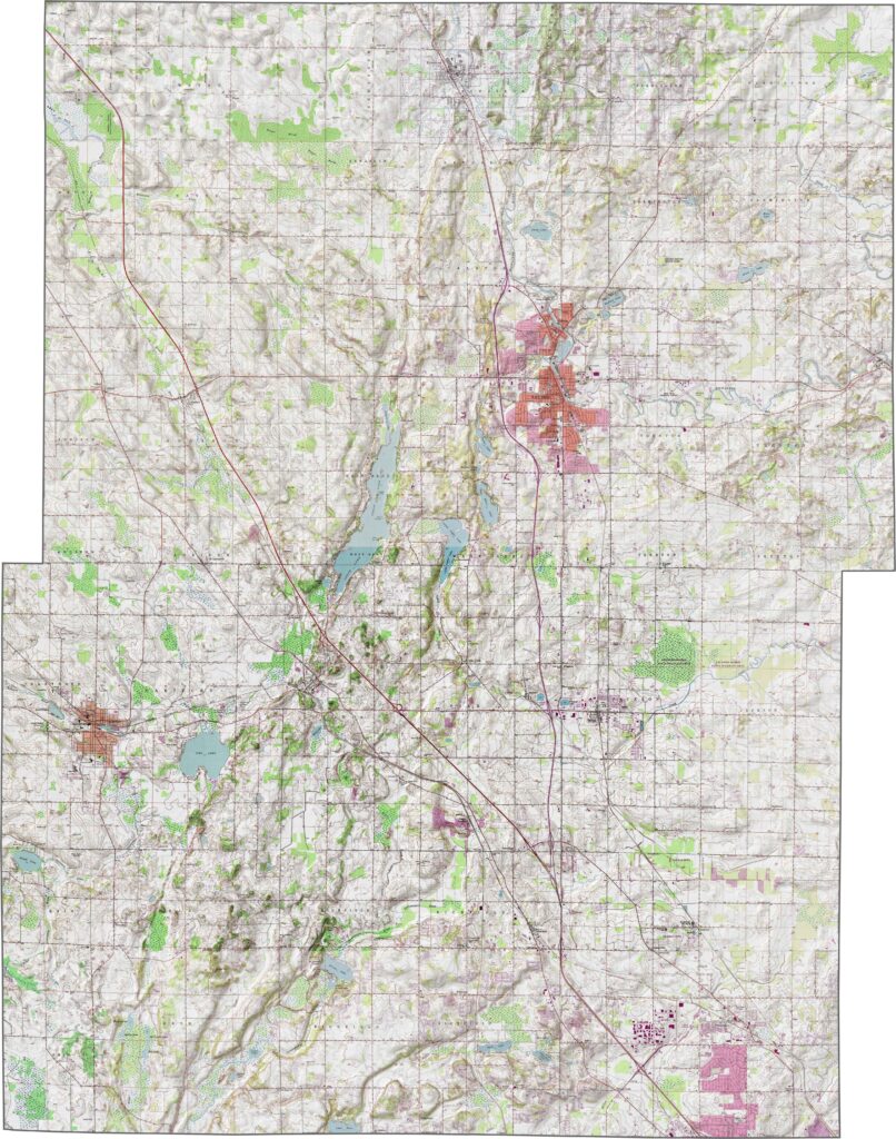
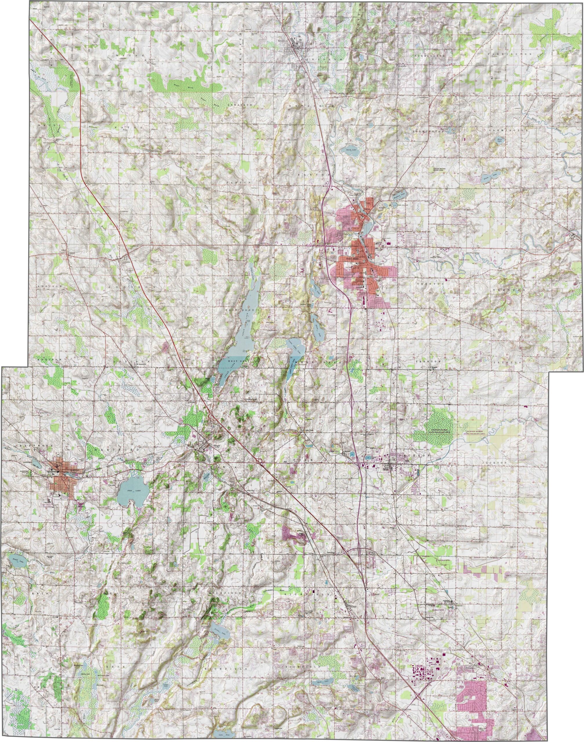
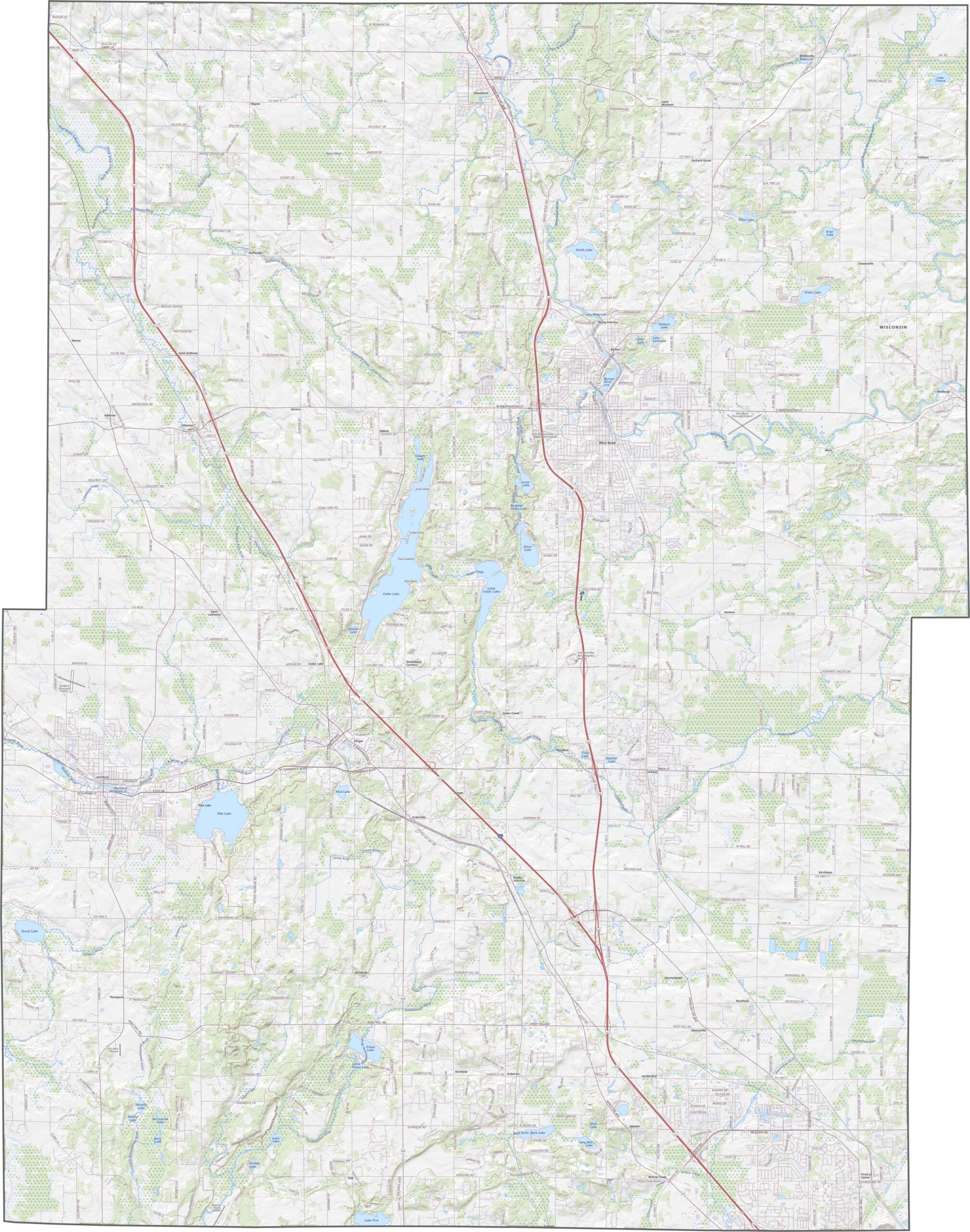
Washington County features a diverse landscape shaped by ancient glaciers, with the Kettle Moraine running through its southwestern region. The county is characterized by rolling hills, wooded ridges, glacial valleys, scenic lakes, and fertile farmland, creating a picturesque setting for outdoor recreation. This unique terrain makes Washington County a popular destination for hiking, biking, camping, wildlife viewing, and exploring the natural beauty of southeastern Wisconsin.
Interstate 41 is the primary highway serving Washington County, running from the southeast to the northwest and providing convenient access to Milwaukee, Fond du Lac, and nearby communities. A network of state highways and local roads connects the county’s cities, parks, lakes, and rural areas, making travel easy for residents and visitors. Use the interactive map below to explore Washington County’s highways, road network, and key destinations.
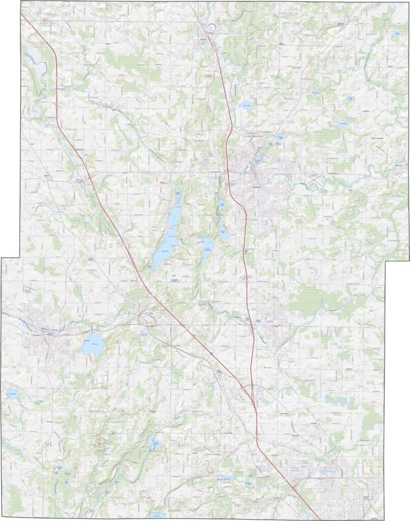
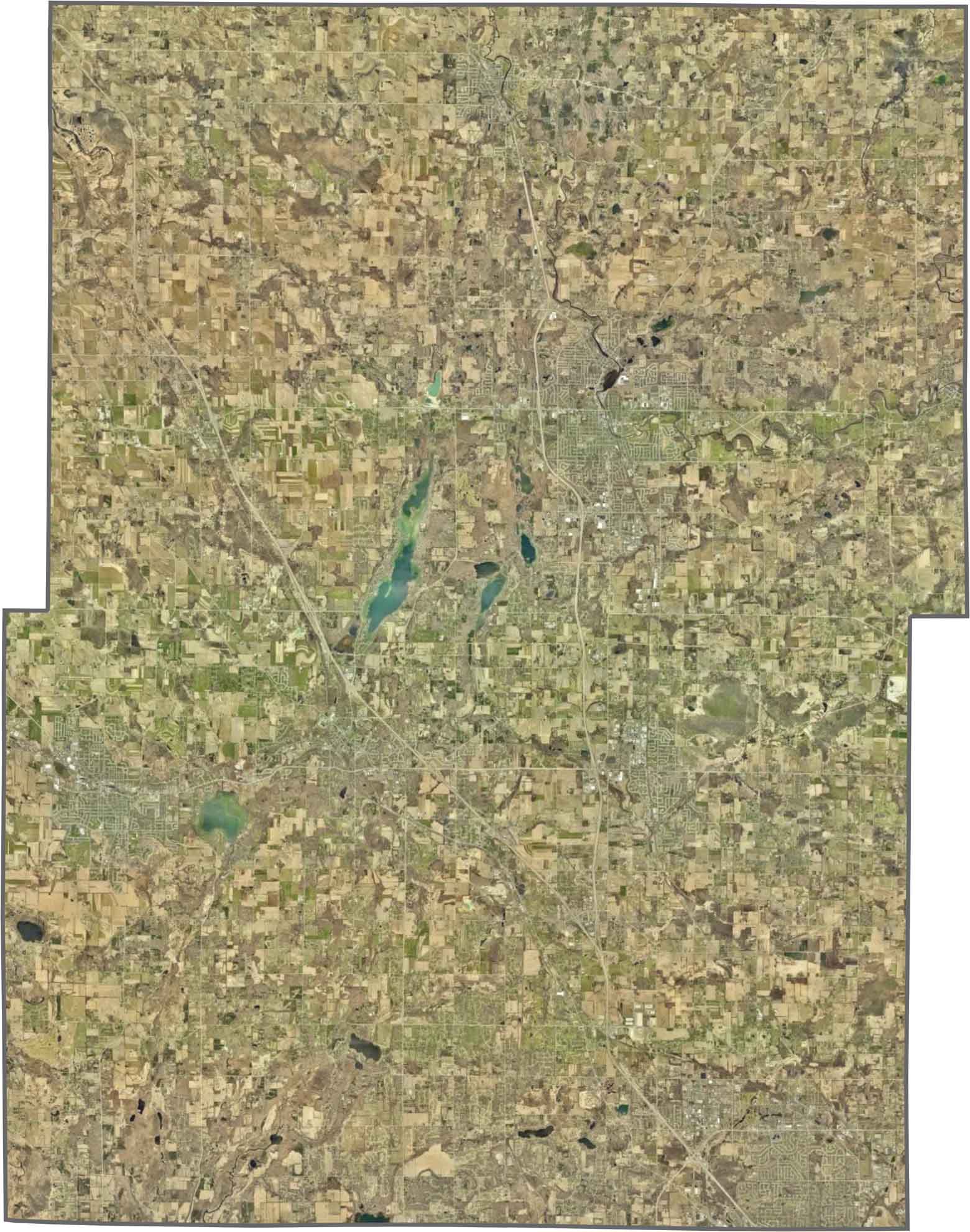
The satellite view of Washington County highlights a balanced mix of urban development and natural landscapes. West Bend, the county’s largest city, is easily visible near the center, surrounded by residential neighborhoods and commercial areas. To the west, the forested ridges of the Kettle Moraine create a scenic backdrop, while the rest of the county features rolling farmland, sparkling lakes, winding rivers, and expansive green spaces that showcase the region’s glacial beauty.
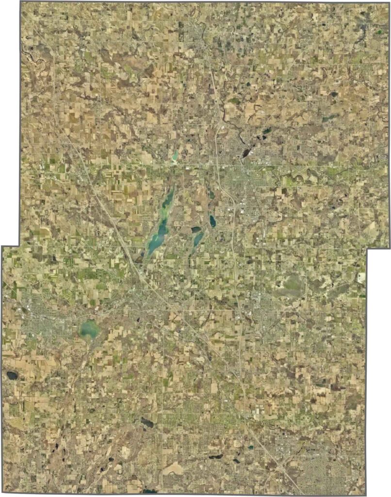
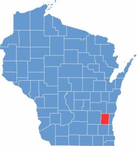
Washington County has a mostly rectangular shape with gently irregular edges and is located entirely within southeastern Wisconsin. The county borders Fond du Lac, Sheboygan, Ozaukee, Milwaukee, Waukesha, and Dodge counties, making it part of the greater Milwaukee metropolitan area. Since Washington County lies completely within Wisconsin, it does not share a border with another state, and most of its boundaries follow straight survey lines rather than natural features like rivers.







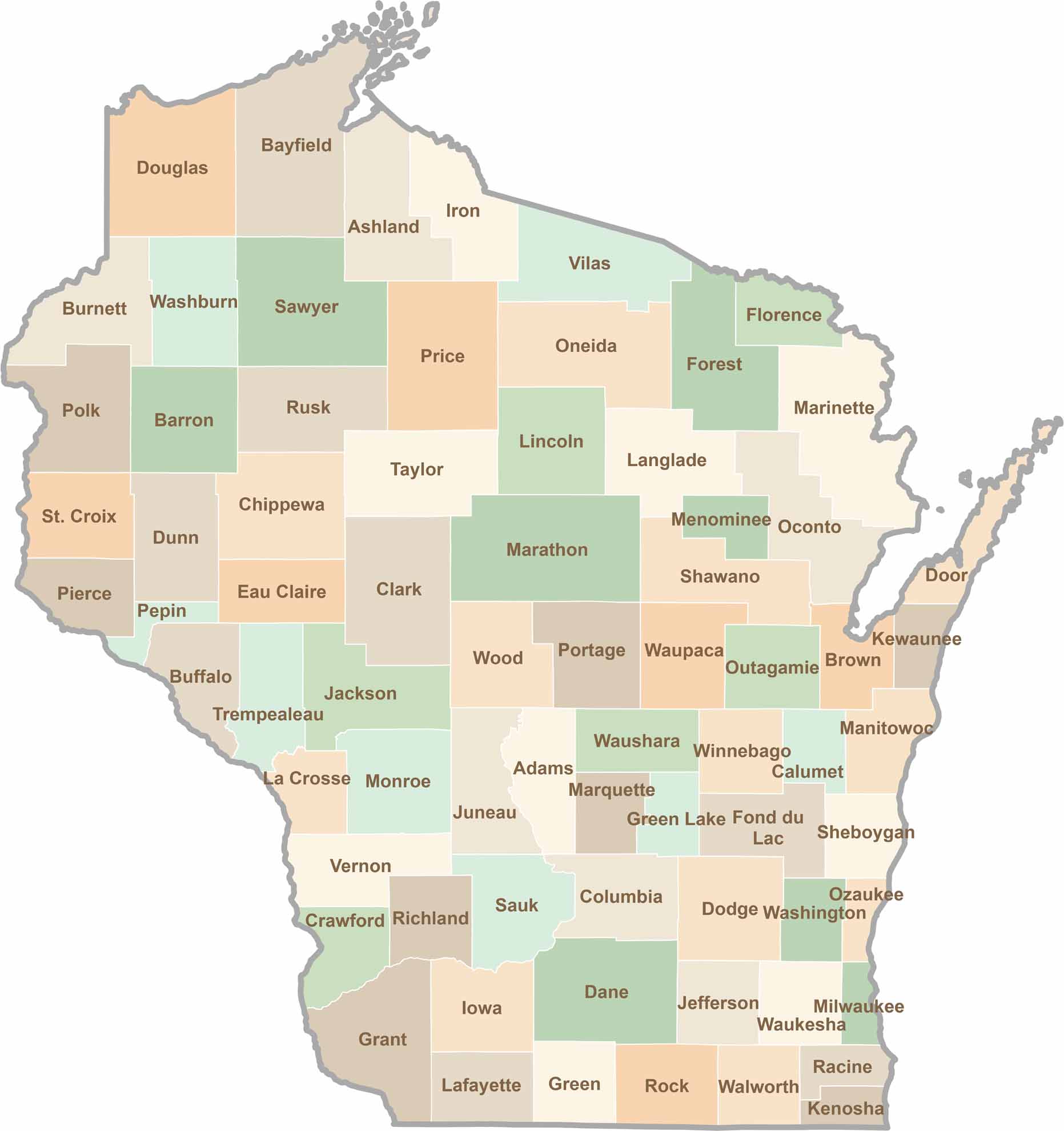
Wisconsin is known for its beer, cheese, and proud traditions, but the state’s 72 counties offer far more than familiar stereotypes. From the scenic shorelines of Lake Michigan and Lake Superior to sprawling dairy farms, dense forests, rolling bluffs, and picturesque river valleys, Wisconsin features an incredible variety of landscapes and communities.Each county has its own unique character, history, and attractions.