
Walworth County, Wisconsin is known for its scenic lakes, rolling hills, and picturesque countryside in southeastern Wisconsin. Home to the famous Geneva Lake, the county attracts visitors year-round with its crystal-clear waters, lakefront communities, and outdoor recreation. Popular destinations like the City of Lake Geneva have welcomed vacationers since the 19th century and remain among Wisconsin’s top travel spots.
Outdoor enthusiasts can enjoy hiking, biking, and wildlife watching on trails that wind through prairies, forests, and nature preserves. The county’s rich agricultural heritage is reflected in its family farms, orchards, berry-picking farms, and seasonal attractions such as corn mazes, pumpkin patches, and farmers markets, making it a favorite destination for family-friendly activities.
Visitors can also explore historic downtown districts, beautifully restored Victorian homes, and local museums that showcase Walworth County’s rich history. With its combination of lakes, outdoor adventures, charming small towns, and convenient location between Milwaukee and Chicago, Walworth County is one of the best places to visit for a relaxing getaway in Wisconsin.
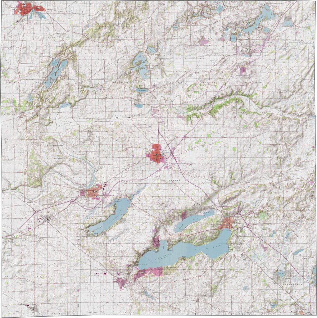
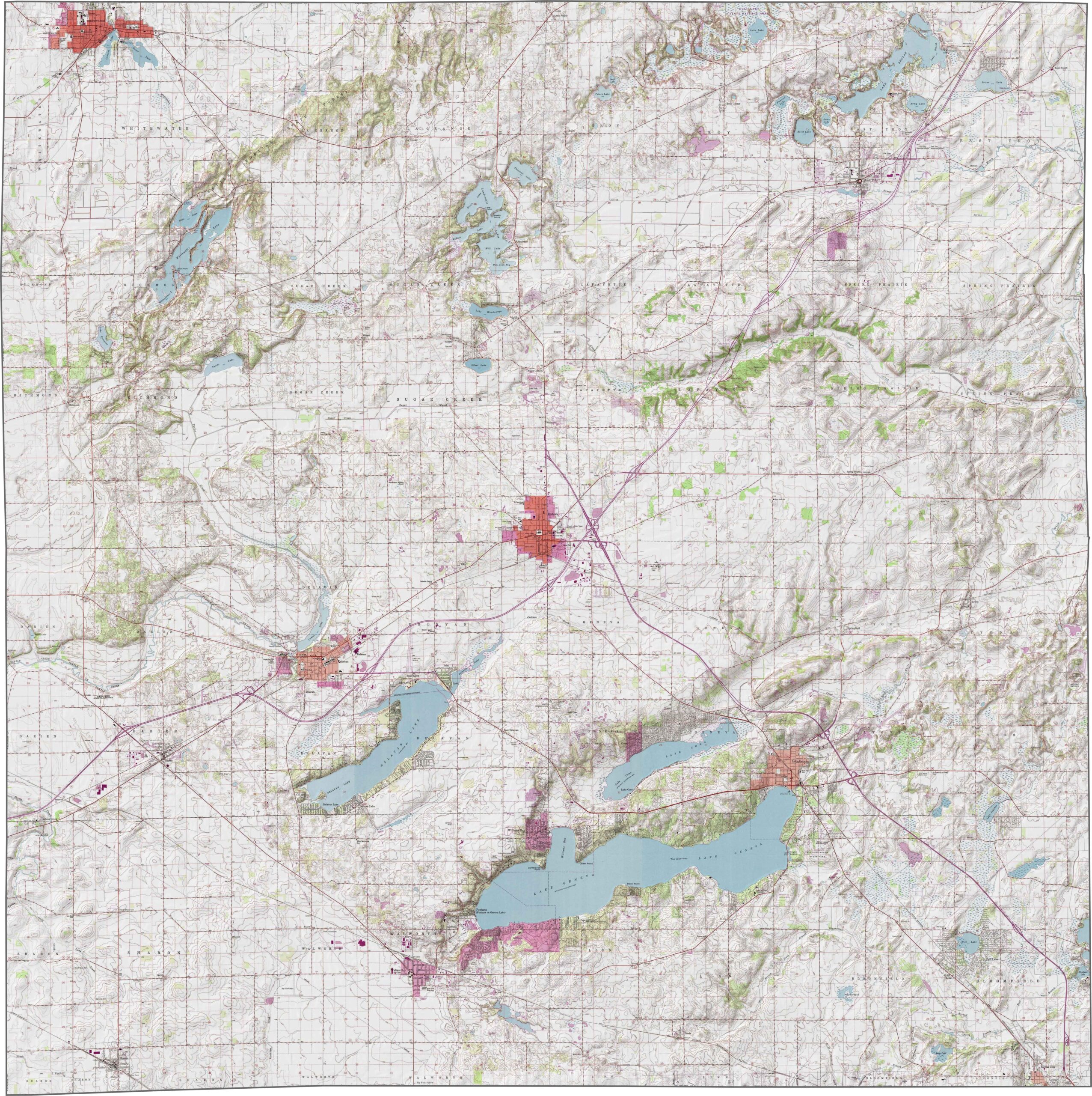
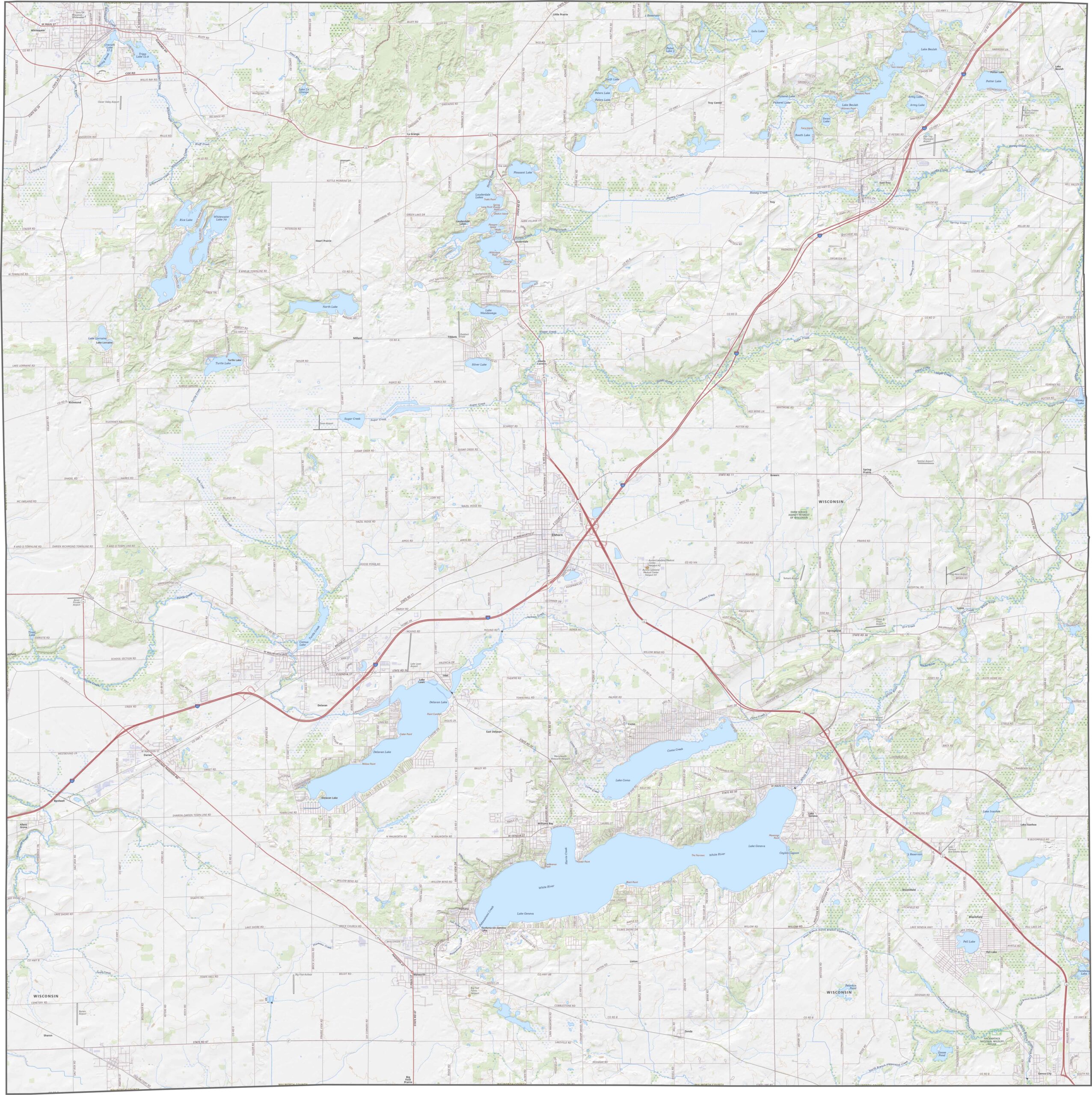
Walworth County features a scenic landscape of gently rolling hills, glacial ridges, and beautiful kettle lakes formed during the last Ice Age. Areas around Elkhorn and Lake Geneva showcase the county’s unique topography, with forests, wetlands, and fertile farmland adding to its natural beauty. Use the interactive zoom tool and topographic map below to explore Walworth County’s elevation changes, glacial landforms, and picturesque terrain.
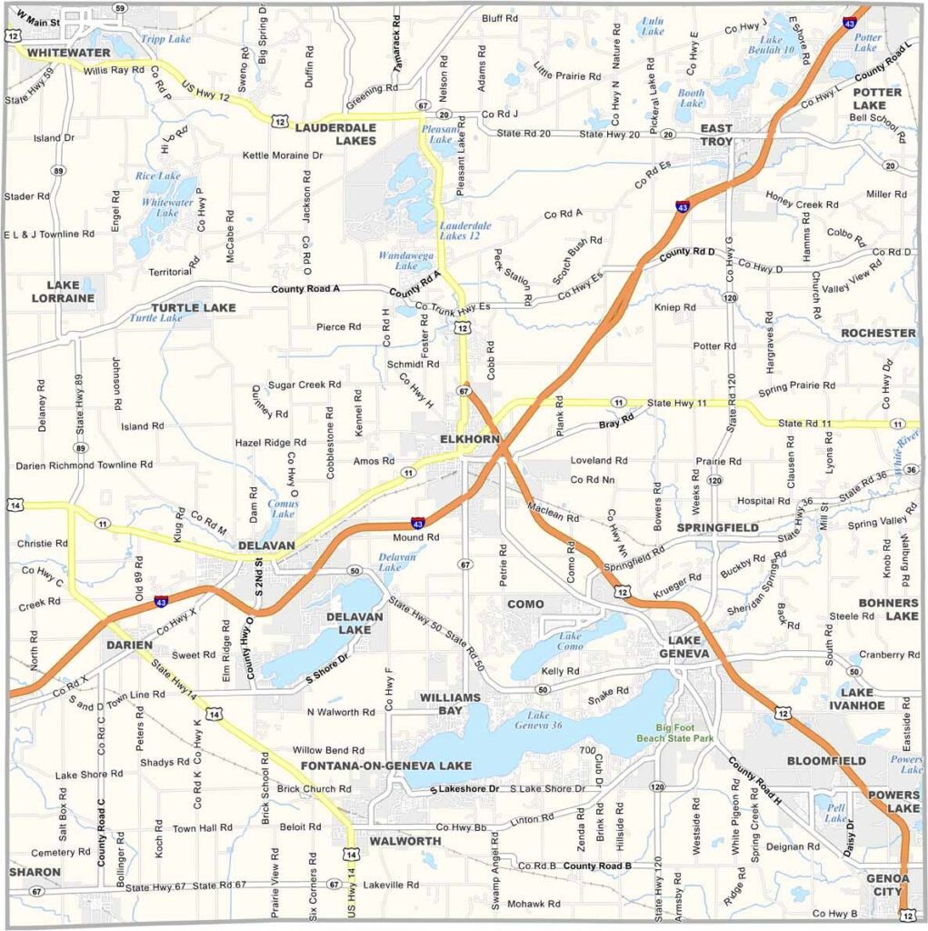
Interstate 43 is the primary highway serving Walworth County, providing convenient access to Milwaukee, Beloit, and nearby communities. A network of state highways and county roads connects the county’s cities, lakes, parks, and rural areas, with scenic routes winding around Geneva Lake and through the countryside. While traffic is often busiest near Lake Geneva, most of Walworth County offers smooth and convenient travel for residents and visitors.
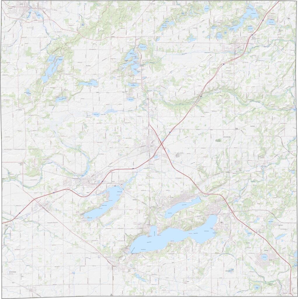
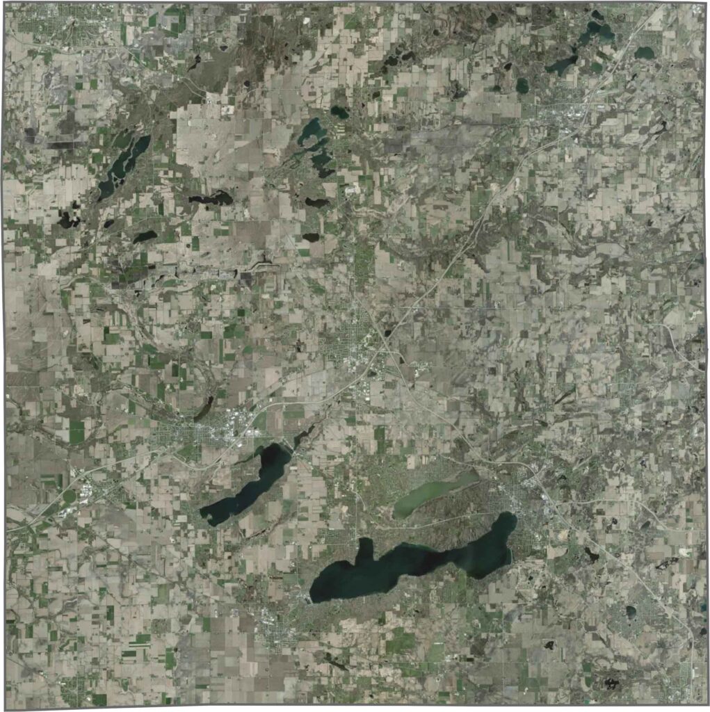
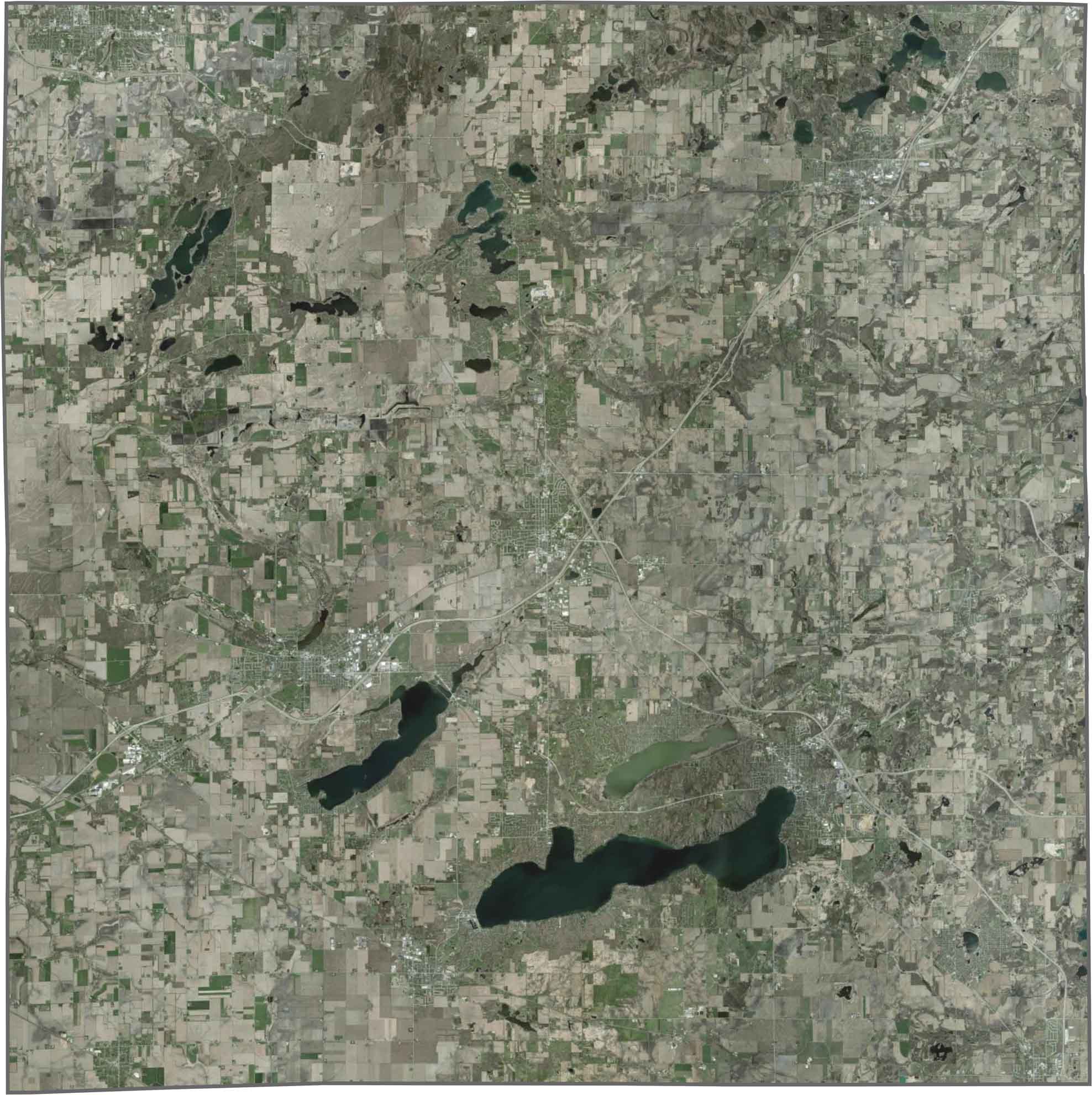
The satellite view of Walworth County highlights its abundance of lakes, rolling farmland, and scenic countryside. Geneva Lake is the county’s most prominent landmark, surrounded by lakeside homes, parks, and the vibrant community of Lake Geneva. Other major lakes, including Lake Como and Delavan Lake, are also easily visible, while the rest of the county features a patchwork of agricultural fields, wooded areas, and rural landscapes that reflect its rich farming heritage and natural beauty.
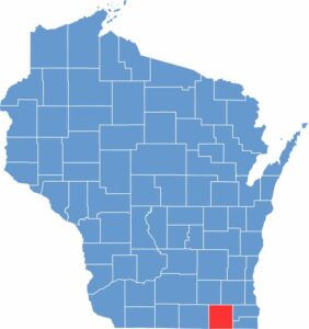
Walworth County has a mostly square shape and is located in southeastern Wisconsin, with its southern border forming part of the Wisconsin–Illinois state line. The county borders Rock, Jefferson, Waukesha, and Racine counties in Wisconsin, along with McHenry and Boone counties in Illinois. Although its outline includes a few gentle curves and irregular sections, Walworth County maintains a largely rectangular shape.







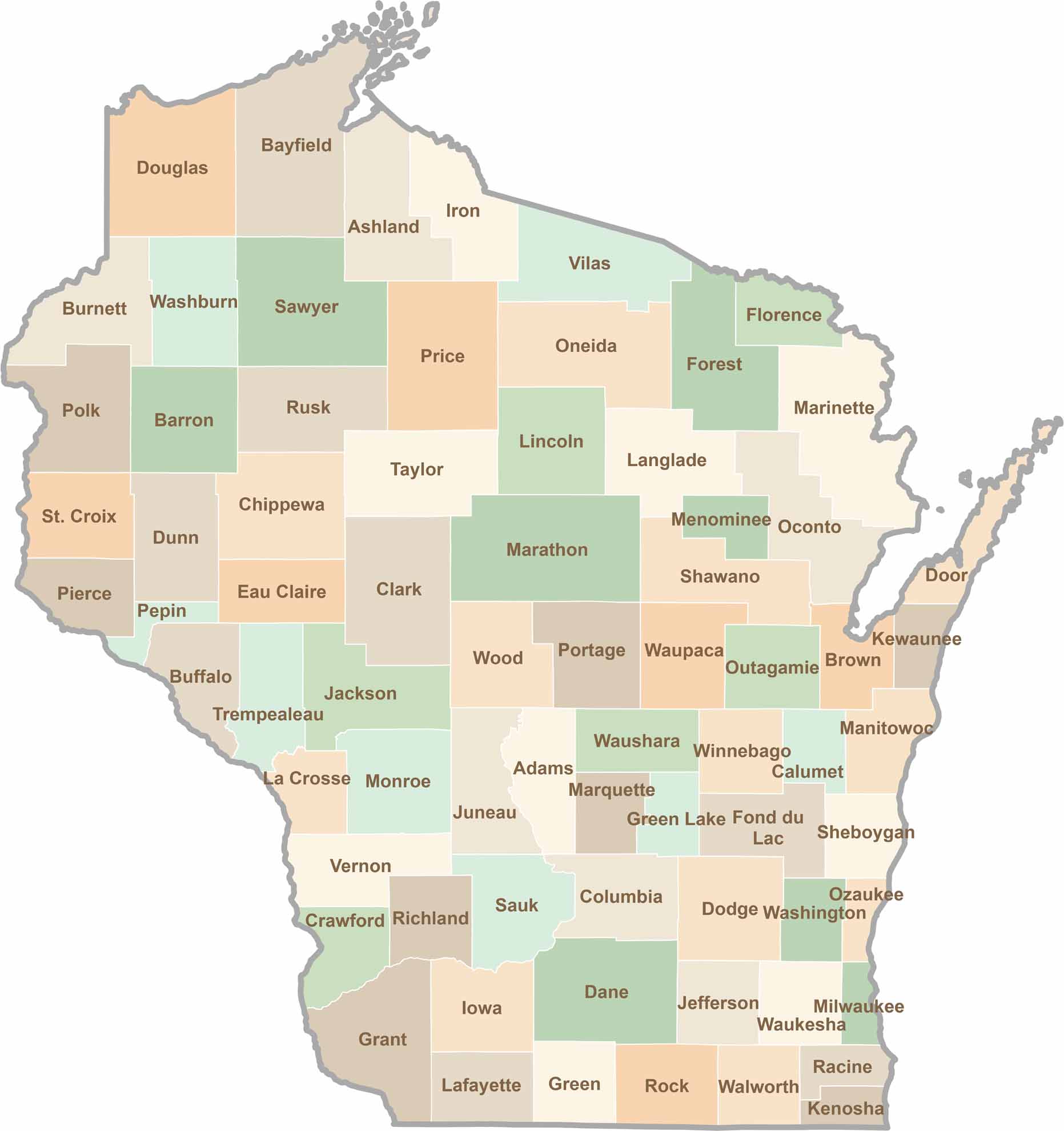
Wisconsin is known for its beer, cheese, and proud traditions, but the state’s 72 counties offer far more than familiar stereotypes. From the scenic shorelines of Lake Michigan and Lake Superior to sprawling dairy farms, dense forests, rolling bluffs, and picturesque river valleys, Wisconsin features an incredible variety of landscapes and communities.Each county has its own unique character, history, and attractions.