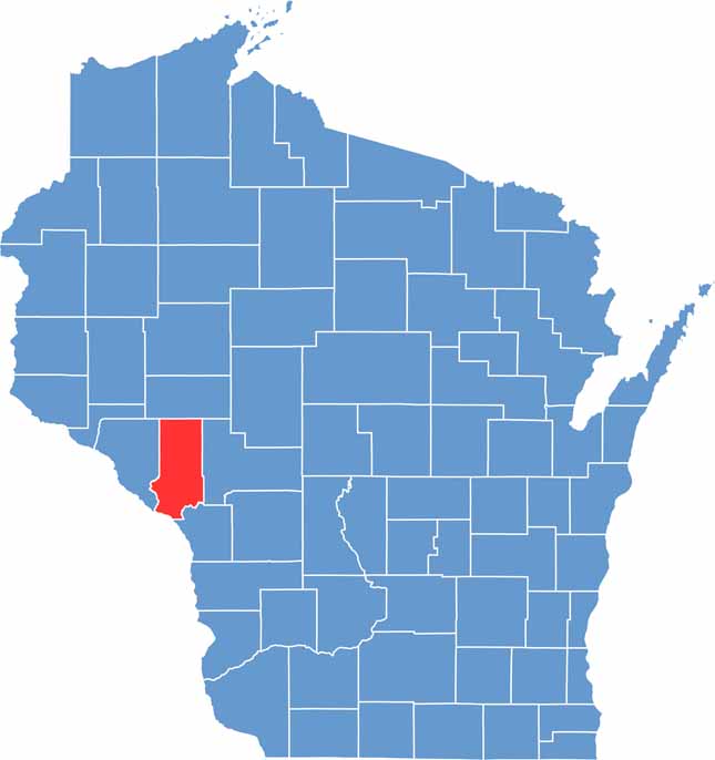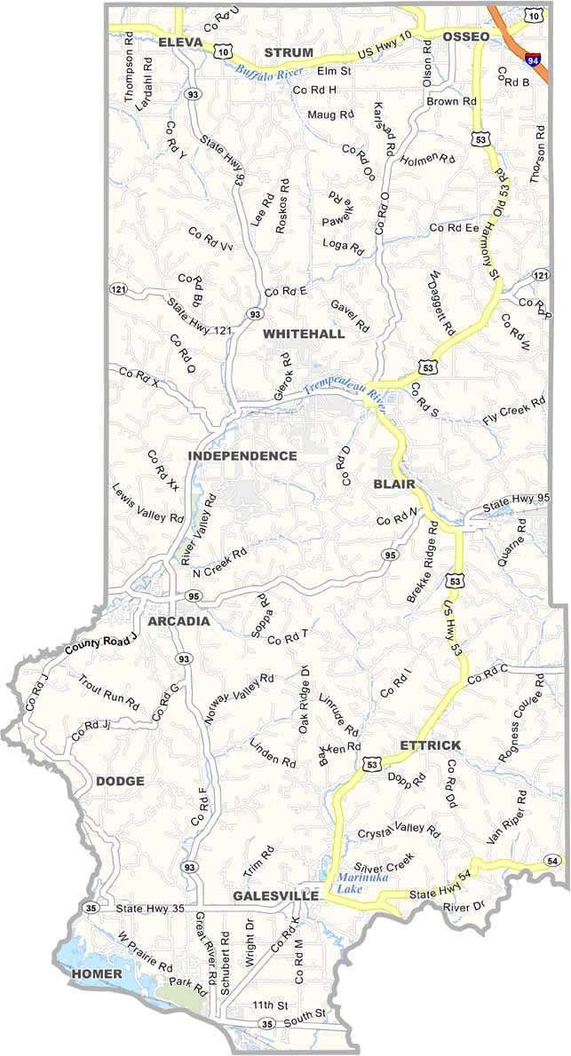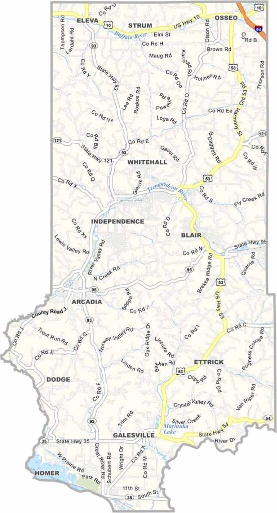
Trempealeau County stretches along the Mississippi River in western Wisconsin, known for its dramatic bluffs, winding waterways, and scenic countryside. The county’s name comes from the French phrase “trempe à l’eau,” meaning “dip in the water,” which feels fitting for a place surrounded by rivers and streams.
The Great River State Trail is a popular destination for cyclists, hikers, and outdoor enthusiasts. Vineyards and wineries can be found across the hillsides, taking advantage of the area’s unique growing conditions. The county also has a deep Native American history, with ancient effigy mounds still visible in several locations.
Winters can be cold and snowy, but the sight of snow-covered bluffs makes the season worthwhile. The Trempealeau National Wildlife Refuge is especially popular with birdwatchers and nature lovers. Small communities scattered throughout the county add to its relaxed, friendly atmosphere.