Crenshaw County Map Download Alabama – Outline Map and Blank Map

Crenshaw County Map Download Alabama – Outline Map and Blank Map

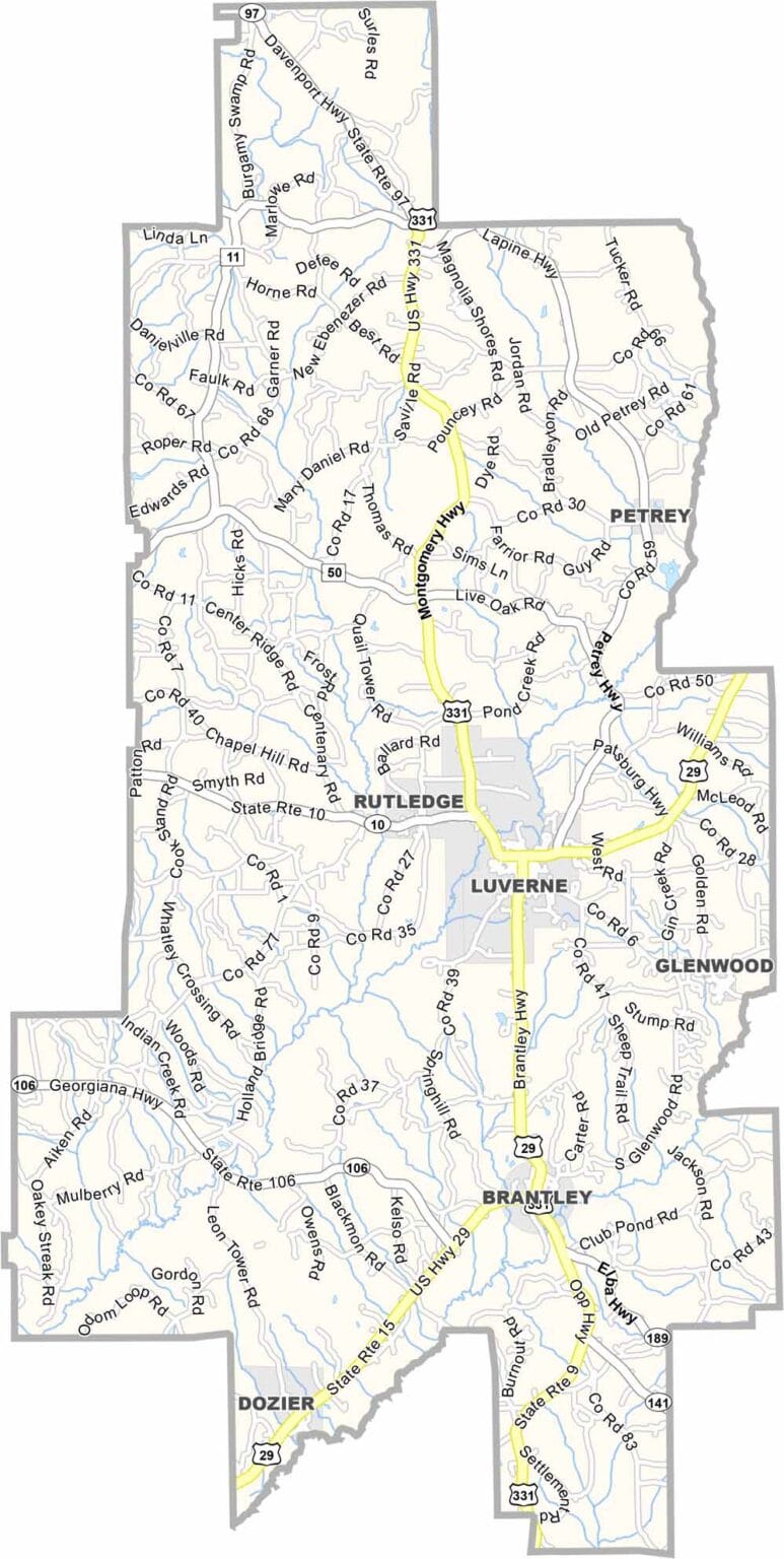
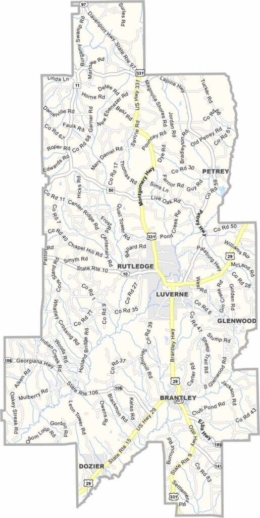
Crenshaw County map showing boundaries and locations in Alabama.

Crenshaw County, Alabama

Crenshaw County is a quiet part of southern Alabama where life moves at a relaxed pace. Luverne, known as the “Friendliest City in the South,” serves as the county seat.

With a population of just under 14,000, the county is closely tied to agriculture, with cotton, peanuts, and timber forming the backbone of the local economy. Each year, the Peanut Boil Festival brings the community together for food, music, and celebration.

U.S. Highway 331 runs through the county, linking it to larger cities such as Montgomery. The historic Brantley Bank and Trust building also stands as a notable landmark, reflecting the area’s local history and heritage.
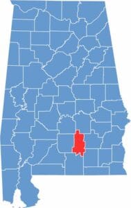

Crenshaw County location map showing its position in Alabama.
Category Details
County Name Crenshaw County
County Seat Luverne
Cities, Towns, and Communities Luverne, Brantley, Rutledge, Glenwood, Dozier, Petrey, Honoraville
Interstates and Highways U.S. Highway 331, U.S. Highway 29, State Route 10, State Route 97
Etymology Named after Judge Anderson Crenshaw, a prominent Alabama jurist
FIPS Code 01-041
Total Area (Land and Water) 611 square miles (Land: 609 sq mi, Water: 2 sq mi)
Time Zone Central Time Zone (CT)
State Alabama
Coordinates 31.7186° N, 86.3014° W
Major Landmarks Brantley Bank and Trust building, Peanut Boil Festival, Luverne Park, Douglas Lake
Adjacent Counties (and Direction) Montgomery County (North), Pike County (East), Coffee County (Southeast), Covington County (South), Butler County (West), Lowndes County (Northwest)
Population Approximately 14,000
Scroll to Top