DeKalb County Map Download Alabama – Outline Map and Blank Map

DeKalb County Map Download Alabama – Outline Map and Blank Map

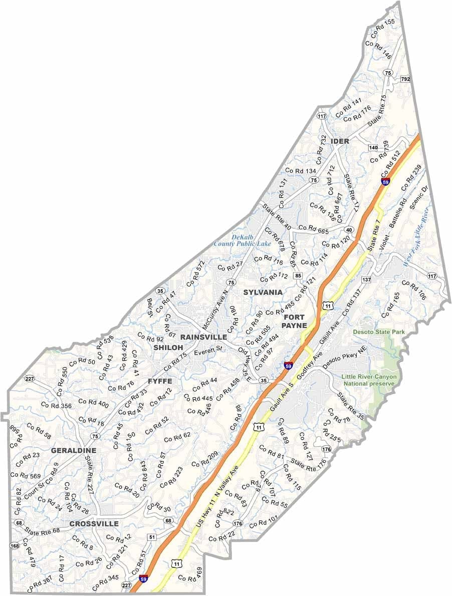
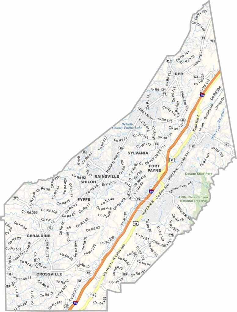
DeKalb County Map Alabama

DeKalb County, Alabama

DeKalb County is located in northeastern Alabama, with Fort Payne serving as the county seat. It was once known as the “Sock Capital of the World” because of its many hosiery mills that played a major role in the local economy.

The county is also the hometown of the country music group Alabama, and fans can visit a museum dedicated to the band in Fort Payne. Beyond its musical roots, DeKalb County is rich in natural beauty, featuring attractions like Little River Canyon National Preserve and DeSoto State Park.

With a population of around 73,000, the county is easily accessible via U.S. Highway 11 and Interstate 59. It is named after Major General Baron Johann de Kalb, a German officer who served in the American Revolutionary War.
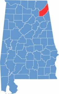

DeKalb County Location Map Alabama
Category Details
County Name DeKalb County
County Seat Fort Payne
Cities, Towns, and Communities Fort Payne, Rainsville, Collinsville, Crossville, Fyffe, Geraldine, Henagar, Ider, Mentone, Sylvania, Valley Head, Hammondville, Pine Ridge
Interstates and Highways Interstate 59, U.S. Highway 11, U.S. Highway 431, State Route 35, State Route 75, State Route 68
Etymology Named after Major General Johann de Kalb, an officer who served in the Continental Army during the American Revolutionary War
FIPS Code 01-049
Total Area (Land and Water) 779 square miles (Land: 777 sq mi, Water: 2 sq mi)
Time Zone Central Time Zone (CT)
State Alabama
Coordinates 34.4597° N, 85.8077° W
Major Landmarks Little River Canyon National Preserve, DeSoto State Park, Fort Payne Depot Museum, Mentone, Alabama Fan Club and Museum
Adjacent Counties (and Direction) Jackson County (North), Dade County, Georgia (Northeast), Walker County, Georgia (East), Chattooga County, Georgia (East), Cherokee County (Southeast), Etowah County (South), Marshall County (West)
Population Approximately 73,000
Scroll to Top