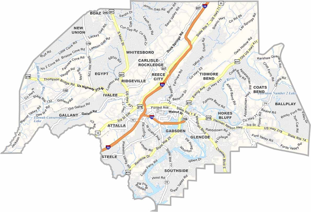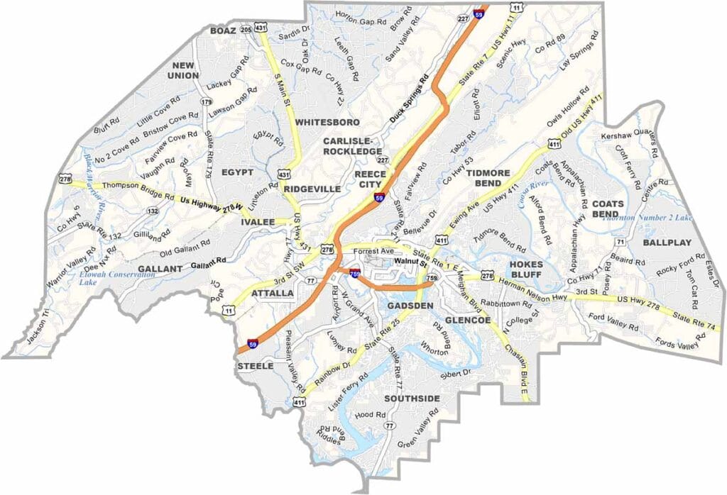
Etowah County Map Download Alabama – Outline Map and Blank Map

Etowah County Map Download Alabama – Outline Map and Blank Map

Etowah County maps showing boundaries and locations in Alabama.

Etowah County, Alabama

Etowah County is located in northeastern Alabama, with Gadsden serving as its largest city. The county played an important role in the state’s industrial history, and traces of its steel mill past can still be seen today.

The Coosa River flows through the county, while Noccalula Falls Park features a stunning 90-foot waterfall tied to a well-known Cherokee legend. Gadsden also hosts the annual Riverfest, drawing music fans from across the region.

Scenic drives along the Lookout Mountain Parkway offer beautiful views, and cultural attractions like the Gadsden Museum of Art and the Imagination Place Children’s Museum add to the area’s appeal. In Etowah County, industry and natural beauty come together side by side.
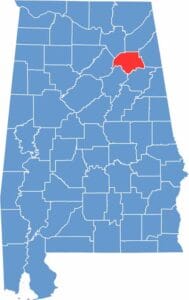

Etowah County location map showing its position in Alabama.
Category Details
County Name Etowah County
County Seat Gadsden
Cities, Towns, and Communities Gadsden, Attalla, Glencoe, Rainbow City, Southside, Hokes Bluff, Altoona, Reece City, Ridgeville, Sardis City, Walnut Grove
Interstates and Highways Interstate 59, U.S. Highway 411, U.S. Highway 278, U.S. Highway 431, State Route 77, State Route 132
Etymology Derived from Etowah Indian Mounds, found in the area
FIPS Code 01-055
Total Area (Land and Water) 549 square miles (Land: 535 sq mi, Water: 14 sq mi)
Time Zone Central Time Zone (CT)
State Alabama
Coordinates 34.0167° N, 86.0066° W
Major Landmarks Noccalula Falls Park, Coosa River, James D. Martin Wildlife Park, Gadsden Museum of Art, Imagination Place Children’s Museum
Adjacent Counties (and Direction) DeKalb County (North), Cherokee County (East), Calhoun County (Southeast), St. Clair County (Southwest), Blount County (West), Marshall County (Northwest)
Population Approximately 104,000
Scroll to Top