Greene County Map Download Alabama – Outline Map and Blank Map

Greene County Map Download Alabama – Outline Map and Blank Map

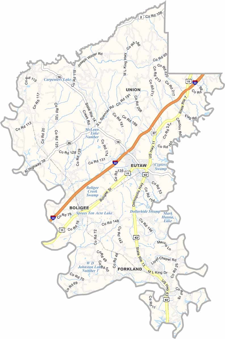
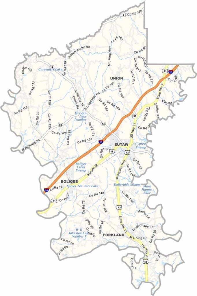
Greene County maps showing boundaries and locations in Alabama.

Greene County, Alabama

Greene County is located in west-central Alabama, with Eutaw serving as the county seat. With a population of around 8,000, it is one of the least populated counties in the state.

The Tombigbee River forms the county’s western boundary, offering opportunities for fishing and boating. Nature enthusiasts, especially birdwatchers, are drawn to the Sipsey River Swamp, a vast and untamed area rich in wildlife.

U.S. Highways 11 and 43 run through the county, connecting Eutaw to other parts of Alabama. Greene County is a place where history feels ever-present, and much of the landscape remains largely untouched.
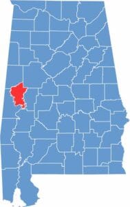

Greene County location map showing its position in Alabama.
Category Details
County Name Greene County
County Seat Eutaw
Cities, Towns, and Communities Eutaw, Forkland, Union, Boligee, Knoxville, Mantua, Clinton, Jena
Interstates and Highways Interstate 20/59, U.S. Highway 11, State Route 14, State Route 39, State Route 43
Etymology Named after General Nathanael Greene, a hero of the American Revolutionary War
FIPS Code 01-063
Total Area (Land and Water) 660 square miles (Land: 647 sq mi, Water: 13 sq mi)
Time Zone Central Time Zone (CT)
State Alabama
Coordinates 32.8474° N, 87.9566° W
Major Landmarks Old Greene County Courthouse, Kirkwood Plantation, Greenetrack (gaming facility), Sipsey River Swamp
Adjacent Counties (and Direction) Pickens County (North), Tuscaloosa County (Northeast), Hale County (East), Marengo County (South), Sumter County (Southwest)
Population Approximately 8,000
Scroll to Top