Randolph County Map Download Alabama – Outline Map and Blank Map

Randolph County Map Download Alabama – Outline Map and Blank Map

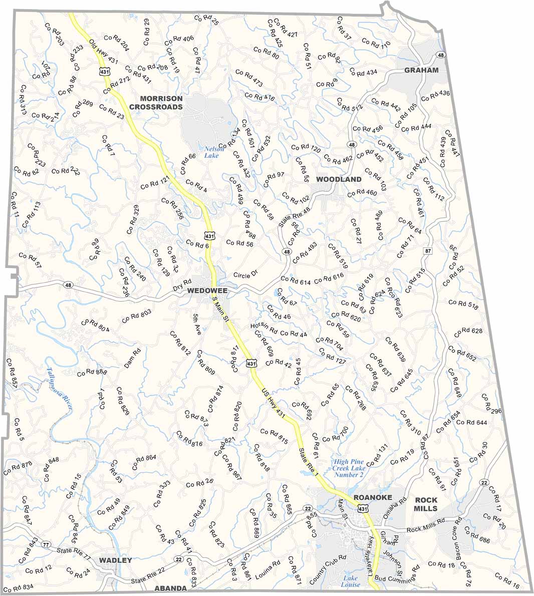
Randolph County map showing boundaries and locations in Alabama.

Randolph County, Alabama

Randolph County is located in eastern Alabama, bordering the state of Georgia. Its county seat is Wedowee, and the county has a population of around 22,000 residents. Agriculture, especially cattle and poultry farming, forms the main base of the local economy.

The Talladega National Forest touches only the northwestern edge of the county, but even this small section adds natural beauty and access to outdoor recreation. The area is also near Alabama’s highest elevations, offering several hiking opportunities.

Lake Wedowee, created by damming the Little Tallapoosa River, is a popular destination for fishing and boating. U.S. Highway 431 runs through the county, improving connectivity while maintaining its rural character.
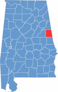

Randolph County location map showing its position in Alabama.
Category Details
County Name Randolph County
County Seat Wedowee
Cities, Towns, and Communities Roanoke, Wedowee, Wadley, Woodland, Rock Mills, Corinth, Newell, Morrison Crossroads
Interstates and Highways U.S. Highway 431, State Route 22, State Route 48, State Route 77
Etymology Named after John Randolph, a U.S. Senator from Virginia known for his advocacy of states’ rights
FIPS Code 01-111
Total Area (Land and Water) 584 square miles (Land: 581 sq mi, Water: 3 sq mi)
Time Zone Central Time Zone (CT)
State Alabama
Coordinates 33.3006° N, 85.4572° W
Major Landmarks Lake Wedowee (R.L. Harris Reservoir), Flat Rock Park, Historic Downtown Roanoke, Southern Union State Community College (Wadley campus), Randolph County Courthouse
Adjacent Counties (and Direction) Cleburne County (North), Carroll County, Georgia (Northeast), Heard County, Georgia (East), Troup County, Georgia (Southeast), Chambers County (South), Tallapoosa County (Southwest), Clay County (West)
Population Approximately 22,000
Scroll to Top