
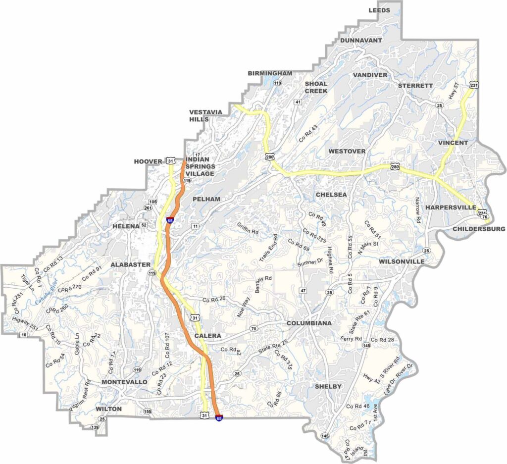
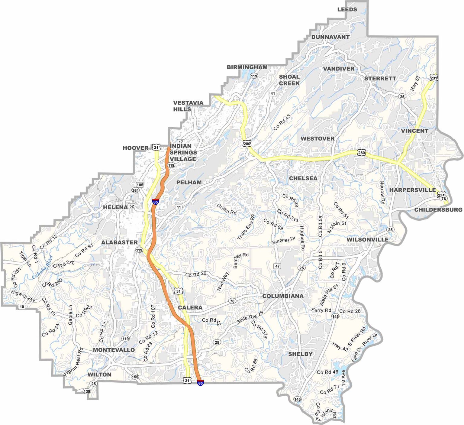
Shelby County extends southeast from Birmingham. Its county seat is Columbiana, and the county has a population of over 225,000 residents. U.S. Highway 280 and Interstate 65 provide convenient transportation and commuting access throughout the area.
Oak Mountain State Park, Alabama’s largest state park, offers miles of scenic trails along with a beach area on Double Oak Lake, making it a popular destination for outdoor recreation.
In Montevallo, The American Village brings colonial and Revolutionary War history to life through interactive exhibits and costumed interpreters.
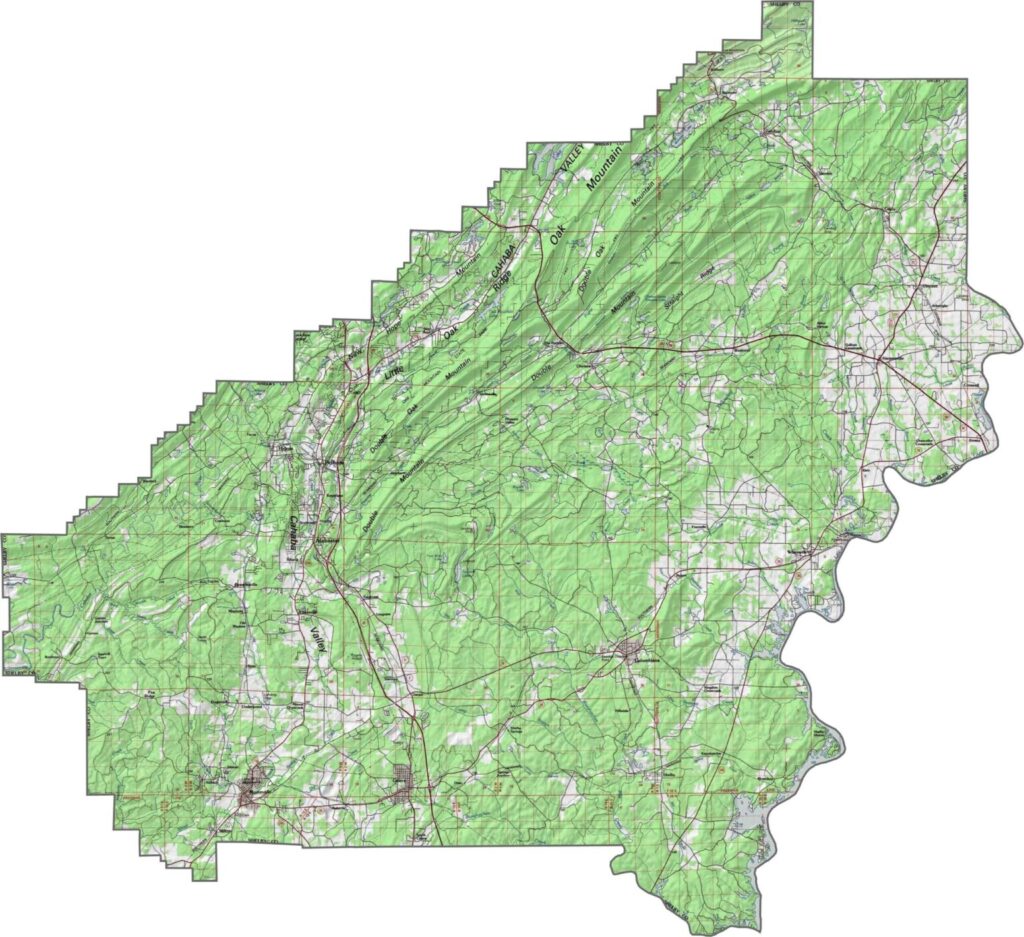
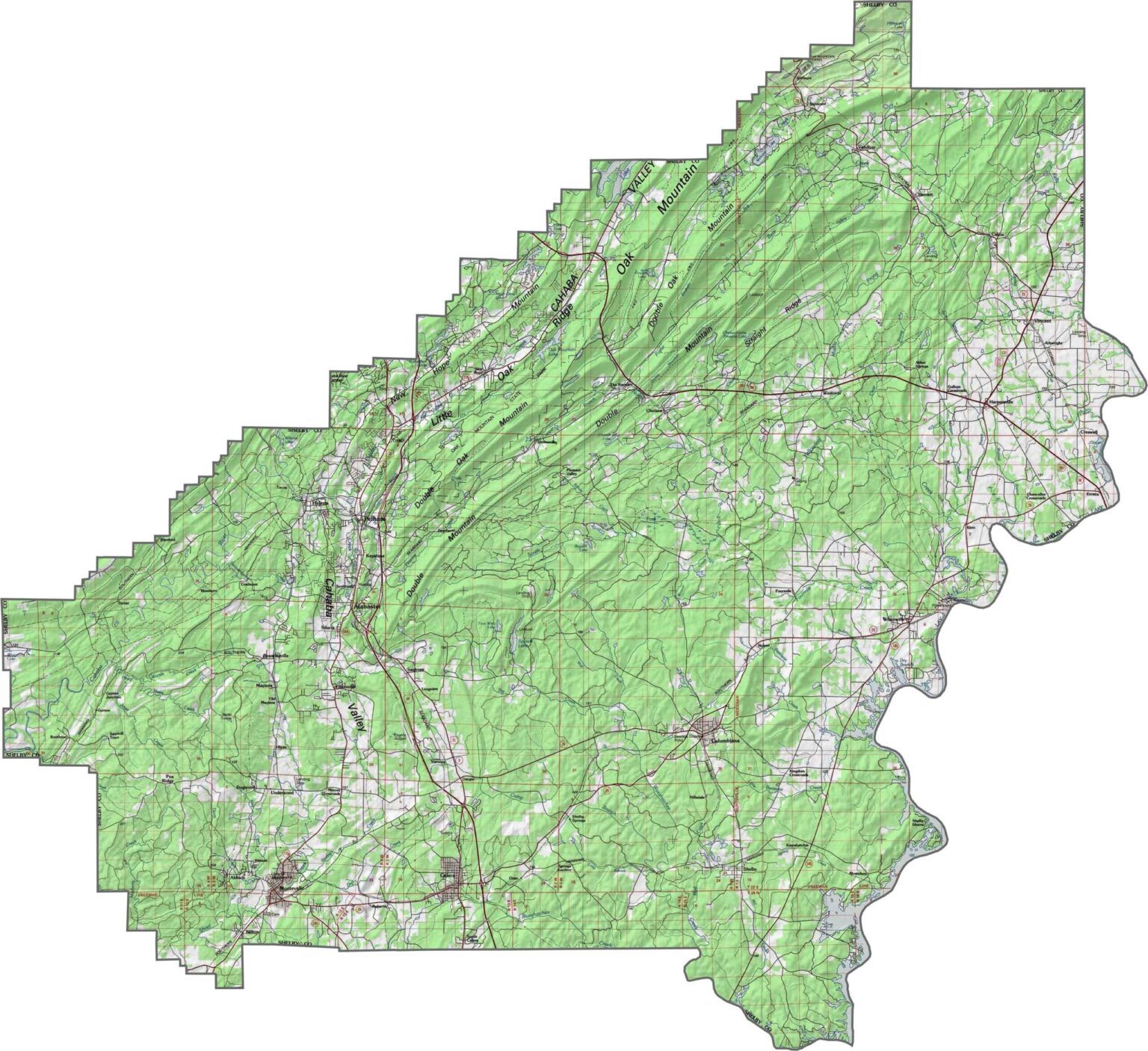
This topographic map highlights Shelby County’s hills, rivers, and valleys. The contour lines provide a clear view of the county’s varied terrain and changes in elevation.
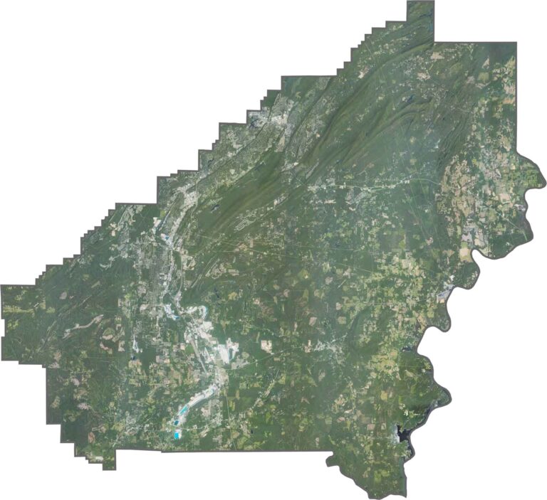
This satellite map shows Shelby County’s cities, forests, lakes, and other natural features. It also provides a detailed view of the county’s gently rolling landscape in the northeast.
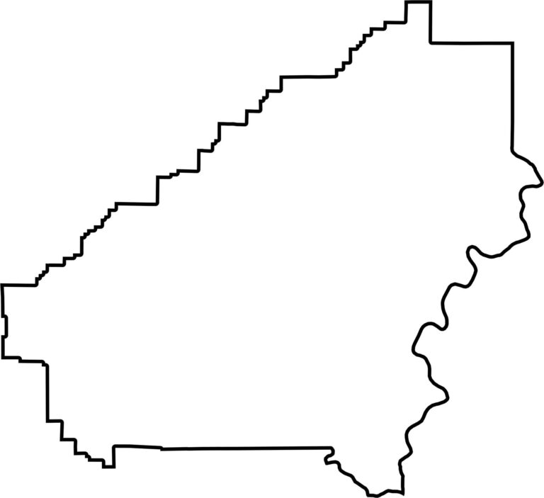
This blank map outlines Shelby County’s shape and boundaries. Its clean, simple design makes it useful for planning, marking locations, or exploring the county’s overall layout.








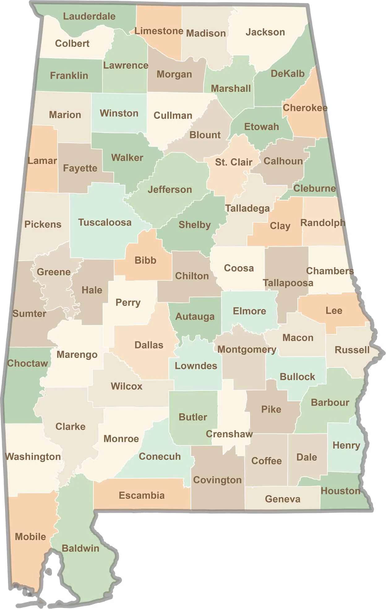
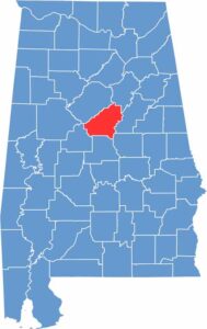
Discover Alabama county by county with our detailed Alabama county map. Easily explore county boundaries across the state—ideal for travel planning, local research, or satisfying your curiosity.