
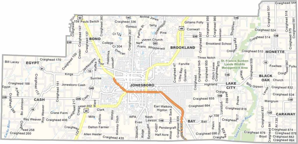
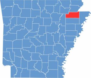
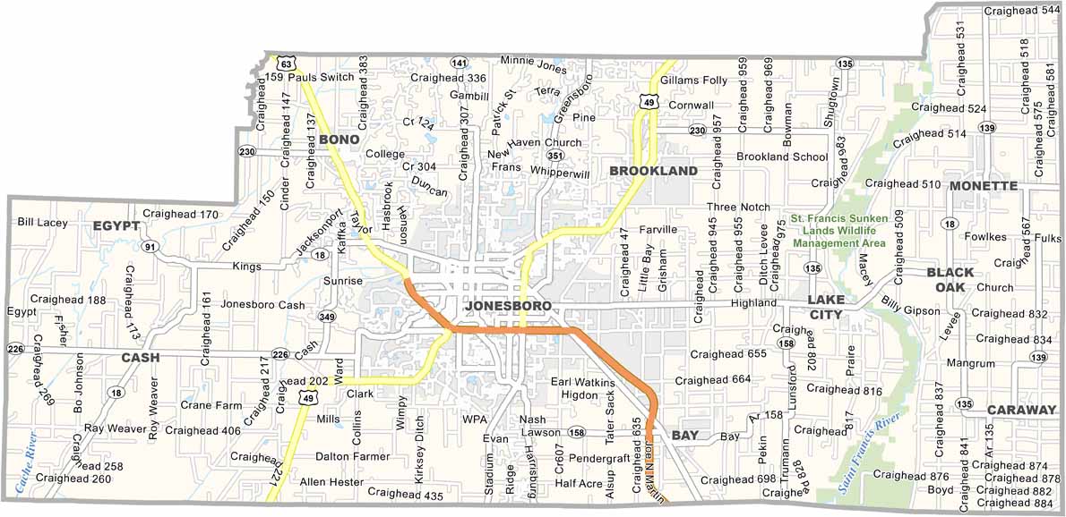
Craighead County is located in northeast Arkansas and is home to Jonesboro, the fifth-largest city in the state. Jonesboro is also home to Arkansas State University, which brings a diverse mix of students and cultures to the area.
The Crowley’s Ridge Parkway runs through the county, offering a scenic drive along an unusual geological formation. Craighead County is also a major agricultural center, particularly for rice production.
Craighead Forest Park is a popular destination for outdoor recreation. Its 60-acre lake provides opportunities for fishing and boating, while the park’s trails are ideal for hiking and biking.
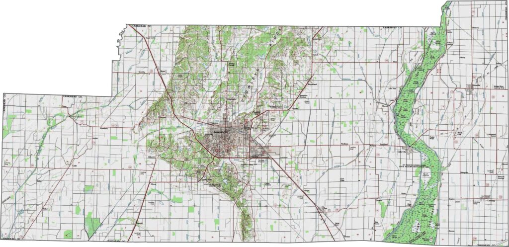
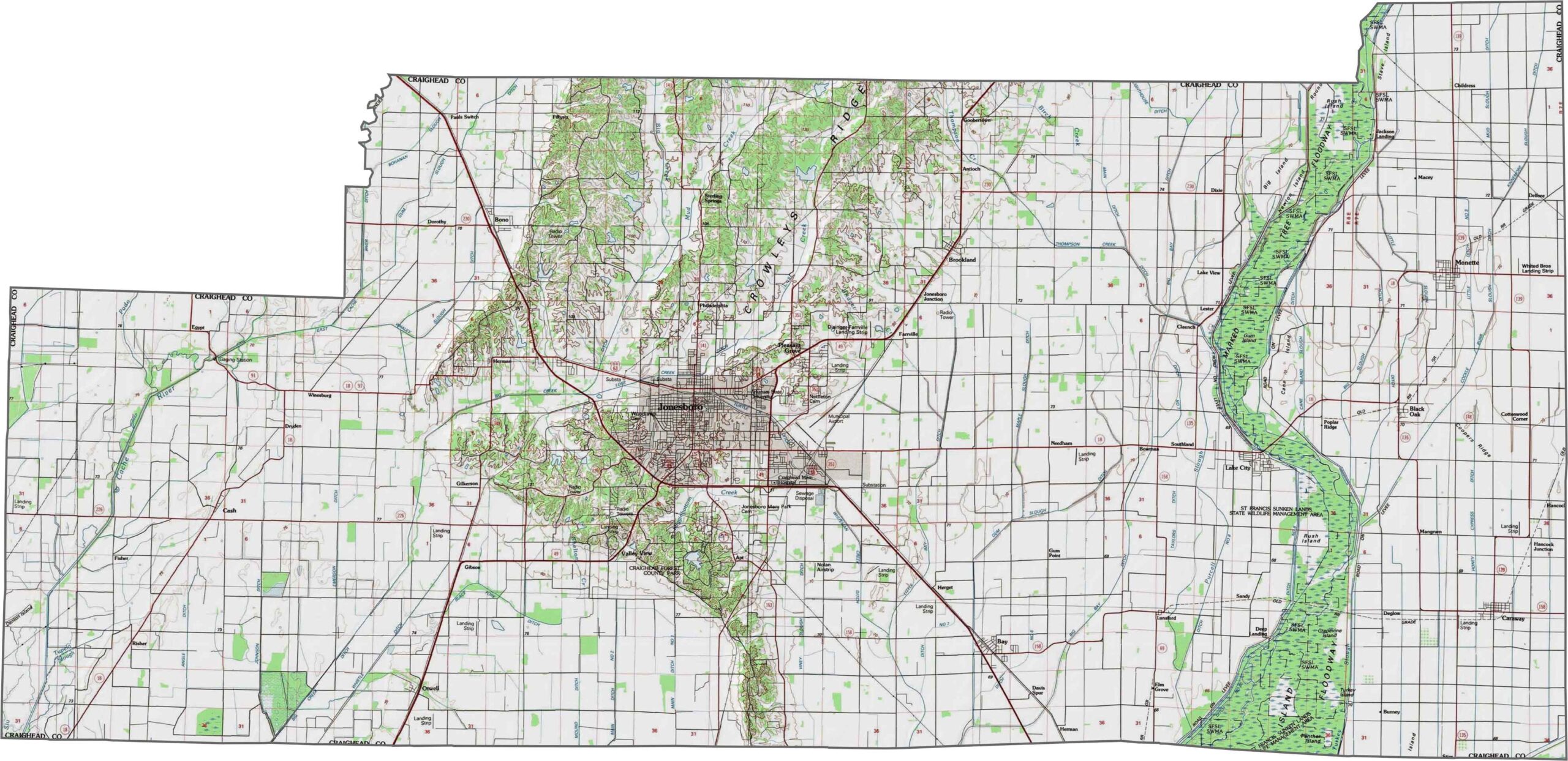
The topographic map of Craighead County shows its exceptionally flat delta landscape with very subtle elevation changes. Our new zoom tool helps you spot minor contours and drainage patterns across this level terrain.
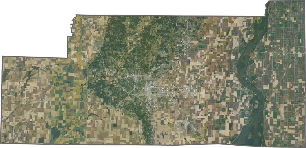
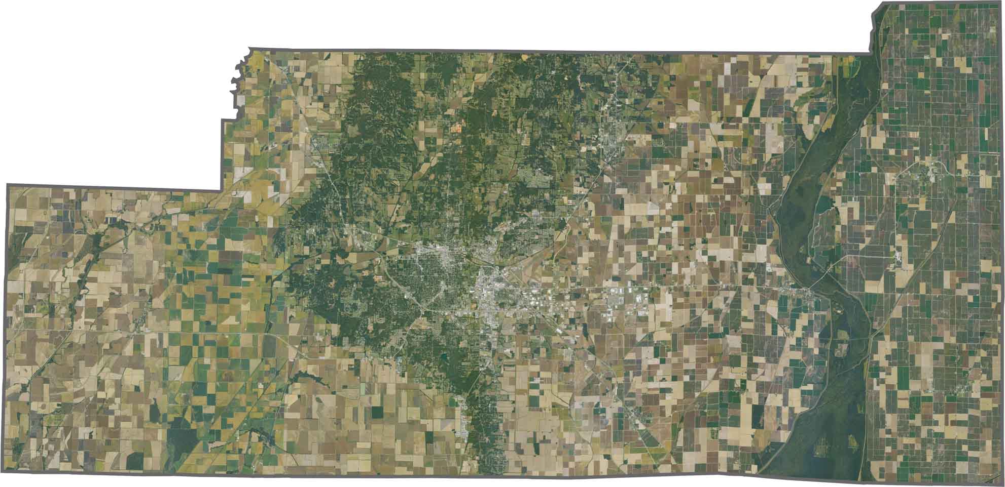
This satellite view of Craighead County, Arkansas displays Jonesboro surrounded by the flat, gridded farmland of the Mississippi Delta region. Drainage channels are visible throughout the agricultural areas.
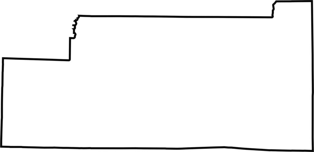
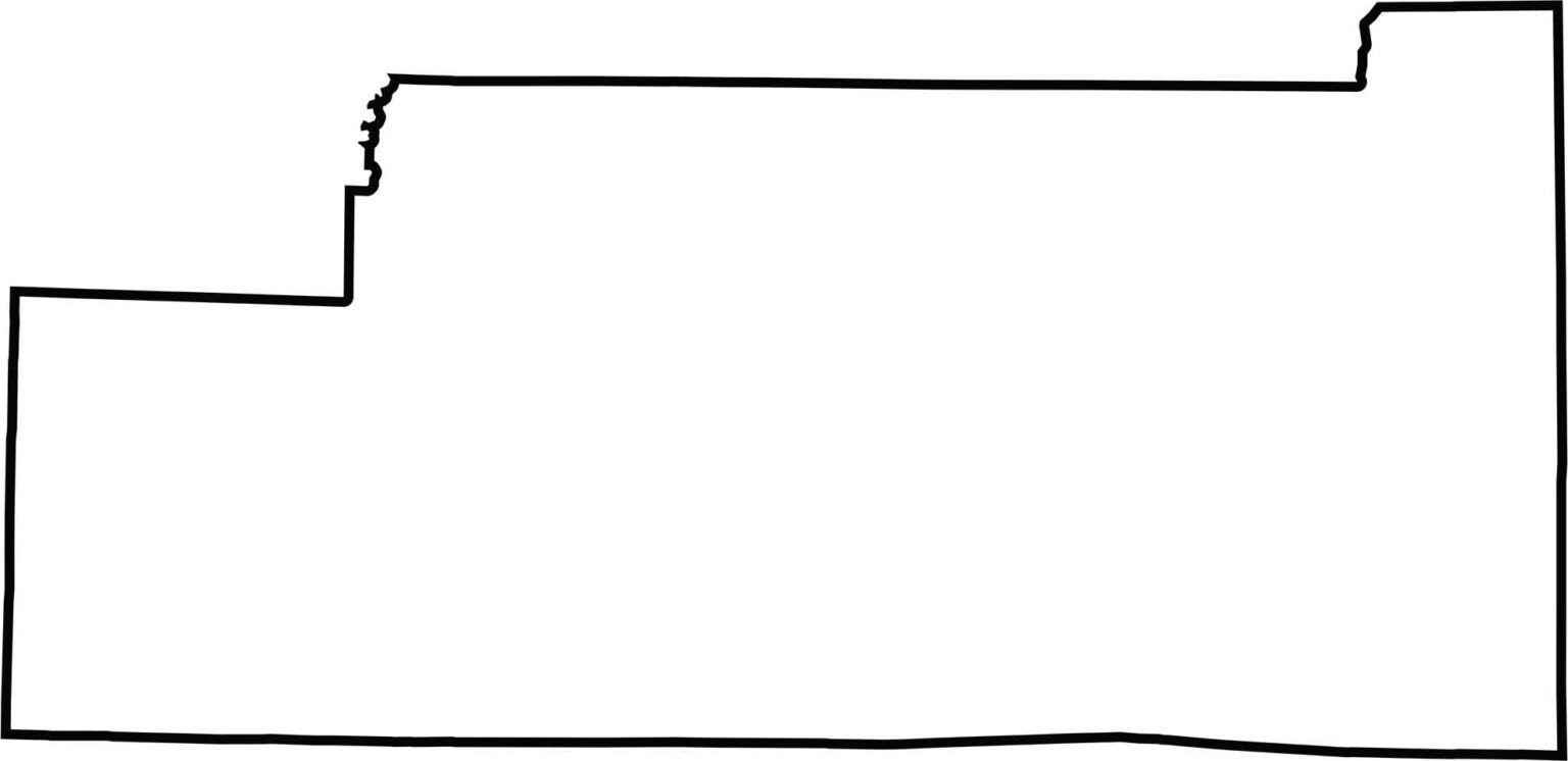
This blank map of Craighead County shows its square shape in northeast Arkansas. The simple outline presents the county borders for easy reference.
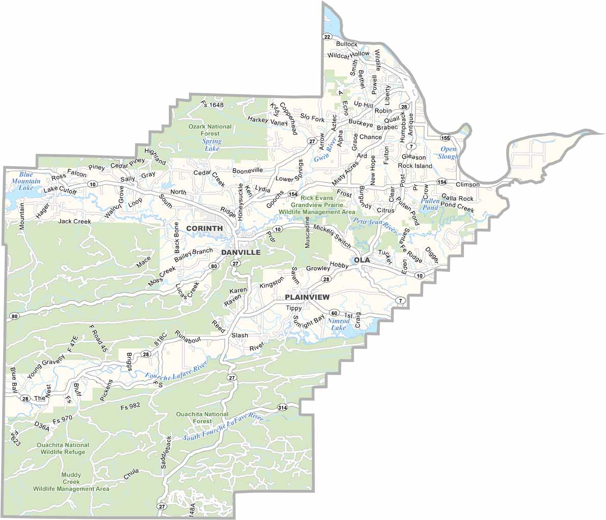
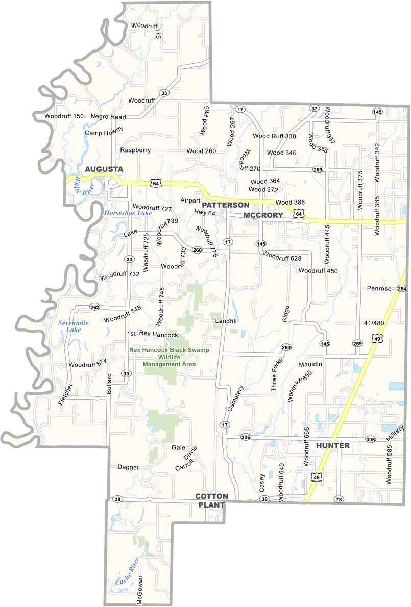
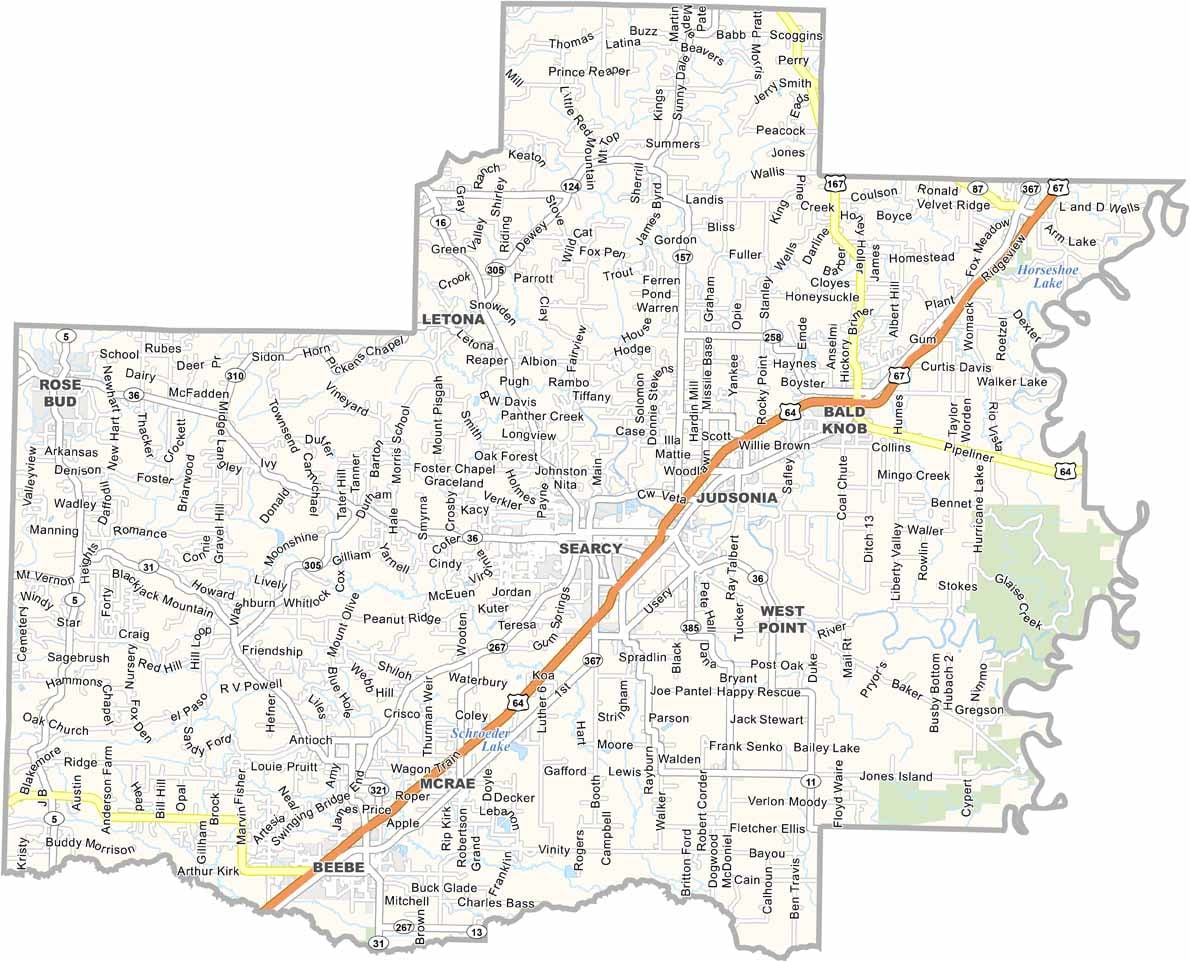


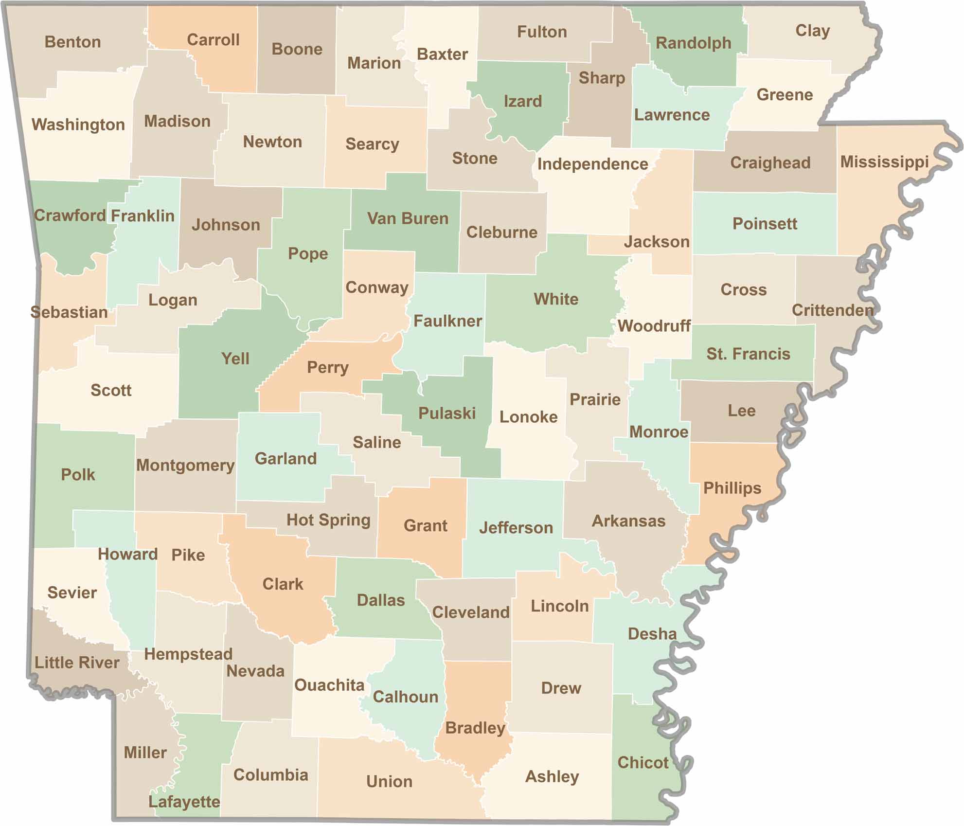
Discover all 75 Arkansas counties with our detailed and easy-to-read map. Explore the Natural State’s cities, scenic byways, and notable attractions with ease. This Arkansas county map is perfect for travelers, students, researchers, and anyone interested in learning more about the state.