Van Buren County Map Download Arkansas – Outline Map and Blank Map

Van Buren County Map Download Arkansas – Outline Map and Blank Map

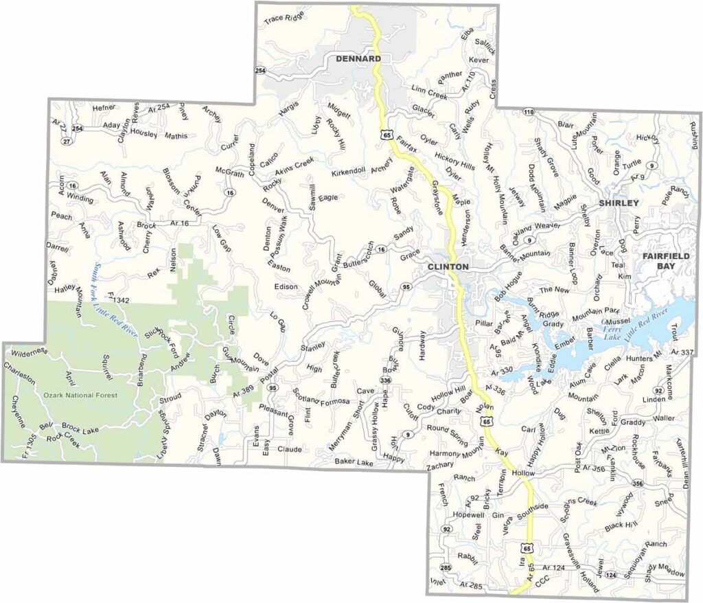
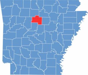
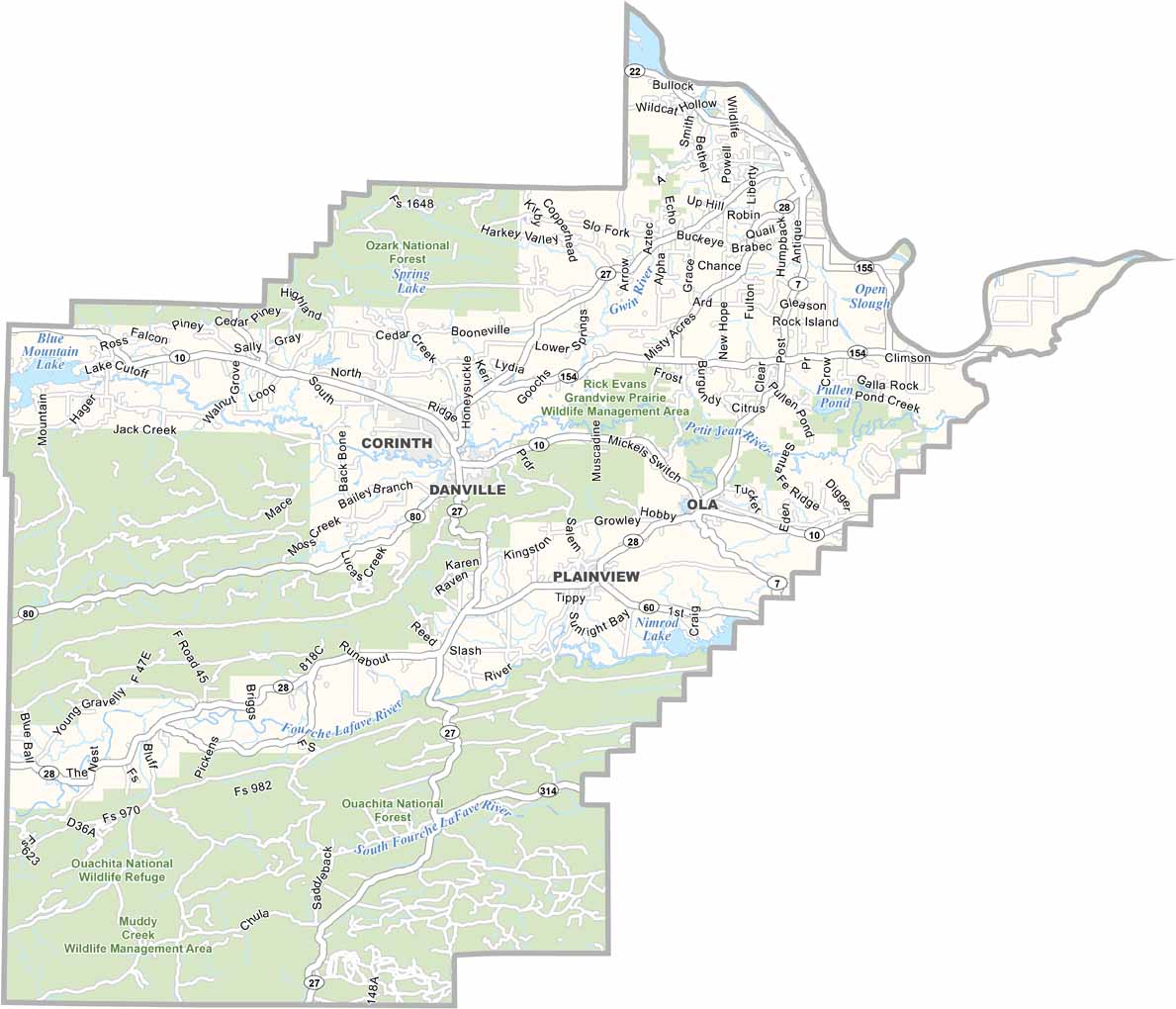
Van Buren County, Arkansas

Van Buren County is a place where the rolling Ozark Mountains meet sparkling lakes. The county is home to several natural bridges, including the famous Natural Bridge near Clinton. It also offers excellent opportunities for trout fishing and hiking.

Clinton serves as the county seat and is known as the Chuckwagon Racing Capital of the World. Fairfield Bay sits along Greers Ferry Lake and is a scenic resort community.

Van Buren County offers a unique combination of natural beauty and local attractions, making it a place where visitors can enjoy the outdoors and experience the excitement of chuckwagon racing.
CategoryDetails
County NameVan Buren County
County SeatClinton
EtymologyNamed after the 8th U.S. President, Martin Van Buren
Cities, Towns, and CommunitiesClinton, Shirley, Bee Branch, Fairfield Bay, Damascus
Interstates and HighwaysU.S. Highway 65, Arkansas Highway 9, 16, 110
FIPS Code05-141
Total Area (Land and Water)1,065 square miles (Land: 1,060 sq mi, Water: 5 sq mi)
Adjacent Counties (and Direction)Searcy County (North), Stone County (Northeast), Cleburne County (East), Faulkner County (Southeast), Conway County (Southwest), Pope County (West)
Time ZoneCentral Standard Time (CST)
StateArkansas
Coordinates35.5960° N, 92.4723° W
Major LandmarksOzark National Forest, Greers Ferry Lake
PopulationApproximately 18,000
Scroll to Top