
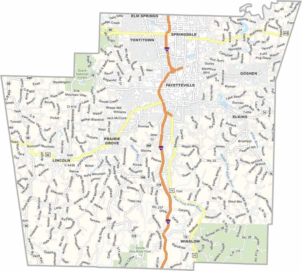
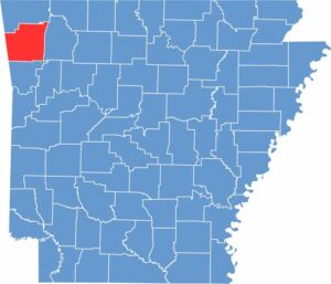
Washington County is located in the northwest corner of Arkansas and is one of the fastest-growing areas in the state. With a population of more than 255,000 people, the county offers a mix of urban communities and scenic rural landscapes.
Fayetteville, the county seat, is home to the University of Arkansas. The area is also known for its cultural attractions, including the Walton Arts Center and the annual Bikes, Blues & BBQ festival in Rogers.
Interstate 49 runs through the county, providing convenient transportation access. For outdoor enthusiasts, the Ozark National Forest and nearby Beaver Lake offer opportunities for hiking, boating, and enjoying beautiful views.
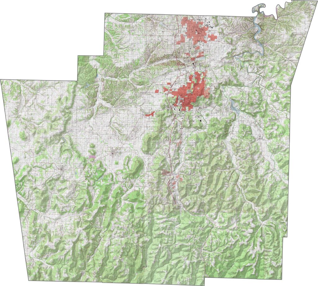
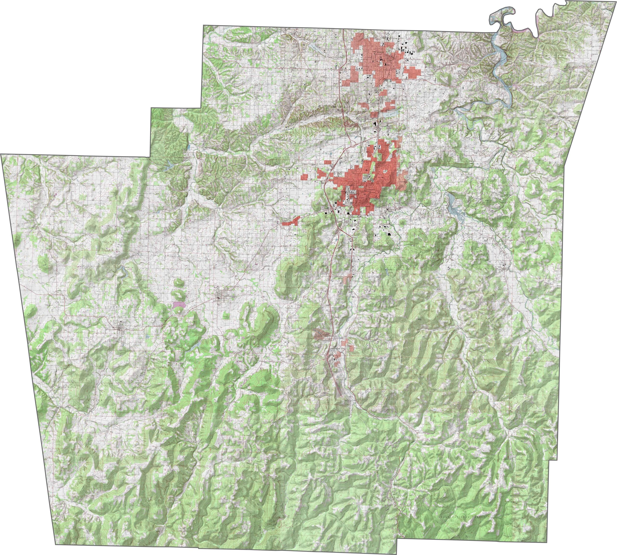
This topographic map of Washington County displays mountain ridges in the south and gentler plateaus in the north. Our new zoom tool helps you explore the valleys, hills, and changing terrain across the county.
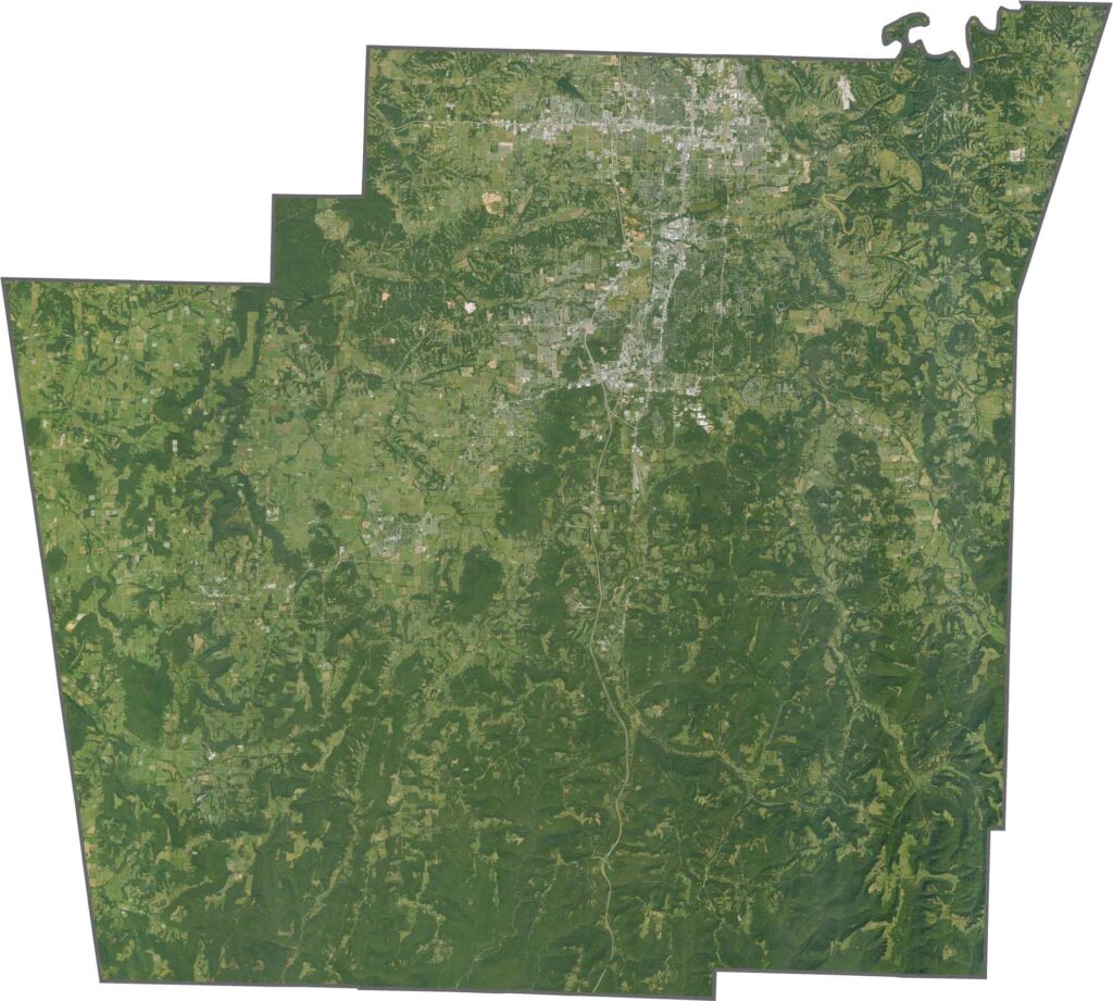
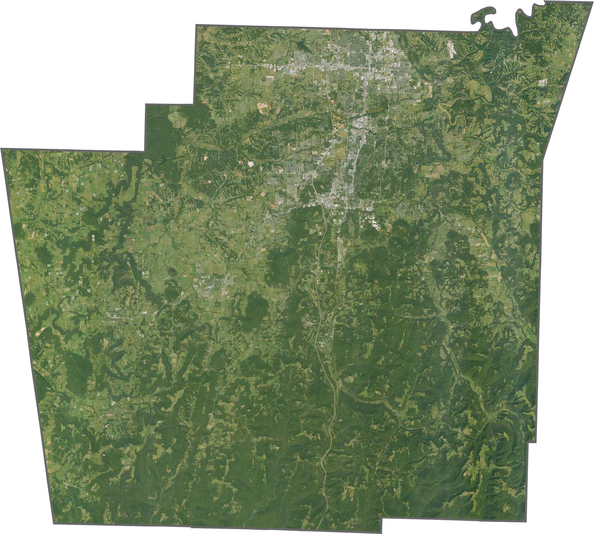
This satellite imagery of Washington County highlights Fayetteville and the surrounding Ozark Mountains. Agricultural areas and smaller communities are also visible throughout the northern section.
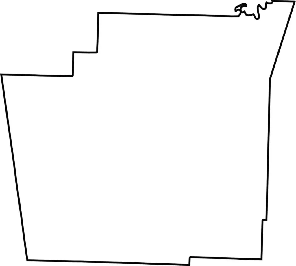
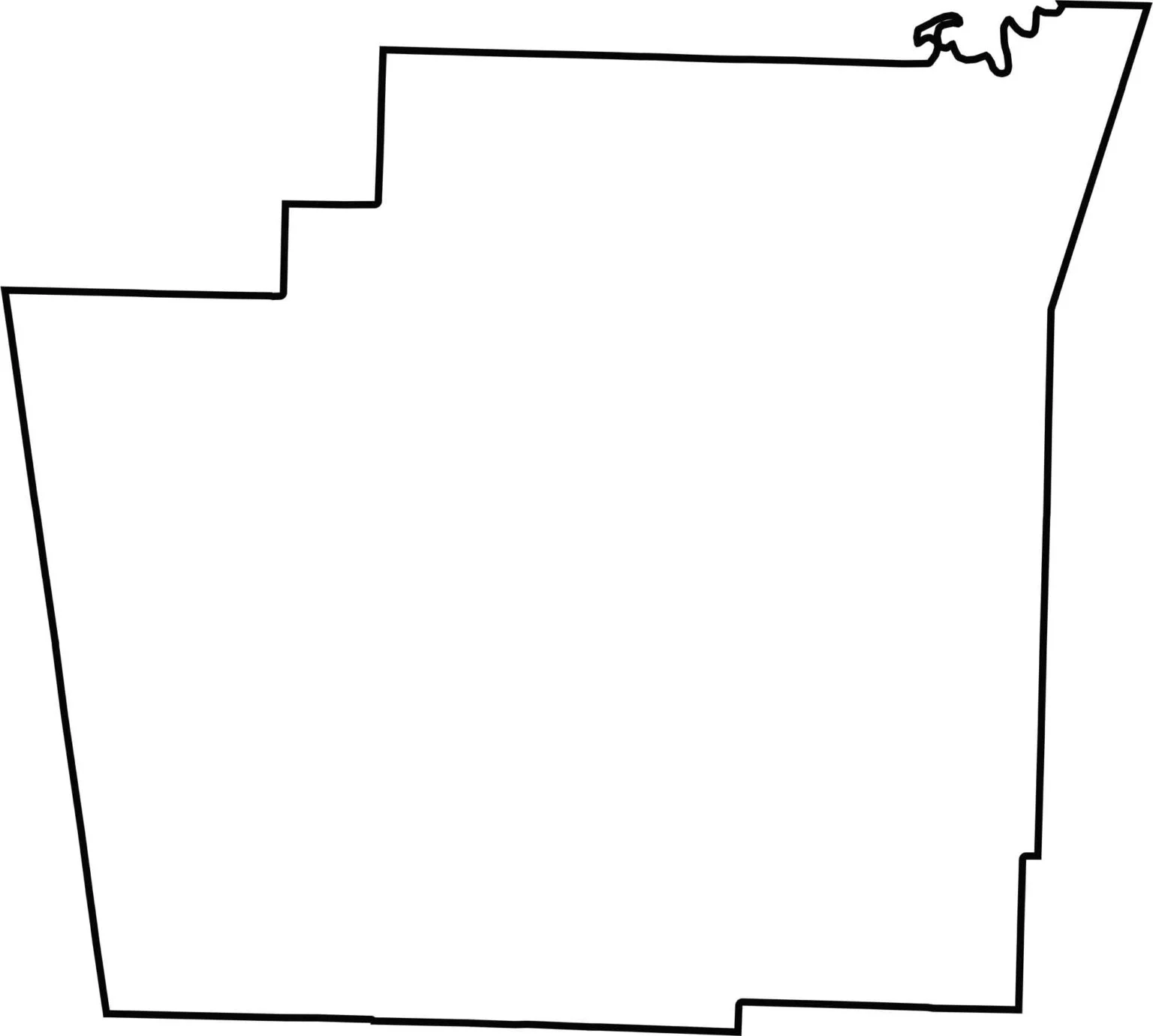
This blank map of Washington County features its simple shape along Arkansas’s western border. The outline clearly shows the county boundaries without additional geographic details.


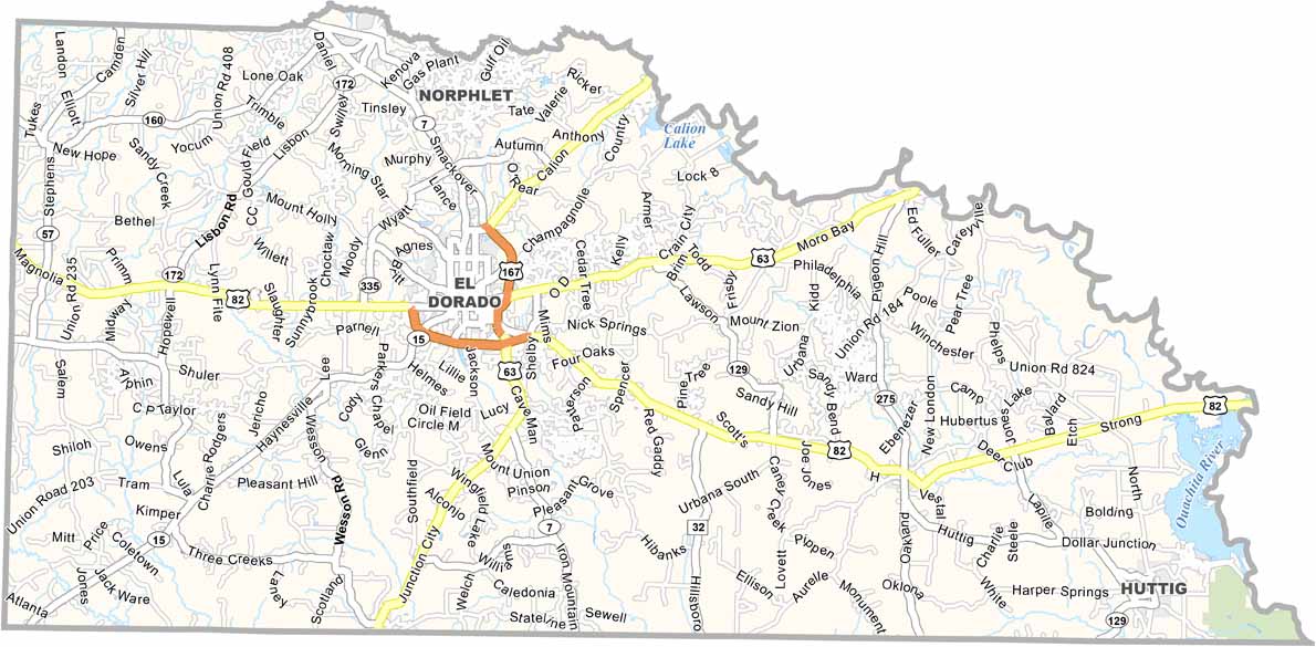

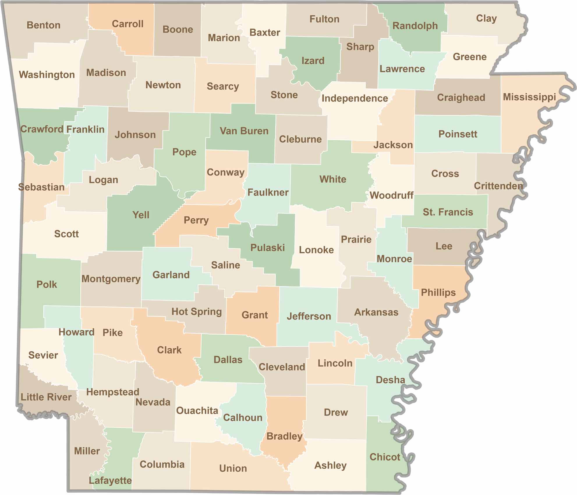
Discover all 75 Arkansas counties with our detailed and easy-to-read map. Explore the Natural State’s cities, scenic byways, and notable attractions with ease. This Arkansas county map is perfect for travelers, students, researchers, and anyone interested in learning more about the state.