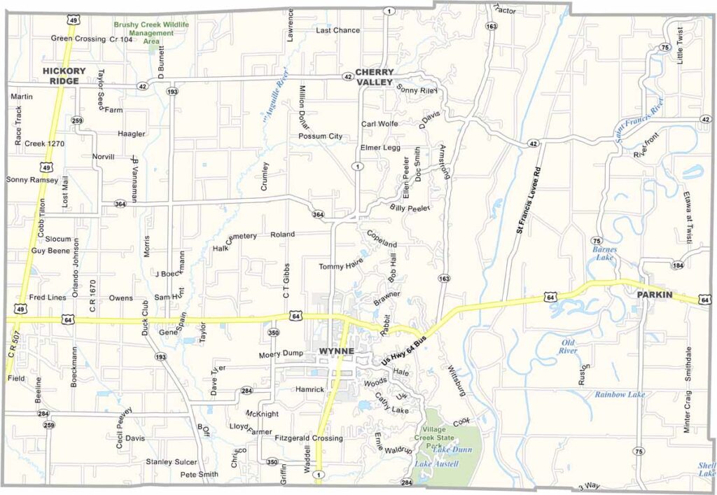
Cross County, Arkansas

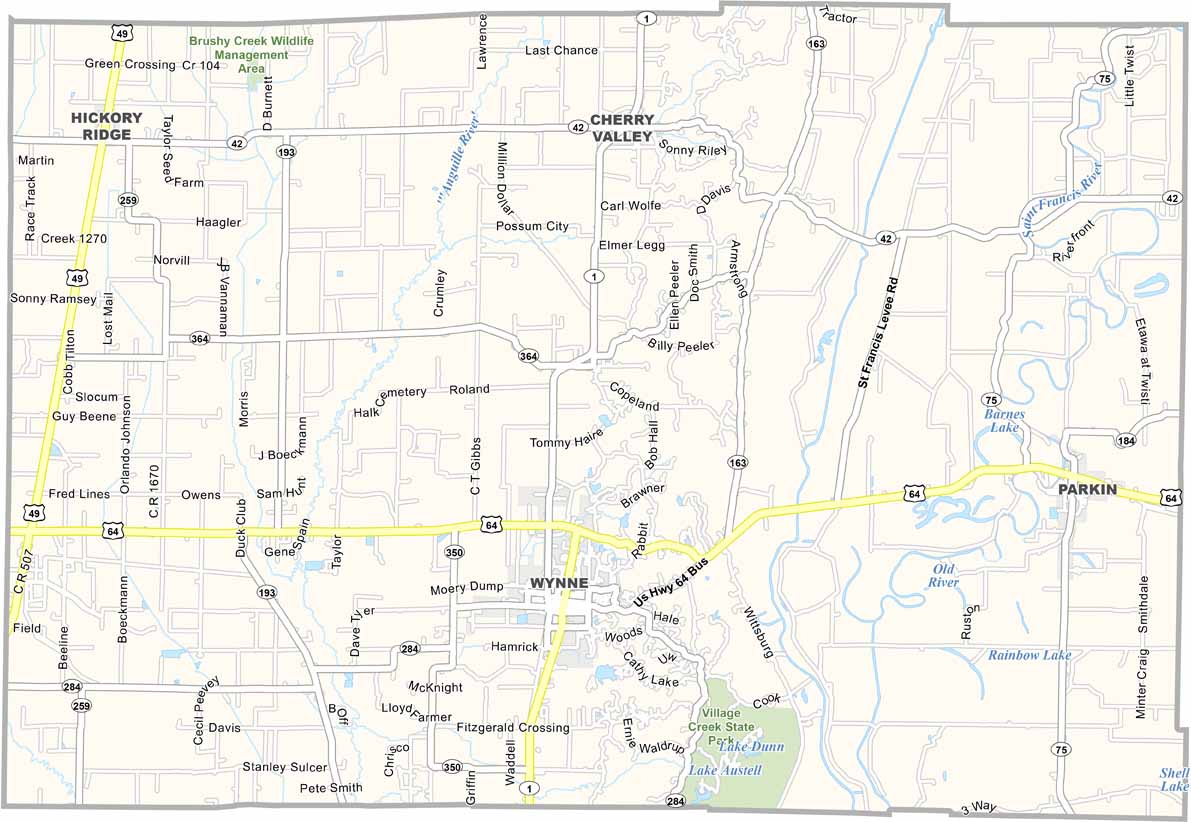
Cross County is located in northeastern Arkansas, with Wynne serving as the county seat. Known as the “City with a Smile,” Wynne is part of a county with around 16,000 residents.

Agriculture is the foundation of the local economy. The county is a major producer of rice, soybeans, and corn, with vast agricultural fields stretching across the landscape. U.S. Highway 64 also runs through the county.

Village Creek State Park is a popular local destination, offering trails, lakes, and historic sites. Cross County also hosts the annual Farm Fest in Wynne, celebrating the area’s agricultural heritage with food, music, and community activities.

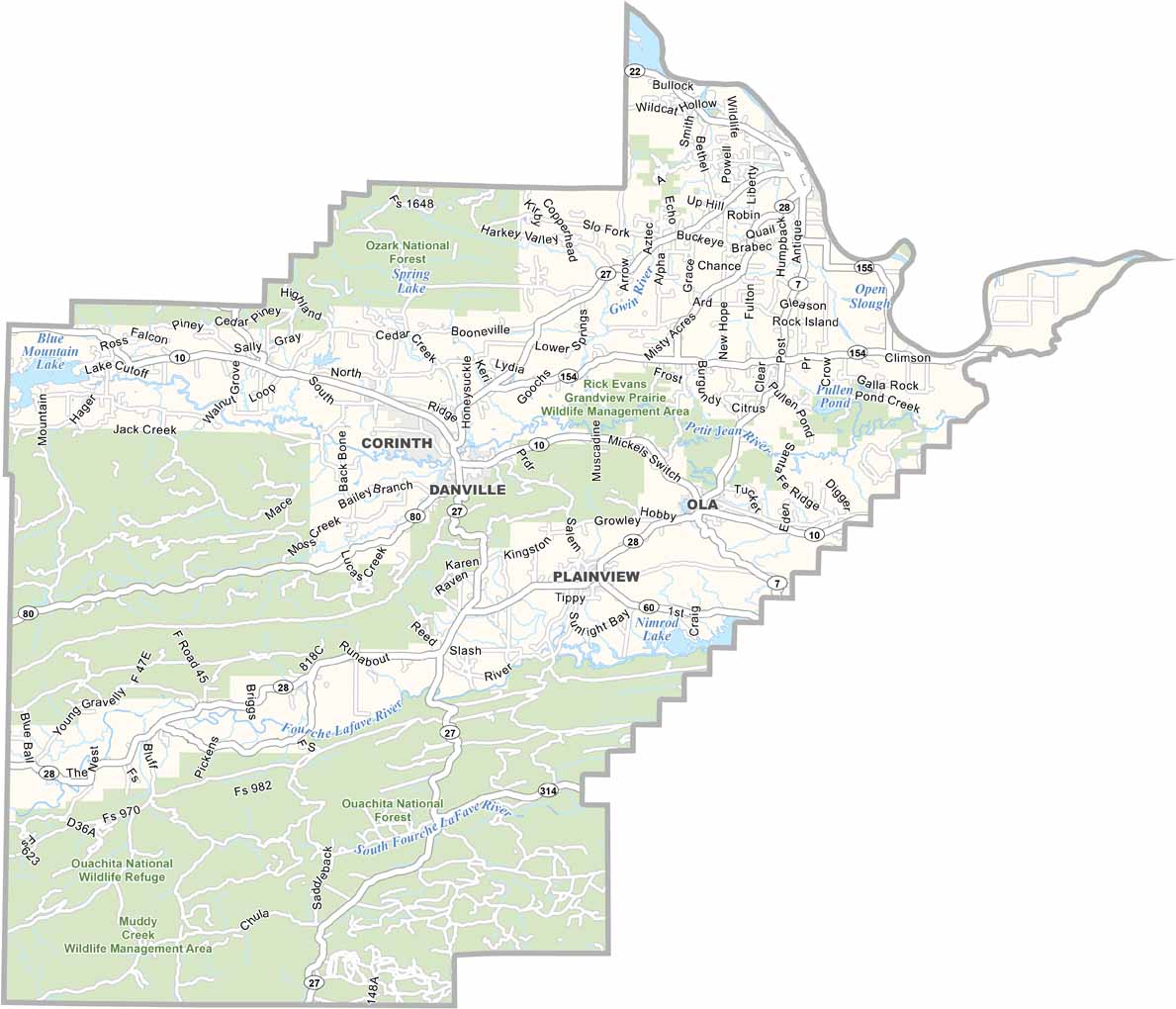
Printable Stone County Missouri location map showing county location and boundaries
CategoryDetails
County NameCross County
County SeatWynne
PopulationApproximately 16,000
Cities, Towns, and CommunitiesWynne, Cherry Valley, Hickory Ridge, Parkin
Interstates and HighwaysU.S. Route 64, U.S. Route 49, State Route 1, State Route 42, State Route 75, State Route 163, State Route 284
FIPS Code05-037
Total Area (Land and Water)622 square miles (Land: 616 sq mi, Water: 6 sq mi)
Adjacent Counties (and Direction) Poinsett County (North), Crittenden County (East), St. Francis County (South), Woodruff County (West), Jackson County (Northwest)
Time ZoneCentral Standard Time (CST)
StateArkansas
Coordinates35.3009° N, 90.7744° W
EtymologyNamed after David Cross, a Confederate soldier in the Civil War and local politician
Major LandmarksVillage Creek State Park, Wynne City Park, Parkin Archaeological State Park, Cross County Museum, Crowley’s Ridge Parkway
Scroll to Top