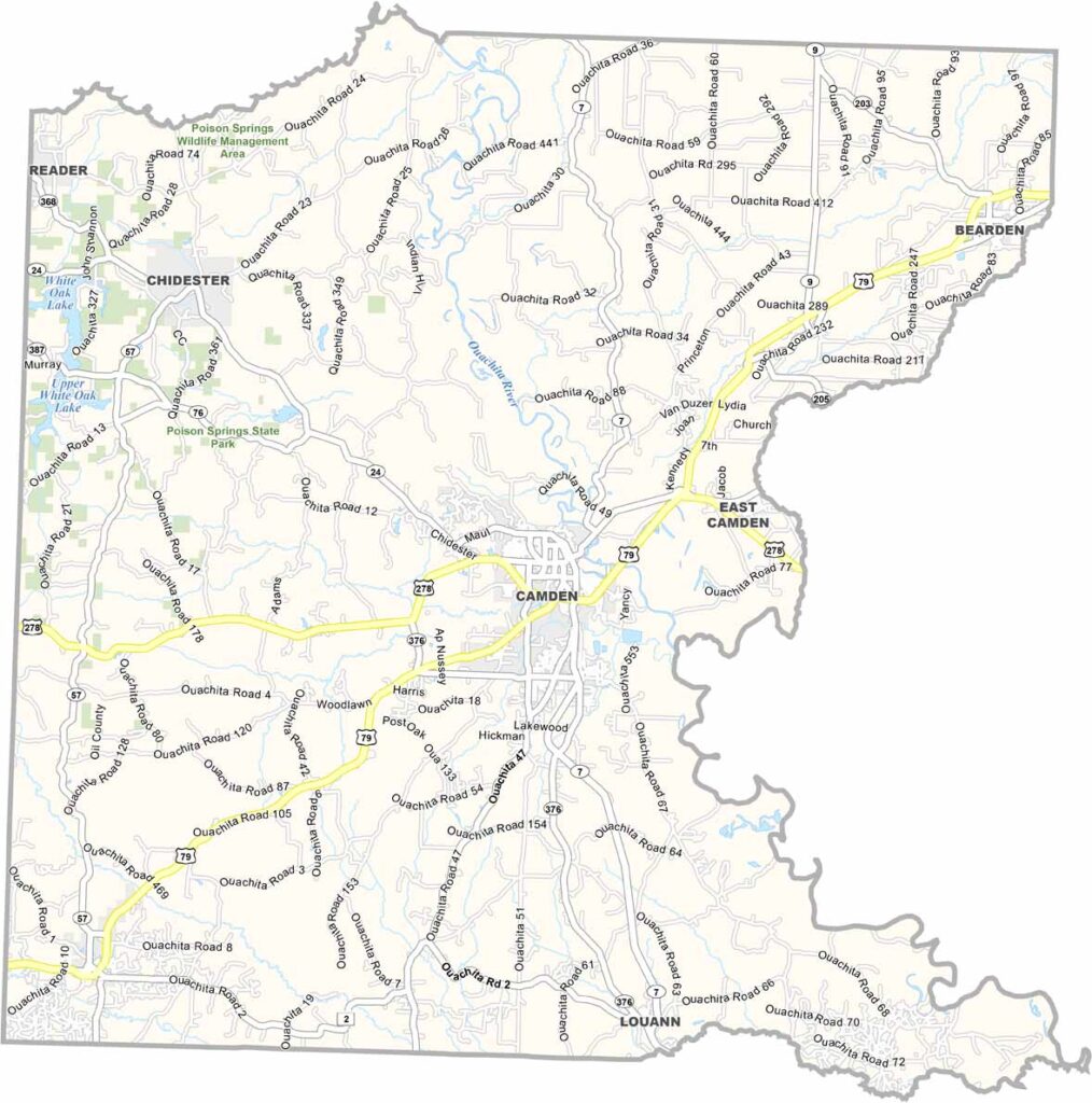
Ouachita County, Arkansas

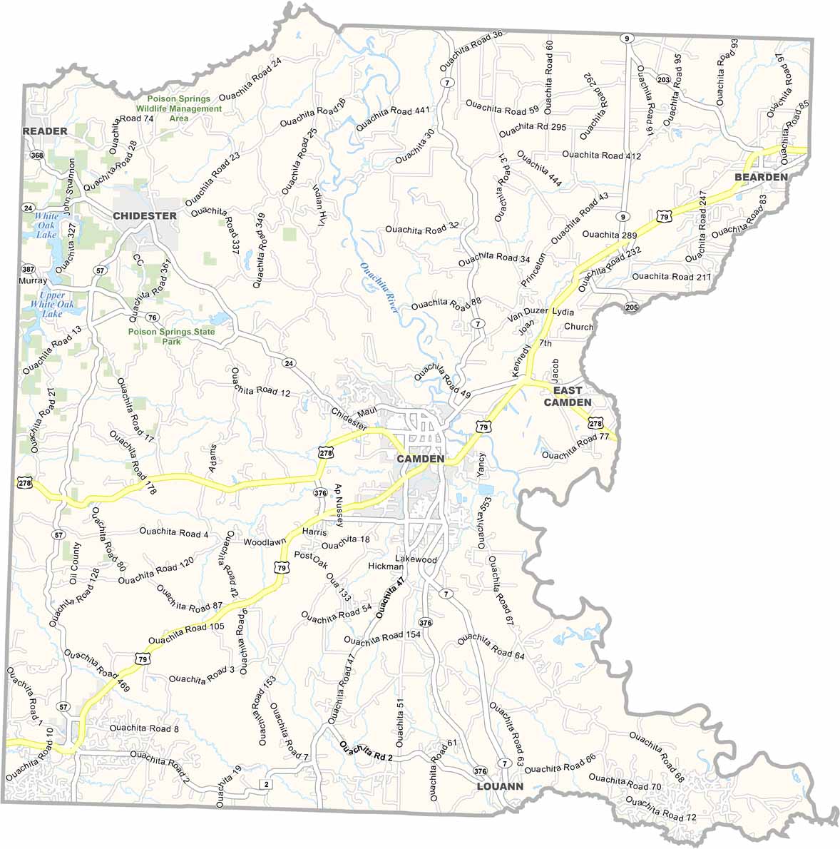
Ouachita County is located in southern Arkansas and is centered around Camden, a town with a rich history dating back to the Civil War. U.S. Highway 79 and U.S. Highway 278 pass through the county

The Ouachita River flows through the area, giving the county its name. Timber and manufacturing are major industries, while the region’s forests support a strong lumber business.

With a population of around 23,000 people, Ouachita County is known for its historic sites, including Fort Lookout and Fort Southerland Civil War parks. The annual Camden Daffodil Festival is also a major attraction in the area.
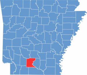
CategoryDetails
County NameOuachita County
County SeatCamden
EtymologyNamed after the Ouachita River, which flows through the region
Cities, Towns, and CommunitiesCamden, East Camden, Oglesby, Lentz, Chidester
Interstates and HighwaysU.S. Route 278, U.S. Route 82, State Route 7, State Route 24
FIPS Code05-103
Total Area (Land and Water)1,030 square miles (Land: 1,008 sq mi, Water: 22 sq mi)
Adjacent Counties (and Direction)Dallas County (North), Calhoun County (East), Union County (South), Columbia County (Southwest), Nevada County (West), Clark County (Northwest)
Time ZoneCentral Standard Time (CST)
StateArkansas
Coordinates33.5865° N, 92.8276° W
Major LandmarksOuachita National Forest, Camden Waterworks Park, Historic Downtown Camden
PopulationApproximately 22,000
Scroll to Top