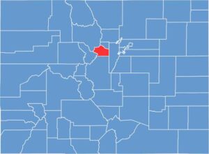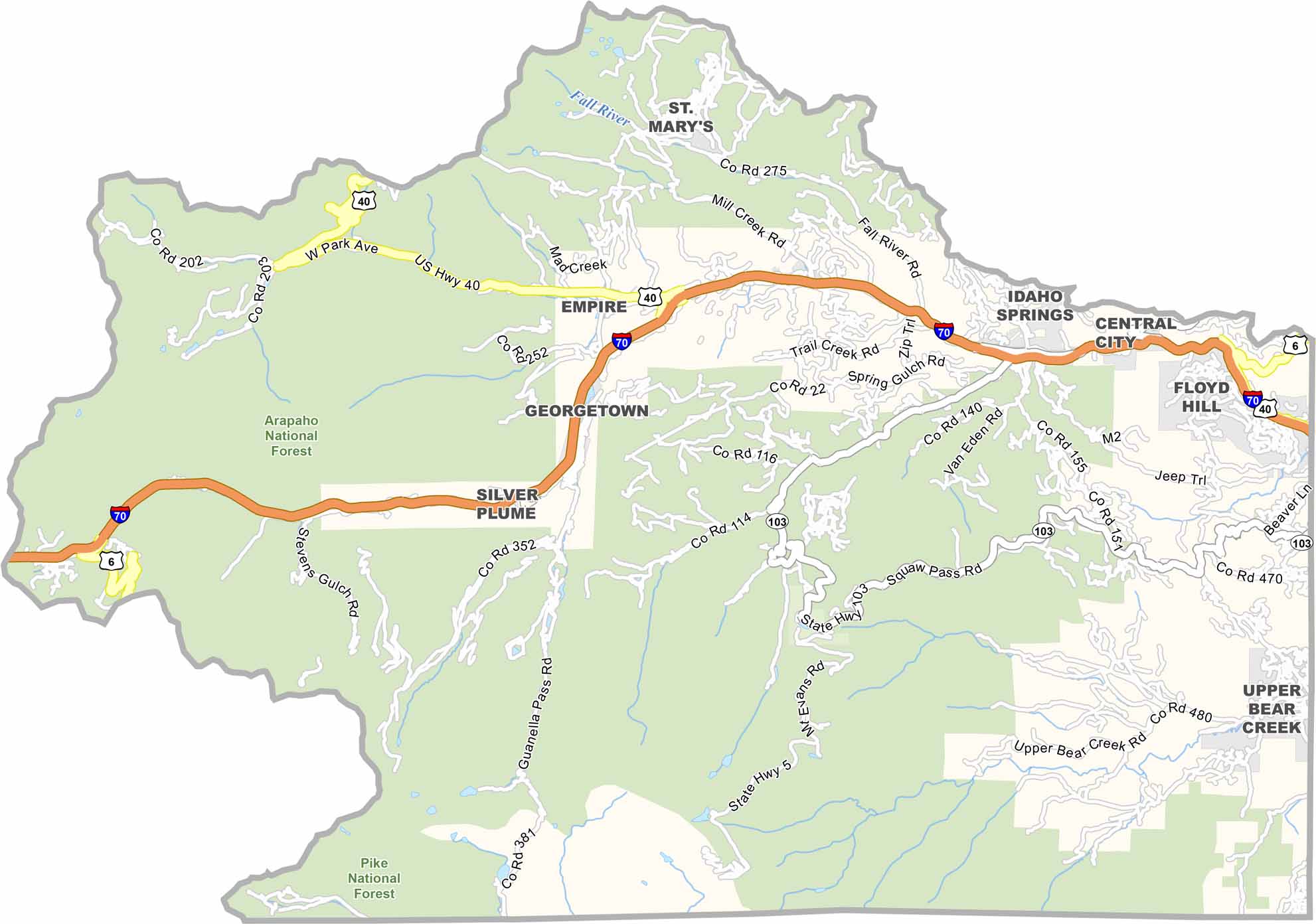
Clear Creek County is located in the mountains west of Denver and is named after Clear Creek, which flows through the heart of the county. Despite its proximity to the Denver metro area, parts of the county feel remote and rugged. With just over 9,000 residents, it remains one of Colorado’s smaller counties.
Mining was once a major industry, and historic mines can still be found throughout the surrounding hills. Today, tourism plays a much larger role, with skiing and other mountain activities attracting visitors. The Georgetown Loop Railroad is another popular attraction, offering a glimpse into the region’s mining-era history.
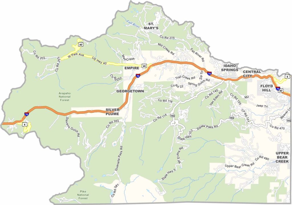
Idaho Springs and Georgetown are the county’s main communities, both of which began as mining towns. Interstate 70 runs through the county, providing easy access for skiers and tourists traveling from Denver. The landscape is dominated by deep valleys and steep mountain peaks, including Mount Evans.