
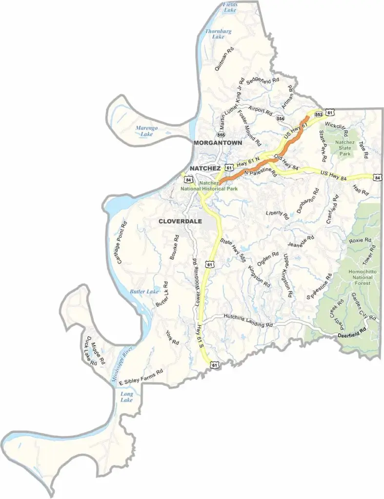
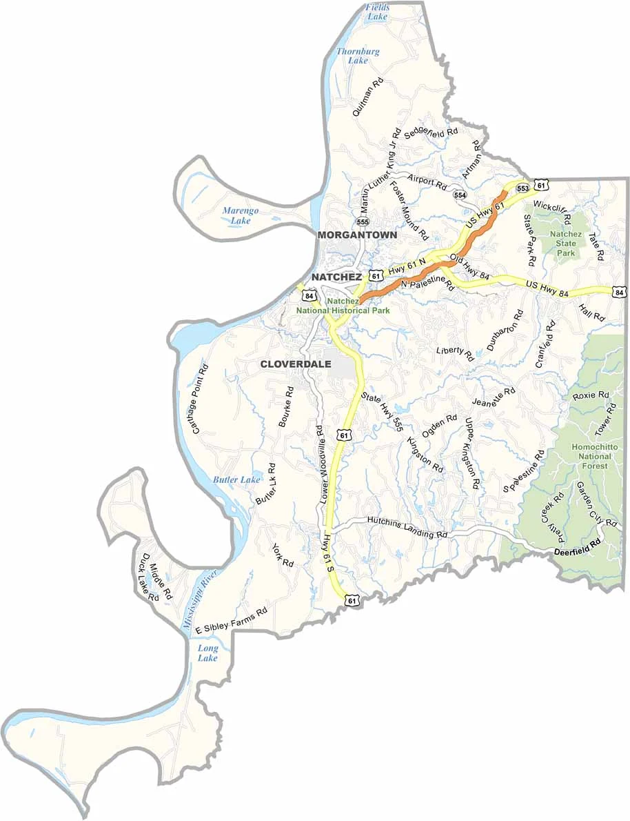
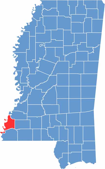
Adams County sits in the southwest corner of Mississippi, where history and nature collide. The mighty Mississippi River flows along its western border, carving out the landscape.
Natchez, the county seat, boasts more antebellum homes than any other U.S. city. Imagine that. Spanish moss drapes from ancient oaks, whispering tales of the past. The county's roots run deep, with Native American mounds dating back over a thousand years.
Fishing, hunting, and outdoor adventures beckon in the lush forests and winding creeks. Don't miss the spring and fall pilgrimages, when historic homes open their doors to curious visitors.

Mississippi Counties
Rankin County Map Download Mississippi – Outline Map and Blank Map

Mississippi Counties
Madison County Map Download Mississippi – Outline Map and Blank Map

Mississippi Counties
Jackson County Map Download Mississippi – Outline Map and Blank Map

Mississippi Counties
Hinds County Map Download Mississippi – Outline Map and Blank Map

Mississippi Counties
Harrison County Map Download Mississippi – Outline Map and Blank Map

Mississippi Counties