
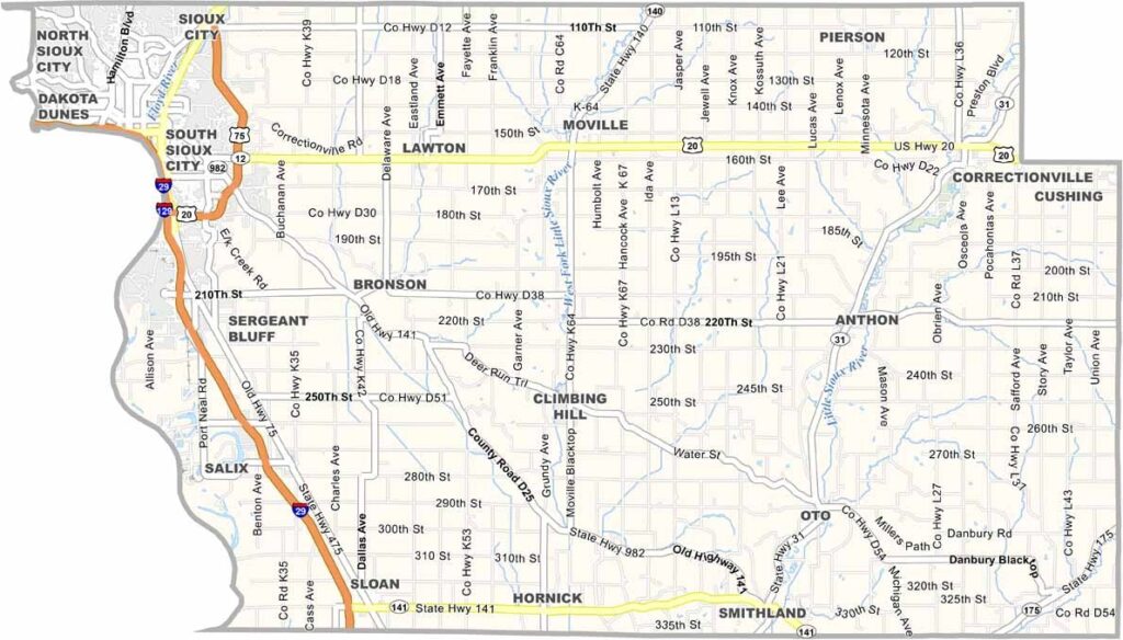
Woodbury County stretches along Iowa’s western border, with Sioux City serving as its main urban center. Home to around 105,000 residents, the county offers a balanced mix of urban amenities and rural charm.
Sioux City was once a thriving steamboat port along the Missouri River. Today, the city features attractions such as the Hard Rock Casino and the historic Sergeant Floyd Monument.
The Dorothy Pecaut Nature Center provides scenic hiking trails and wildlife exhibits, making it a popular destination for outdoor enthusiasts. Named after Levi Woodbury, a former U.S. Supreme Court justice, Woodbury County ranks as Iowa’s seventh most populous county.
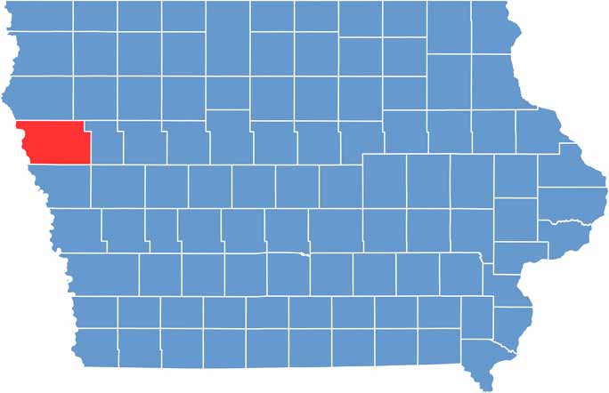
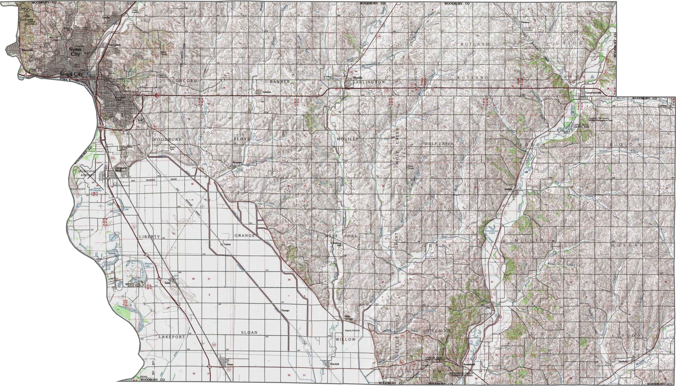
Despite the presence of the Missouri River, Woodbury County has a wide-open feel. I-29 follows the river closely, while U.S. Highway 20 runs east-west across the county. Smaller roads may end at levees or transition into gravel, creating a unique mix where highways and natural landscapes do not always align. Explore the map below with our zoom tool for a closer look at these features.
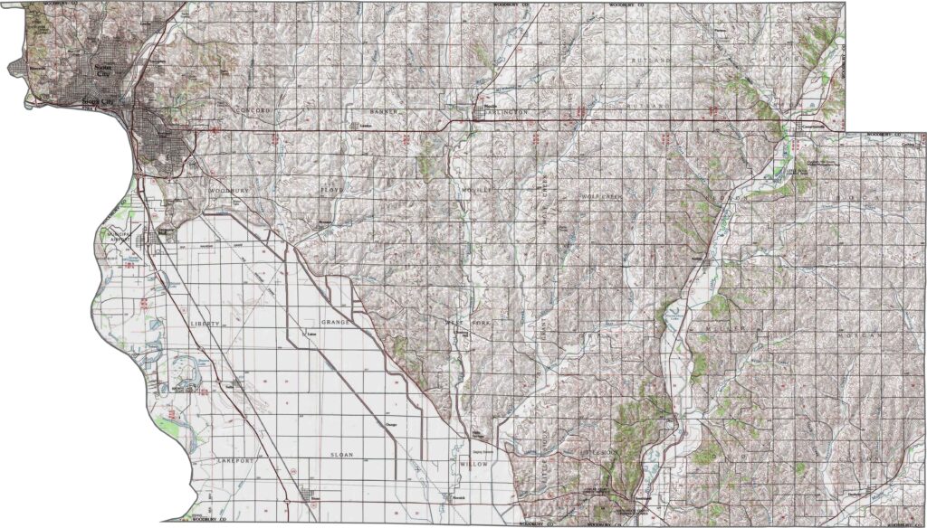
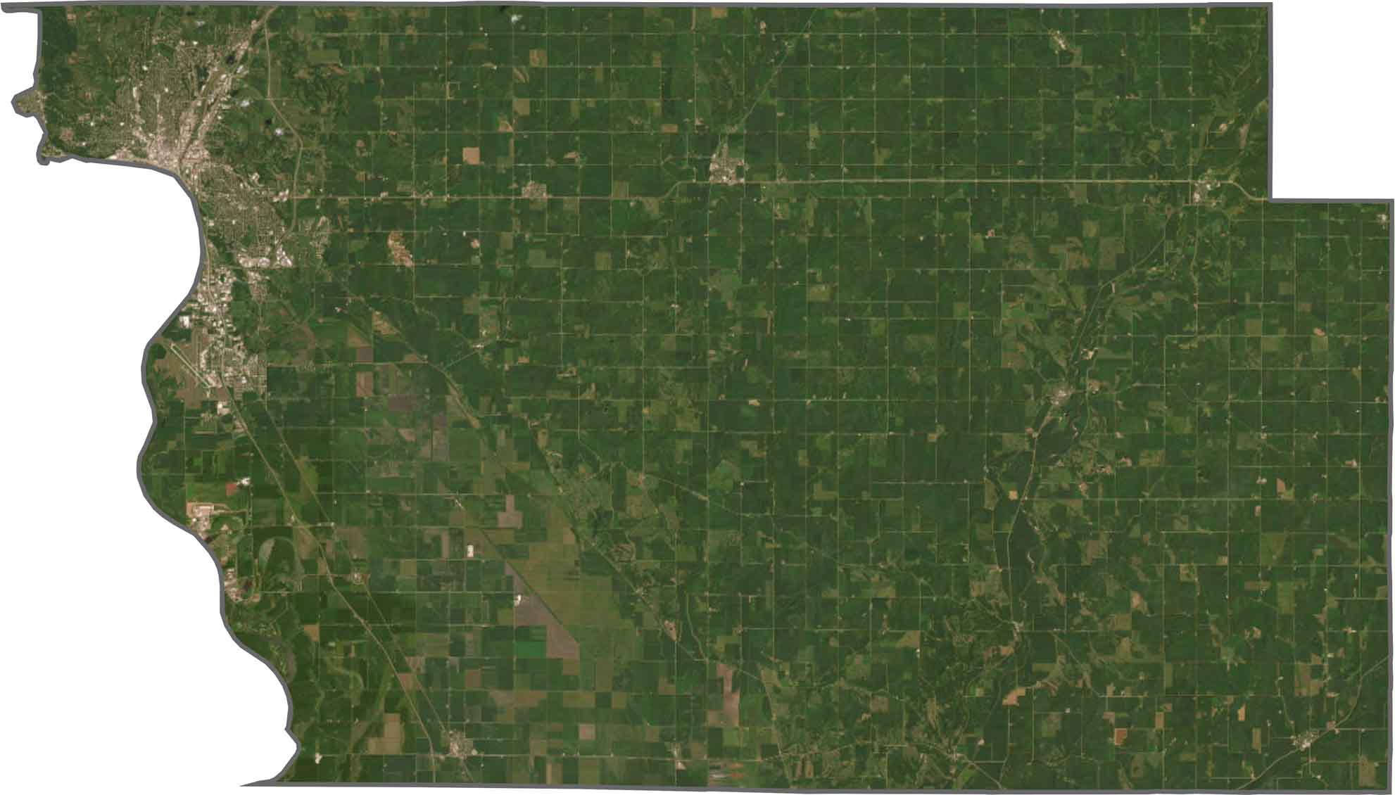
Sioux City anchors the northwest corner of the county, with industrial areas located near the Missouri and Big Sioux Rivers. Beyond the city, expansive farmland stretches across the landscape in large, uninterrupted fields. Although the rivers add striking natural features, much of Woodbury County remains strongly agricultural.
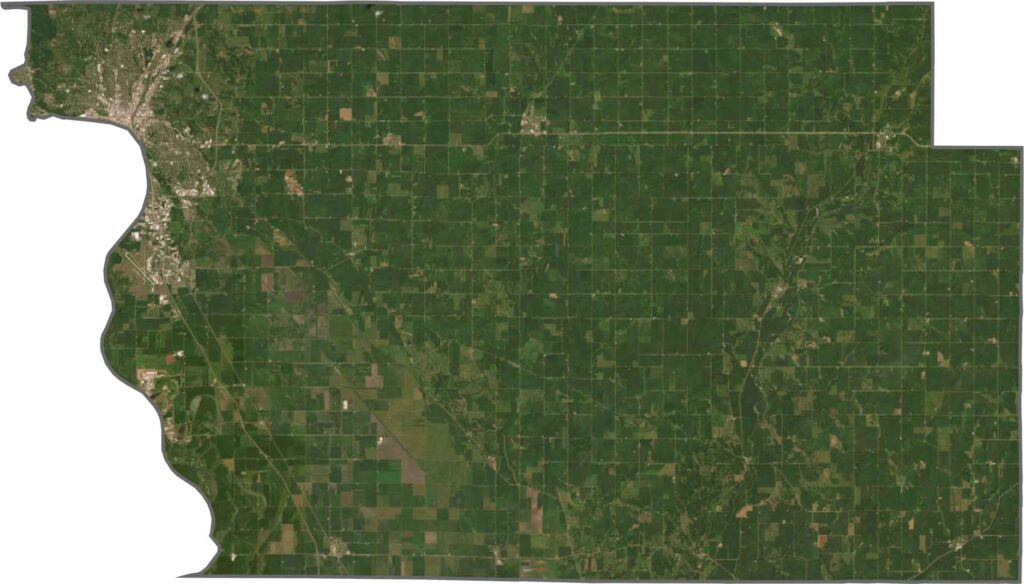
Woodbury County has an irregular shape, with the Missouri River forming its entire western boundary. Across the river, the county directly borders Nebraska’s Dakota County and South Dakota’s Union County.







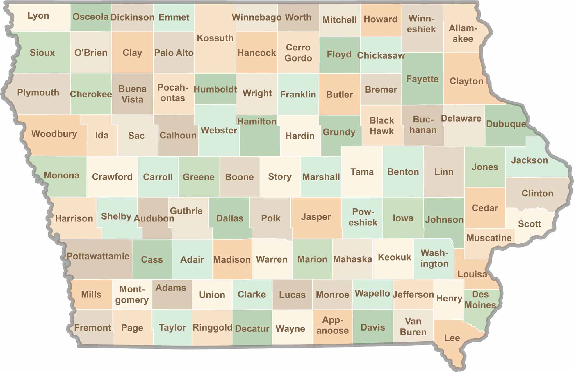
Where the sky stretches wide and scenic backroads lead to authentic small-town experiences, Iowa’s 99 counties offer plenty of charm to discover. Come explore the beauty of wide-open spaces, peaceful landscapes, and the simple grace that makes the Hawkeye State truly special.