
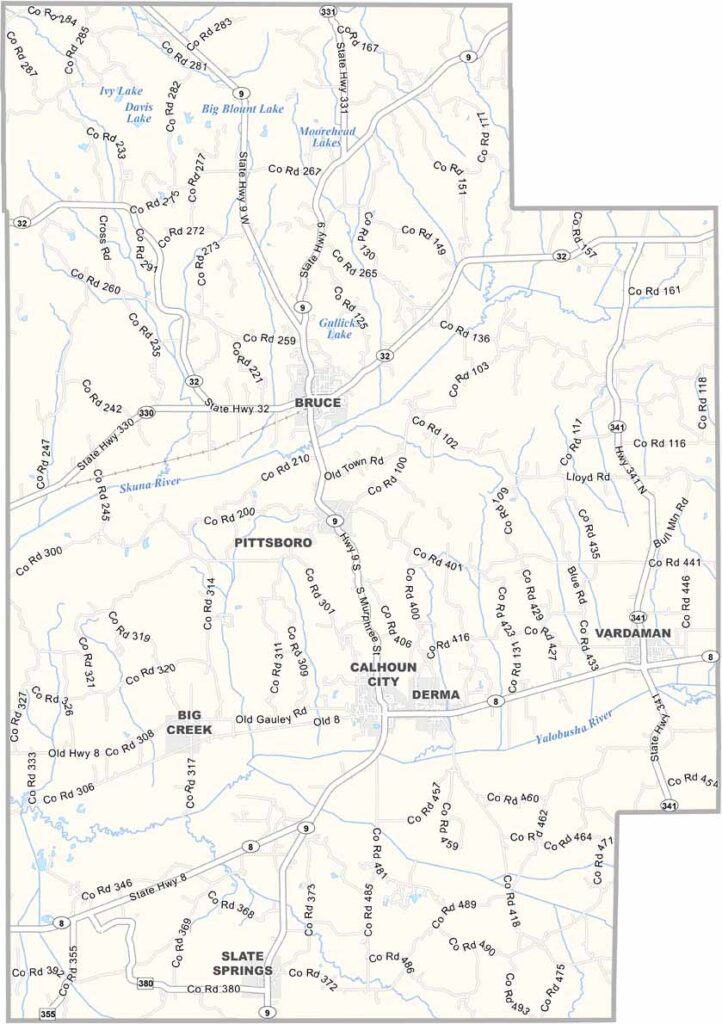
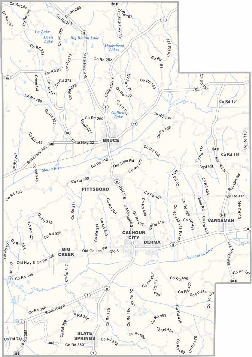
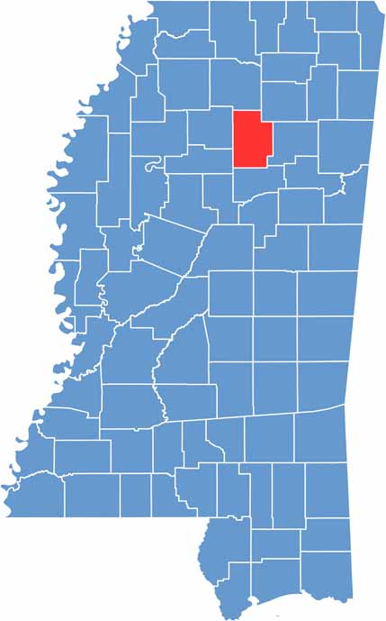
Calhoun County sits in north-central Mississippi, about halfway between Memphis and Jackson. It's not a place you'll find in most travel guides, but that's just fine.
The county is named after John C. Calhoun, a big-shot politician from way back. Folks here like to keep things low-key. You won't find any skyscrapers or fancy nightclubs, but you will find some good barbecue and friendly faces.
The Skuna River and Yalobusha River wind through the area, giving fishermen plenty of spots to cast a line. Pittsboro, the county seat, is where most of the action happens.

Mississippi Counties
Rankin County Map Download Mississippi – Outline Map and Blank Map

Mississippi Counties
Madison County Map Download Mississippi – Outline Map and Blank Map

Mississippi Counties
Jackson County Map Download Mississippi – Outline Map and Blank Map

Mississippi Counties
Hinds County Map Download Mississippi – Outline Map and Blank Map

Mississippi Counties
Harrison County Map Download Mississippi – Outline Map and Blank Map

Mississippi Counties