
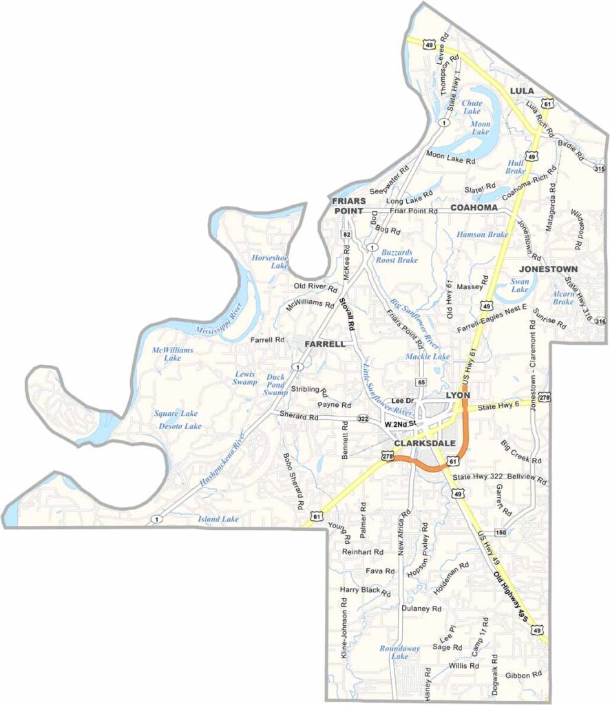
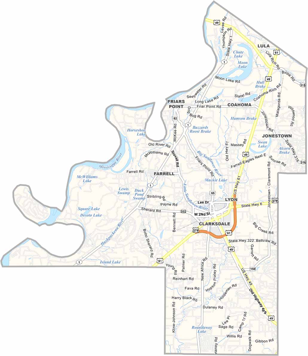
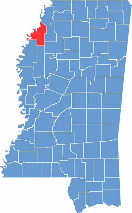
The Mississippi Delta has plenty of hidden gems, and Coahoma County is one of them. This slice of Delta life sits in the northwestern corner of the state along the mighty Mississippi River.
Blues fans, take note—this is where the legendary Muddy Waters grew up. While you’re here, grab a plate of hot tamales, a Delta favorite, and settle in for authentic blues at Ground Zero Blues Club.
Coahoma County is about more than music, though. It has plenty of grit and a strong agricultural tradition. Its rich soil once made it a cotton kingdom, but today the focus is on preserving history and celebrating the area’s culture.

Mississippi Counties
Rankin County Map Download Mississippi – Outline Map and Blank Map

Mississippi Counties
Madison County Map Download Mississippi – Outline Map and Blank Map

Mississippi Counties
Jackson County Map Download Mississippi – Outline Map and Blank Map

Mississippi Counties
Hinds County Map Download Mississippi – Outline Map and Blank Map

Mississippi Counties
Harrison County Map Download Mississippi – Outline Map and Blank Map

Mississippi Counties