
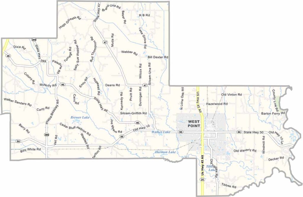
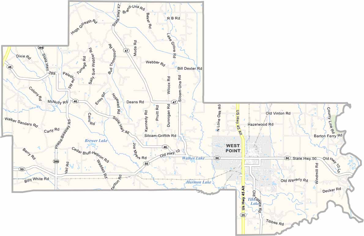
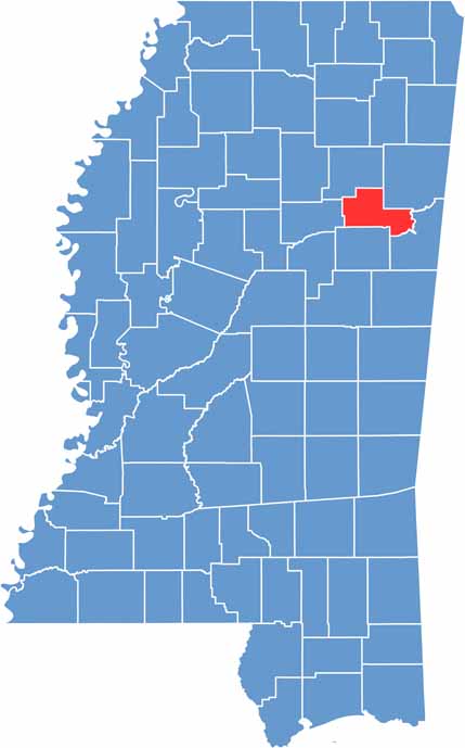
Clay County is located in northeastern Mississippi, not far from the Alabama border. It sits between the Tombigbee River and the surrounding prairie lands.
West Point serves as the county seat and is known for its antebellum homes and Southern hospitality. Residents take pride in their community, which features a mix of farmland and forests, along with rolling hills that provide scenic views.
Native American tribes inhabited the area long before European settlers arrived. Today, Clay County places a strong emphasis on education, with Mississippi State University located not far to the south.

Mississippi Counties
Rankin County Map Download Mississippi – Outline Map and Blank Map

Mississippi Counties
Madison County Map Download Mississippi – Outline Map and Blank Map

Mississippi Counties
Jackson County Map Download Mississippi – Outline Map and Blank Map

Mississippi Counties
Hinds County Map Download Mississippi – Outline Map and Blank Map

Mississippi Counties
Harrison County Map Download Mississippi – Outline Map and Blank Map

Mississippi Counties