
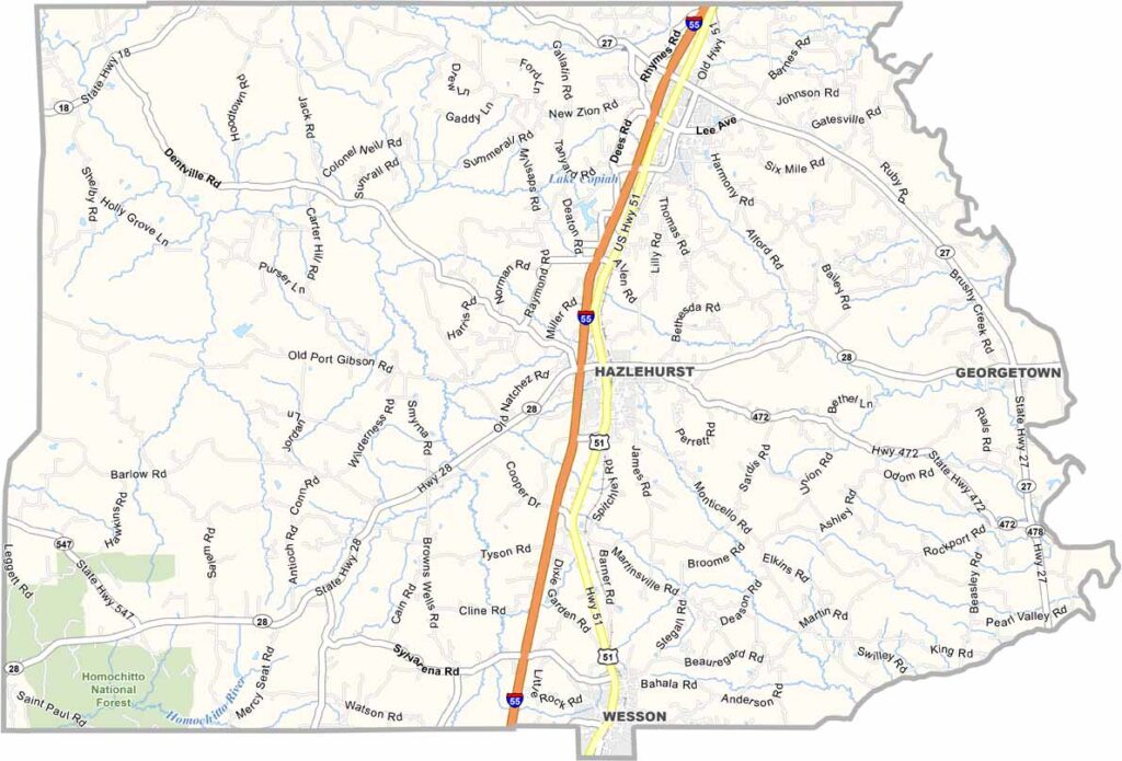
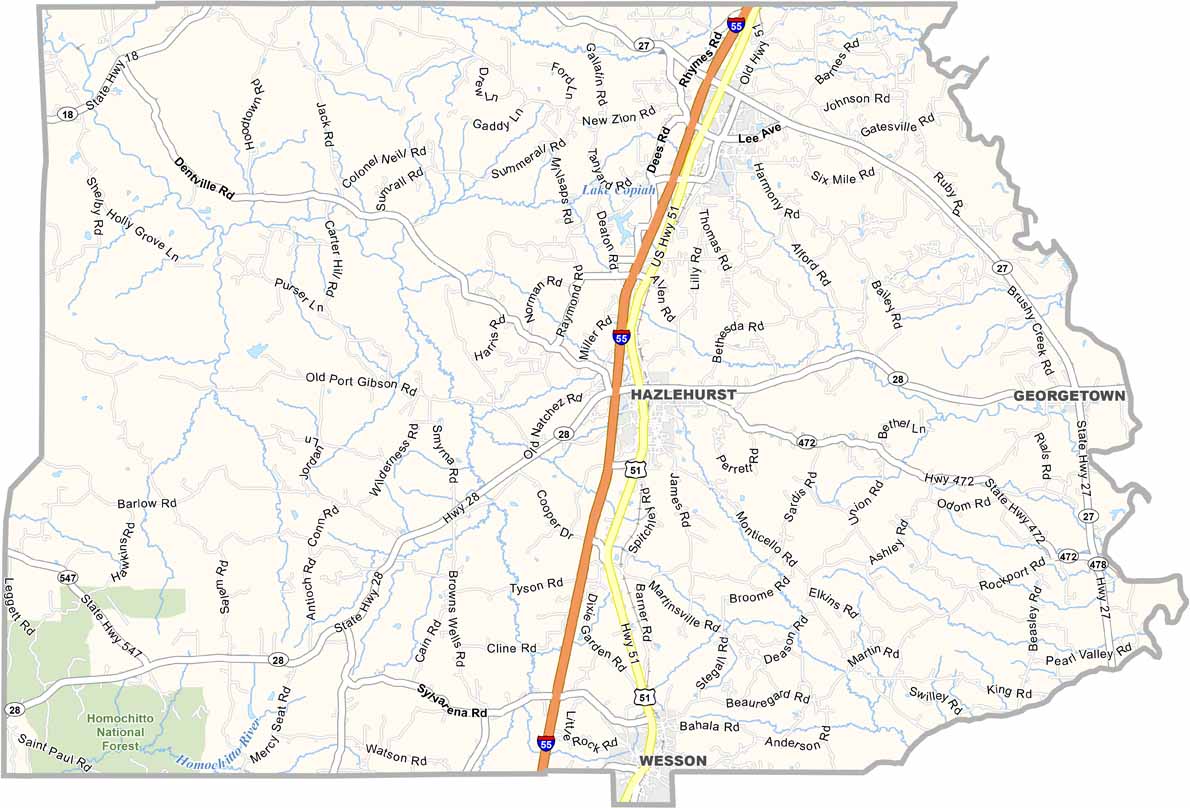
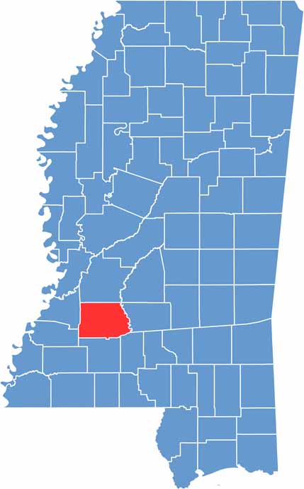
Copiah County is located just southwest of Jackson. It isn’t your typical tourist destination. It’s a real place with plenty of stories to tell, from Civil War skirmishes to the early roots of the blues.
Hazlehurst serves as the county seat and sits near the center of the county. Crystal Springs once shipped so many tomatoes that it earned the nickname “Tomatopolis.” No joke. These days, life moves at a slower pace, but that’s part of the county’s charm.
Copiah County isn’t stuck in the past, though. It continues to evolve. Its mix of rolling hills and fertile plains makes it ideal for farming, and roadside stands offer plenty of fresh local produce.

Mississippi Counties
Rankin County Map Download Mississippi – Outline Map and Blank Map

Mississippi Counties
Madison County Map Download Mississippi – Outline Map and Blank Map

Mississippi Counties
Jackson County Map Download Mississippi – Outline Map and Blank Map

Mississippi Counties
Hinds County Map Download Mississippi – Outline Map and Blank Map

Mississippi Counties
Harrison County Map Download Mississippi – Outline Map and Blank Map

Mississippi Counties