
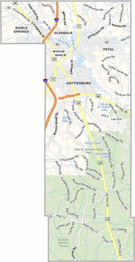
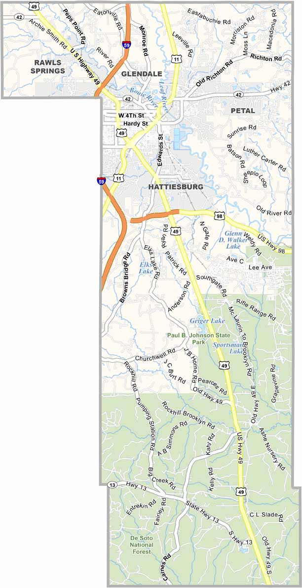
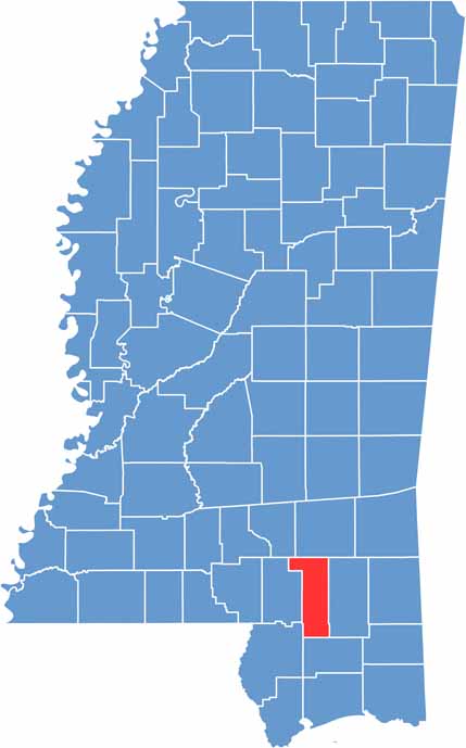
Forrest County sits in the heart of south Mississippi, surrounded by pine forests. Hattiesburg serves as the county seat and is the center of activity. The University of Southern Mississippi is also located here, bringing a youthful energy to the area.
Historic downtown Hattiesburg is experiencing a revival, with new shops and restaurants opening in old brick buildings. Camp Shelby is also located here and is one of the largest National Guard training bases in the country.
On weekends, locals head to Paul B. Johnson State Park for fishing and camping. The 41-mile Longleaf Trace attracts cyclists and joggers from across the region. Forrest County offers a little bit of everything, from small-town vibes in Petal to big-city amenities in Hattiesburg and plenty of nature in between.

Rankin County Map Download Mississippi – Outline Map and Blank Map

Madison County Map Download Mississippi – Outline Map and Blank Map

Jackson County Map Download Mississippi – Outline Map and Blank Map

Hinds County Map Download Mississippi – Outline Map and Blank Map

Harrison County Map Download Mississippi – Outline Map and Blank Map
