
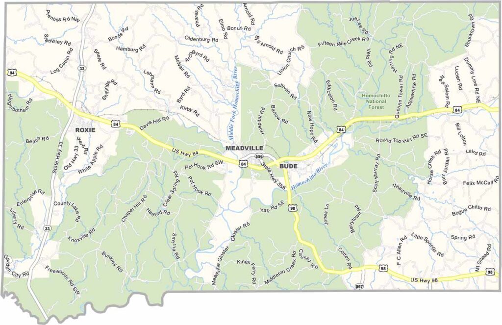
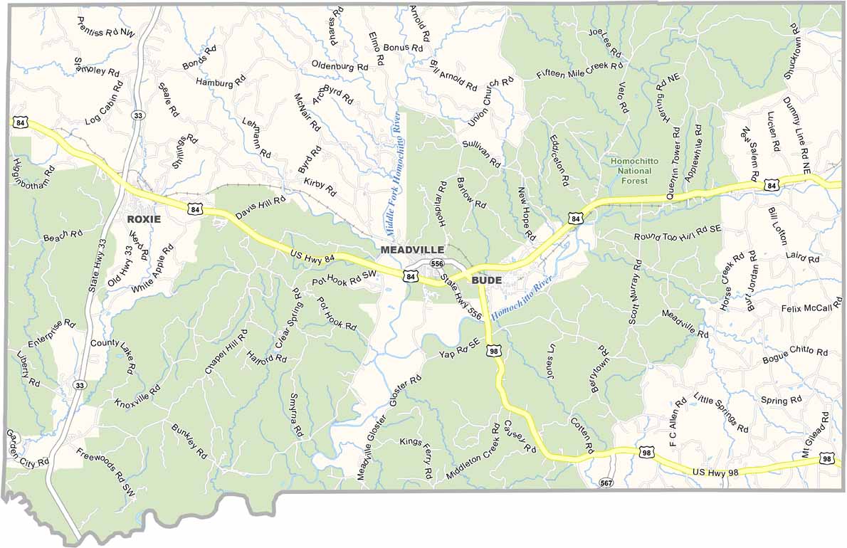
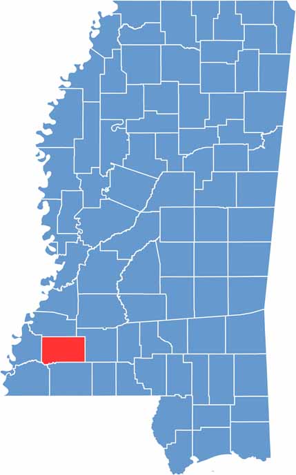
Franklin County is located in southwestern Mississippi. It has deep historical roots, having been one of the original counties established when Mississippi became a state.
The Homochitto National Forest covers a large portion of the county, making it a favorite spot for hunters and hikers. The mighty Mississippi River forms the western boundary, with bluffs offering scenic views of the water.
Locals swear by the catfish at the Bude Truck Stop. Around here, you’re more likely to hear tractors than traffic. Franklin County may be small, but what it lacks in size, it more than makes up for in character.

Mississippi Counties
Rankin County Map Download Mississippi – Outline Map and Blank Map

Mississippi Counties
Madison County Map Download Mississippi – Outline Map and Blank Map

Mississippi Counties
Jackson County Map Download Mississippi – Outline Map and Blank Map

Mississippi Counties
Hinds County Map Download Mississippi – Outline Map and Blank Map

Mississippi Counties
Harrison County Map Download Mississippi – Outline Map and Blank Map

Mississippi Counties