
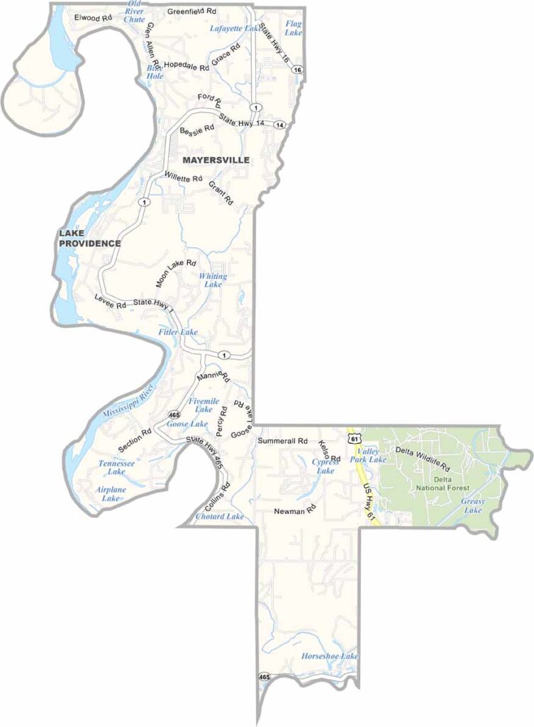
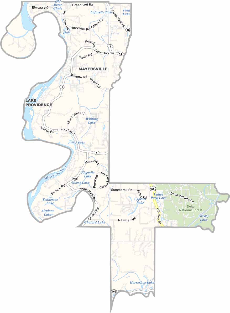
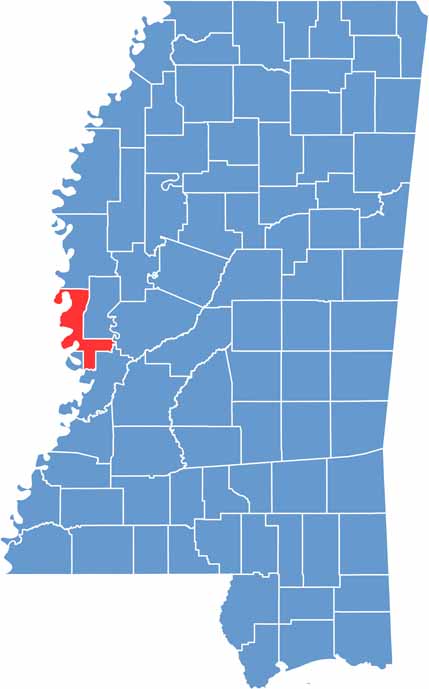
Issaquena County is the least populated county in Mississippi, with just over 1,300 residents. It is located in the western part of the state along the Mississippi River.
The county has deep agricultural roots, especially in cotton farming. Soybeans are also an important crop today. Mayersville serves as the county seat, although it is little more than a small village.
Rolling farmland and dense forests cover much of the landscape. Deer and wild turkeys are common sights here. It’s a very quiet place, making it a great fit for those who enjoy nature and solitude.

Mississippi Counties
Rankin County Map Download Mississippi – Outline Map and Blank Map

Mississippi Counties
Madison County Map Download Mississippi – Outline Map and Blank Map

Mississippi Counties
Jackson County Map Download Mississippi – Outline Map and Blank Map

Mississippi Counties
Hinds County Map Download Mississippi – Outline Map and Blank Map

Mississippi Counties
Harrison County Map Download Mississippi – Outline Map and Blank Map

Mississippi Counties