
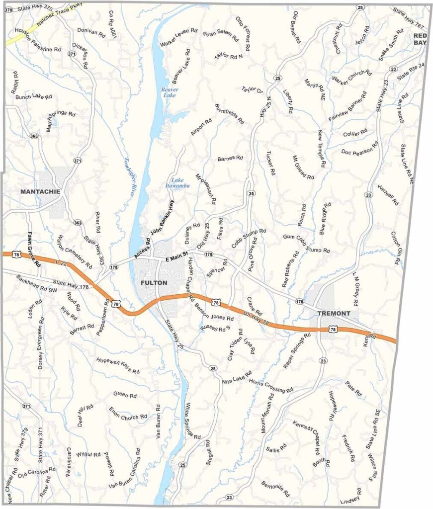
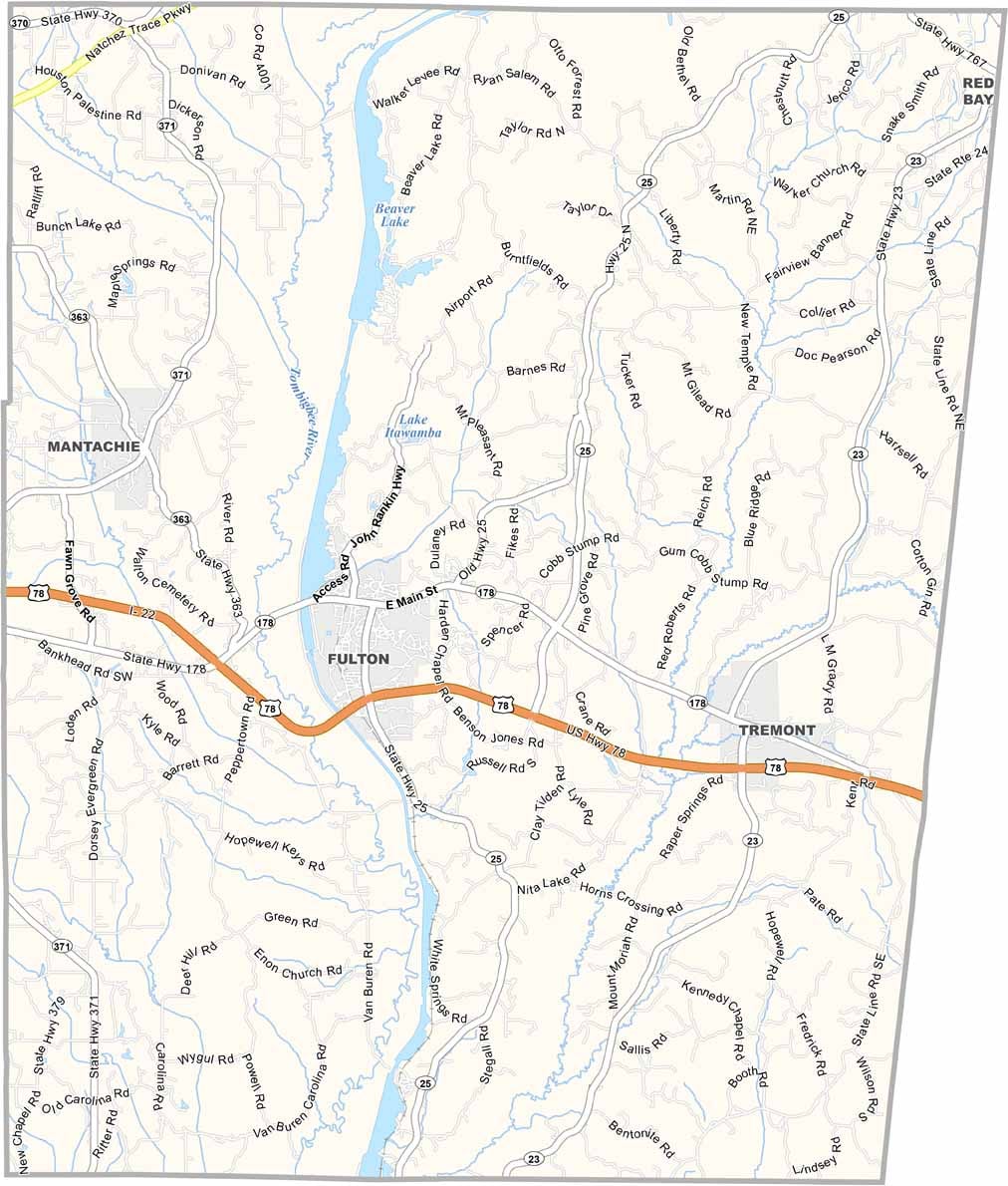
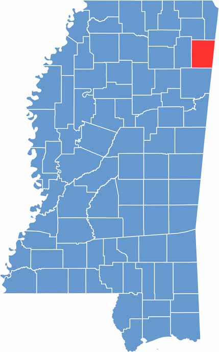
Itawamba County is located in northeastern Mississippi along the Alabama border. It’s a quiet, unassuming place, and its name comes from a Chickasaw chief, reflecting the area’s Native American heritage.
Locals take pride in their home-style cooking and Southern hospitality. Catfish restaurants and BBQ spots are easy to find, offering plenty of tasty local favorites.
The Tombigbee River winds through the county, adding to its natural charm. Itawamba County is a relaxed place where history and Southern hospitality remain an important part of everyday life.

Mississippi Counties
Rankin County Map Download Mississippi – Outline Map and Blank Map

Mississippi Counties
Madison County Map Download Mississippi – Outline Map and Blank Map

Mississippi Counties
Jackson County Map Download Mississippi – Outline Map and Blank Map

Mississippi Counties
Hinds County Map Download Mississippi – Outline Map and Blank Map

Mississippi Counties
Harrison County Map Download Mississippi – Outline Map and Blank Map

Mississippi Counties