
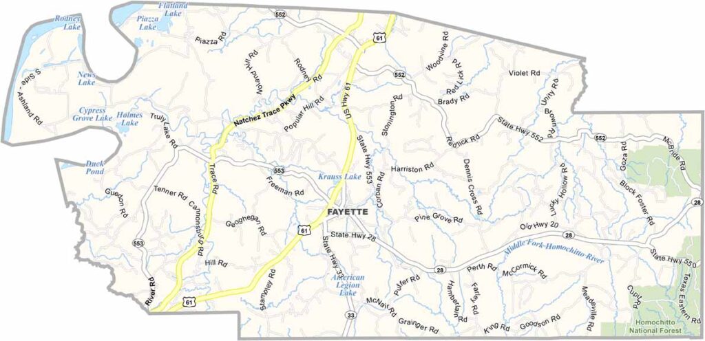
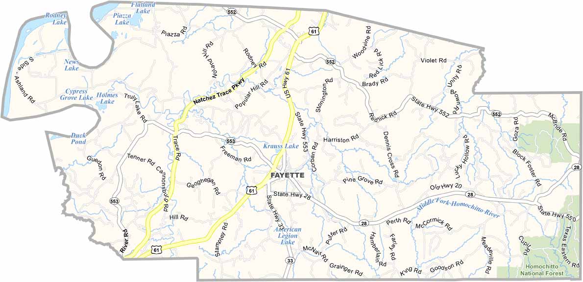
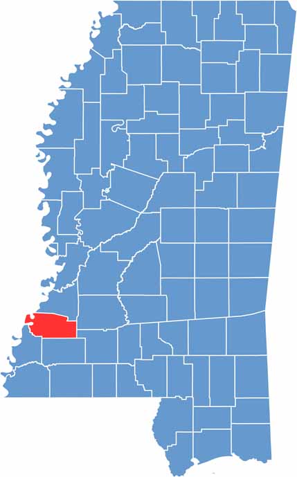
Jefferson County is located in southwestern Mississippi along the Louisiana border. The area has a long history that reaches back to the early 1800s.
Fayette serves as the county seat and is a small community with plenty of Southern charm. The county is named after Thomas Jefferson, and its past can still be seen in its antebellum homes and historic churches.
Forests cover much of Jefferson County, with farmland and winding creeks breaking up the landscape. There are no major cities here, but visitors can enjoy the natural surroundings through fishing and hunting in the dense woods.

Mississippi Counties
Rankin County Map Download Mississippi – Outline Map and Blank Map

Mississippi Counties
Madison County Map Download Mississippi – Outline Map and Blank Map

Mississippi Counties
Jackson County Map Download Mississippi – Outline Map and Blank Map

Mississippi Counties
Hinds County Map Download Mississippi – Outline Map and Blank Map

Mississippi Counties
Harrison County Map Download Mississippi – Outline Map and Blank Map

Mississippi Counties