
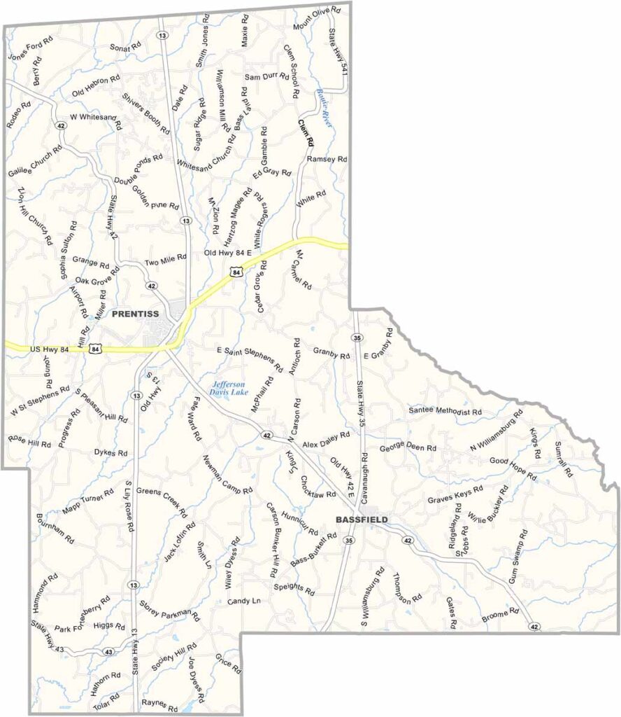
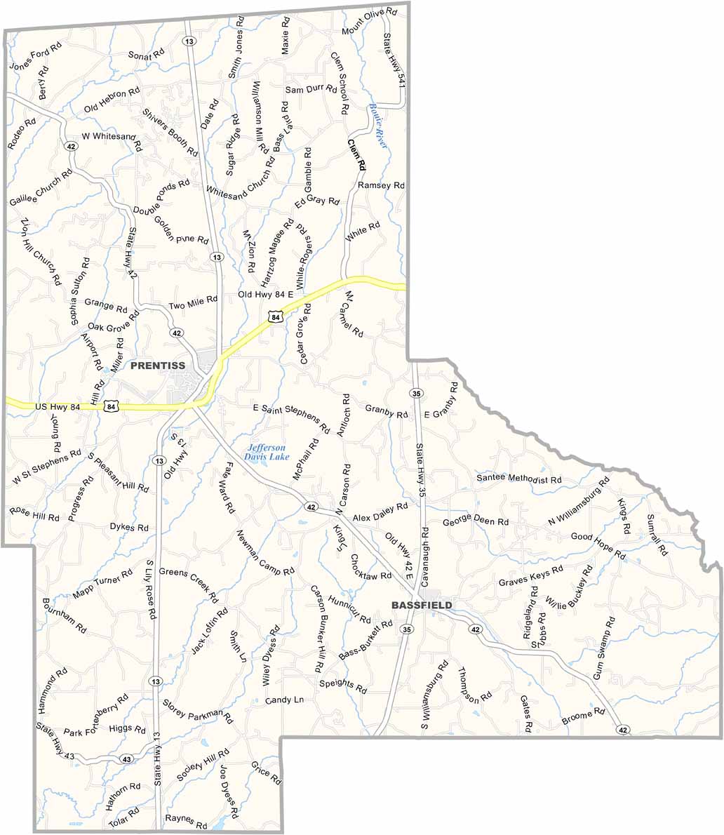
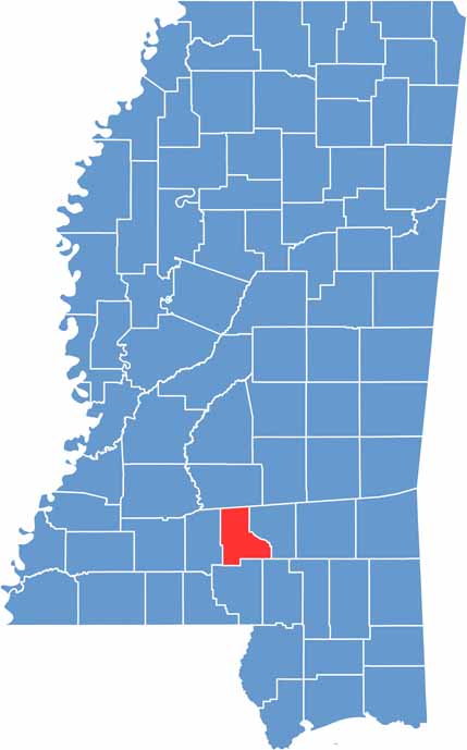
Jefferson Davis County is located in south-central Mississippi, roughly halfway between Jackson and the Gulf Coast. The county is named after Jefferson Davis, who served as President of the Confederate States during the American Civil War.
Prentiss serves as the county seat and is a small community centered around a traditional Southern courthouse square. Much of the county is covered by thick pine forests, with fields of soybeans and cotton adding variety to the landscape.
Bass fishing is popular in the area’s lakes and streams. Despite the challenges it faces, the community continues working toward a brighter future for the next generation.

Mississippi Counties
Rankin County Map Download Mississippi – Outline Map and Blank Map

Mississippi Counties
Madison County Map Download Mississippi – Outline Map and Blank Map

Mississippi Counties
Jackson County Map Download Mississippi – Outline Map and Blank Map

Mississippi Counties
Hinds County Map Download Mississippi – Outline Map and Blank Map

Mississippi Counties
Harrison County Map Download Mississippi – Outline Map and Blank Map

Mississippi Counties