
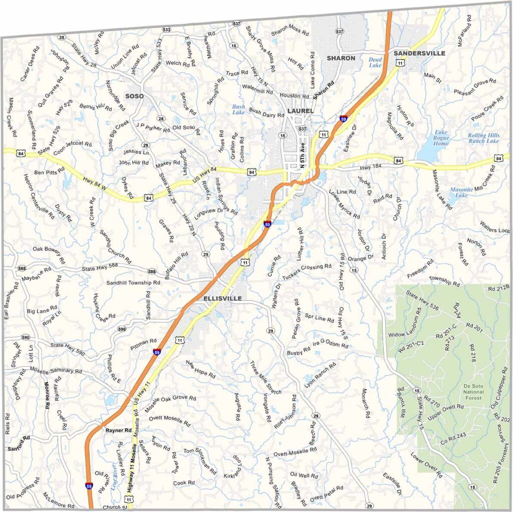
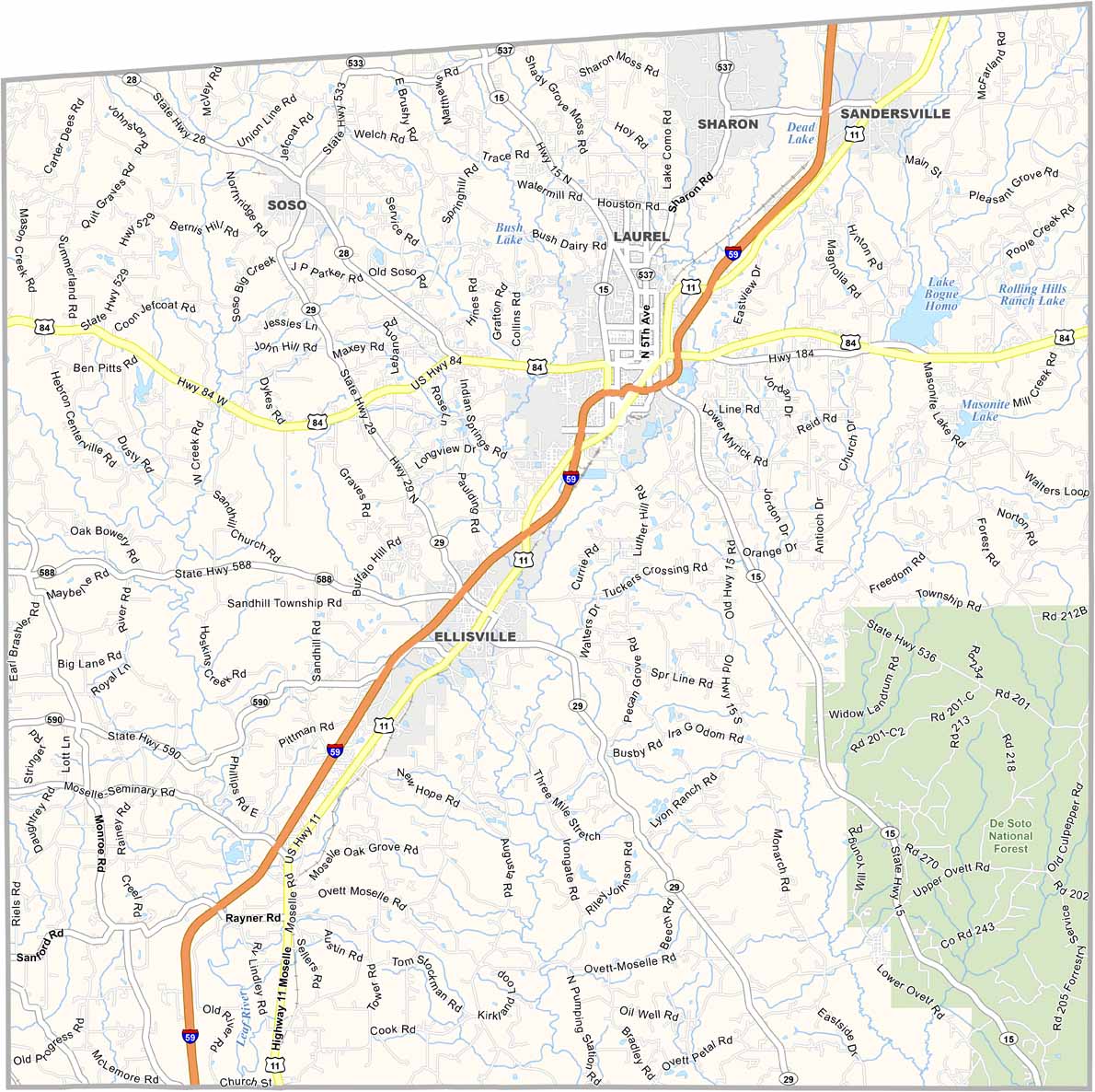
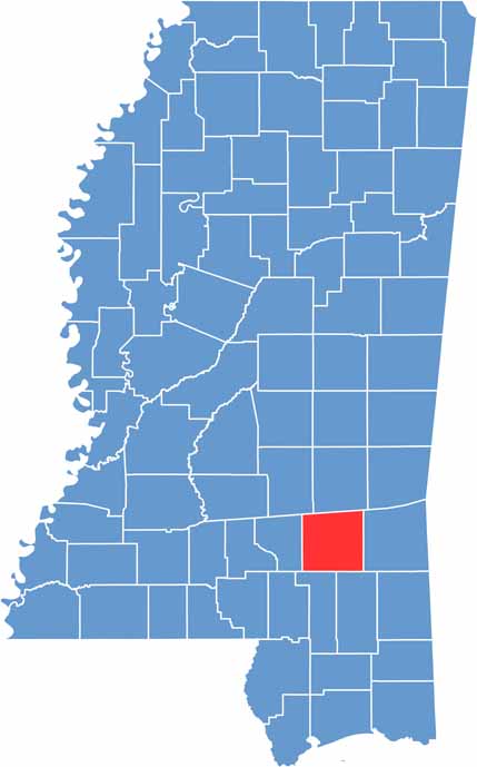
Jones County is nestled in the Piney Woods of southeastern Mississippi. It has a rebellious history and is known for its attempt to break away from the Confederacy during the Civil War.
Laurel and Ellisville both serve as county seats, which is a little unusual. The county takes its name from John Paul Jones, the famous naval hero.
Pine forests dominate the landscape, with De Soto National Forest covering the southeastern part. The area has a fresh, pine-scented atmosphere. Oil and timber helped build the local economy, while healthcare and manufacturing now play important roles.

Mississippi Counties
Rankin County Map Download Mississippi – Outline Map and Blank Map

Mississippi Counties
Madison County Map Download Mississippi – Outline Map and Blank Map

Mississippi Counties
Jackson County Map Download Mississippi – Outline Map and Blank Map

Mississippi Counties
Hinds County Map Download Mississippi – Outline Map and Blank Map

Mississippi Counties
Harrison County Map Download Mississippi – Outline Map and Blank Map

Mississippi Counties