

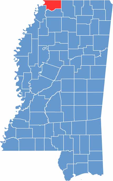
DeSoto County is located in northwestern Mississippi, just south of Memphis. It’s one of the state’s fastest-growing areas, with Olive Branch and Southaven leading the way as they grow from quiet towns into busy cities.
Despite the rapid growth, there are still plenty of open spaces and farmland throughout the county. The Mississippi River forms the western boundary, adding to the area’s natural landscape.
Sports fans know Snowden Grove Park as a popular destination for youth baseball. Local restaurants also serve up plenty of barbecue and catfish that are sure to satisfy.
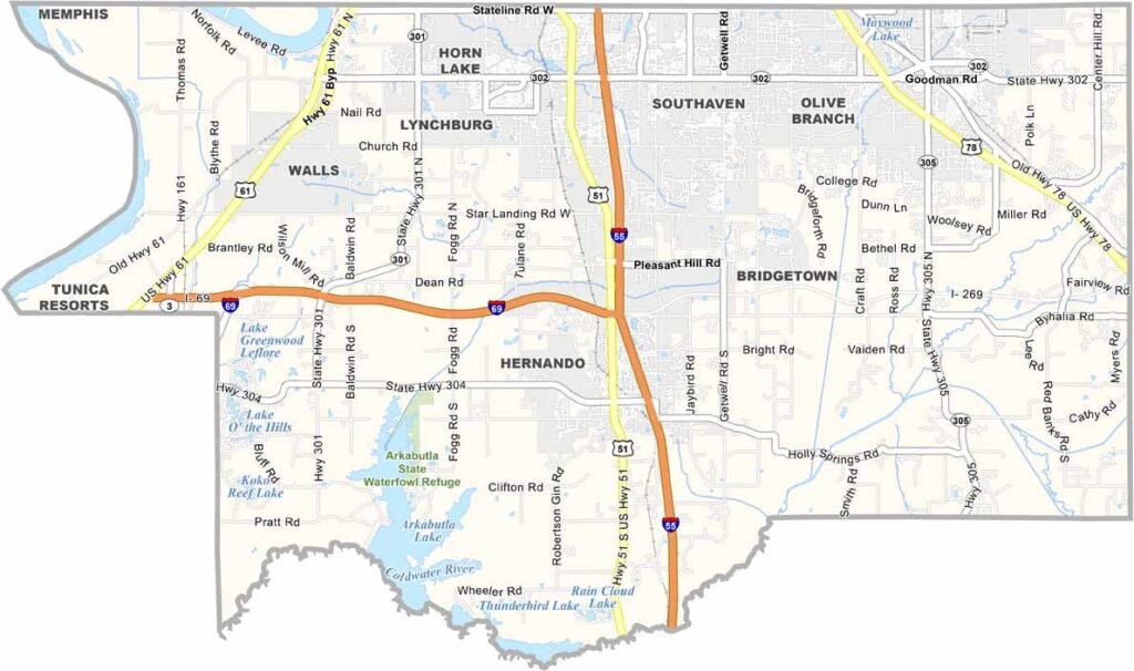
Our DeSoto County road map highlights the highway network and local roads throughout the area. I-55 serves as the main north-south route, while I-69 crosses the county from east to west. With the county growing rapidly, new roads and construction projects are frequently added.
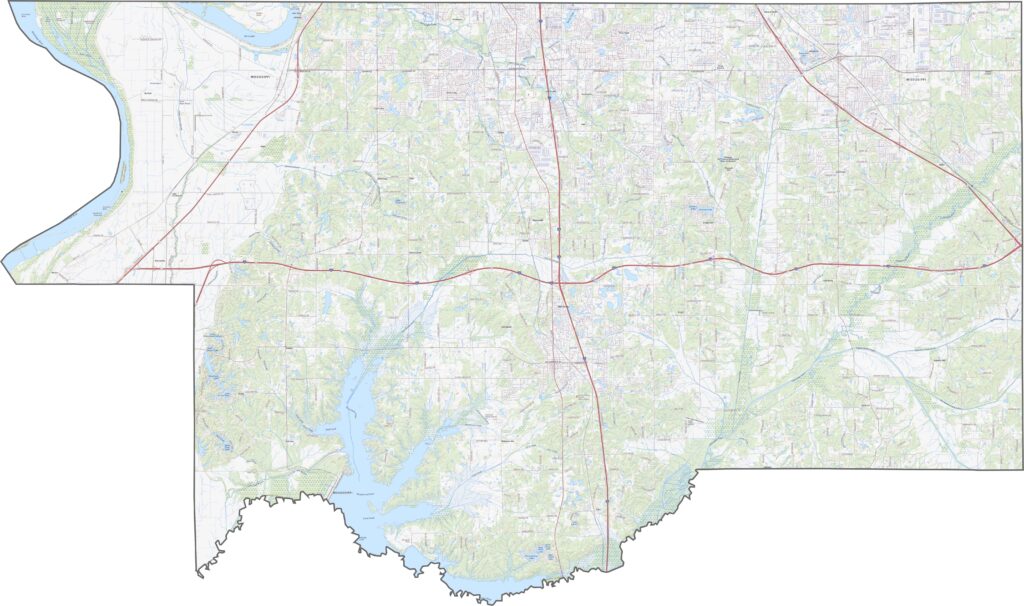
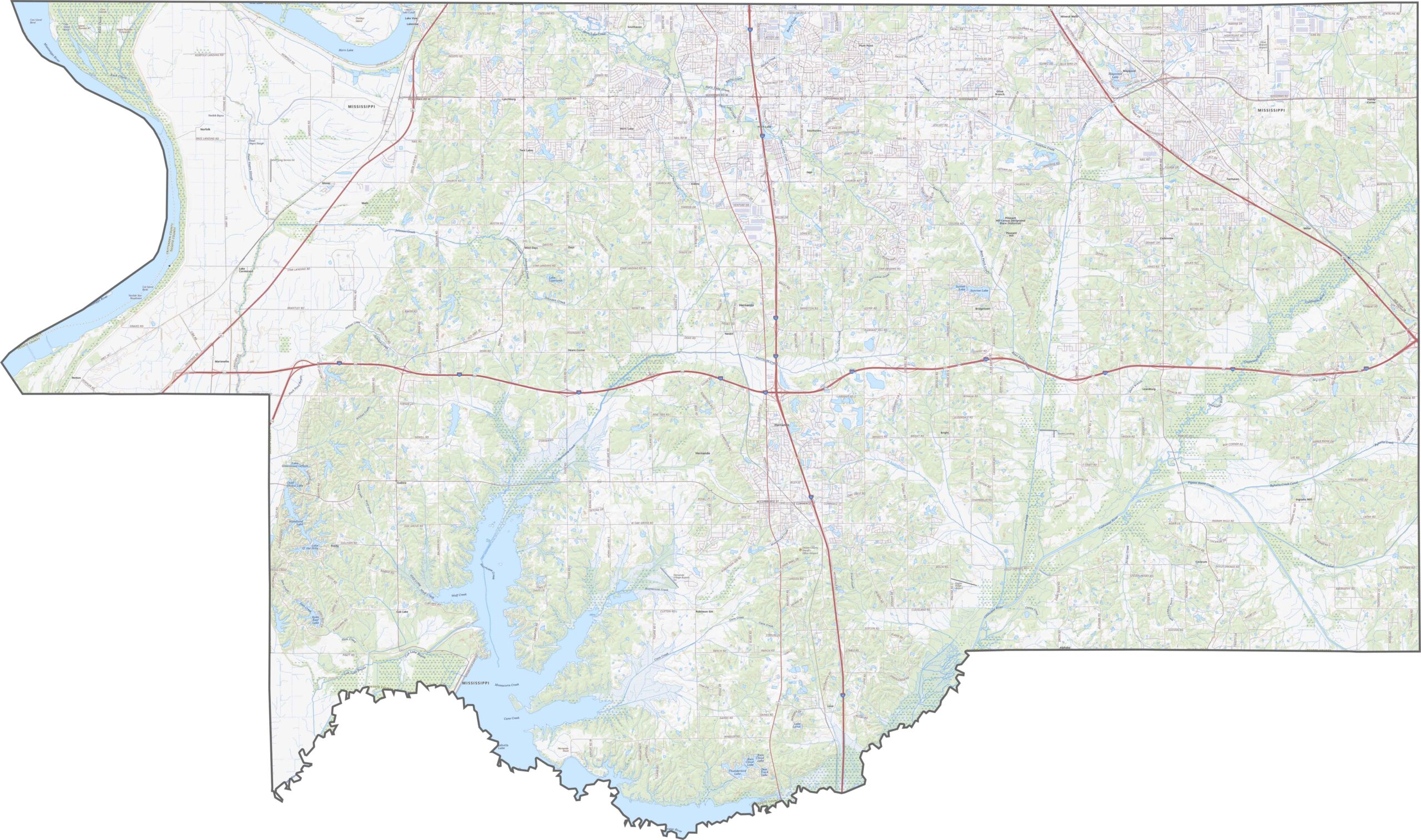
Our satellite map of DeSoto County shows new developments expanding across former farmland. The Mississippi River forms the western boundary, separating Mississippi from Tennessee and Arkansas. Agricultural fields remain especially prominent across the southern part of the county.
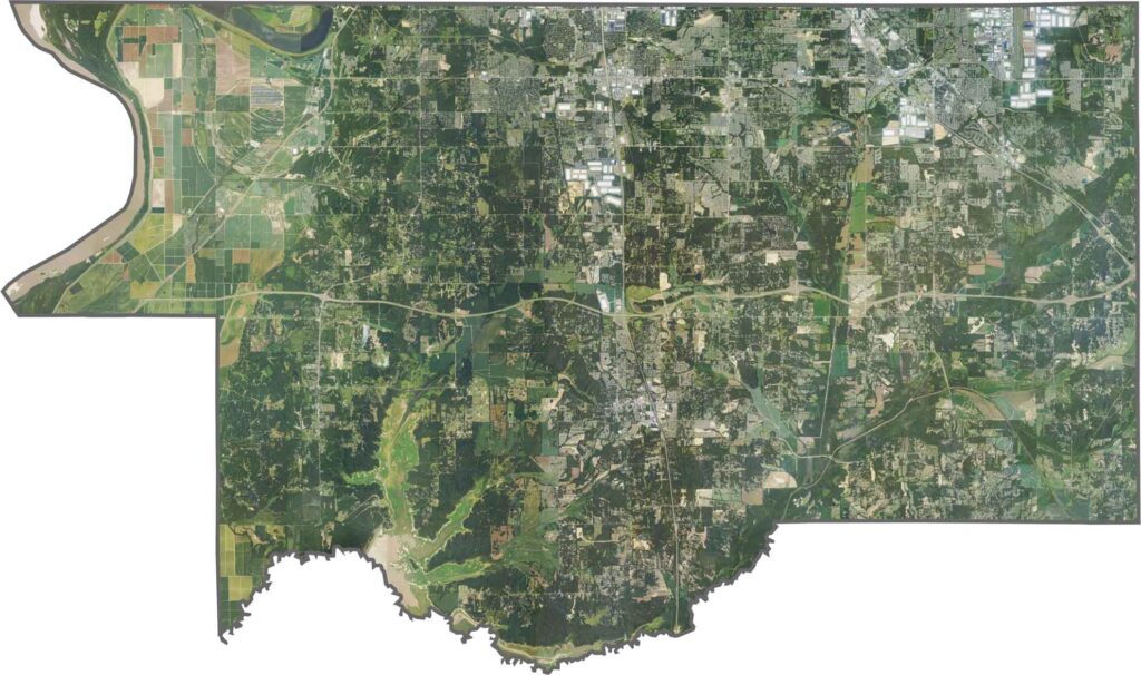
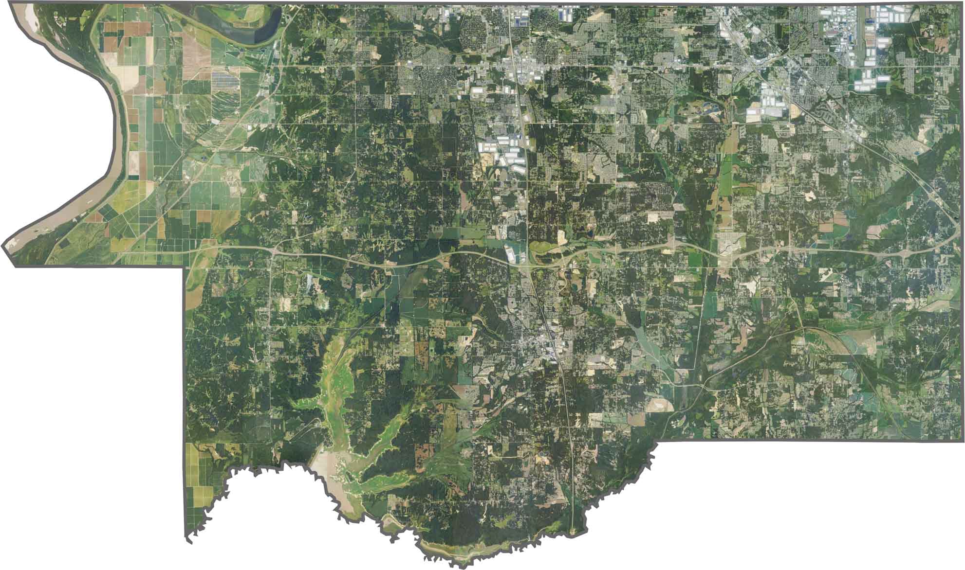
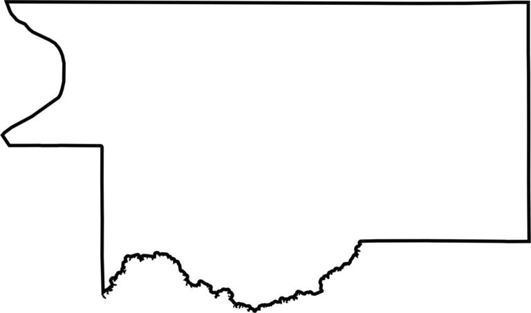
DeSoto County stretches in a long, narrow shape along northwestern Mississippi. The Mississippi River forms part of its western edge, with Tennessee located across the water. The county gradually narrows as it extends southward, while Arkabutla Lake forms part of its southern boundary.


Rankin County Map Download Mississippi – Outline Map and Blank Map

Madison County Map Download Mississippi – Outline Map and Blank Map

Jackson County Map Download Mississippi – Outline Map and Blank Map

Hinds County Map Download Mississippi – Outline Map and Blank Map

Harrison County Map Download Mississippi – Outline Map and Blank Map
