
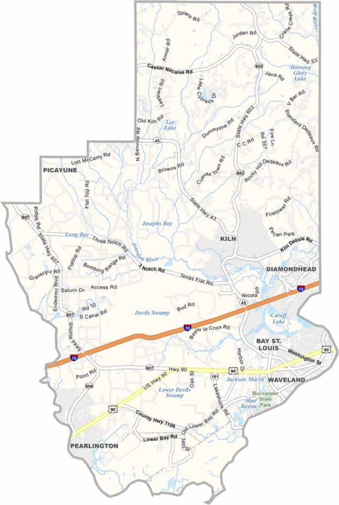
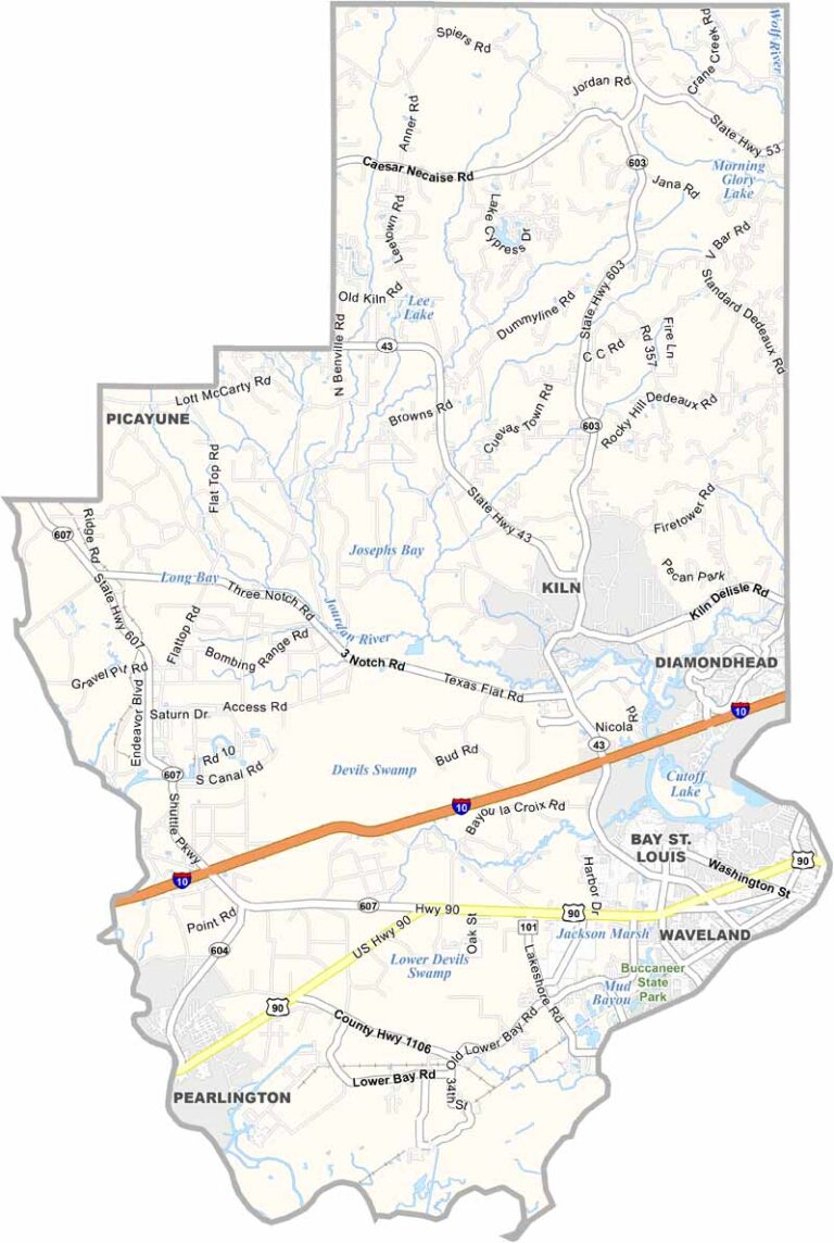
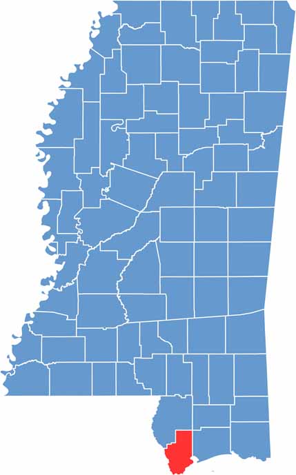
Hancock County lies along Mississippi’s Gulf Coast in the southern part of the state. It is the westernmost county and borders Louisiana. Bay St. Louis serves as the county seat and is a popular spot for seafood lovers.
The county has faced its share of hurricanes, but its residents continue to show a strong and resilient spirit. Hancock County is also home to NASA’s Stennis Space Center, where rockets are tested.
Fishing is a favorite local activity, whether in the Bay of St. Louis or farther out in the Gulf. Despite its coastal setting, the county also features beautiful pine forests inland. It offers a relaxed lifestyle while remaining within easy reach of larger cities such as New Orleans.

Mississippi Counties
Rankin County Map Download Mississippi – Outline Map and Blank Map

Mississippi Counties
Madison County Map Download Mississippi – Outline Map and Blank Map

Mississippi Counties
Jackson County Map Download Mississippi – Outline Map and Blank Map

Mississippi Counties
Hinds County Map Download Mississippi – Outline Map and Blank Map

Mississippi Counties
Harrison County Map Download Mississippi – Outline Map and Blank Map

Mississippi Counties