
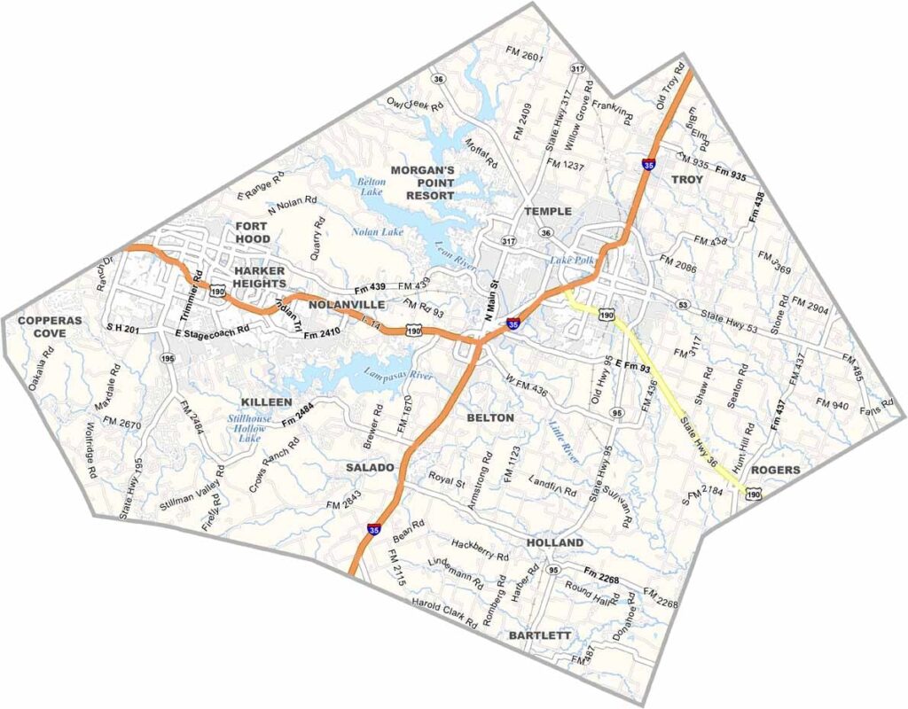
Bell County sits right in the heart of Texas. It has a little bit of everything and straddles I-35 halfway between Austin and Waco. Fort Hood calls this area home, and it’s a big deal around here.
The county has a mix of small towns and growing cities. Belton Lake is a favorite spot for boating and fishing. There’s plenty of old Texas charm, but the area isn’t stuck in the past.
The University of Mary Hardin-Baylor is located in Belton. The area is growing quickly, so new residents are moving in all the time. Still, it has managed to keep that friendly Texas vibe.
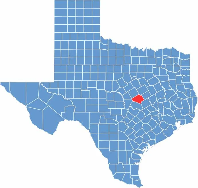
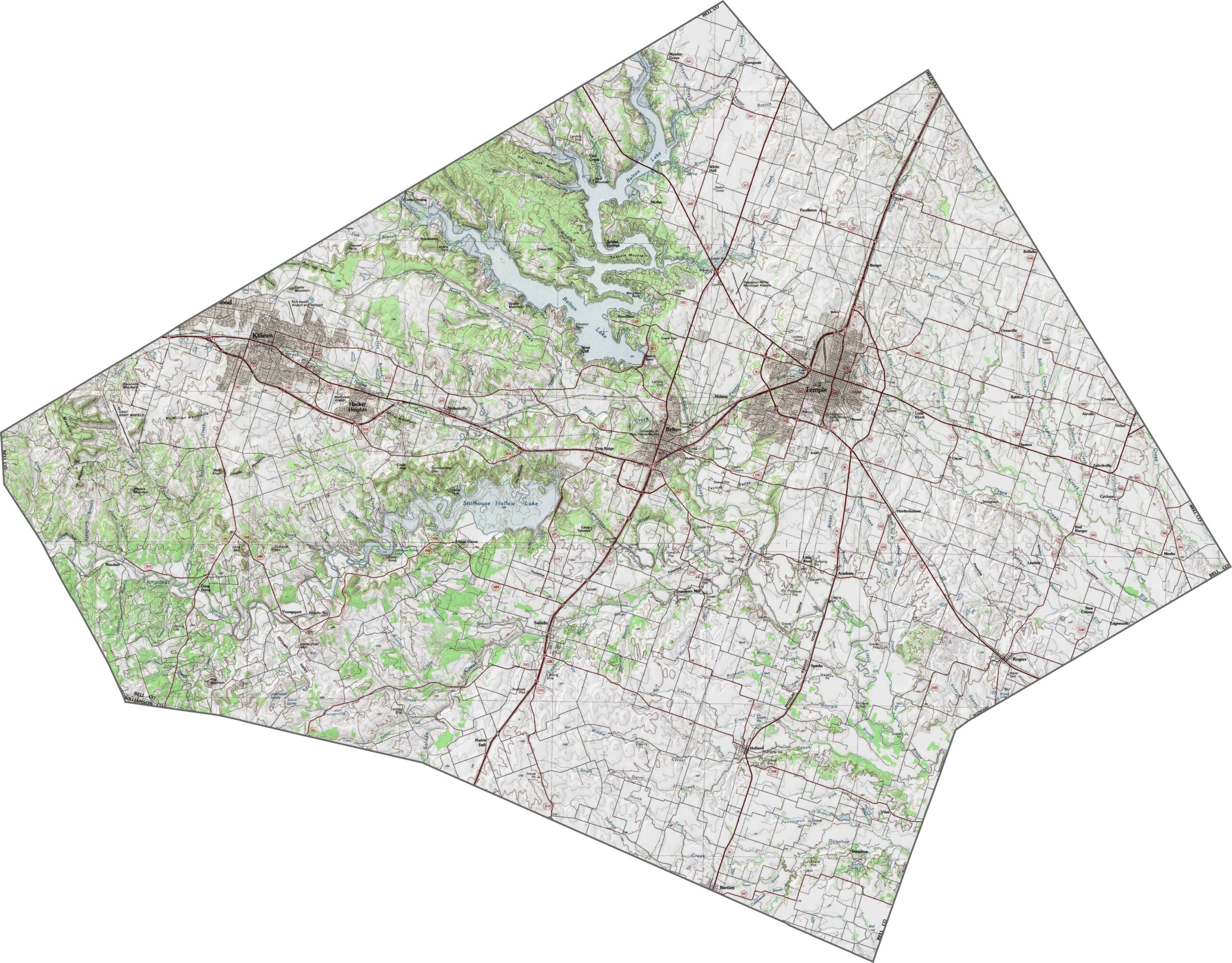
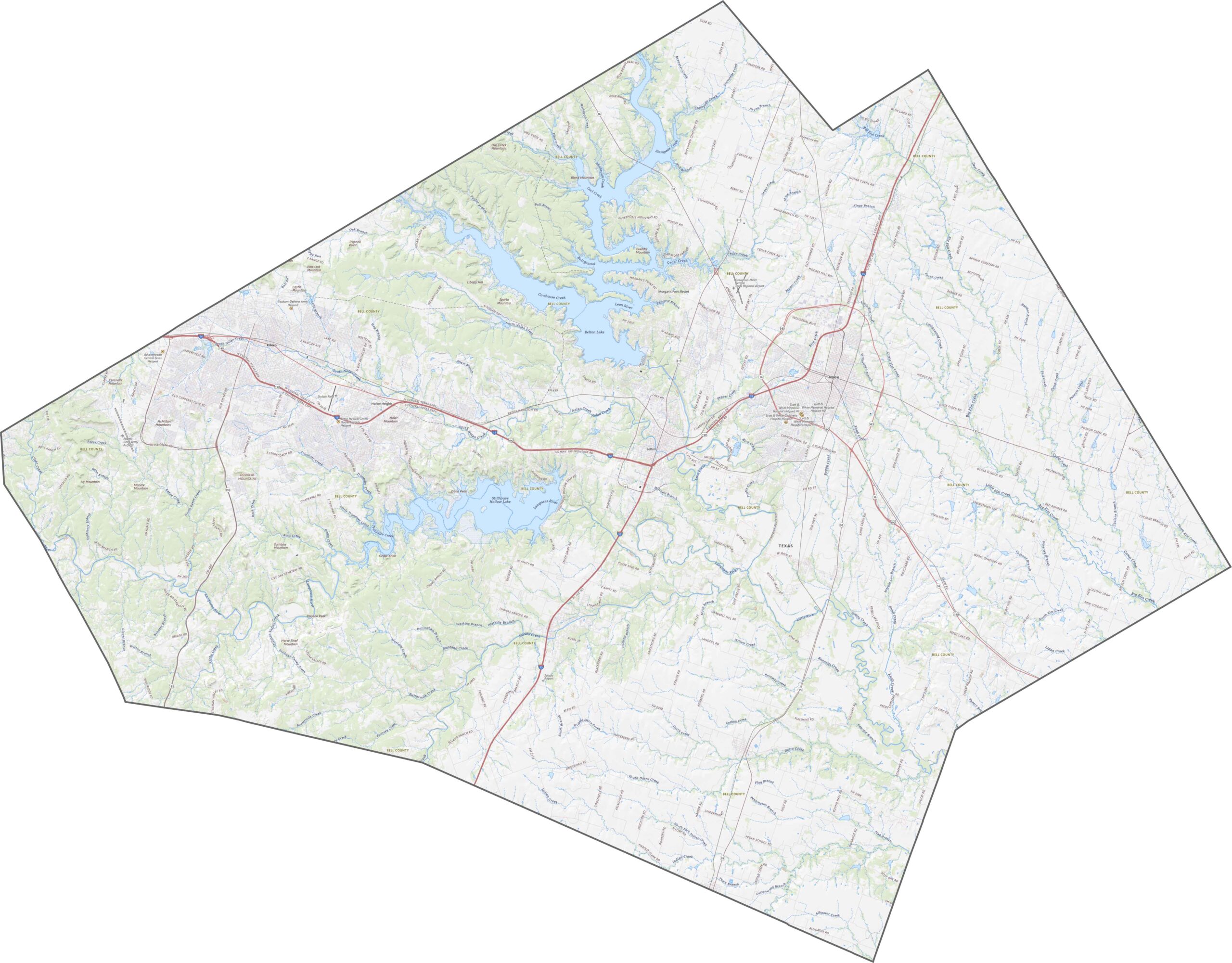
Bell County is where the Blackland Prairie meets the edge of the Hill Country. The land rises and falls in long, gentle waves. One notable feature is Stillhouse Hollow Lake, located near the center of the county.
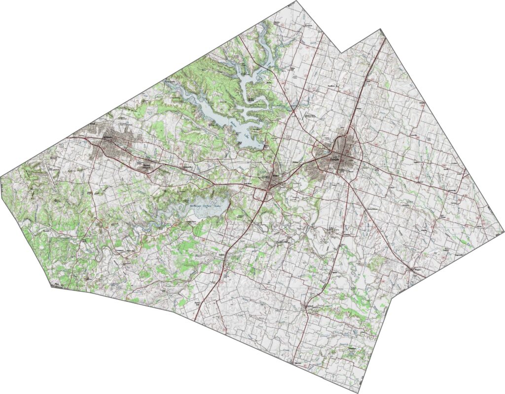
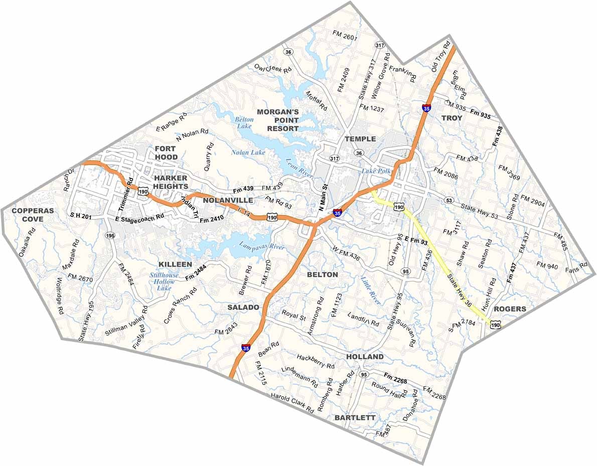
Bell County is a crossroads. Highways such as I-95 and U.S. 190 crisscross the area in multiple directions. Some roads are built for speed, while others focus on local access. Use our zoom tool to get a closer look at the layout.
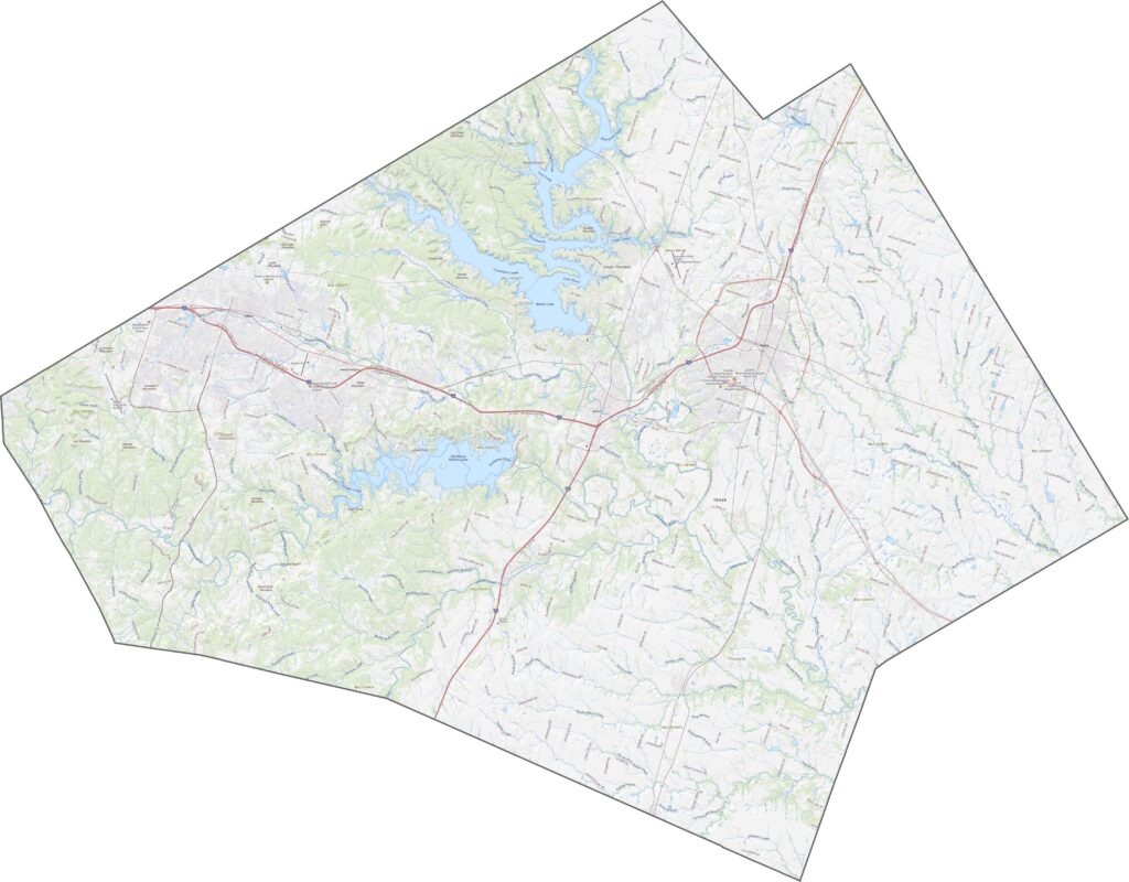
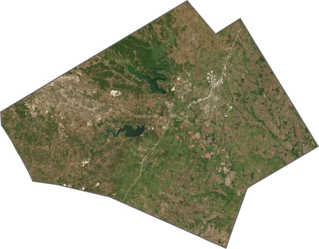
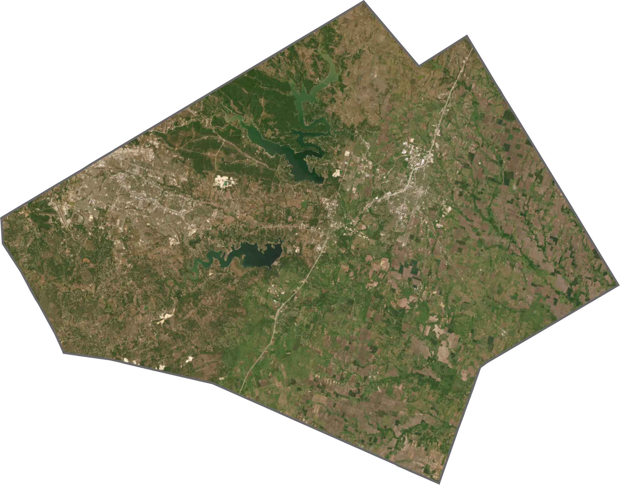
Our satellite map shows a busy landscape. Wide green stretches of grassland are broken up by towns, subdivisions, and military installations. Despite the sprawl, plenty of open land remains between the cities. Lakes also stand out clearly.
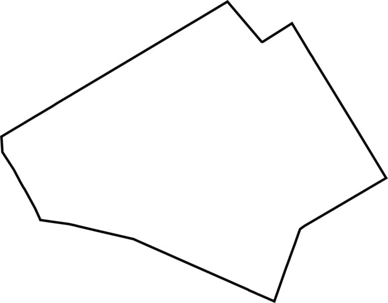
Bell County is roughly rectangular, but don’t expect a perfect box. It doesn’t border another state, but it sits near the heart of Texas. The boundaries are mostly straight.








Discover all 254 legendary Texas county maps, covering the Lone Star State from the Panhandle to the Rio Grande. That means more rodeos, honky-tonk, and Texas BBQ.