
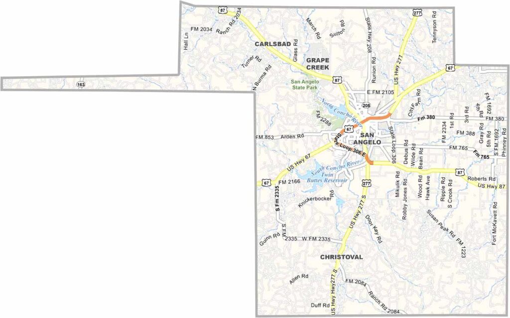
Tom Green County sits in the heart of West Texas. San Angelo serves as the county seat and has a semi-arid landscape. The Concho River flows through the city, with parks and walking trails lining its banks.
It’s a place where cowboy culture meets the arts. Seriously, there are sheep statues scattered throughout town. It’s a whole thing.
The county has a diverse economy, ranging from ranching and higher education to a major medical center. Goodfellow Air Force Base adds an international presence to the area. Tom Green County has a way of catching you by surprise.
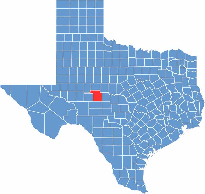
Tom Green County blends plateau and plains. It lies within the Edwards Plateau but transitions toward the Rolling Plains in the east. The Concho River helps define the landscape, winding through San Angelo and bringing surprising vegetation to this otherwise dry region.
San Angelo serves as the transportation hub, with roads spreading outward in every direction. Some routes head west toward the desert, while others lead into ranchland. Despite the county’s good connections, long stretches between towns create a quiet, wide-open feel that adds to its charm.
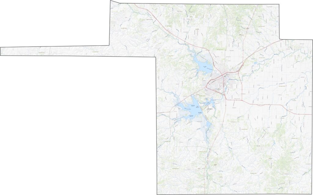
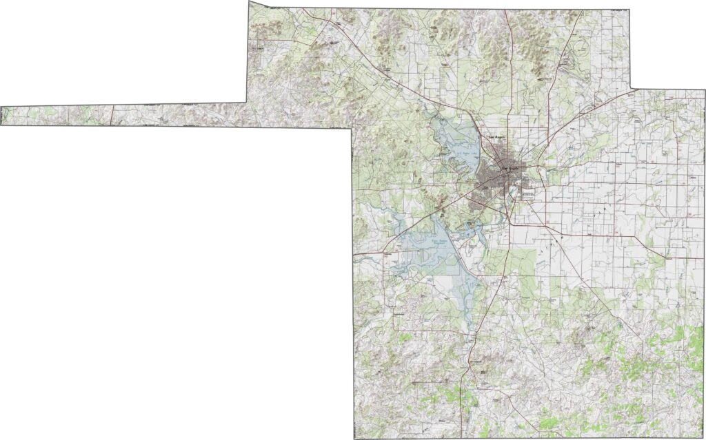
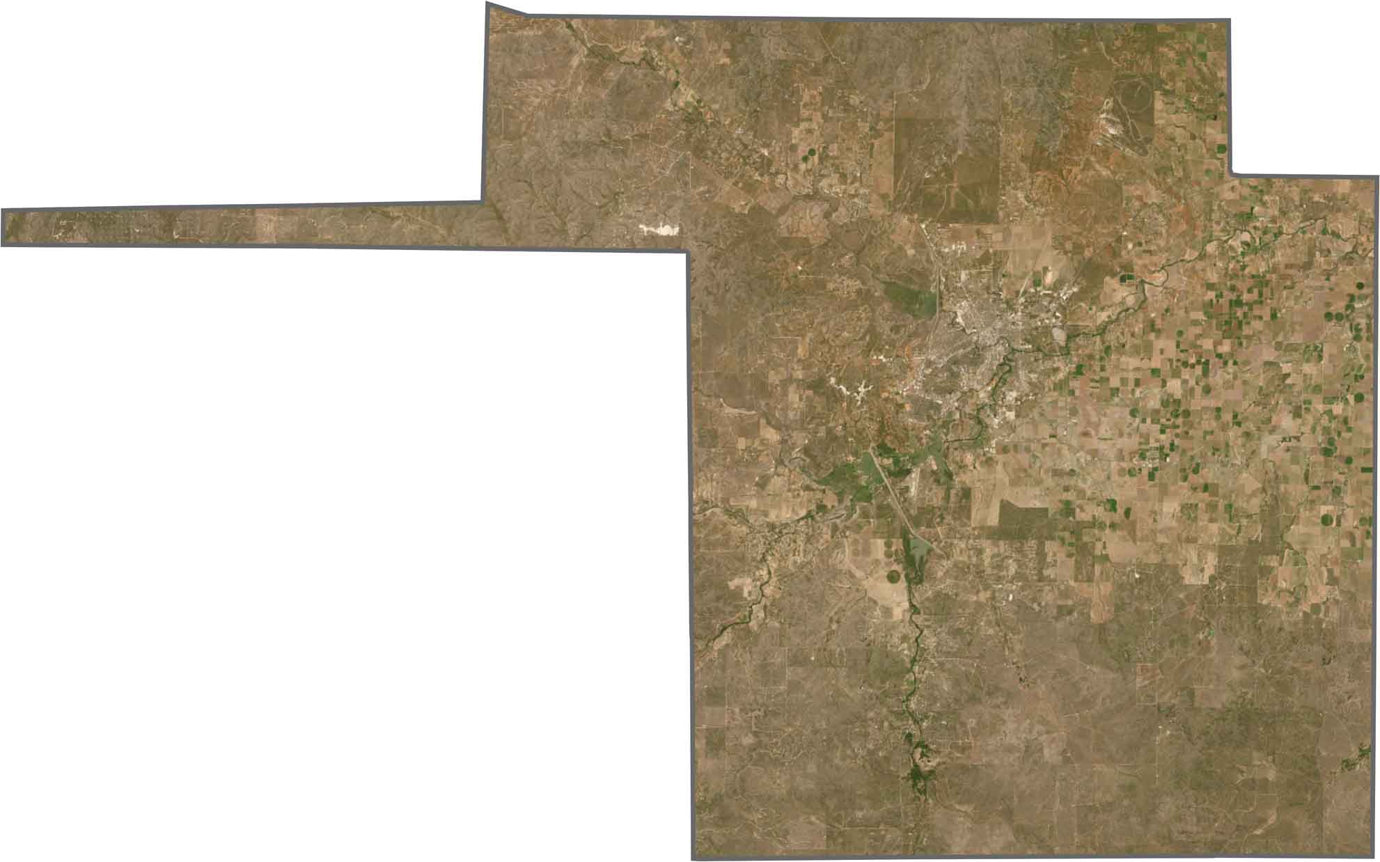
Tom Green County appears mostly in muted earth tones, including brown, tan, and olive green. San Angelo stands out with its streets and reservoirs, while ranchland and scrub dominate the areas beyond the city.
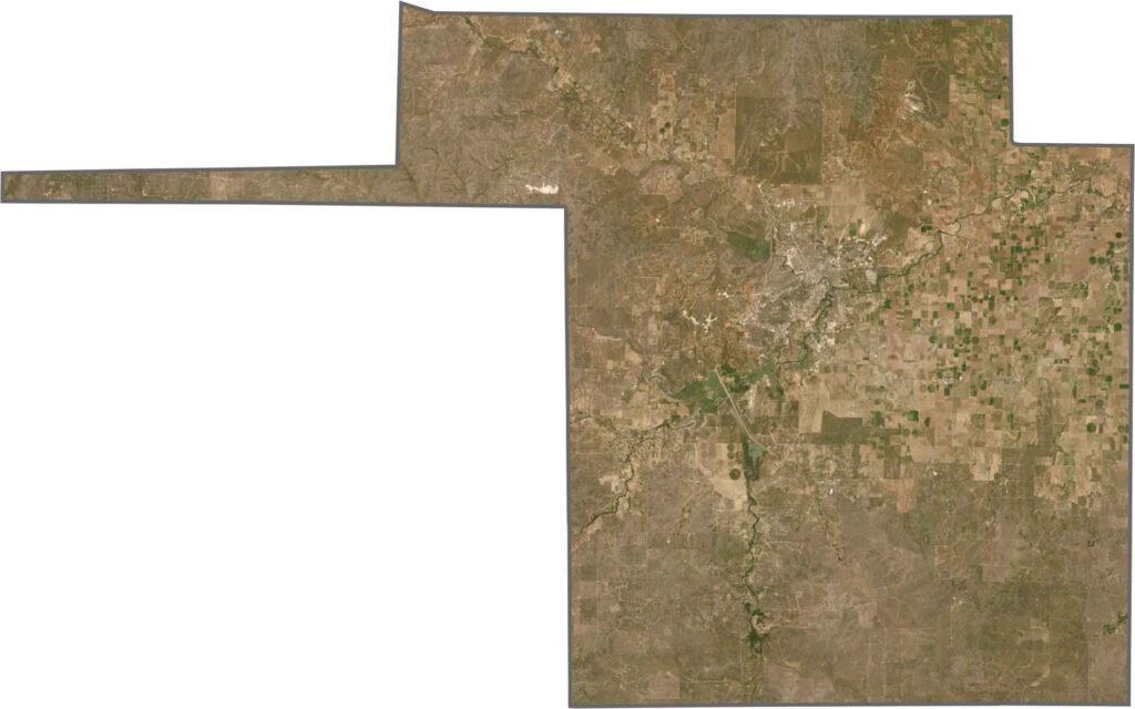
The county has an uneven shape, almost like a rectangle with one side bumped outward. It doesn’t border any neighboring states, with vast stretches of West Texas surrounding it on every side.







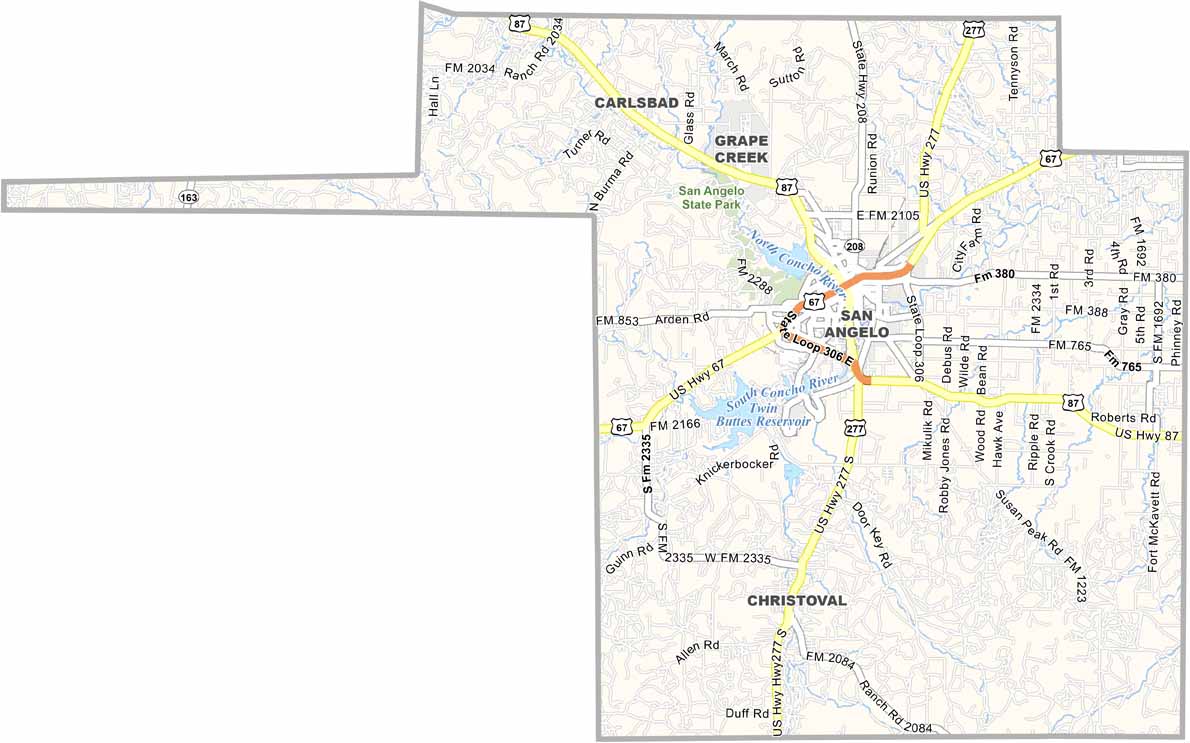
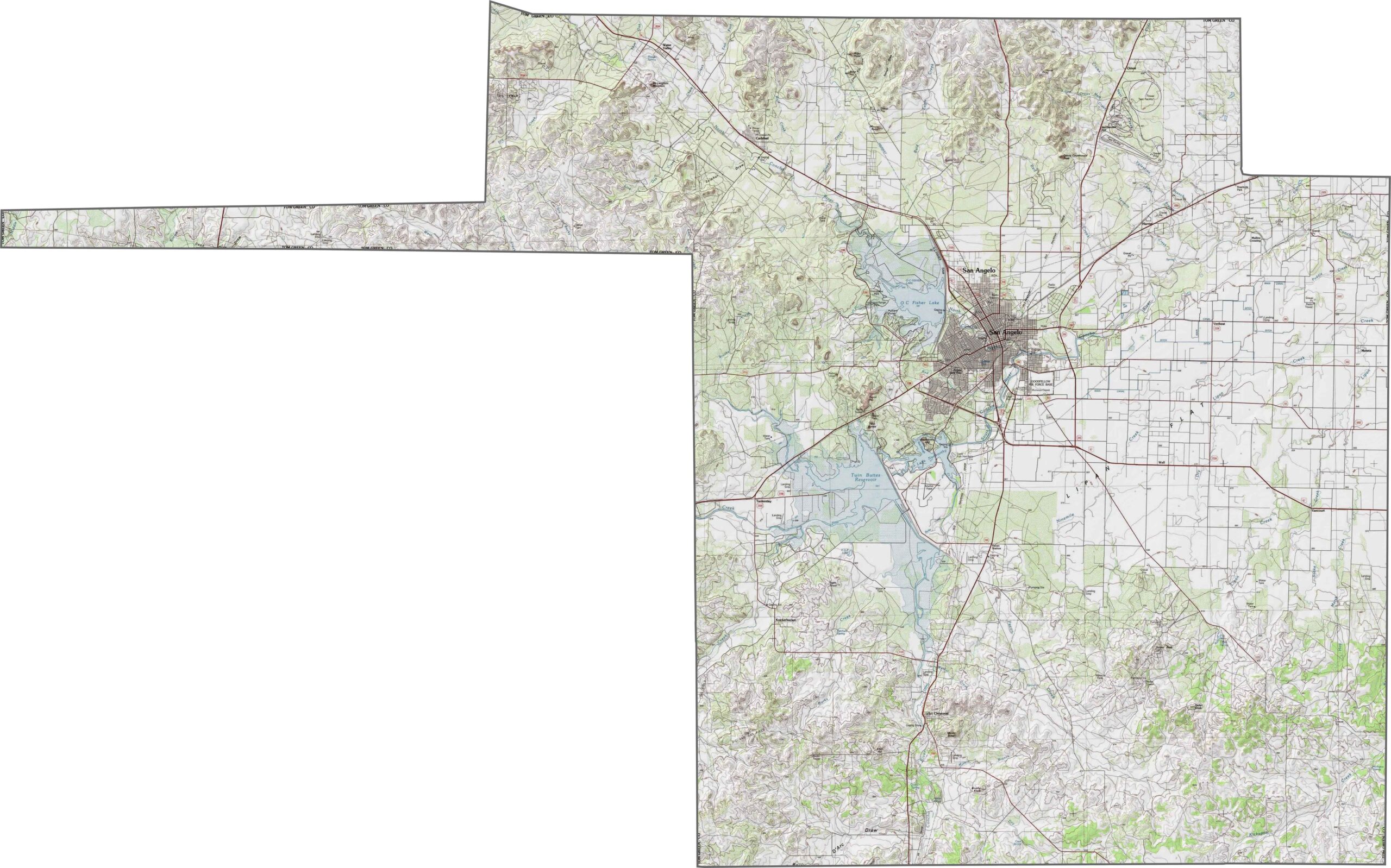
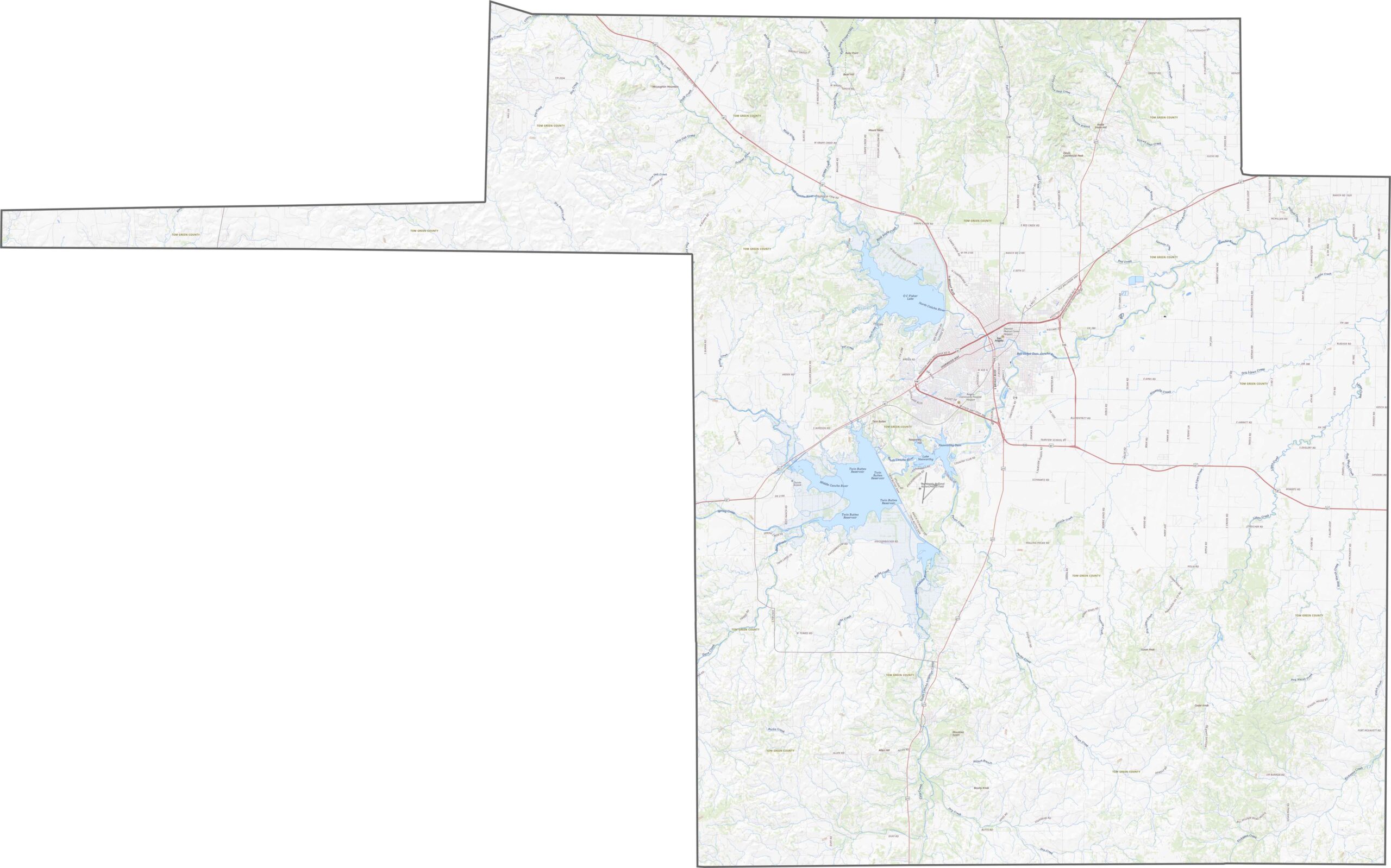


Discover all 254 legendary Texas county maps, covering the Lone Star State from the Panhandle to the Rio Grande. That means more rodeos, honky-tonk, and Texas BBQ.